Short climb, grand view: Mt. Kearsarge via Rollins State Park

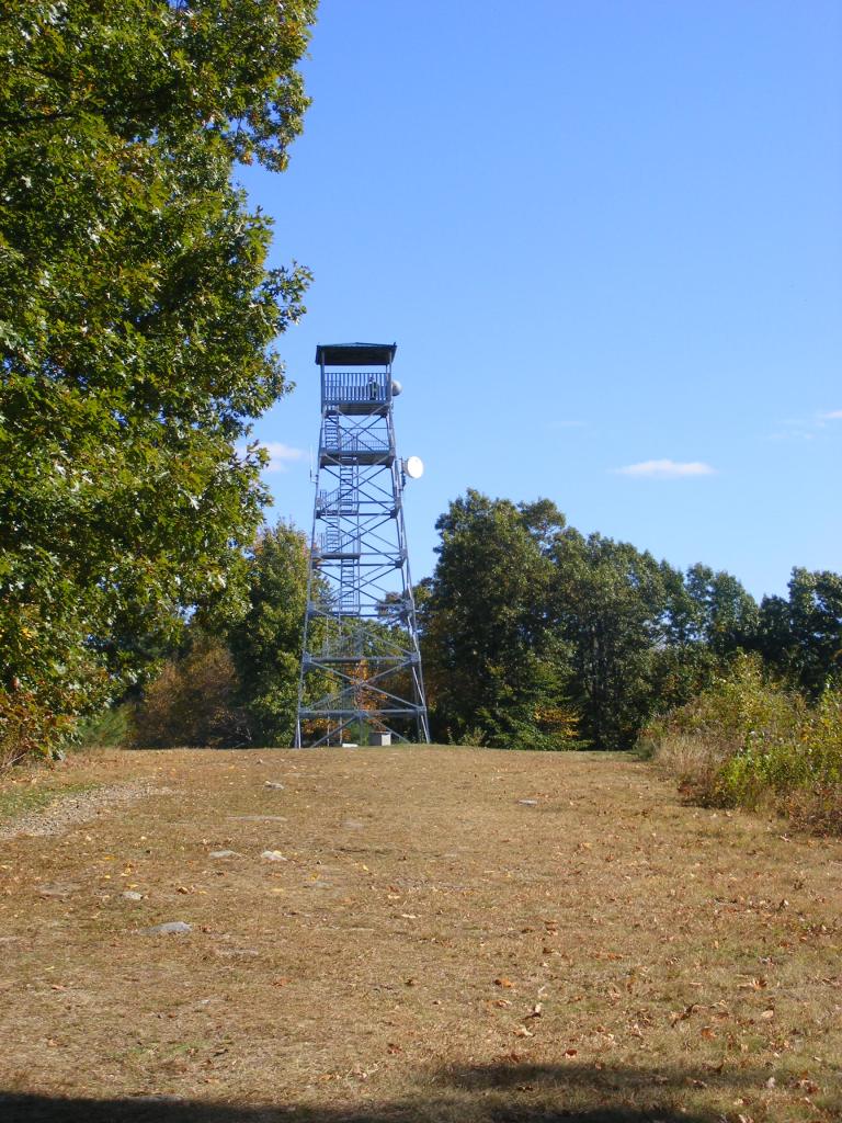
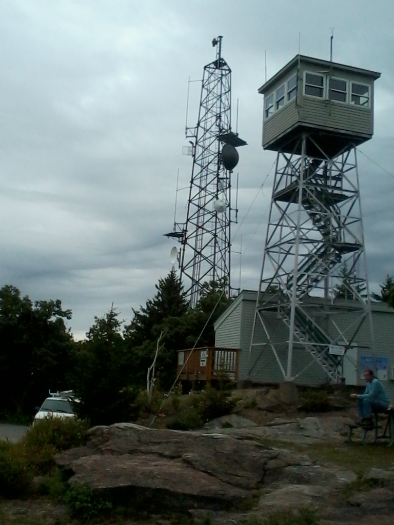
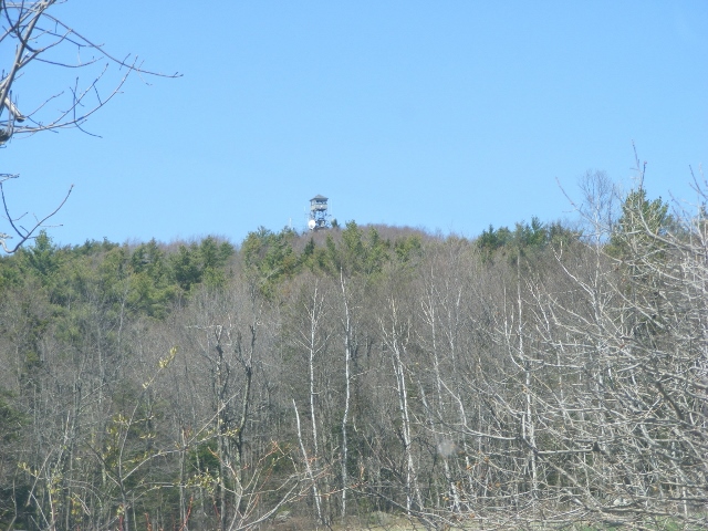
My last visit to Mt. Kearsarge in Warner, New Hampshire was a few years ago, as the fire tower was being rebuilt. I recently decided to go back for my first uphill walk since the virus-in-the-news laid me low earlier this year. From the upper end of the auto road in Rollins State Park, which is a treat in itself, I hiked the half-mile-long Rollins trail to the Kearsarge summit.

fire tower on Mount Kearsarge in Warner, New Hampshire, accessible from Rollins and Winslow State Parks. Photo by Ellen Kolb.
Mt. Kearsarge fire tower, Warner NH. Ellen Kolb photo.

It was a splendid morning at the end of August. A muggy summer heat wave had just broken, giving way to clear dry air and brisk breezes. As self-imposed rehab assignments go, this hike was unbeatable.

Summit cairn, Mt. Kearsarge. Ellen Kolb photo. Twin hills in far distance at left are the Uncanoonucs in Goffstown NH.

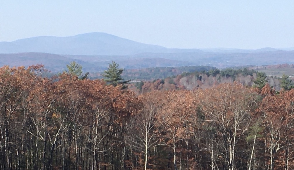
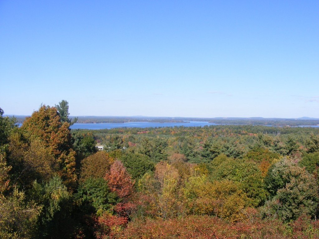
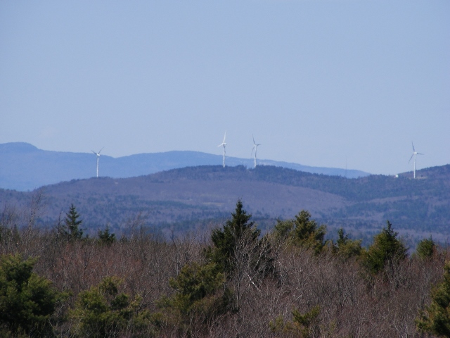
The hills and trails of southern New Hampshire spell home to me. I looked south from Kearsarge’s summit cairn and scanned the horizon: the Uncanoonucs in Goffstown, Joe English hill in New Boston, a view of the Wapack Range from the north – is that Crotched Mountain ski area nearby? – and aloof and stately Monadnock.

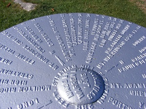
The ledgy summit features a 360 degree view, in case someone finds the view of the southern hills unsatisfactory. My advice is to soak it all in.

At $4, park admission is a bargain. See nhstateparks.org for up-to-date information on fees and maps for this and other state parks. Kearsarge is home to two of those parks. Rollins from the south features the auto road and a short hike; Winslow from the north offers longer trails. The Sunapee-Ragged-Kearsarge Greenway makes its way over the summit as well.

The auto road closes to motor-vehicle traffic in November and usually re-opens on Memorial Day weekend. I enjoy walking on the auto road in the off-season when the weather allows, sharing the road with other walkers and ambitious bicyclists. The summit is out of reach for the likes of me until the snow and ice are gone, but there are a few vistas along the auto road that make an uphill walk worthwhile.

Autumn walk to a fire tower

Take time for Oak Hill when you’re passing through New Hampshire’s capital city. Concord has many fine parks and trails, but only one includes a fire tower. The tower on Oak Hill was rebuilt not long ago, so it’s as shiny-and-new as you’ll ever find it. A hard frost or two has smacked down the local insects. Autumn colors are muted now, more gold-and-bronze than scarlet-and-yellow. Trees are losing their leaves, and so views are opening up. Wear something that’s blaze-orange; ’tis the season.

Find maps to all of Concord’s trails at concordnh.gov/1033/Hiking-Trails. Oak Hill is #12.

Oak Hill is exactly that: a hill covered with oak trees. It’s all a walk in the woods except for the fire tower and a couple of vistas (conveniently marked on the trail map). Follow the Tower Trail’s yellow blazes from the parking area on Shaker Road. Once at the tower, a climb to the landing just below the cab will reward you with a 360 degree view.

With apologies for my unsteady camera work: Oak Hill’s fire tower with one of the neighboring communication masts. All photos by Ellen Kolb/Granite State Walker.
Mount Kearsarge in Warner, seen from the Swope Slope vista on Oak Hill in Concord, New Hampshire.

Stratham Hill Park

The town of Stratham, New Hampshire keeps a decommissioned fire tower in use as an observation platform for anyone who takes the five-minute walk from the Stratham Park parking lot. It’s convenient for a quick stop anytime I’m heading over to Portsmouth or Rye via NH Route 33.

stratham-hill-tower

Stratham Hill Tower (all photos in this post by Ellen Kolb)

dscf3539-copy

This marker adorns a rock along the trail that leads to the tower. Phillips Exeter Academy is about six miles from the park.

stratham-hill-3-copy

At the base of the tower is a large circular marker naming the hills and mountains visible in the distance.

dscf8391

Looking toward Portsmouth.

dscf3544_stitch

A panoramic view, with Great Bay visible at left.

Pack Monadnock via Raymond Trail

The view from Pack Monadnock’s summit was a treat even on this cloudy day. I hiked up via the Raymond Trail for the first time. The score is Ledge 1, Hiker 0 after a slight slip on the way down, and I keep a first aid kit in my pack for just such occasions. The hike was otherwise uneventful. Rocky stretches, but not as ledgy as the Wapack Trail up the mountain. Unlike the Wapack and Marion Davis trails, Raymond Trail doesn’t start from the Miller State Park parking lot. It goes up the west side of the mountain from a trailhead on East Mountain Road that has parking for three cars (maybe four in a pinch).

Coming from Manchester via NH 101: drive west through Milford, Wilton, and Temple. Take a right at Mountain Road, about 0.2 mile past the Miller State Park entrance. Mountain Road becomes East Mountain Road. The trailhead is on the right, about a mile off of 101.

Pitcher Mountain fire tower

When was the last time I got to one of New Hampshire’s fire towers? Was it Kearsarge or Pawtuckaway? It’s been awhile, at any rate. The other day, everything came together for another tower expedition: perfect weather, access to a car, and an afternoon to myself. I took a beautiful drive to Stoddard for a visit to Pitcher Mountain. It’s not much of a hike – only ten or fifteen minutes from parking lot to tower. The 360º views are splendid, though, and the drive was a treat. Dozens of miles on roads with no traffic signals and not a single Dunkin’ Donuts in sight: how’s that for a Sunday drive?

Pitcher Mountain fire tower, Stoddard NH

Pitcher Mountain fire tower, Stoddard NH

I couldn’t miss the small parking lot on Route 123 on Stoddard. There’s a sign, but there’s also a view of the tower from the road.

First peek at the tower, approaching from the east on Rt. 123.

First peek at the tower, approaching from the east on Rt. 123.

The walk uphill  from the parking lot through woods suddenly opens up to a field with a fine view of Monadnock to the south.

Mt. Monadnock in the distance, seen from the path to the Pitcher Mountain fire tower.

Mt. Monadnock in the distance, seen from the path to the Pitcher Mountain fire tower.

From the tower, there was a full panorama on a nearly cloudless day. Monadnock is the most prominent feature, but plenty of other peaks are visible as well. I had the second edition of Hiking the Monadnock Region (a fine guidebook by Joe Adamowicz) to help me identify some of them.

Wind farm in Lempster, seen from the fire tower

Wind farm in Lempster, seen from the fire tower

For more about New Hampshire fire towers:

One of the most interesting local publications in my collection is a little orange booklet called A Field Guide to New Hampshire Firetowers by Iris W. Baird and Chris Haartz (2002).  Look for used copies online. The booklet includes a short history of all the currently operating towers in the state, along with notes on other towers that are still standing but have been decommissioned.

The New Hampshire Division of Forests and Lands has a web page, including information on the Tower Quest program: visit five fire towers to earn a patch. Fun for kids. I admit I have one of those patches myself.