This year’s sweet spot for spring hiking, after the mud and before the bugs and pollen, has lasted longer than usual in southern New Hampshire. It’s an auspicious beginning to a project I’ve started: walking across the southern tier of the state along as many familiar trails as I can, from the Connecticut River to the Atlantic Ocean.
My situation rules out doing the whole thing with one long push. Instead, I’ll do a series of dayhikes as my schedule permits, each one out-and-back, and not strictly in west-to-east order. I recently headed to New Hampshire’s southwestern corner to get started.
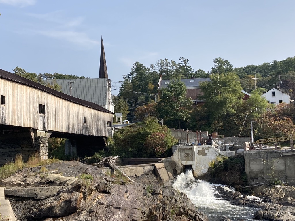
Two rivers and a covered bridge
I took advantage of the recent benign weather to spend two fine days on the Fort Hill and Ashuelot Rail Trails in the towns of Hinsdale and Winchester. My private little ceremony to launch the cross-state walk consisted of taking the Fort Hill rail trail to a boat launch where I scooped up a little vial of Connecticut River water. I’ll empty it into the Atlantic when I reach the Seacoast, some weeks hence.
My route included town roads as well as the unpaved rail trails. From the Fort Hill trail, I walked into central Hinsdale via quiet Prospect Street. Once I reached Main Street (NH Route 119), I walked a short distance east to Depot Street, where I picked up the Ashuelot trail eastbound.
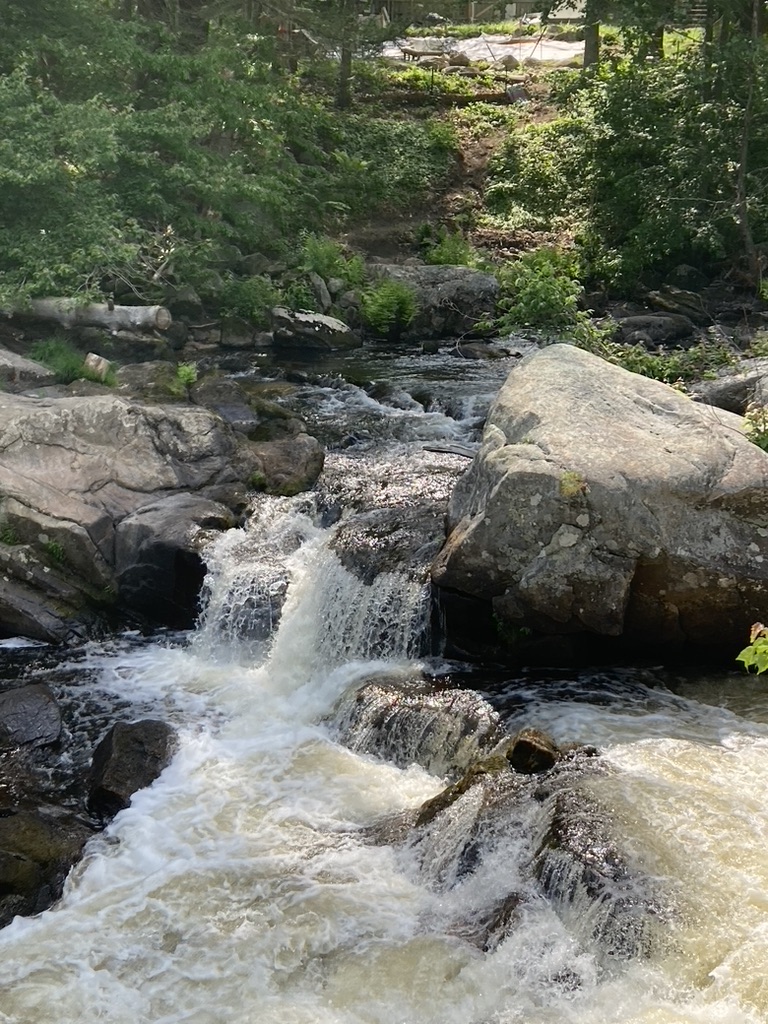
Before long I came to a spot that appeared to be recently repaired from a washout. Based on information on the state parks website, the Pisgah Mountain Trail Riders are responsible for that restoration. The Ashuelot trail took a violent hit from flooding in July 2023, and perhaps this was where some of the damage had occurred. In fact, the trail’s Swanzey section is still closed as of April 2026, awaiting repair of the three northernmost washouts.
(By the way – snowmobile clubs like the Trail Riders provide an outsized amount of rail trail maintenance. I’ve made modest donations to a club that maintains a trail close to home, even though I’m not a snowmobiler. I encourage other walkers and cyclists to do likewise.)
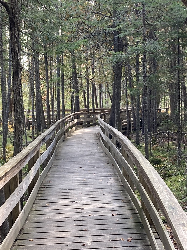
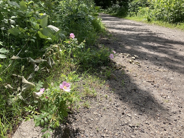
Where I walked, both trails were in remarkably good shape. I wondered if I’d find mud – and if I had, I would have swallowed hard and shifted over to NH 119 – but the trail surfaces were firm and well-drained. A few ruts on the Ashuelot trail showed that at least one local cyclist hadn’t been able to resist riding during mud season, but the trail scars were minimal. Vegetation was just waking up from winter, and no grasses or ground covers encroached on the wide paths.
While I had company on the Fort Hill trail, I experienced unexpected solitude on the Ashuelot trail. I was there midweek; would a weekend have been different?
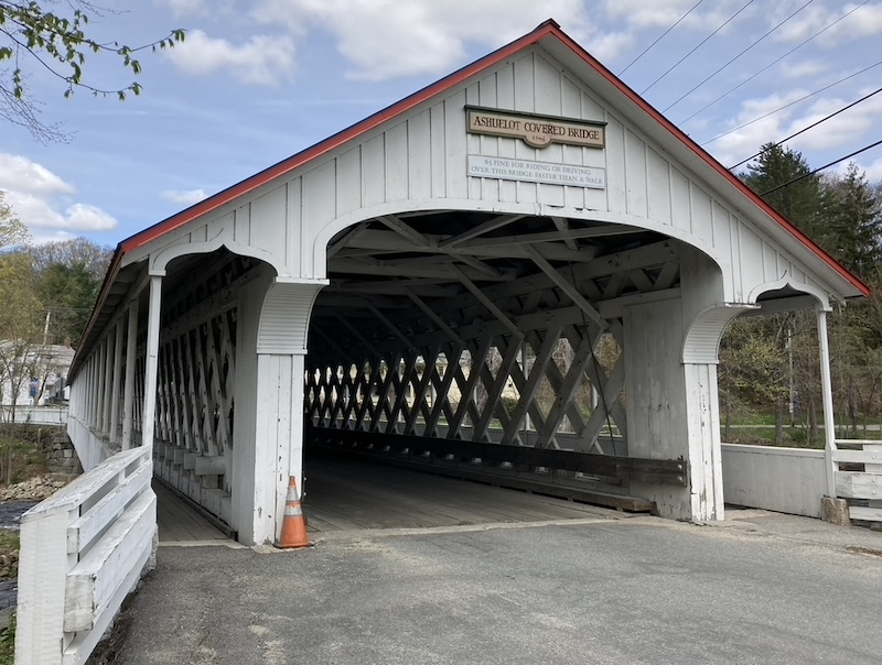
I turned around at the Ashuelot covered bridge and walked back to Hinsdale where I’d left my car. It was a decent workout, even at my easygoing pace.
“Need a ride?”
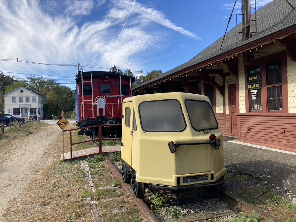
The next day, I parked downtown near Winchester’s town offices. “Downtown” seems a grand word to use about a municipality with 4200 residents, but the area had two traffic lights as well as commercial and municipal buildings, so downtown it is.
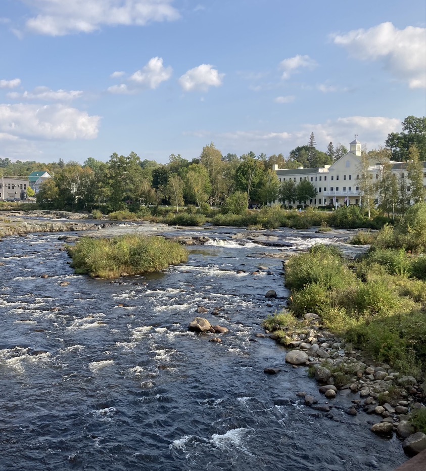
The Ashuelot trail north of the town center feels different from the section closer to Hinsdale. It’s more open in spots, sandier but still well-surfaced. It’s closer to homes. It criss-crosses Old Westport Road, and I hopscotched between trail and road to stay close to the river with its pleasant views. Traffic on nearby NH Route 10 could be heard but for the most part not seen. I turned around before the trail crossed NH 10; further on is Swanzey, a destination for another day.
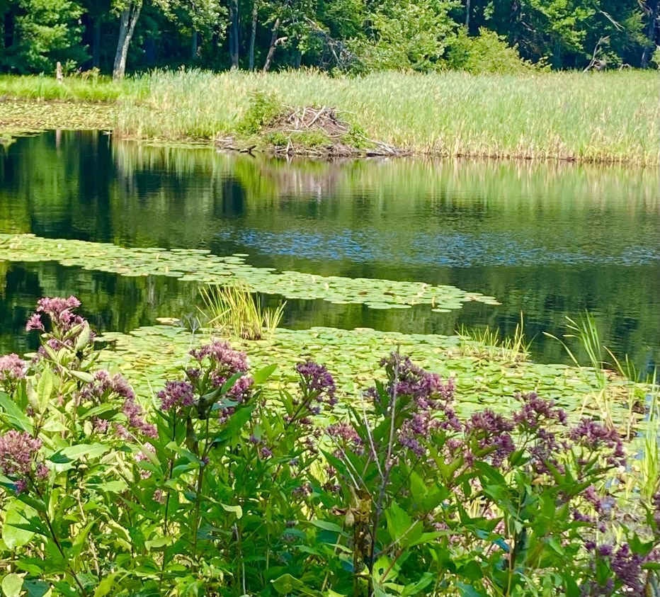
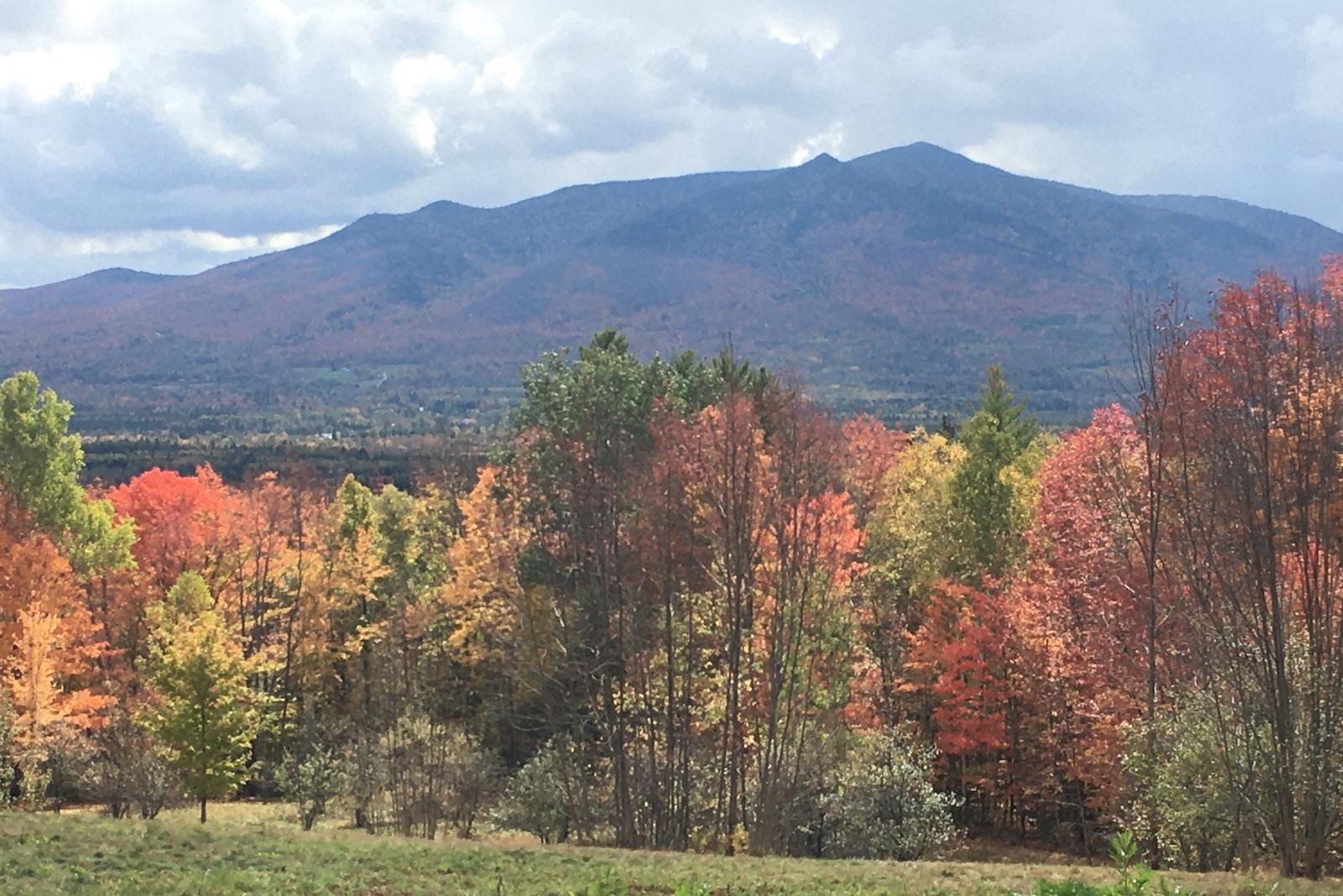
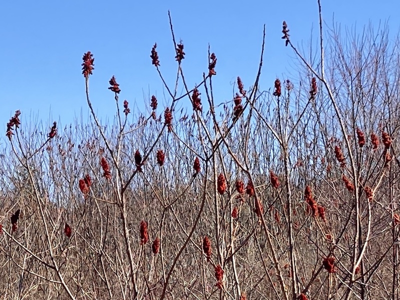
The red fruits of staghorn sumac shrubs were the brightest things in sight amid so much leafless vegetation. Spring will soon have every plant in sight bursting with fresh growth.
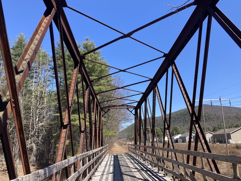
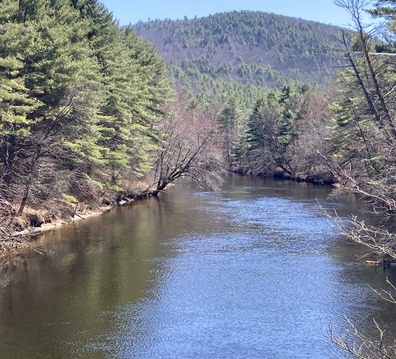
I took a break at a snowmobile bridge carrying the trail across the slow-flowing Ashuelot River, enjoying a serene view along with my snack. A lone bicyclist was the only other trail user in sight.
At one point as I walked along Old Westport Road, I heard a car behind me slowing down. I turned around to see what was up, and the car stopped beside me, with a worried-looking driver at the wheel. Was I okay? Did I need a ride? I assured him that I did not, as I wondered how awful I must have looked to elicit such concern. “I had to check,” he said with a look of relief. “If I didn’t, my mom would kick my butt.” I realized then that it was only my age, shouted to the world by my silver hair, that made him stop. God bless him.
I love living and walking where people care enough to check up on each other. At the same time, we need more baby boomers on the loose in the great outdoors, so our younger neighbors won’t be so surprised to see us. I’m doing my part.
About the area
An excellent map and guide to rail trails in southwestern New Hampshire is available from the Monadnock Rail Trail Collaborative. Their website includes an online map. Contact that agency directly about availability of printed maps.
Parking is limited along the Fort Hill and Ashuelot trails. Along the sections I visited on this trip, I found parking in Hinsdale at the boat launch on Prospect Street and Millstream Riverfront Park on Main Street (NH 119). In Winchester, I parked in the town hall lot, a block or so away from the trail via Elm Street.
Public restrooms were scarce on this route, and I didn’t find (or expect) portajohns along the way. Facilities are available in Walmart (north end of Hinsdale, almost at the Vermont border) and at a gas station/Dunkins at the southern NH 10/119 intersection in Winchester.
There are restaurants and convenience stores in the town centers.
I’ll use “Across NH 2026” as a tag on this and future posts about my across-state project, so interested readers can search the blog quickly.