Golden Time in New Hampshire

As Octobers go, this one has been a beauty in my corner of New Hampshire. We’re in that annual golden time, post-bugs and pre-ice. Literally golden, too. The trees are glowing.

rail trail in autumn
October on Nashua River Rail Trail. All photos by Ellen Kolb.

 Pulpit Brook Trail, Bedford and Amherst

I hadn’t visited Bedford’s Pulpit Rock conservation area in years. A recent mailing from the Bedford Land Trust advised me that the Pulpit Brook trail from that property now extends into Amherst and the Joppa Hill farm. When I compare a newer map of the Pulpit Rock area to my old map from 1997, it’s striking to see how much the conservation area has been expanded with the cooperation of area landowners. I like seeing a greenway linking towns.

autumn leaves
Mid-October: some leaves are just starting to turn.

Silver Mountain, Lempster

The Forest Society’s Five Hikes in Five Weeks program led me to this unassuming little hill with fine autumn views. The drive in was a little hairy: Lempster Mountain Road is paved and fine, and from there South Road is unpaved and sort-of fine, until it isn’t. The last few tenths of a mile of road before the trailhead feature a single lane with deep ruts. It must be all kinds of fun in mud season. At least it’s dead-flat.

But after a couple of minutes of bouncing along…what’s this? A parking area with decorative stone posts. On a dirt road in Sullivan County, no less.

From the parking area, the woodsy walk up to the open summit of Silver Mountain is easy.

berries on hilltop, autumn in NH
Autumn on Silver Mountain, Lempster NH
Silver Mountain summit cairn NH
Silver Mountain summit cairn; Vermont’s Mt. Ascutney in the distance at right

Kidder Mountain, New Ipswich

Here’s another spot I hadn’t visited in ages, just off the Wapack Trail. I had hiked up to Kidder with my son about fifteen years ago, and I recalled it as another one of those easy hills with great views (like Silver Mountain, come to think of it). I’m sorry I waited so long to come back.

The summit vegetation has grown in over the past few years, but the views to the south and southeast are still satisfying. There’s a great view of the southern Wapack Range from Barrett Mountain to Mt. Watatic.

southern Wapack Range
Southern Wapack Range seen from Kidder Mountain, New Ipswich NH

On my recent visit, I shared the summit with a young family. One of the children was a boy, maybe five years old. He surveyed the Wapack Range, and announced excitedly, “I see a volcano!” His dad took the news calmly. The boy wanted a livelier response. “I see lava!” At that point, I thought okay, I’ve got to see what this is about.
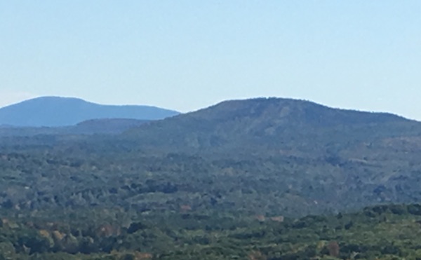
Mt. Watatic
At right: Mt. Watatic, faintly marked with old ski trails that spark the imagination.

I moved a little closer to see what the boy was pointing at. It was little Mt. Watatic just across the border in Massachusetts. It had a ski area long ago, and there are still faintly-discernible ski trails. To a five-year-old, those old trails looked like lava flows. I hope I never forget the look on that little boy’s face as he watched Mt. Watatic expectantly, hoping against hope that it would blow its top and show those Monadnocks who’s boss.

Sometimes the best part of a hike isn’t the hike.

Ice storm recovery

The December 2008 ice storm in southern New Hampshire, now four months past, has become a reference point for all my observations of southern NH trails this spring. I recently visited Miller State Park and Pack Monadnock to see how recovery is going.

I can’t begin to speculate on how many people it has taken to return trails around here to usable condition. The auto road, still gated to keep cars out, is clear all the way to the summit. The road sports a new edging of wood chips and sawdust from all the overhangs and broken limbs cleared from ice-damaged trees.

park road lined with ice-damaged trees
Auto road at Miller State Park, Peterborough, NH, showing tree damage from ice storm.

The lower end of the auto road is now clear, with deadfall and snapped tree limbs piled at the road’s edges. Hardwoods predominate at the base of the mountain, and they took the brunt of the storm damage. The destruction must have seemed overwhelming to the first people who came by to check it out just after the storm. The cleared road testifies to a lot of effort since then. Even so, I was stunned for a few minutes when I got out of my car and had my first look around.

The few other cars in the lot when I arrived belonged to members of a trail-clearing party of Friends of the Wapack. The group’s web site says that there will be a work party somewhere along the trail every weekend this season, and this must have been Pack Monadnock’s turn. I heard a chainsaw being used in the woods off to my left as I descended from the summit later in the morning.

I decided to walk up the auto road, wondering just how blocked the Wapack and Marion Davis trails must be. I brought my camera in the hope of seeing some wildflowers growing low to the ground, but there has been way too much cleanup activity along the road to allow anything to sprout along the edges. I don’t doubt that there are plenty of flowers farther from the road and along the trails. I did see lots of buds on trees and shrubs, reminders that the forest will recover as it always does after one of Nature’s big events. One tree had lost its two main limbs and looked pretty sorry, but that didn’t stop a bird from working on a good-sized nest in one of the branches that was left.

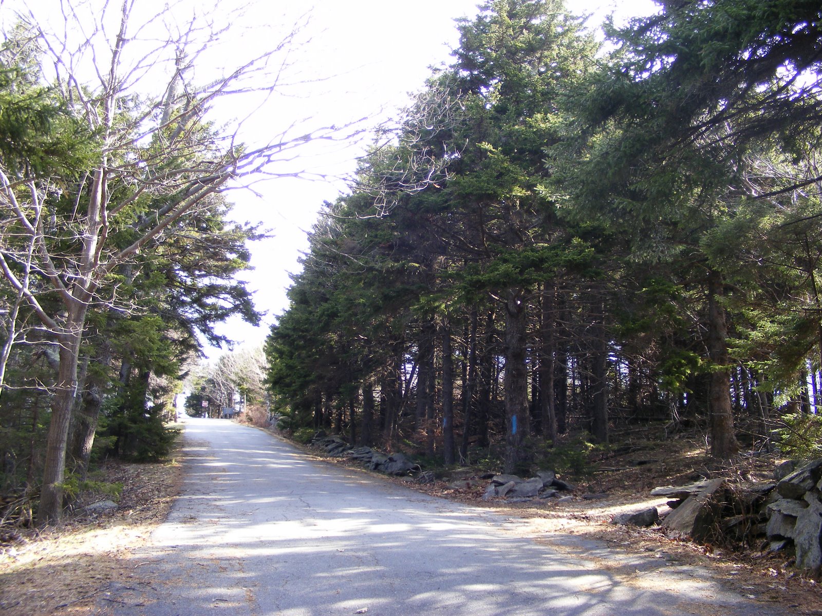
The road’s a mile & a quarter long, and it rises 700 feet. Towards the summit, where evergreens take over from the oaks & maples & birches, there is much less tree damage. The evergreens seem to have shrugged off the ice and bounced right back. The last few hundred yards of the road have blue blazes on nearby trees, and that made me wonder if the Marion Davis trail has been re-routed for a distance.

auto road at Miller State Park, New Hampshire, with evergreen trees lining the road
Miller State Park auto road: evergreens near the summit weathered the ice storm much better than the hardwoods at Pack Monadnock’s base.

The summit, without summer crowds, was a fine place to be. The view of Monadnock always pleases me, even on a hazy day. The cool morning was giving way to an 80+ degree afternoon, with a brisk breeze up on the landing of the fire tower. I later perched on a picnic table with my water bottle, looking over towards North Pack in its shades of green & grey. Close up, the woods show damage. From a distance, they look like they’ll be around long after I’m gone, which of course is exactly the case.

When I was here last fall, New Hampshire Audubon had volunteers at its raptor observatory near the summit, identifying birds in the fall migration. I was lucky enough to catch sight of a golden eagle that day. This weekend was different, with migration season long past. There wasn’t so much as a turkey vulture soaring overhead. I settled for chickadees in the woods.

One Subaru – or more precisely, one Subaru’s driver – drove around the closed gate to the auto road, surprising me on my way up. Aside from that, I had very little company: a half dozen dog walkers, one intrepid bicyclist, a lone runner. I was therefore unprepared for the sight in the parking lot when I finally got back down a little past 11 a.m.: more than 40 cars, with more coming in by the minute. That suggested to me that the Wapack Trail up the mountain must be in fine shape, since all the people from those cars had to be somewhere, and they weren’t on the auto road.

The ice storm left scars on the land, but recovery is underway. I’m grateful to all the volunteers whose work is bringing the trails back to life.

Temple’s piece of the Wapack Trail

Temple Mountain, a ridge rather than a single peak, is a feature of the 21-mile long Wapack Trail between Ashburnham MA and Greenfield NH. It’s a great location for a dayhike when nearby Miller State Park and Pack Monadnock are crowded, which is often the case on weekends and holidays. I recently parked in the marked lot on NH Route 101 across from Miller State Park, and started walking south. I kept my eyes open for blazes that would guide me away from Temple’s old ski trails and keep me on the hiking trail.

The walk south to Temple Ledges was pleasant. There are few vistas on this stretch, so all the folks wanting to see the countryside ought to go to just about any other peak on the northern part of the Wapack except this one. Lots of birds — including what I think was a bobwhite, which I had seen before only in books! A bird’s a little thing, but I was delighted anyway. I encountered about ten other folks enjoying the day, all (even their dogs) sensibly dressed with something orange in this hunting season. Woods, stone walls, a group of cairns that could pass for a living room grouping, plenty of birdsong: not a bad way to spend two hours. This is not the place to wear sneakers, by the way. The approach to the ledges isn’t all that steep, but within a few days of any kind of rain, there is mud. You’ll get fair warning of that as you splash your way through the parking lot.

The Wapack Range stretches to the south, with the ridge of Temple Mountain in foreground.