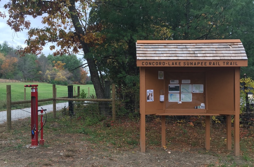
I drove down Depot Road in East Candia a little slowly, wondering if I’d be able to find the parking lot where the Rockingham Rail Trail crosses the street. I needn’t have worried; the nearly-full lot was impossible to miss. I tucked my car into one of the few open spots.

The lot was a busy place. Couples and singles and families were taking bikes off car racks or putting them back on. Hikers were setting out, many sporting seasonal blaze orange vests. It was as warm a day as November ever brings, and everyone wanted to take advantage.
Pick a direction: should I go east into Raymond, or west through Candia? Seeing several parties setting off to the east, I wished them well, and then turned my back to them to walk west.
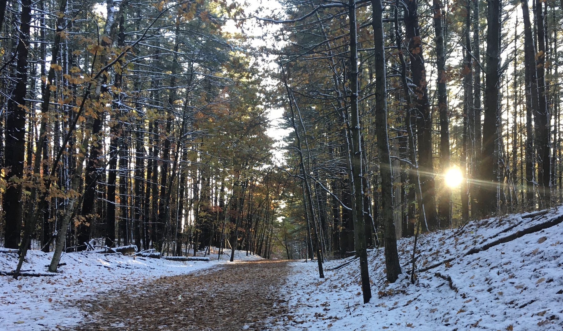
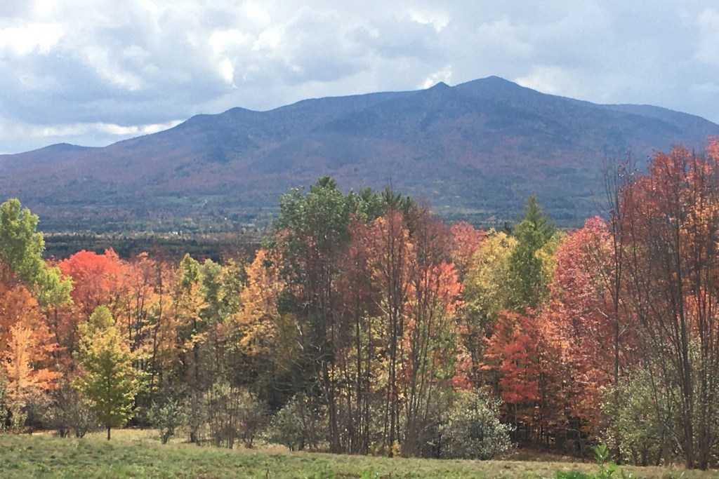
The Rockingham Rail Trail between Manchester and Newfields is more than 20 miles long, making it one of the longer New Hampshire rail trails. It’s a piece-at-a-time endeavor for a walker. I picked a winner of a day to amble out-and-back on a three-mile segment in Candia.
Temp in the 60s: what kind of November is this? Sunshine, few clouds, air as dry as could be.
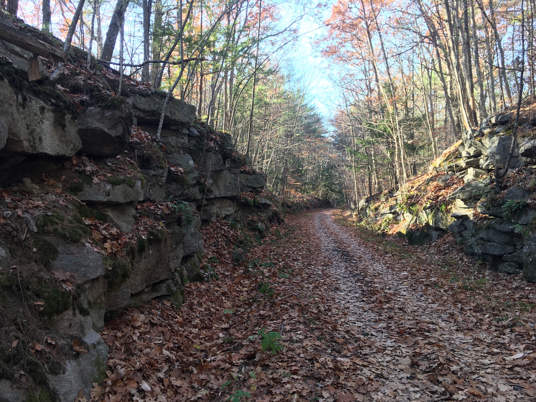
There were more bicyclists than walkers on the trail. That didn’t mean walkers were overwhelmed; traffic was light to moderate. The few walkers kept their cheerful distance as we passed each other with smiles and nods – you stay on your side and I’ll stay on mine, we seemed to be saying.
Where houses were visible as I approached Main Street, the sounds and smells of a sunny late-autumn weekend took over: raking, leaf-blowing, the last round of mowing for the season, a carefully-tended fire to burn the clippings.
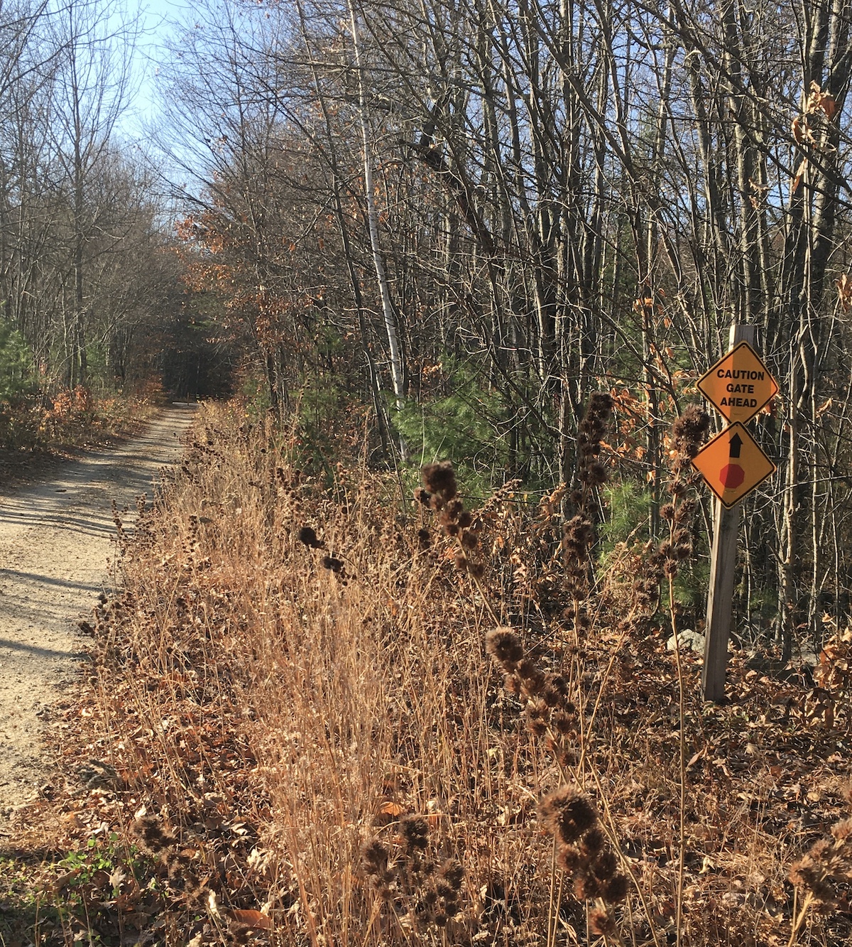
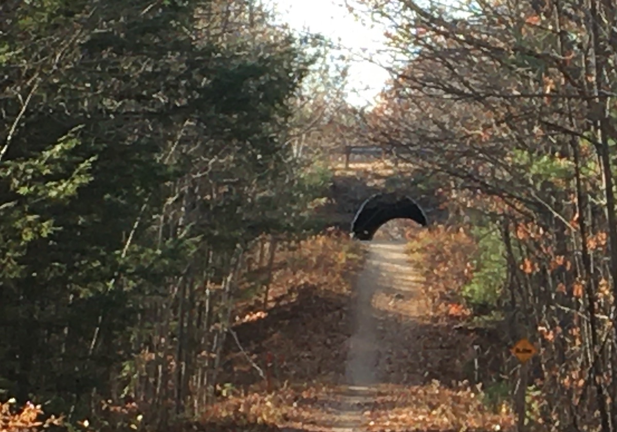
My turnaround point was Route 43, or more precisely the tunnel under the ramp linking 43 with Route 101. The parking lot in East Candia was nearly deserted when I returned. I decided to spend a little time walking toward Raymond, but I was racing the sunset: after half a mile, I returned to my car.
I think I saw the trail at its most inviting for walkers. Once the snow flies and piles up, the Rockingham Rail Trail will become a snowmobile corridor. Until then, all you need there is your bike or your walking shoes.