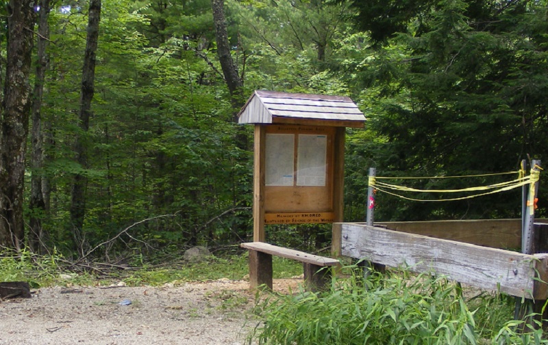
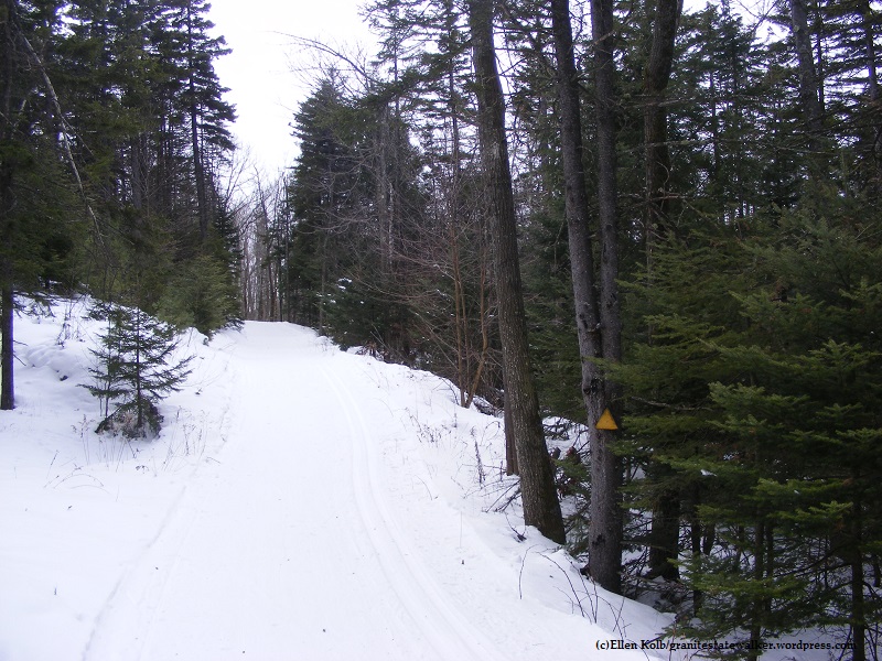
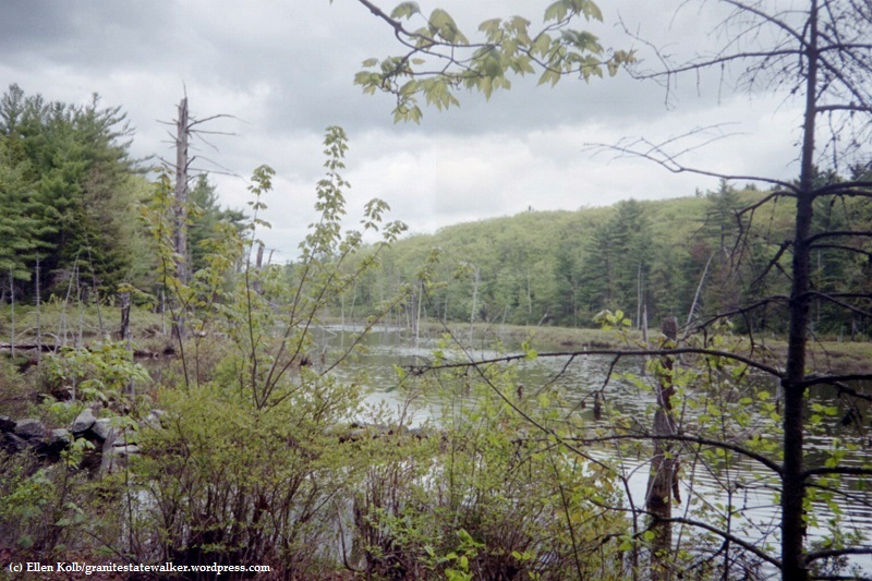
New Hampshire enjoyed benign weather on New Year’s Day, perfect for a First Day Hike. I headed to Bristol, home of Wellington State Park and the Elwell Trail. No snowshoes needed; the trail was well-packed. Gravity got the best of me a few times despite the YakTrax on my boots, but I fell gently thanks to the snow cover. About sixteen of us were led up the trail by a guide from the Newfound Lake Region Association.

Our destination was Little Sugarloaf, a modest peak about a mile and a half from the Wellington parking lot. There were plenty of hikers on the hiking trails and snowmobilers on the snowmobile trails, with cooperation and good cheer all around.
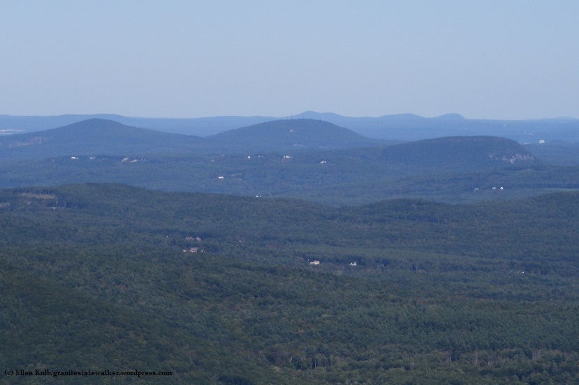
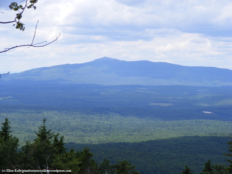
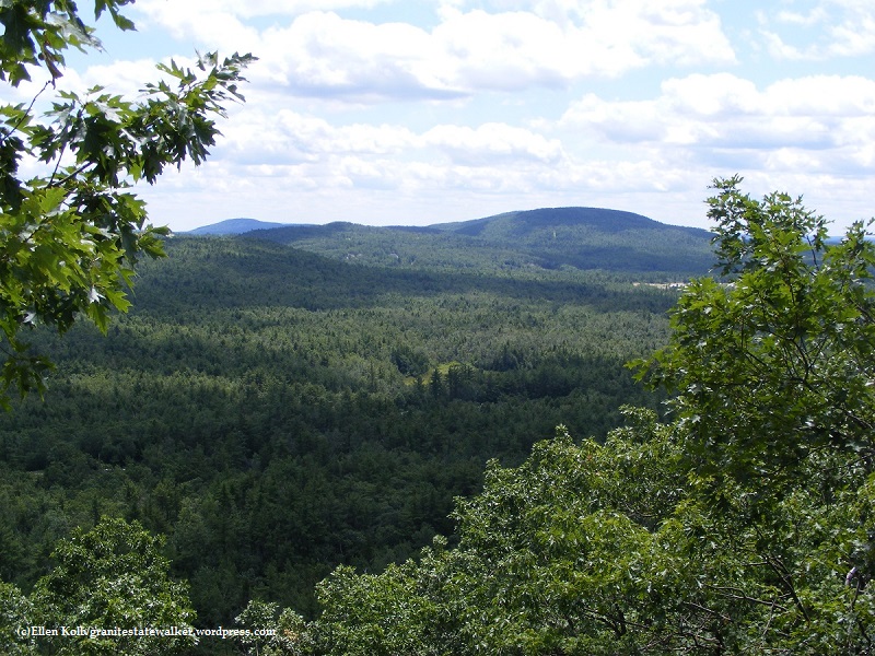
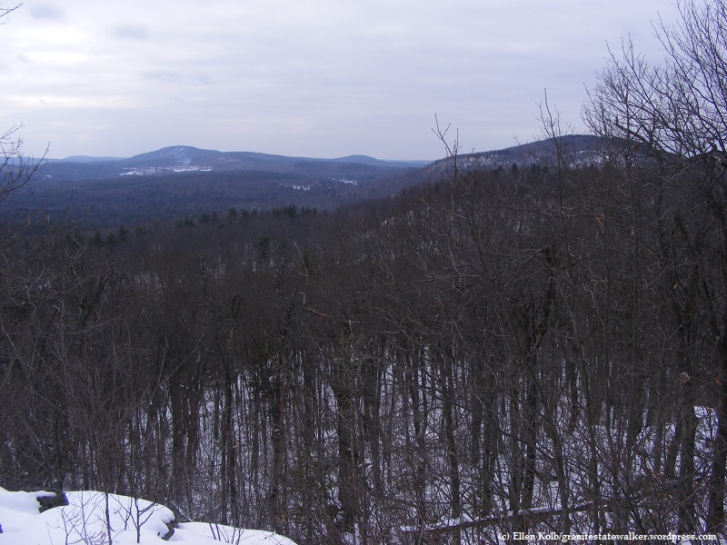
The payoff view: Newfound Lake on a clear and sunny day, with ideal sights and sounds. We watched a pair of bald eagles fly around the islands below us. The snowy peaks of Franconia Notch about 40 miles away were visible. I knew there were snowmobiles all over the lower trails, but I could barely hear them from Little Sugarloaf’s summit.
A few of my more ambitious companions decided to hike on to Sugarloaf, a few hundred feet higher. I might check that out some autumn day.
Find maps of the area at newfoundlake.org.