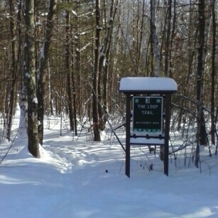
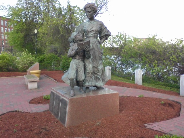
My favorite river walk in Nashua, New Hampshire, is the unpaved trail along the Nashua River in Mine Falls Park. I give credit to the city anyway for efforts to create an official “Riverwalk” linking Mine Falls and the area behind the old mills east of Main Street. One feature along the way is the city’s tribute to the early-20th-century French-Canadian mill workers.
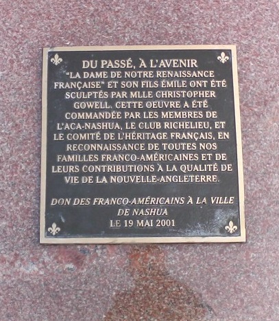
Parc de Notre Renaissance Francais is tucked into a parking lot just off Main Street, between Water Street and the river. Along with the millworker statue are several plaques offering some information about the influence French-Canadian immigrants have had on Nashua’s industrial and cultural history.
If you’ve never seen this nearly-hidden bit of art and history, take a few minutes to visit it when you’re in town for the Nashua Holiday Stroll on the Saturday of Thanksgiving weekend.
All photos in this post by Ellen Kolb.


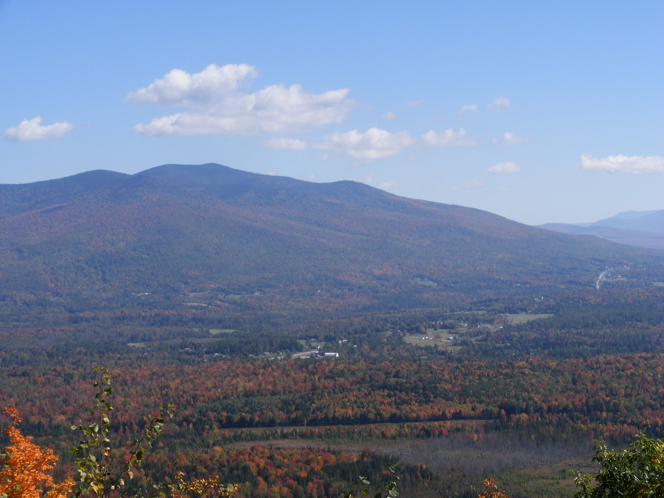
Behind the park is the Nashua River and the brick buildings that were once textile mills. Today, the buildings are in residential and commercial use.