After a COVID-influenced year of curtailing my activities, I’m keeping some appointments that don’t involve videoconferencing. One benefit to out-of-town drives is that I’ve been able to check out new trails. On one day I had just enough spare time to sample the Winnipesaukee River Trail in Tilton. Another day, during a Seacoast trip, I enjoyed a tripleheader of varied paths. A more routine errand to the Manchester Airport gave me an excuse to see how the Londonderry Trail looks in spring.
Winnipesaukee River Trail
This is not to be confused with the Winni Trail, where the “Winni” stands for “Winnisquam.” The Winnipesaukee River Trail may someday connect with Winni, though, if several links are developed. Like Winni, the Tilton segment is rail-with-trail.
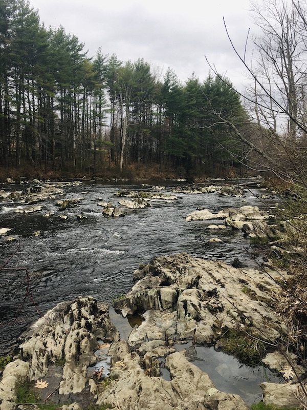
The Winnipesaukee River Trail goes from Franklin to Tilton via Northfield, with a little bit of road walking included. I recently visited the easternmost mile. Parallel and very close to U.S. 3, the path is surprisingly quiet, shielded by a row of buildings from some of the traffic noise. The river was pretty but quiet due to lack of rainfall; a depth indicator painted on a bridge abutment was well above the current water level.
A lengthier visit extending to Franklin would have been more rewarding, but my time was limited. I enjoyed a peaceful half-hour along the river. My turnaround point was startling, after the quiet walk: the commercial cluster by exit 20 on I-93. Had I wanted a snack, that would have been a place to consider, with the trail’s terminus flanked by fast-food places. My starting point had some options as well, with U.S. 3 serving as Tilton’s Main Street.
The Winnipesaukee River joins the Pemigewasset River in Franklin to form the Merrimack, the waterway that defines south-central New Hampshire.
Rochester and Dover
I rarely get to Strafford County. When I did earlier this month, I visited three very different trails.
The Farmington Rail Trail extends from the town of Farmington to the city of Rochester near Spaulding High School, roughly paralleling NH Route 11. I had been warned that it was sandy enough to leave even fat-tire bicyclists in despair. Being a walker, I dismissed that concern. Silly me. It was like walking on a beach, giving my legs more of a workout than I’d bargained for. I probably needed that anyway.
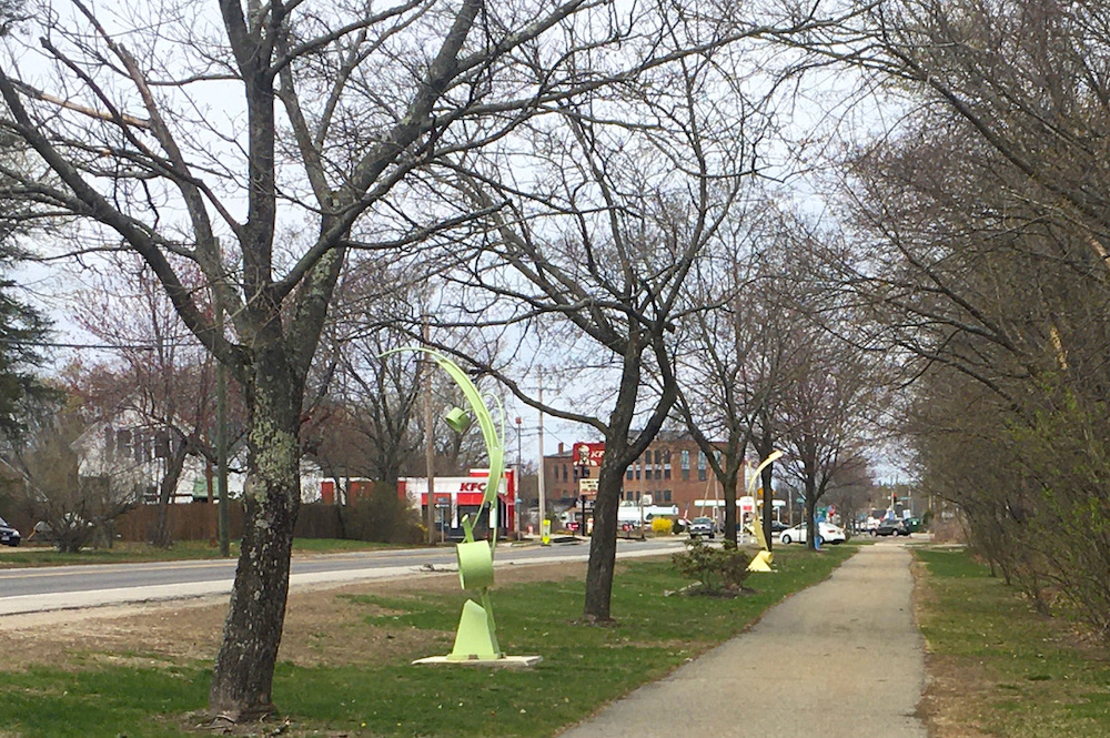
Next stop: the Lilac City Greenway, short and sweet. The northern portion of it runs along Rochester’s main drag, serving as a sidewalk. It’s paved, nicely landscaped for spring, and adorned with abstract sculptures. I benefited from a combination of Charles Martin’s guidebook and Google Maps, which warned me that the municipal parking lot close to the greenway is accessible only to northbound traffic on Route 125.
Then, south to Dover. Without realizing it, I’d saved the best for last. The Dover Community Trail, developed relatively recently, was wide and quietly scenic. I parked at the western end, at the Watson Road trailhead. The fairly large parking lot (room for about 20 cars) was nearly full when I arrived at midday on a workday. Even so, there was no sense of crowding on the wide, well-packed trail that extends about three miles to the center of Dover.
The Cocheco River flowed alongside the trail, and several anglers in hip waders were trying their luck. I was passed by a few lunch-hour runners, and in turn I passed a few easygoing dog walkers. My map told me that offices for county government and a large insurance company were nearby, but they were completely out of sight and sound, built on higher ground.
I’m sure the downtown end of the trail has a much livelier character. I wasn’t looking for lively that day. The Watson Road trailhead was the right place for me to start my walk.
Londonderry
Here’s a familiar destination for me: Londonderry Rail Trail from the Harvey Road/Airport trailhead. What did it look like on a drizzly spring morning? Delightful. A film of pollen glazed portions of Cohas Brook reservoir, but the trees in flower looked so good that I didn’t mind all the allergens floating around.
There are plenty of “destination” trails in New Hampshire worth a full day’s exploration, but I value quick trail stops, too. They can give a busy day a special kind of spark.


