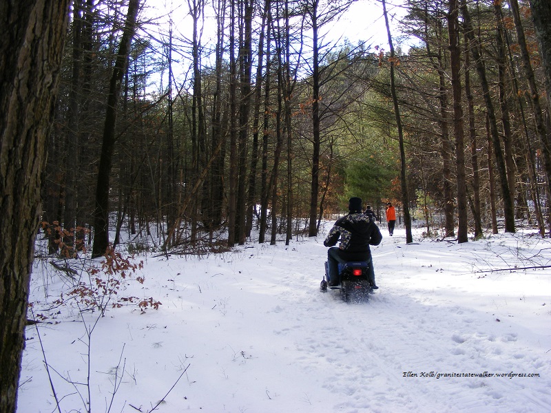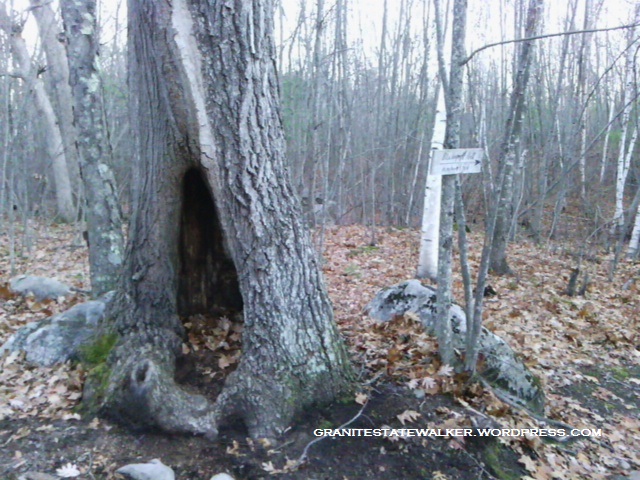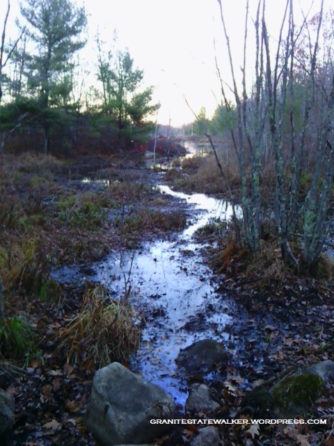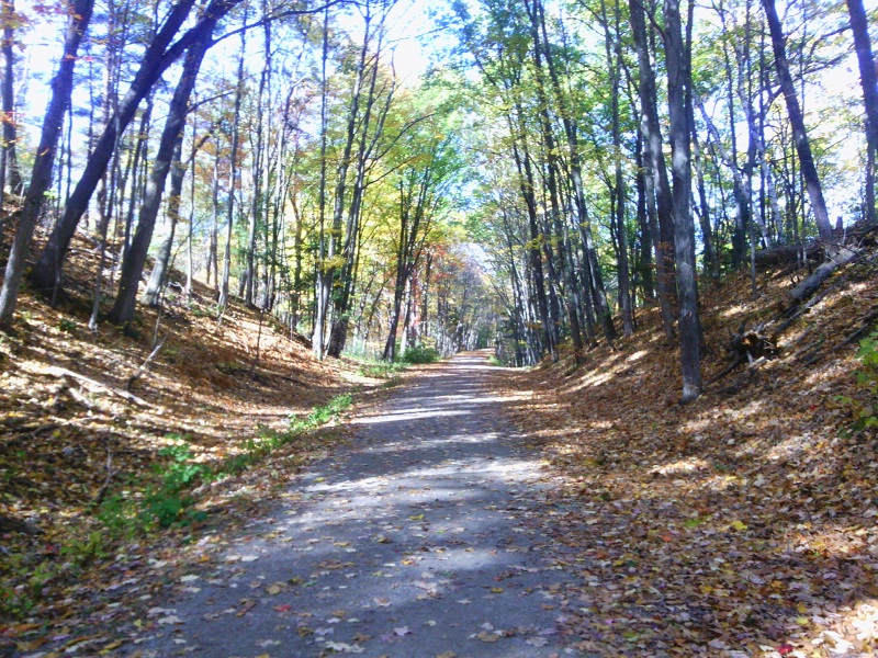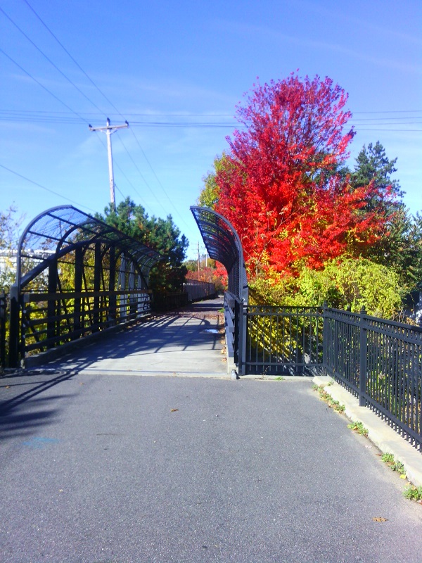
The snowless days are ending; I’ll be shoveling my driveway in just a few days, if the forecast holds. This was my last chance to visit some nearby trails before winter conditions set in. I had planned to walk up a hill with a pretty view, but decided at the last minute to stick to level paths. I went to Pawtuckaway State Park and explored the northwest corner of the park via Reservation Road and Round Pond Road.
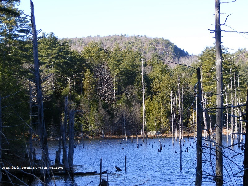
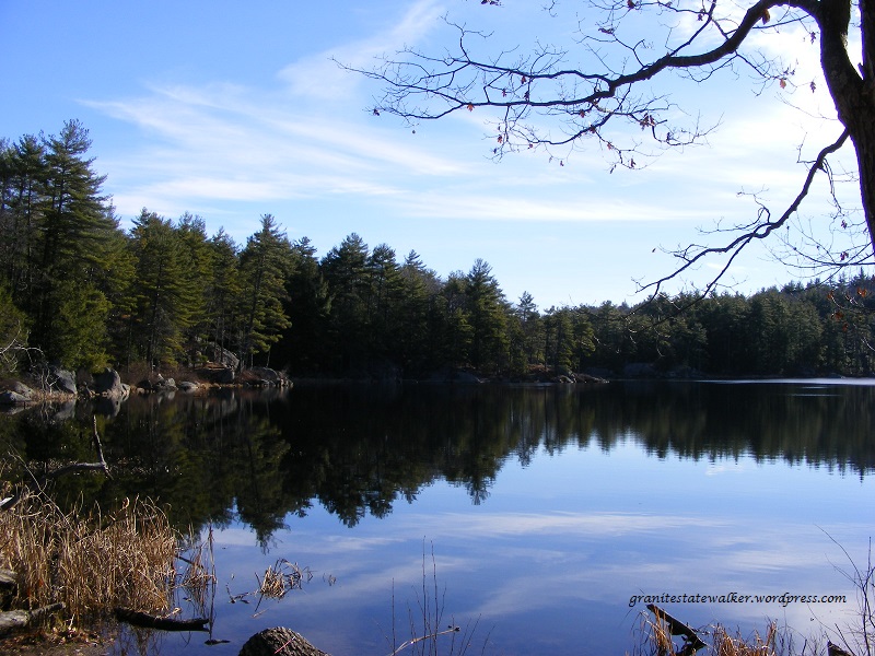
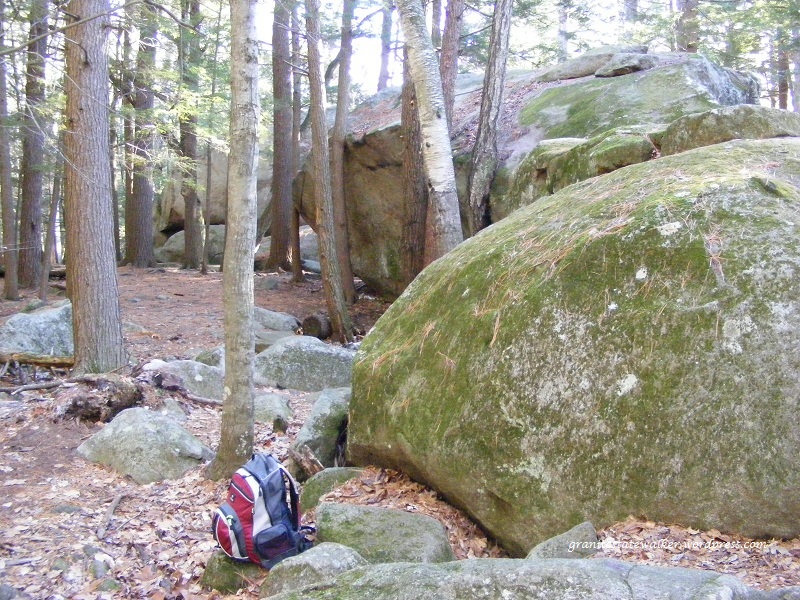
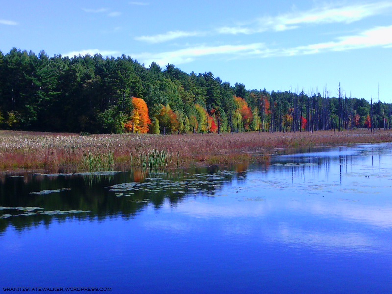
North Mountain seen from Round Pond Road. This must be a wonderful birding spot at dawn and dusk. All photos by Ellen Kolb.Round Pond, harshly lit on a brilliant sunny day. The pond is about two and a half miles from where I parked on Reservation Road.A side trail from Round Pond Road leads to the Boulder Field, where the woods are full of large glacial erratics. I placed the backpack at the base of a boulder for scale.
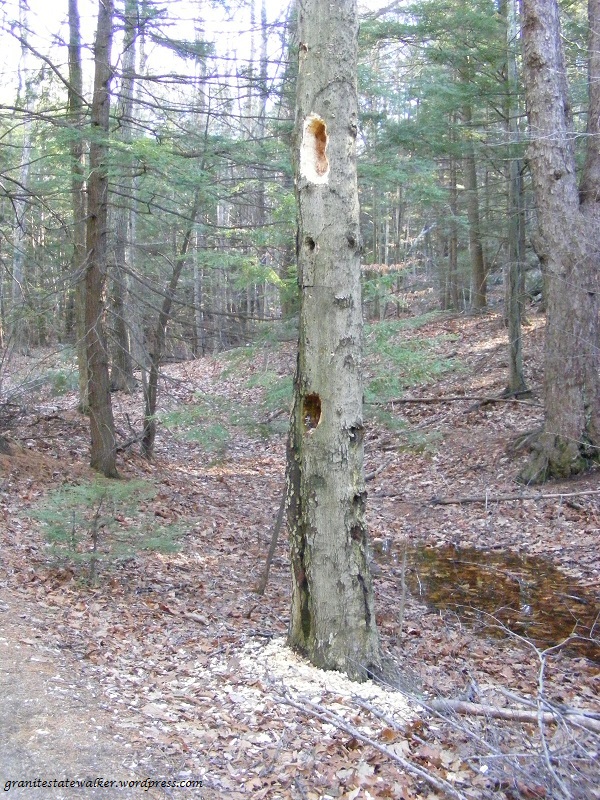
A pileated woodpecker had been hard at work on this tree.
I spent a foggy and snowless December day driving from the Merrimack River to the Connecticut River and back through New Hampshire’s southern tier, stopping for walks now and then. Visibility was too limited to make a mountain hike worthwhile, but rail trails and roadside parks were ready for me.
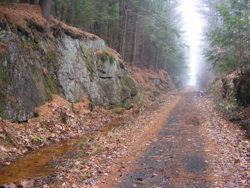
I chose a short segment between the nicely-restored depot in Troy and Rockwood Pond in Fitzwilliam. It was a round trip of just over four miles on a wide, straight trail. The only sounds were from birds and my own steps. No ice or snow, just a bit of mud on the southern half of the walk. On a clear day there’s a splendid view of Mount Monadnock from the shore of Rockwood Pond, though the fog obscured all the surrounding hills today.
Cheshire Rail Trail, Troy NH. All photos by Ellen Kolb
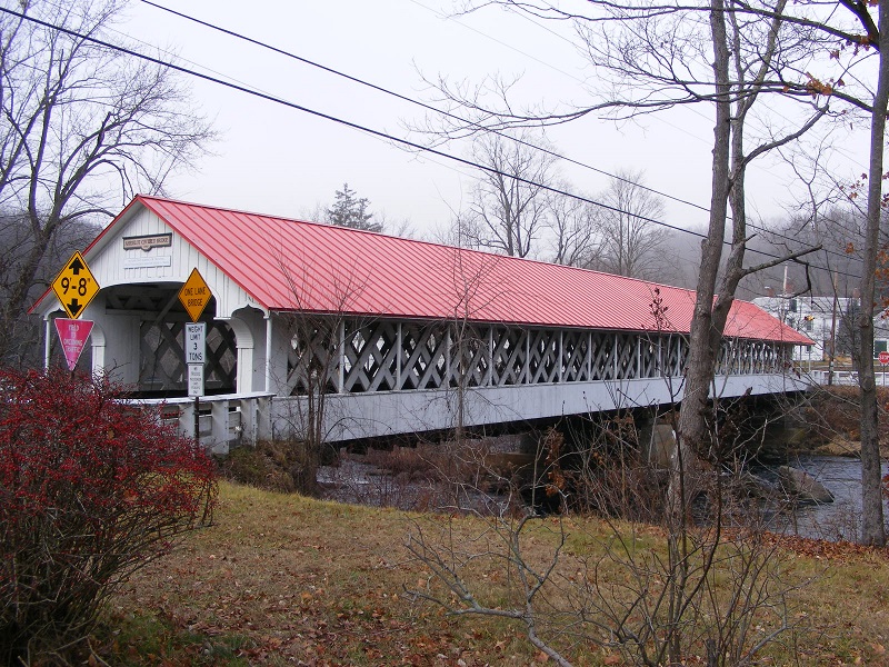
Swanzey was next, and I managed to work a pair of the town’s famed covered bridges into my route. The most exciting sight of the day was a bald eagle I spotted near the Ashuelot River, and it was too swift for me to snag a photo.
Thompson Bridge in Swanzey, complete with sidewalk.
The village of Ashuelot is in Winchester, with a covered bridge of its own.
Bridge in the village of Ashuelot, Winchester NH
After some business in Brattleboro, Vermont, I took the more-or-less direct route back east, along New Hampshire routes 9 and 101. I stopped for a half hour at Chesterfield Gorge, a small roadside state park on NH route 9.
Enjoy Chesterfield Gorge with a three-quarter-mile loop walk from the parking area.Wilde Brook, which cuts Chesterfield Gorge.
As the photos show, this is a very mild late autumn. In a fit of irrational exuberance, I almost tossed sandals in the car before I left home. Good thing I refrained; there was just enough mud and chill to make me glad I wore sensible shoes.
Daylight Savings Time is over, cutting into my late-day trail time. All I ask is just enough daylight to enjoy a leaf-covered trail without twisting my ankle.
So far, so good. I’m sharing Horse Hill with lots of neighbors who are trying to fit some outdoor time between work and dinner, including a fair number of mountain bikers. The preserve is large enough that I don’t feel at all crowded, even when the parking lot’s full.
Parking lot: full. Trail: all clear. Horse Hill Nature Preserve, New Hampshire. Ellen Kolb photos.
My favorite tree along the way. It’s survived some rough weather in recent years.
It’s been a dry autumn. I barely needed the bridge to cross this little stream.
New Hampshire’s Piscataquog Rail Trail finally reaches across the Piscataquog River, connecting Manchester with Goffstown. I put off some workday tasks long enough to walk the trail from its east end all the way across the new bridge. With all due respect and gratitude to the many people who made the project happen, I didn’t stay for the ribbon-cutting and speechifyin’. Trails are for walking.
On the Manchester side, looking toward Goffstown, at long last. Ellen Kolb photos.
On the Goffstown side.
I call this right neighborly.
Second Street bridge, near east end of Piscataquog Rail Trail.
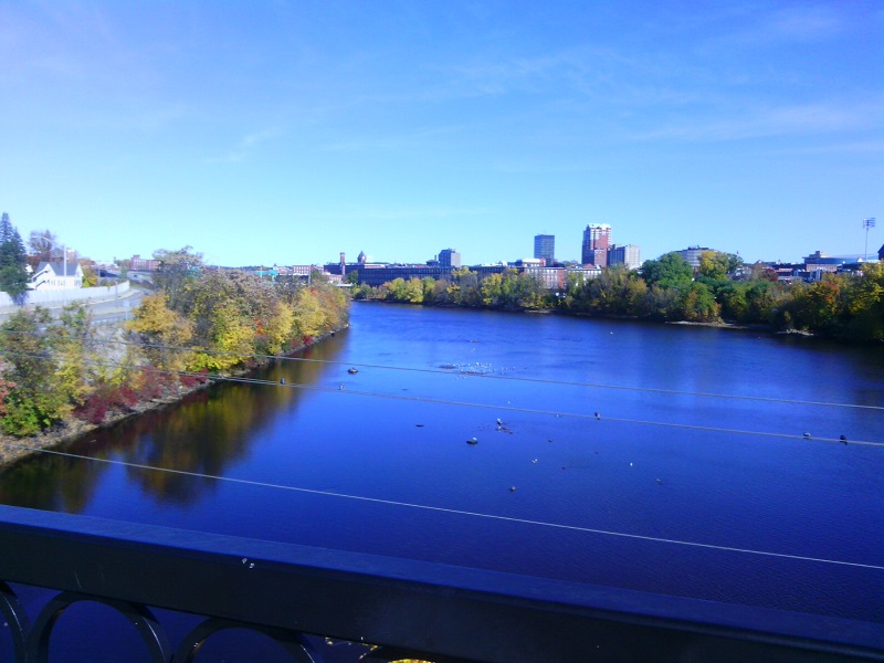
The Queen City: Manchester, New Hampshire, seen from the Hands Across the Merrimack bike/ped bridge.
The Singer family is behind many philanthropic efforts in the Manchester area. Their generosity helped to complete the bridge project.
It’s Saturday, and I walked today another nine miles on a very familiar path. I’m reminded again that I’m no photographer, My pictures, taken on a phone, might seem like generic New Hampshire foliage shots – but each one is of a spot I’ve seen in all seasons for more than a decade now, on unhurried walks like this one.
Unkety Brook, Dunstable MA; osprey nest atop tree at right. All photos by Ellen Kolb
When the Nashua River Rail Trail opened in 2002, an osprey nest was visible from the bridge over Unkety Brook. I look for it every year. It has taken a beating, and after one storm – was it the Halloween snowstorm of 2011? – it looked destroyed. Two springs later, the osprey were back.
Unkety Brook, Dunstable MA
There’s a farm field bordering Unkety Brook on the north side. Nothing but corn stubble remains from this year’s crop, visible as the whitish ground cover in the center left of the photo above. We had a very dry summer, and Unkety looked low in July and August. The water level looks better heading into fall.
Nashua River Rail Trail, Pepperell MA
The glaring sun reminded me all afternoon that it would have been a good idea to wear a visor. It’s definitely autumn, though: the sun was much lower than at the same hour even a month ago, and it was fleece-pullover weather.
Nashua River, East Pepperell MA
I have an AMC River Guide from 1978, more useful at this point for history than for navigation. About the Nashua River in Pepperell, the writers fretted: “From [Groton] to East Pepperell, the river is not attractive, as the increase in water level has flooded swampland and killed the trees.” Much has changed in 30-plus years, and the area upstream from the dam in Pepperell is now in my opinion the loveliest part of the river.
The Andres Institute of Art – “a sculpture park to delight the whole family,” as its website proclaims – occupies much of a hill alongside Route 13 in Brookline, New Hampshire. Over 70 sculptures are scattered around the property, which is laced with walking trails. The property is open dawn to dusk daily, and there’s no fee although donations are welcomed.
I spent an hour here on summer’s final weekend, and took these photos that show a sample of the artwork to be found along the Andres trails.
Of all the sculpture along my way, this was by far my favorite:Souls Of Peace by Gerard Montonri.At the top of the hill, a surprising seat from which to take in the view. (Yes, the seat’s from a bowling alley.)Mbari House by Geoffery Nwogu.Plenty of trailside asters today.Mount Monadnock, seen from the top of the hill at the Andres Institute.Alignment by Hoa Bich Dao. The path uphill cuts a diagonal line in the background.Drawing Sculpture/The Myth, by Satoru Takata.