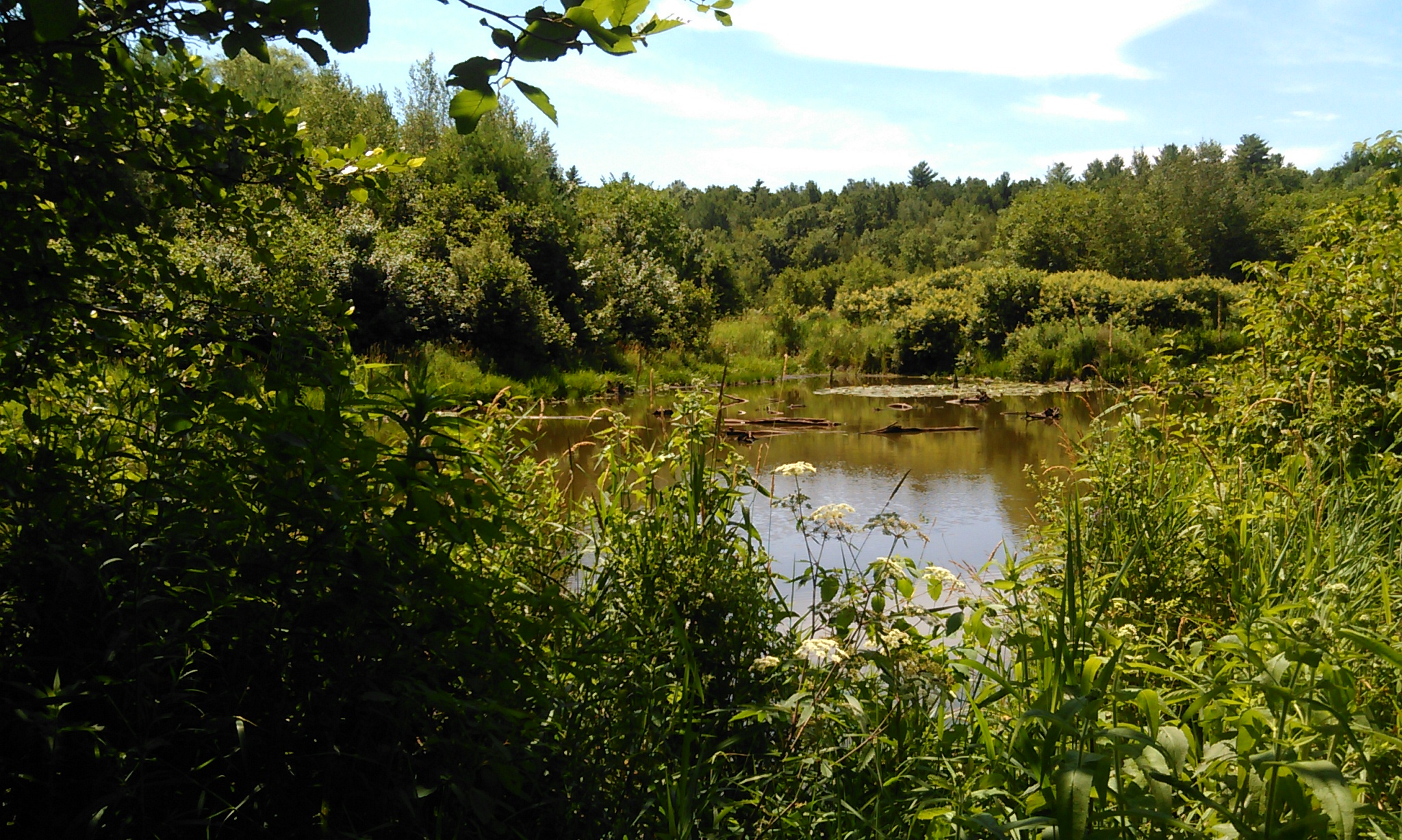
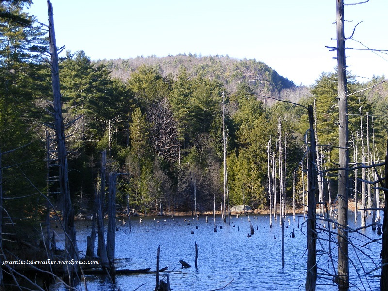
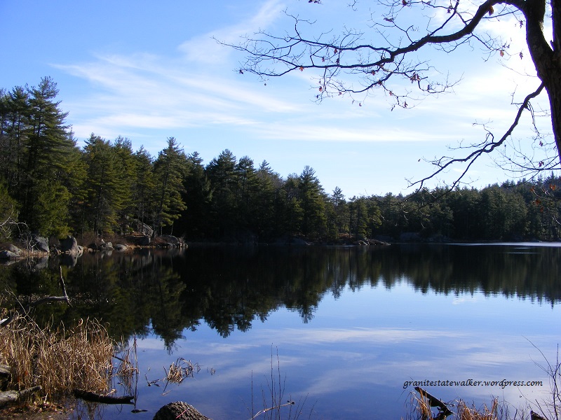
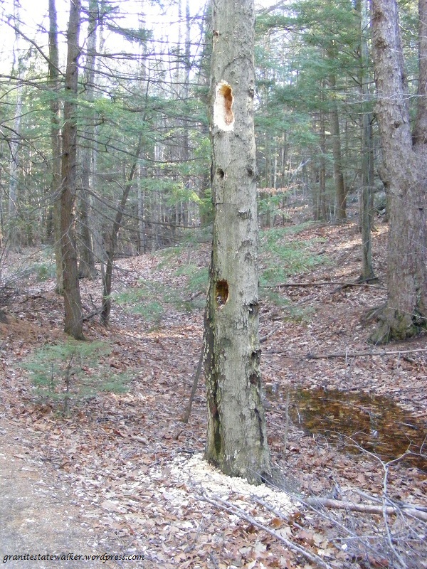
How many miles have I walked this year? A couple of hundred, if my journal is accurate, averaging a measly couple of dozen each month. Well, my knee hurt for awhile. The weather wasn’t always nice. I was busy. Blah, blah, blah … and just think, I fancy myself the Granite State Walker.
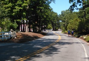
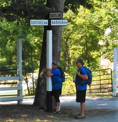
Today, I met a couple of real Granite State walkers. Wendy Thomas and Griffin Nozell, mother and son, just finished walking the length of New Hampshire, beginning at the Canadian border in Pittsburg and ending today in Nashua at the Massachusetts state line. They chose road walking rather than trail hiking, and in the process they built an online community that cheered them on all the way.
I joined Wendy and Griffin for the last couple of miles of their trip, just to meet them. I’d been following their travels via their Facebook group, Border-to-Border New Hampshire.
Thanks, Wendy and Griffin, for your fine company and conversation! I especially loved sharing impressions of Pittsburg, where they found the same warmth and hospitality that have made all my hikes up there so memorable.
They tell their own story better than I can. Link to Wendy’s blog, Lessons Learned From the Flock, for her introduction to their journey.
And you know what? It turns out that Wendy and I are neighbors. We live in the same town, about a mile apart. We didn’t meet until today.
Wendy plans to write up her travel notes for her blog, entitling the first post “Spoiler Alert.” She’ll have observations and insights different from those of someone hiking off-road. I urge you to head over to Lessons Learned From the Flock to read more about the border-to-border hike.
Griffin and Wendy have left me feeling inspired and encouraged to plod on, sore knees and all, always discovering more things to love about our Granite State.