A layered trail in Mine Falls Park

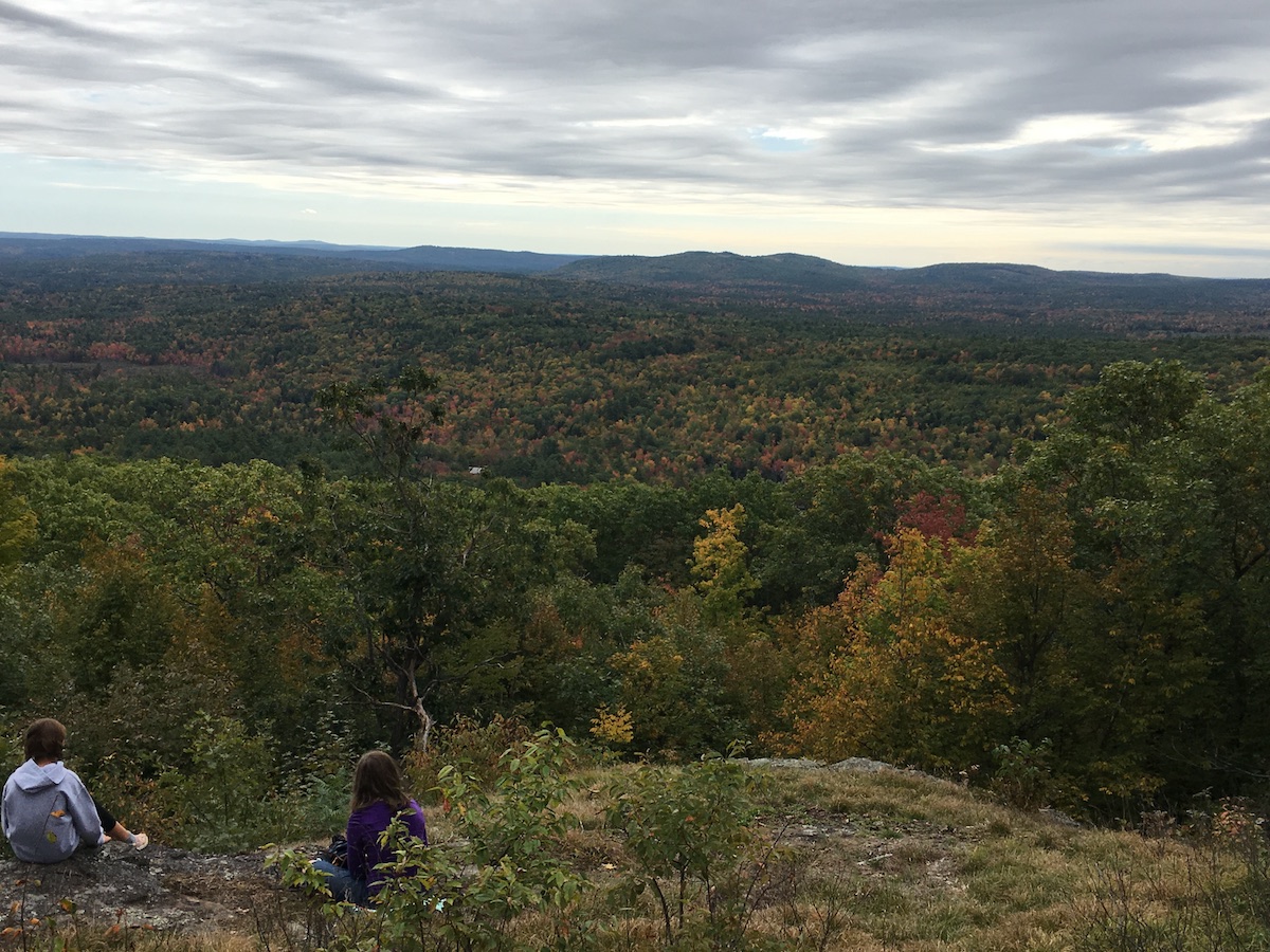
I needed a walk with no cars in sight. I headed to Mine Falls Park in Nashua. I found leaves over patchy ice over mud: not my favorite trail surface, but that’s what the end of October is dishing up in my area.

trail in woods at sunset
Mine Falls Park, Nashua, NH: late afternoon, end of October. Ellen Kolb photo.

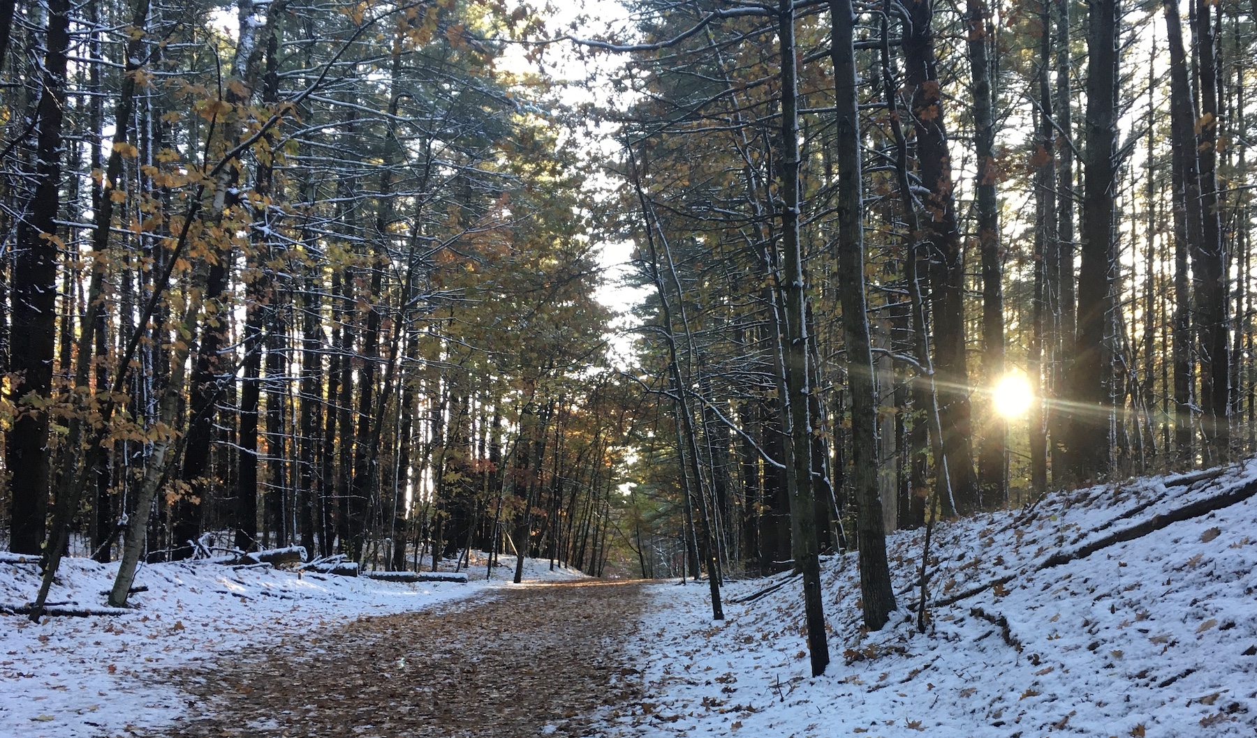
A scant inch of snow fell yesterday along with the leaves. Everything froze overnight, and then the sun came up and promptly warmed things up to about forty degrees. That left me with the layered trail. It wasn’t too bad, and it was certainly better than pavement. The bridges over canal and river were still a bit slippery from the snow.

The park was quiet. Weekends are usually busier. Even adjacent Lincoln Park, where I left my car, was nearly empty. No complaints. I was a bit out of sorts, and solitude suited me.

I usually see mallards in the canal. This day, I saw them in the Nashua River instead. About three dozen were together midstream. The river was sluggish, and the ducks paddled upstream effortlessly. That left the cove for about 20 Canada geese, most of them napping in the late afternoon.

I needed my sunglasses as I returned to my car, with the sun low in the western sky. That reminded me that I was walking during the last day of Daylight Savings Time. November will bring the sense of dislocation I feel every fall until I mentally reconcile what the clock says with what the sun does.

Autumn road trip: clouds and no crowds on the Presidential Rail Trail

My husband and I drove to northern New Hampshire for a hastily-planned weekend trip for some hiking and biking, past the peak autumn foliage and the oppressive crowds driving to see it. The cloudy weather got cloudier. Traffic got lighter. When we stopped at a little inn on U.S. 2, we were exactly where we wanted to be.

You can call it “past peak.” I call it just fine.

It was not a weekend for grand vistas or clear night skies. Low clouds were the rule. My favorite lookout spot on the Weeks State Park Auto Road, which usually features a showstopping view of the Presidential Range, featured nothing but a wall of fog.

So instead of looking at things miles away, I spent more time looking at things like the carpet of red maple leaves under my feet. I liked walking for miles in the cool conditions. Segments of the Presidential Rail Trail were ideal.

The only noisy mile of trail was one I shared with ATVs in Gorham when I wanted to get a look at the Androscoggin River from a trail bridge. Once I’d done that, I scooted back west to where the trail was closed to motorized traffic. Once I was on that stretch, I saw a grand total of three other people in five miles of walking.

Androscoggin River in Gorham New Hampshire
Androscoggin River, Gorham NH: low in October after a dry summer. Ellen Kolb photo.

At one point during the weekend, the clouds lifted enough to reveal nearby Cherry Mountain, which for once wasn’t just a visual foil to all the other peaks in the area. I was lucky enough to be walking on the Presidential Trail in the Pondicherry area (trailheads on Airport Road in Whitefield and NH Route 115-A in Jefferson) when the sun came out and the view opened up.

Cherry Mountain, Jefferson New Hampshire. Photo by Ellen Kolb
Cherry Mountain, Jefferson NH. Ellen Kolb photo.

October’s walks: a Granite State sampler

Blue sky, thirty-odd degrees, visibility unlimited: a New Hampshire October at its best. This was a month of short hikes in a pleasing variety of places.

Goffstown Rail Trail

Goffstrailsign

The Friends of the Goffstown Rail Trail have just unveiled a short but welcome upgrade to the sandy stretch of trail running behind the county government complex on Route 114. The new hardpack surface is much friendlier to bicyclists.

The trail is covered with leaves, which is no surprise in October. What did surprise me was the absence of fallen twigs and branches after several windy days.

Muster Field Farm, Sutton

Muster Field Farm is up Sutton way, just south of I-89. It’s a working farm as well as a historical homestead. It’s on a quiet road that’s fine for walking, with other paths and roads nearby to create loop routes of varying lengths. There’s a farm stand on the property, and I was lucky enough to be there on a day when $5 got me a big bunch of colorful cut zinnias.

meadow edged by stone wall
Muster Field Farm, Sutton NH.
field of zinnias of many colors
Flowers galore growing at Muster Field Farm
New Hampshire historical marker for "Harvey Homestead"
The Harvey Homestead is part of the Muster Field property.

Monson Center, Milford/Hollis

My previous visits to the trails in Monson Center were in the summertime, with irises blooming and mosquitos biting. October brought a different atmosphere, bracing and clear.

Monson was an 18th-century town that lasted less than 40 years before its inhabitants petitioned the state to formally rescind the town’s charter and divide the land among surrounding towns. Today, the land is a Forest Society property. Located only a few miles from busy Rt. 101-A, the parking area on Federal Hill Road is easy to miss. I’ve overshot it myself. It’s worth finding, though, for its historical interest as well as its trails.


heron rookery in a marsh
Beavers flooded part of the Monson property, and herons have taken advantage, as their nests attest.

Moose Mountains Reservation, Middleton/Brookfield

This was a bit of a drive for me, but that was a treat during foliage season. My hike in Moose Mountains Reservation took me to Phoebe’s Nable. That’s right, Nable. I wondered if that was a corruption of “nubble,” but my companions didn’t think so. None of us knows how the feature got its name. No matter – the views from there were fine, and it was possibly the month’s best lunch spot.

The reservation has other trails I had no time to explore. This would make a fine destination for a half-day of wandering through hills, fields, and forest.

Phoebe's Nable
The view from Phoebe’s Nable
property sign for Moose Mountains Reservation

October Gallery: New Hampshire in color

This has been a muted fall in New Hampshire, which is not to say a bad one. There are brilliant trees here and there, but for the most part, this month has been dominated by gold and bronze. Here’s my October sampler, featuring Oak Hill, Horse Hill Preserve, Ponemah Bog, Craney Hill, and Crotched Mountain.

Oak Hill, Concord

It had been a few years since my last walk to the fire tower on Oak Hill. Finally, I got back there. I had been warned about wasps near the cab, but the first frosts must have nipped them.

DSCF2288.jpg
Oak Hill fire tower, Concord NH
DSCF2294
Western view of the Merrimack River valley from Oak Hill. The plume of steam is from a plant near the Concord-Boscawen town line.
DSCF2279
A small notice announces a new trail on Oak Hill, created by Concord High School students.
DSCF2281
The day’s best maple leaves, spotted along the two-mile trail leading to the Oak Hill fire tower.

Horse Hill Nature Preserve, Merrimack

The best color this fall has been in the wetlands, not the hills. A walk to the center of the Horse Hill preserve rewarded me with much brighter foliage than I’d seen just a couple of days earlier on a drive toward the Monadnocks.

fullsizeoutput_5fc
I’m amazed that the beavers haven’t abandoned this lodge so close to a Horse Hill trail. I guess hikers haven’t been disruptive.
DSCF2130
Leaf-peeping in one of my favorite spots in Horse Hill Preserve.

Ponemah Bog, Amherst

DSCF2274
The shrubs and water plants in the bog were showier than the trees.

Craney Hill, Henniker

The NH Fire Towers page on Facebook clued me in to the Craney Hill lookout tower, once a fire tower. Now, it’s open to the public two weekends a year, during foliage season. I made it to the tower just in time – last visitor on the last day!

fullsizeoutput_5f1
Craney Hill lookout tower, Henniker NH.

Crotched Mountain, Greenfield-Bennington

I didn’t stop with the Gregg Trail this time. Two friends joined me for a walk to the ridgetop via Shannon’s Trail. I owe thanks to the folks who managed to get a picnic table up there.

IMG_20171005_103243
The view from the picnic table atop Crotched Mountain: a hint of color, and distant Monadnock. And oh, that sky.

Early Fall: Mt. Skatutakee, Hancock NH

I headed to Hancock hoping to find some autumn color, but foliage season is only skimming the Monadnocks so far. The brilliant colors are a couple of weeks away. I had a beautiful drive nonetheless, followed by a good walk up Mt. Skatutakee on the property of the Harris Center for Conservation Education. (Check the “Trails” tab on that site for maps to local trails.) Great early fall conditions: sunny, cooling down, no bugs.

With or without fall color, Skatutakee’s summit is a good spot for lunch, just as I recalled. I was last there about thirteen years ago on a spring day when the blackflies were ferocious and ladyslippers were everywhere. Views from the summit were obscured by vegetation that hasn’t been trimmed back in awhile.

distant peaks seen through forest canopy
The view from the Skatutakee summit south to Mount Monadnock was limited by the leafed-out trees. 
hazy view of two distant hills from a forested area
North Pack Monadnock (at left) and Pack Monadnock, seen from Skatutakee’s summit.

Everett Dam on a cloudy day, Weare NH

There’s usually a fine view of Mount Kearsarge from the Everett Dam by Clough State Park in Weare. Not on this cold and foggy day, though. I walked across the dam toward the trail on the other side and felt like I was disappearing into a cloud.

There’s a extensive trail system nearby for ATVs and hikers, but there were no machines in sight or sound today. Clough State Park is closed for the season, so there was no summertime laughter to be heard from the beach. I walked in pleasing silence and solitude.

hopkintoneverettdam1

hopkintoneverettdam4