Close to Home: Wildcat Conservation Area, Merrimack NH

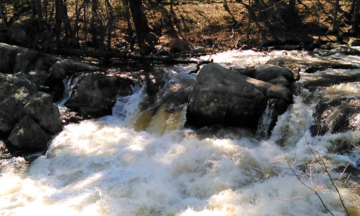
Wildcat Falls Apr 2017
Wildcat Falls on the Souhegan River

The Souhegan River runs through my New Hampshire town and through the Wildcat Conservation Area. WCA’s most striking feature is Wildcat Falls, and it’s the reason there’s a canoe take-out upstream where the river crosses Turkey Hill Road. Way too much granite and way too many fallen trees make the falls a spot that’s pretty to look at but lousy to navigate. The falls don’t come from a single height, but rather from irregularly terraced granite shelves and boulders left in the river when the last glaciers retreated.

There are a couple of miles of trails winding through the conservation area and the adjoining state property. All I was interested in today was a direct path to the falls. The walk to the falls from the Currier Road parking lot goes through a sandy, pine-y area that reminds me of where I grew up in flat southern Florida, where rivers looked like canals and where waterfalls were pure fiction.

Update, 2025: Parking for WCA is now available in Watson Park on US 3 in the center of Merrimack. A trail about a half-mile long follows the Souhegan River upstream from Watson Park, eventually crossing under the Everett Turnpike and emerging in WCA. If the parking area off Currier Road is full, park at Watson, not on the residential streets near WCA.
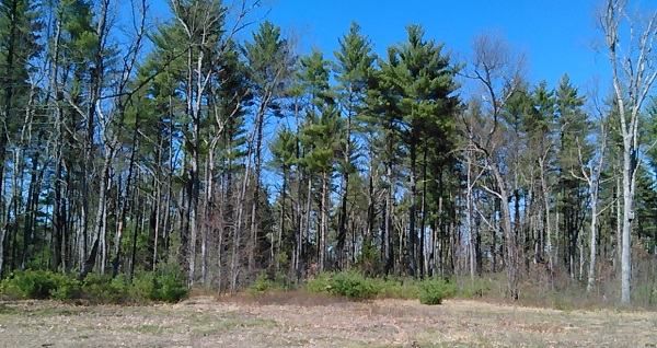
woods at Wildcat Falls
From the parking lot for Wildcat Conservation Area in Merrimack NH, it’s a short walk through sandy woods to get to the Souhegan River and Wildcat Falls.

Bridge-builder Helen Closson, RIP

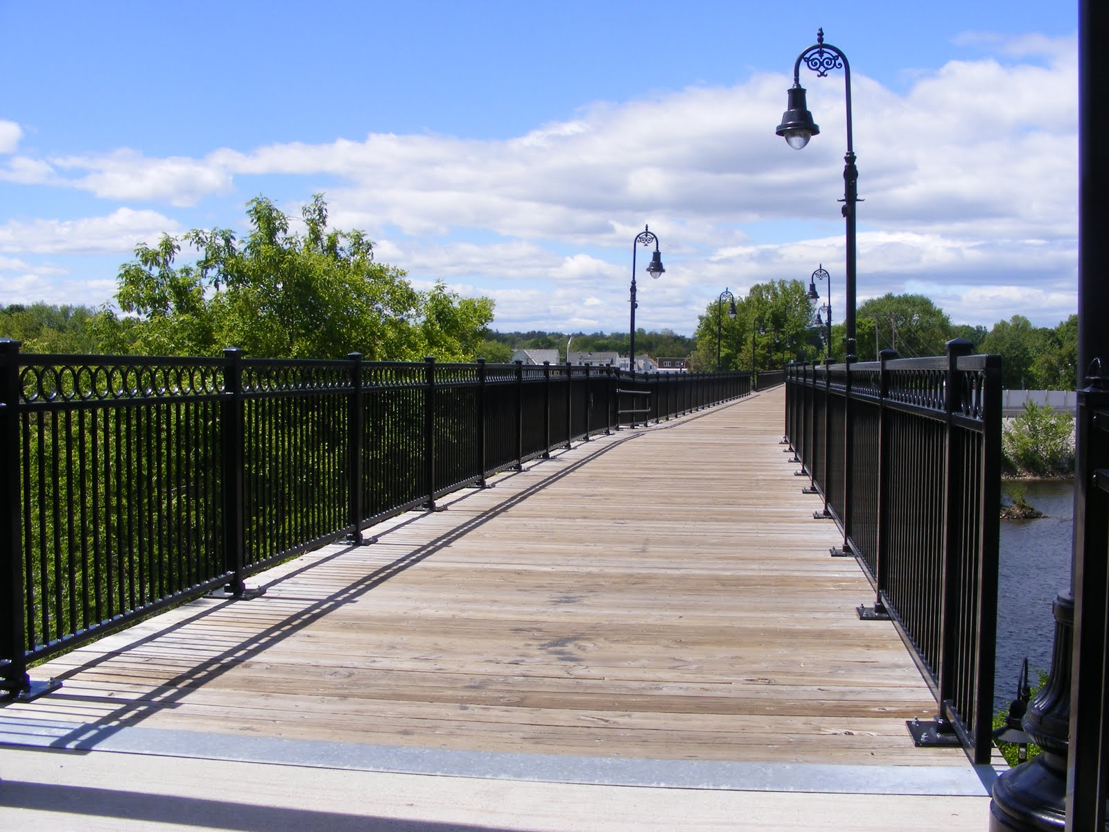
This morning’s newspaper carries news of the death of Helen Closson of Manchester, New Hampshire at the age of 94. The headline describes her as “a force for good.” The long list of her civic activities bears this out. As a Granite State walker, I will always think of her as the woman who brought us the Hands Across the Merrimack pedestrian bridge over the Merrimack River in Manchester.

Hands Across the Merrimack (and Manchester)
The Hands Across the Merrimack bridge. Ellen Kolb photo.

The Pisacataquog Trail of which the bridge is a part links Manchester to Goffstown, providing recreational opportunities for everyone in Greater Manchester.

Turning an abandoned rail trestle into a pedestrian walkway is a team effort, and my gratitude for the bridge ought to be extended to many people. Mrs. Closson, though, was the team leader who saw the project through to the end.

I appreciate the gift.


First day hike 2017: Wellington State Park, Bristol NH

New Hampshire enjoyed benign weather on New Year’s Day, perfect for a First Day Hike. I headed to Bristol, home of Wellington State Park and the Elwell Trail. No snowshoes needed; the trail was well-packed. Gravity got the best of me a few times despite the YakTrax on my boots, but I fell gently thanks to the snow cover. About sixteen of us were led up the trail by a guide from the Newfound Lake Region Association.

NewfoundLake, NH
Newfound Lake in Bristol, NH, seen from Little Sugarloaf. Ellen Kolb photos.

Our destination was Little Sugarloaf, a modest peak about a mile and a half from the Wellington parking lot. There were plenty of hikers on the hiking trails and snowmobilers on the snowmobile trails, with cooperation and good cheer all around.

The payoff view: Newfound Lake on a clear and sunny day, with ideal sights and sounds. We watched a pair of bald eagles fly around the islands below us. The snowy peaks of Franconia Notch about 40 miles away were visible. I knew there were snowmobiles all over the lower trails, but I could barely hear them from Little Sugarloaf’s summit.

A few of my more ambitious companions decided to hike on to Sugarloaf, a few hundred feet higher. I might check that out some autumn day.

Find maps of the area at newfoundlake.org.


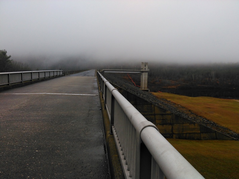
Everett Dam on a cloudy day, Weare NH

There’s usually a fine view of Mount Kearsarge from the Everett Dam by Clough State Park in Weare. Not on this cold and foggy day, though. I walked across the dam toward the trail on the other side and felt like I was disappearing into a cloud.

There’s a extensive trail system nearby for ATVs and hikers, but there were no machines in sight or sound today. Clough State Park is closed for the season, so there was no summertime laughter to be heard from the beach. I walked in pleasing silence and solitude.

hopkintoneverettdam1

hopkintoneverettdam4


Take Notes

When my husband and I went to Yellowstone and Grand Teton National Parks last year, I scribbled some notes at the end of each day. Too sketchy to amount to a journal, they nevertheless recorded some important details. Once we got home, I typed up the notes and emailed a copy of the resulting document to myself for safekeeping.

It was so safe that I forgot I had it, until this evening. I’m laid up at the moment with a cold or flu or whatever the microbe du jour might be, and to pass the time I’m clearing out things from my email inbox that I never properly archived. Lo and behold, there were my Yellowstone notes.

Reading them took me right back to the Old Faithful Inn and the Teton bike trail.

I neatened up the notes, imposing complete sentences on my fragmentary observations. Then I printed out the resulting text and tucked it in our photo album of the trip. Yes, an actual hold-it-in-your-hand photo album. Now, when we or our kids look at the pictures, we’ll have more context than simply “ooh! what a pretty meadow!”

Do yourself a favor and take notes on your next trip, especially if it’s to a place you’ll likely not visit again. No need for elegant writing; my own sketchy notes were hardly poetic. I wasn’t writing for publication. I wrote to capture impressions that I was afraid I’d lose once the vacation was over.

I should have printed out my notes right after the trip instead of relegating them to email limbo for more than a year. They’ve come back to life now.

Take notes. You won’t be sorry.

(I managed to wring a blog post out of the Yellowstone trip shortly after coming home. It’s mostly photos. I hope you enjoy it!) 

The Wapack Trail, NH/MA: a series of dayhikes

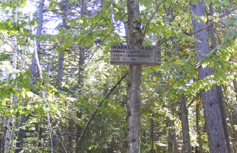
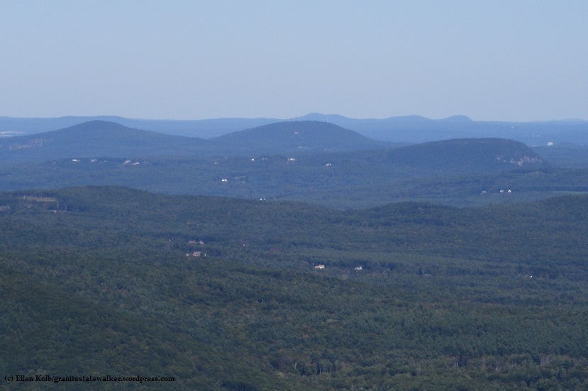
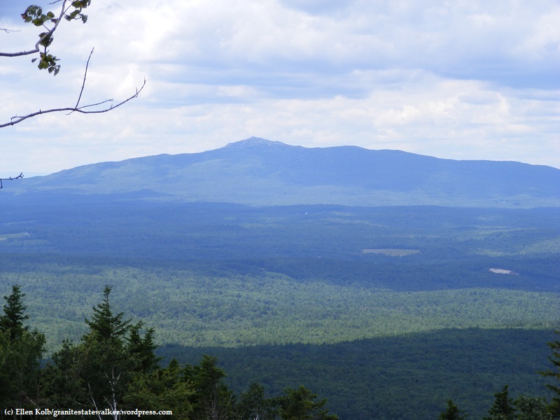
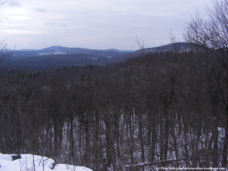
From Ashburnham, Massachusetts to Greenfield, New Hampshire, the Wapack range extends over a series of peaks that can be seen clearly from the eastern slopes of Mount Monadnock. The 21-mile Wapack Trail spans the range, with segments that make great dayhikes.

wapack-range-seen-from-monadnock

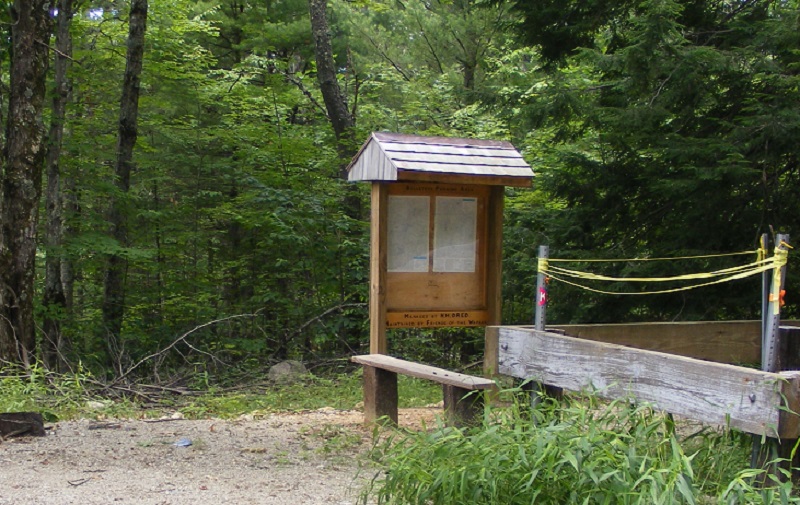
My copy of the the Wapack Trail guide is well-thumbed, and the map that comes with it has held up pretty well for me through the years. Map and guidebook, along with recent trail notes, are available at the Friends of the Wapack web site.

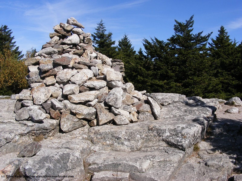
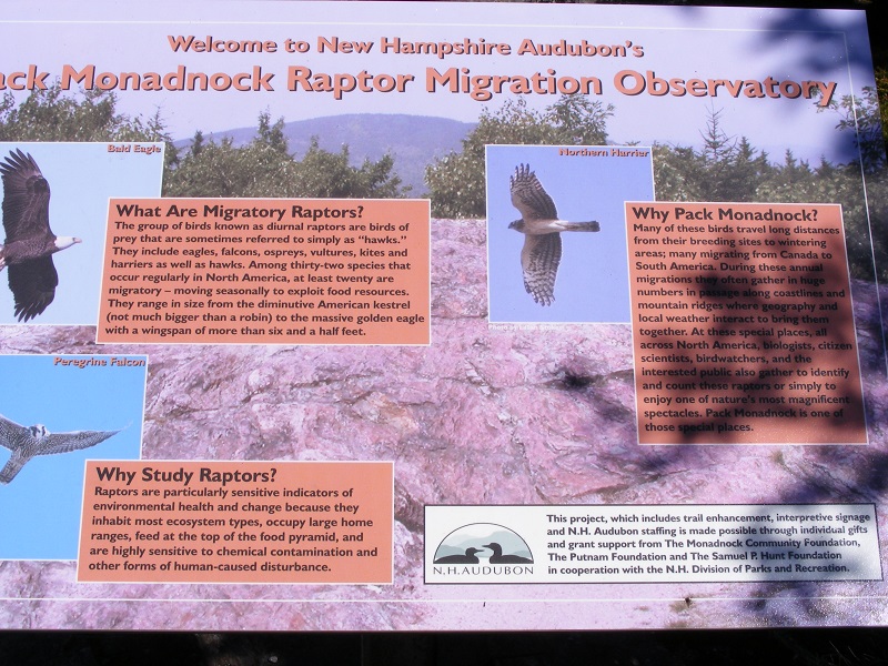
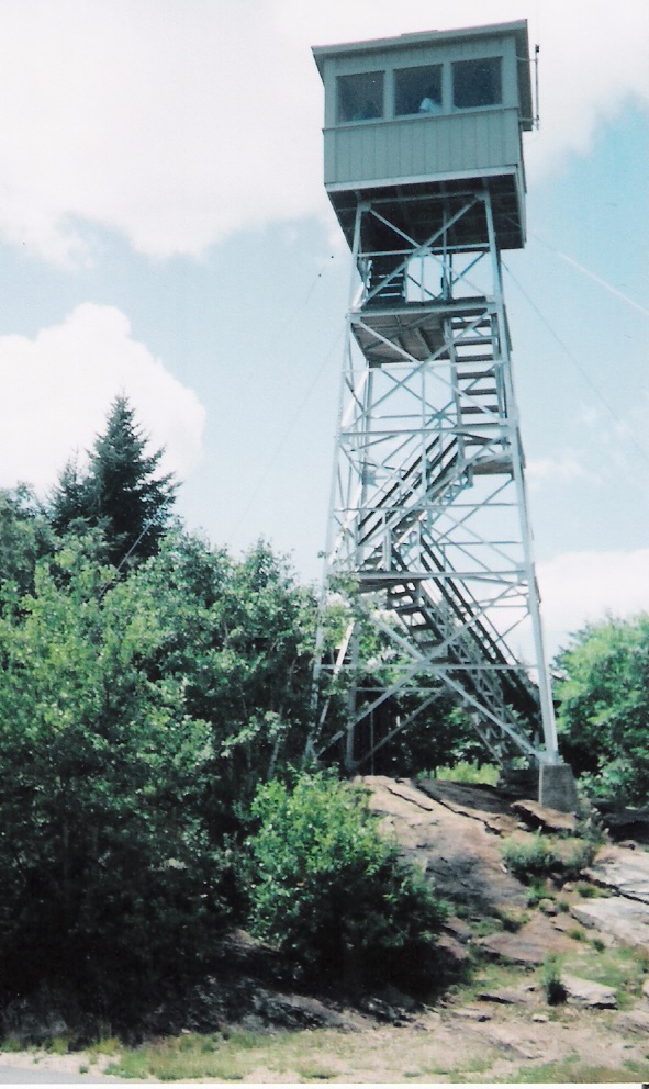
Pack Monadnock is the most popular part of the trail, with Miller State Park and the summit’s fire tower apt to draw crowds. North Pack is close enough to add for an out-and-back hike.

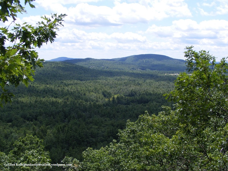
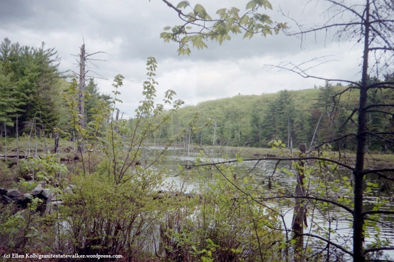
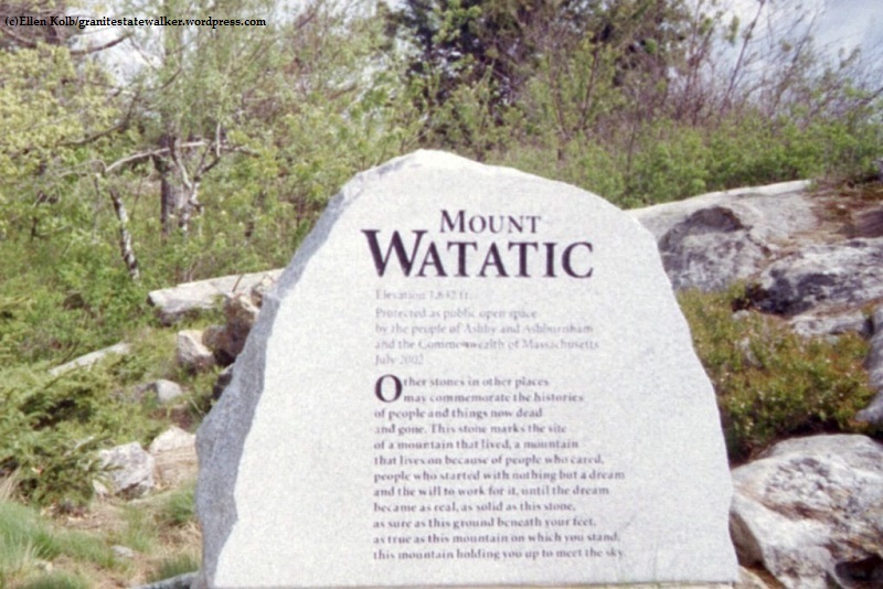
I like the Temple Mountain ridge in July, when I can make a lunch out of blueberries. Watatic, at the southern end of the trail, has a wonderful open summit. The variety of birds in the Binney Pond area make the mosquitoes worth tolerating.

Endurance racers have been known to run the entire trail in a day. I take the Wapack in segments, at a gentle pace. Either way, the Wapack Range is memorable.

North Pack Monadnock – Pack Monadnock

Temple Mountain – Barrett Mountain (Windblown Cross-Country Ski Area)

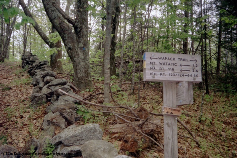
Southern section of the trail