Coos County summer hikes

Job responsibilities prevented a backpacking trip for me this season. I settled for four days of dayhikes in Pittsburg, way north in Coos County, New Hampshire. (CO-ahhs, if you please, in case you’re new here. Welcome.)

Conditions: upper 80s, high humidity, overcast, with a low cloud ceiling that cut off views of nearly every peak in the area. On the other hand, I was there on quiet weekdays, and I had the solitude I craved on every road and trail.

Magalloway from Ramblewood
Mount Magalloway (in cloud) and First Connecticut Lake. All photos in this post by Ellen Kolb.

Cohos Trail Segments

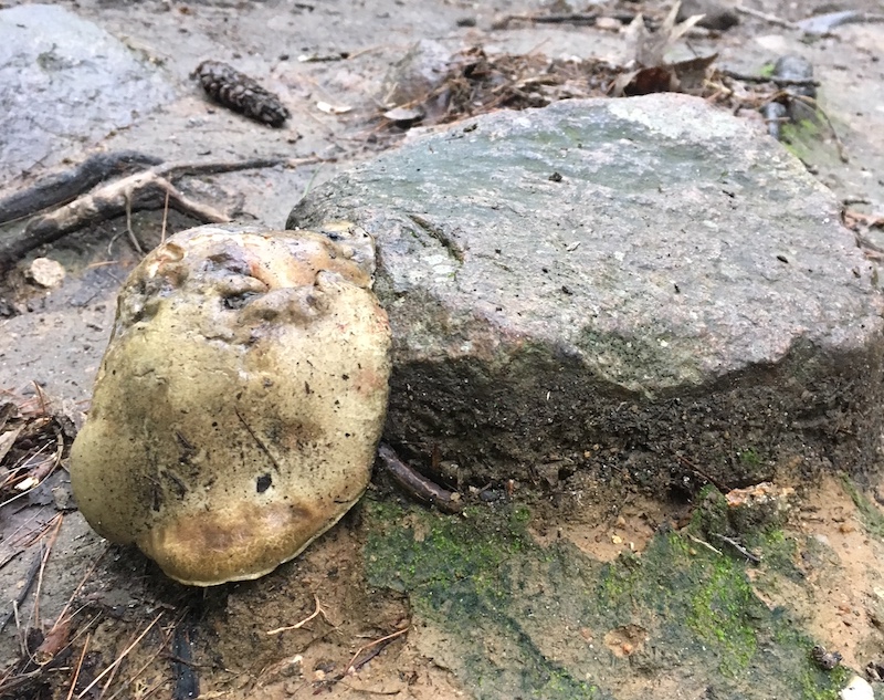
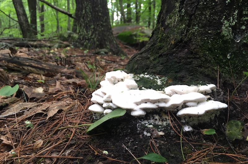
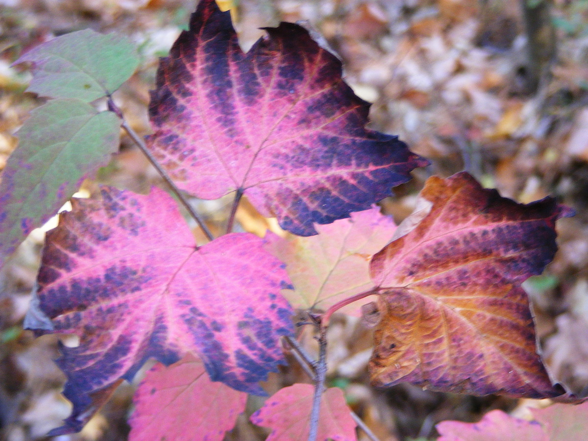
Covell Mountain really does not want to yield a trail this summer. There were signs of storm damage and logging. The mud made me glad I had shoes with a moisture-resistant lining. Grasses were growing high despite obvious efforts by trail adopters to keep them in check. Blazes were clear and plentiful, though, and I know I can thank those same trail volunteers for that.

There was a newly-fallen spruce across the trail, not far from a junction with a path marked Cattail Trail. The spruce refused to give way to the little knife I carried. All I got for my pains was a sappy blade.

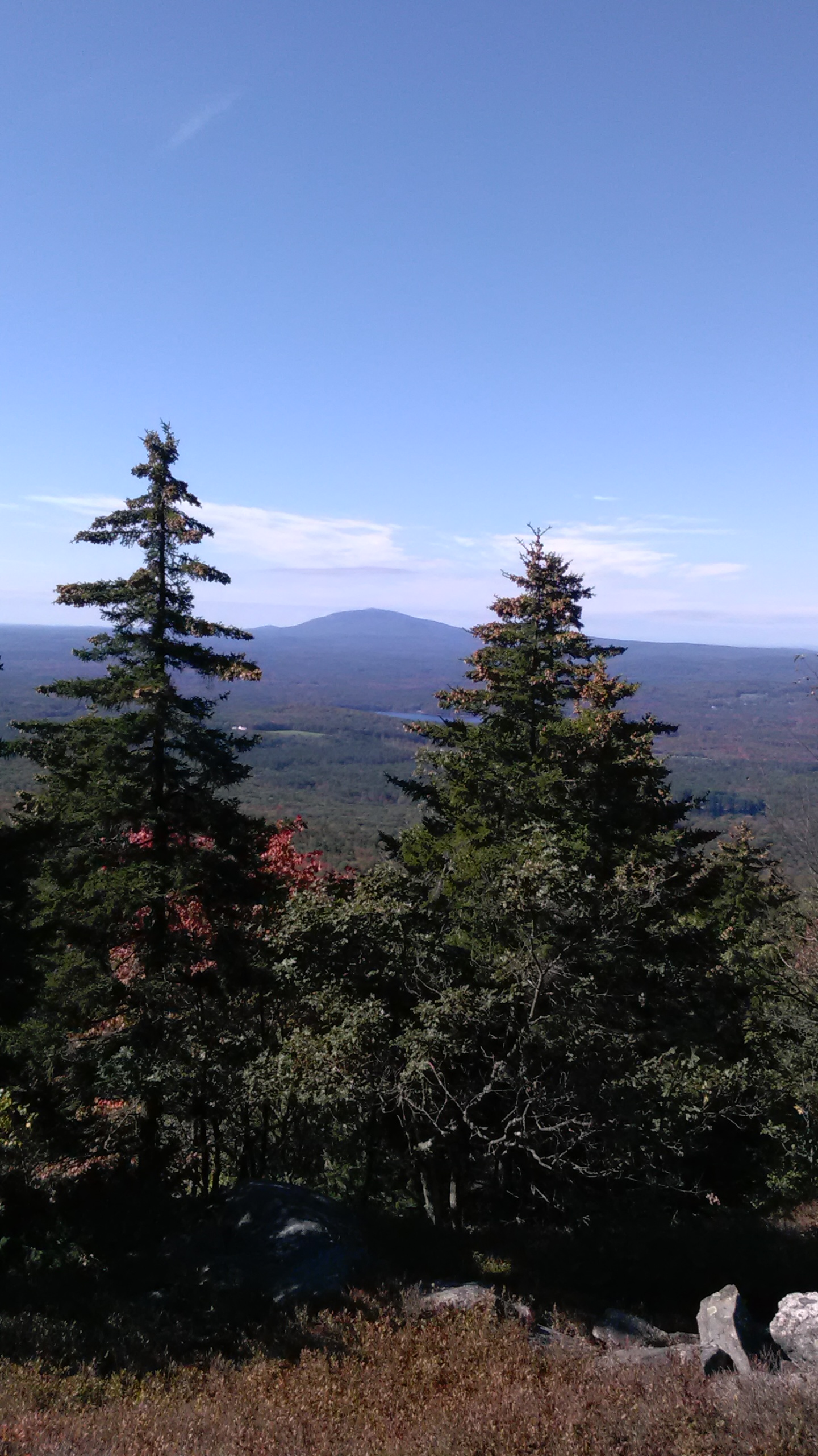
Perhaps on a clearer and cooler day, I’d have kept going past Covell to Prospect Mountain, where on another trip I enjoyed a spectacular vista. This was not a week for great views, I thought, so I contented myself with an up-and-back hike on Covell.

As I returned to my car parked at the Ramblewood campground, I caught sight of Mt. Magalloway and a sliver of First Connecticut Lake. The summit was obscured by cloud and the lake reflected the gray sky: a striking monochrome landscape offered up by Covell Mountain, as if to thank me for putting up with its messy trail.

2nd Lake d
Second Connecticut Lake, at a low late-summer level.

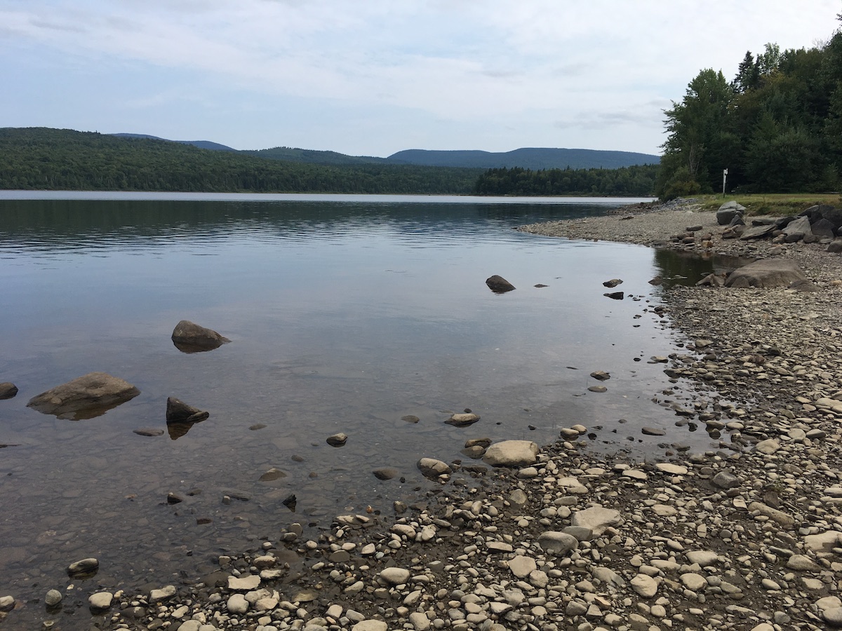
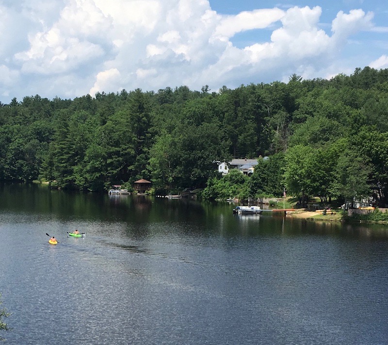
Peaceful Second Connecticut Lake never disappoints, however short the visit. This time, I parked at the dam alongside U.S. 3 and followed the Cohos Trail north.

The trail soon intersected Idlewilde Road, and I turned for the five-minute detour to the Idlewilde boat ramp. On a hazy late-summer afternoon, I stood at the ramp on the lake’s shore all by myself, with a loon’s call the only sound I could hear.

Back on the trail, I took up the Chaput segment. It’s named for a couple I’ve never met who are famous to Cohos Trail veterans for their years of trail work. The segment is parallel to and very close to U.S. 3, but it gets hikers off the pavement. I’m a fan. I hiked the northern section of the Cohos Trail in 2009, and at that time the last ten miles of trail to the Canadian border were on the highway. Thanks to the efforts of many volunteers, that’s no longer the case.

Lainie's Lair
“Lainie’s Lair,” on the Cohos Trail.

Along the Chaput segment, I found the little rocky overhang nicknamed Lainie’s Lair. That’s a fun tribute to another legendary Cohos Trail volunteer. Lainie brought me with her for a memorable day of trail work during my 2009 hike. I had a lot of enthusiasm for the task, but zero skill. Lainie patiently coached me on things like how to use tools without hurting anyone and how not to freak out at the sight of bear scat. She could have accomplished a lot more that day in 2009 without me, but she was happy to be my guide. Nine years later, I smiled at the whimsical salute to her at the “lair.”

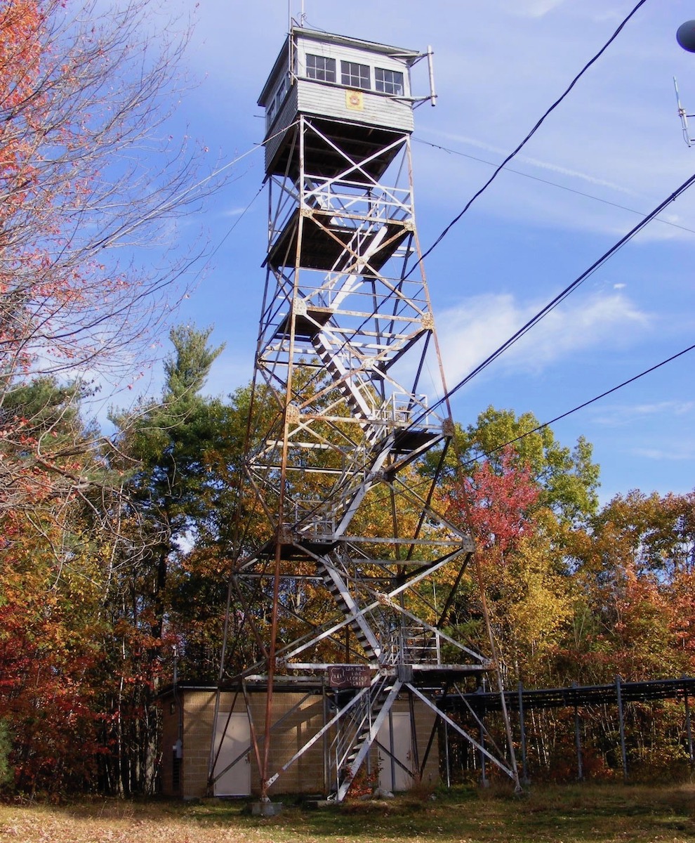
Sophie’s Lane is part of snowmobile corridor #5, and the Cohos Trail follows it beginning just south of Deer Mountain State Park. After being in the woods on a hot day, Sophie’s Lane was a relief. It was wide and open enough to catch a breeze that kept insects at bay. The lane leads to a spur to the site of an old fire tower on Deer Mountain (no cab or platform remains), which is a side trip I didn’t take.

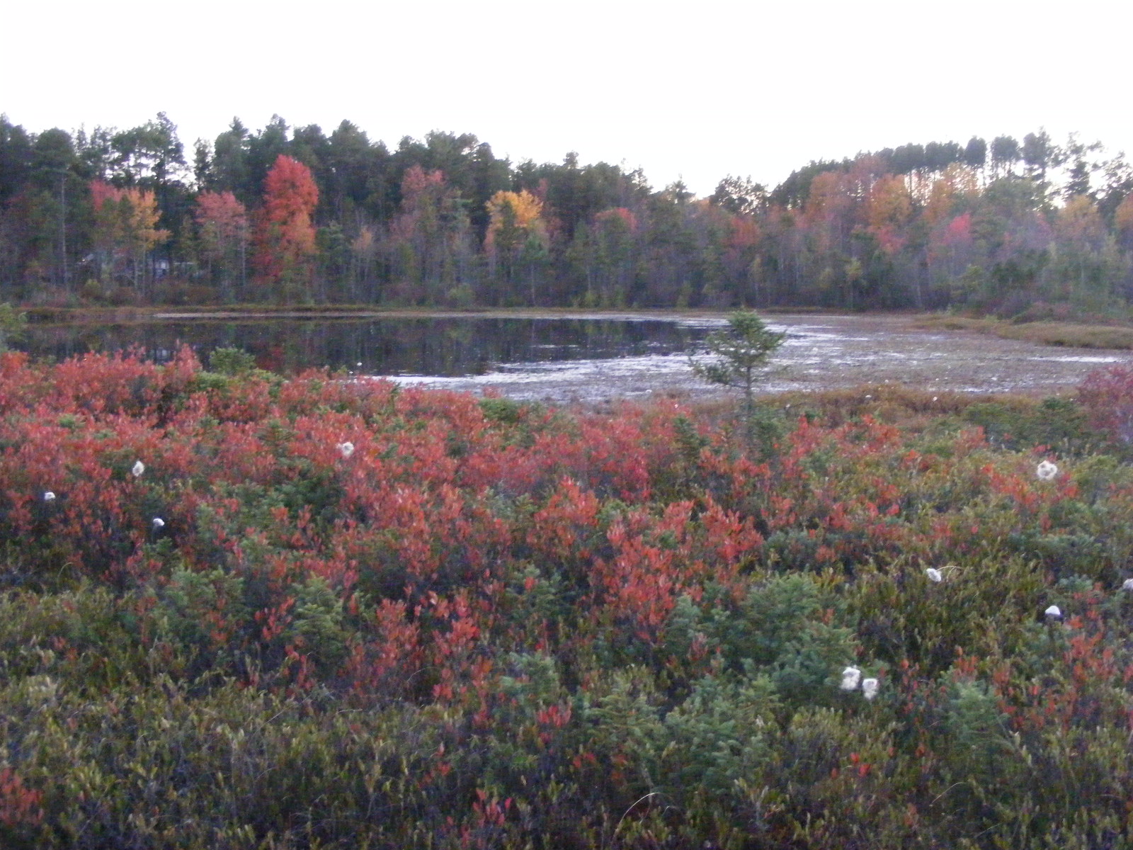
I liked the short spur to Moose Flowage, which is part of the Connecticut River south of Third Lake. It was a good spot for a break and a snack. It was a tempting place for a campsite as well, but signs sternly warned against any such notion. Deer Mountain state park’s campground, accessible from U.S. 3, is just across the Flowage.

snowmobile trail information kiosk, Pittsburg NH
Sophie’s Lane trail kiosk

The lane gradually narrowed the further north I walked. I stopped well short of the Canadian border, avoiding a walk through a long weedy stretch of trail. I passed a clearing with one boulder covered in street art. That jarred me. That painted rock somehow bothered me more than the relatively new cell tower at the north end of First Lake. It poked a big hole in the sense of isolation I expected in August on a snowmobile trail three miles from Quebec.

What I didn’t see along the way – not on Sophie’s Lane, and not anywhere else – was a moose. No bear or deer, either. I saw moose tracks in one muddy spot, but as for the beasts themselves, nada. Perhaps the heat kept them in hiding. Maybe I’m such a noisy hiker that I scare off everything larger than a mosquito. My presence didn’t bother the birds, though. It was a good week for seeing heron, hawks, and turkeys.

Pittsburg: the Village and Happy Corner

Broadband has come to Pittsburg, or at least parts of it. I stayed in the village – downtown Pittsburg, more or less – in a comfortable little cabin with WiFi and cell service.

The snowmobile crowds are a few months away, people are buttoning up their camps for the season, and the summertime ATV vacationers have mostly returned to work and school. The town roads were thus quiet and inviting during my recent visit. As always in Pittsburg, the people I encountered were friendly and hospitable, ready to answer my questions and point me to interesting places.

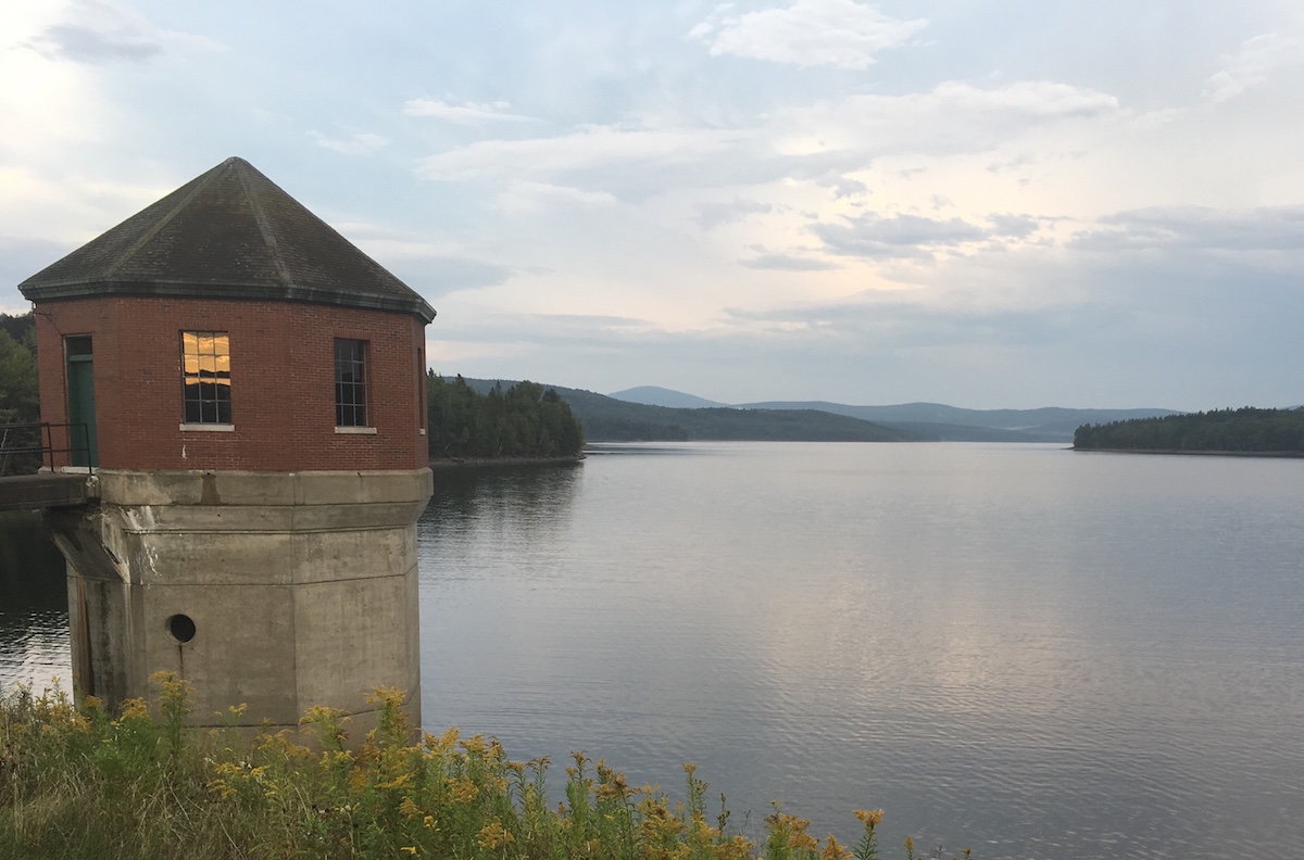
A three-mile loop walk from my cabin at day’s end took me to Murphy Dam, Lake Francis, and Cedar Stream Road. A tranquil route, from start to finish. Had I moved east on Cedar Stream Road rather than west towards town, I’d have picked up a Cohos Trail segment leading to the east side of Lake Francis.

Lake Francis Murphy Dam
Lake Francis seen from Murphy Dam

Six miles north of the village, the crossroads known as Happy Corner makes a good base for a few Cohos Trail dayhikes and for exploration of town roads. I loved rambling with no schedule and no fixed route.

Road Tripping

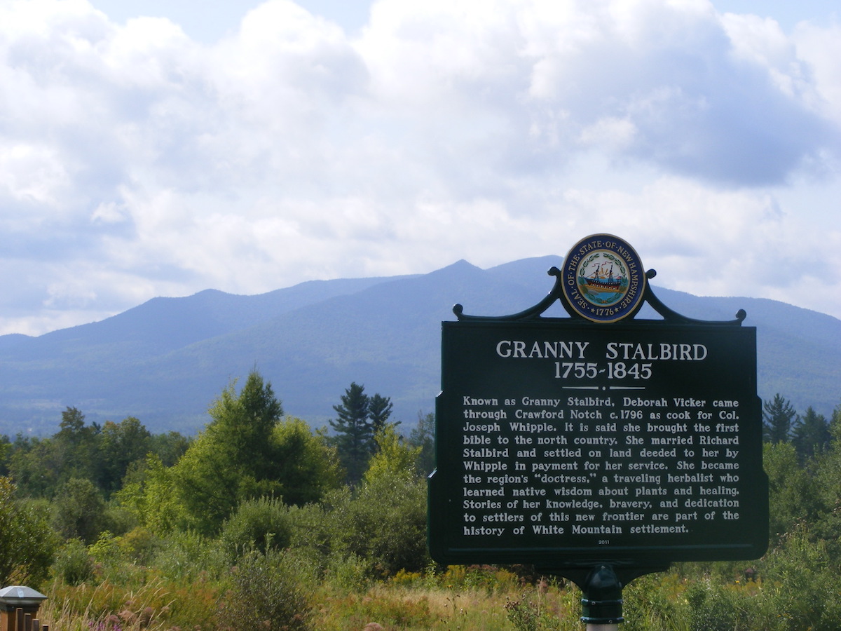
I only get up this way once a year or so, and I try to make the most of the long drive. I drove a circuitous route on the way north in order to photograph a slew of North Country historical markers. Interesting sites, interesting history!

Cog marker
On a cloudy morning, the Cog Railway track seemed to disappear into Mount Washington.
Stalbird marker with Mt Martha
That’s Cherry Mountain behind the Granny Stalbird marker in Jefferson.
City Trees Built marker
The city of Berlin on the Androscoggin River boasts four markers, each featuring a different aspect of the city’s heritage.

Mushroom season at Winant Park

A late-summer visit to Winant Park in Concord, New Hampshire brought me the sight of tall summer wildflowers blooming cheerfully by the parking lot. Once I passed the information kiosk where the trails begin, there wasn’t a blossom in sight. Instead, mushrooms were all over the place. I don’t know what’s what when it comes to fungi, so I was reduced to simple wonder at the variety of colors and sizes. A hazy day made the usual Winant vista unremarkable, but the colorful forest floor made up for that.

If you can identify these, please drop a comment below. Thank you!

Monadnock Region summer sampler

A summer Saturday, great weather, and no schedule to keep: this is as good as July gets.

pale pink rhododendron blossom
The blossoms that give Rhododendron State Park its name.

I’ve never managed to get to Rhododendron State Park in Fitzwilliam, New Hampshire during peak bloom time, which is supposed to be mid-July, give-or-take. Even so, I’ve never had a disappointing trip there. The rhododendron grove is shady and cool, with or without blooms.

I skipped the trail leading from the grove to Little Monadnock Mountain. Instead, after  a walk around the grove, I left the park via Rockwood Road to connect with the Cheshire Rail Trail at Rockwood Pond a little over a mile away.

Rockwood Road is unpaved but well-maintained, at least in midsummer. I walked the first half-mile with only a barred owl and a few tiger swallowtail butterflies for company. As I approached the pond, I passed a few houses and was passed by a few very polite drivers.

Last time I saw Rockwood Pond was on a foggy autumn weekday without another soul in sight. This time, there were picnickers at the shore and canoeists on the water. Not much traffic on the rail trail, though. In fact, the only other pedestrians I saw were in the grove at the park. Grove, road, and trail together made a great walking route for me. Bug repellent was useful.


pond with forest in the background and a dirt trail in the foreground
Rockwood Pond, Fitzwilliam, NH

A map of the area suggests to me a longer loop hike for some other day: from the trailhead in Rhododendron State Park, go uphill to Little Monadnock; follow the Metacomet-Monadnock trail northward into Troy; turn south on the Cheshire Rail Trail; then turn right (south-southwest) on Rockwood Road to return to the park.

But no long hike for me today. Instead, after my walk I drove to discover a couple of places that were new to me (even though they’re apparently very well known by the rest of the world).

  • At Monadnock Berries in Troy, I picked about three pounds of scrumptious blueberries while enjoying a prime view of Mount Monadnock.
  • The Kimball Farm ice cream stand in Jaffrey was crowded, and I could have done without the smell of fried seafood being served a few windows over. But those are just quibbles. My ice cream cone, allegedly a “mini” portion (but don’t you believe it), was perfect.
blueberry farm with mountain in the distance
Monadnock and blueberries: a great combination. Photos by Ellen Kolb.


When the temps hit 100, try the Goffstown Rail Trail

New Hampshire is having its annual heat wave. My car’s thermometer registered 104° today. It’s hot enough to make me forget for a few days that icy driveways are only a few months away. It’s even hot enough to make an indoor treadmill look appealing. But I found a good place for a half-hour walk today: a rail trail under a shady canopy of trees.

unpaved rail trail under tree canopy on a sunny day

The Goffstown rail trail was my destination today. You might have a shady refuge just like it near you. Packed stone dust underfoot, trees overhead, river nearby. All was restful and cool, until the trail crossed a power line cut and the shade disappeared for a hundred yards or so.

From the trail’s bridge over the Piscataquog River, I could see a couple of kayakers who were no doubt in for a whopping case of sunburn. Still, the river was their refuge from the heat, so good for them.

kayakers on a river with homes on the shore

As I turned around at the bridge to return to my car, a smiling bicyclist flew past me. She called back to me over her shoulder, “isn’t this a glorious day?”

Yes, it was.

More ideas: Five years ago, I made a list of five of my favorite southern New Hampshire hot-weather hikes

A short stop at Winant Park, Concord NH

I love discoveries that leave me wondering how did I not find this place sooner: this week, it was Winant Park in Concord, near St. Paul’s School. I’d seen it listed on the city’s map of area trails, but had never managed to find time for a visit until recently.

Piles of snow edged the parking lot and some stretches of trail on a late February day, but a warm week had melted a great deal of snow and left the trails muddy. There were a few other cars in the trailhead parking lot, which is easy to find on Fisk Road just off Pleasant Street.

The park is wooded, with a pair of vistas I enjoyed: a view featuring the State House dome (a view obviously preserved with diligent tree-trimming) and a view of the hills and low mountains to the south and southwest. A kiosk at the trailhead and informational signs along the trails offer information about the park’s history. The trail network is simple and well-marked.

Winant Park SSW overlook
View from a hill in Winant Park (l-r): the Lyndeborough hills, Crotched Mountain, and Monadnock peeking out from behind Crotched’s ski area.

This is an urban park, with “urban” being relative; we’re talking Concord here, not Boston. It’s not a destination park like Monadnock or Pawtuckaway. It’s an easy stop for anyone in or near Concord, though, and it’s a fine place for a quiet walk in the woods. Make a point of finding that southwestern vista, which might not be so visible once the trees leaf out.

In kindness to the trails and their maintainers, I’ll wait until mud season is over before I pay another visit here. But I will be back.

October Gallery: New Hampshire in color

This has been a muted fall in New Hampshire, which is not to say a bad one. There are brilliant trees here and there, but for the most part, this month has been dominated by gold and bronze. Here’s my October sampler, featuring Oak Hill, Horse Hill Preserve, Ponemah Bog, Craney Hill, and Crotched Mountain.

Oak Hill, Concord

It had been a few years since my last walk to the fire tower on Oak Hill. Finally, I got back there. I had been warned about wasps near the cab, but the first frosts must have nipped them.

DSCF2288.jpg
Oak Hill fire tower, Concord NH
DSCF2294
Western view of the Merrimack River valley from Oak Hill. The plume of steam is from a plant near the Concord-Boscawen town line.
DSCF2279
A small notice announces a new trail on Oak Hill, created by Concord High School students.
DSCF2281
The day’s best maple leaves, spotted along the two-mile trail leading to the Oak Hill fire tower.

Horse Hill Nature Preserve, Merrimack

The best color this fall has been in the wetlands, not the hills. A walk to the center of the Horse Hill preserve rewarded me with much brighter foliage than I’d seen just a couple of days earlier on a drive toward the Monadnocks.

fullsizeoutput_5fc
I’m amazed that the beavers haven’t abandoned this lodge so close to a Horse Hill trail. I guess hikers haven’t been disruptive.
DSCF2130
Leaf-peeping in one of my favorite spots in Horse Hill Preserve.

Ponemah Bog, Amherst

DSCF2274
The shrubs and water plants in the bog were showier than the trees.

Craney Hill, Henniker

The NH Fire Towers page on Facebook clued me in to the Craney Hill lookout tower, once a fire tower. Now, it’s open to the public two weekends a year, during foliage season. I made it to the tower just in time – last visitor on the last day!

fullsizeoutput_5f1
Craney Hill lookout tower, Henniker NH.

Crotched Mountain, Greenfield-Bennington

I didn’t stop with the Gregg Trail this time. Two friends joined me for a walk to the ridgetop via Shannon’s Trail. I owe thanks to the folks who managed to get a picnic table up there.

IMG_20171005_103243
The view from the picnic table atop Crotched Mountain: a hint of color, and distant Monadnock. And oh, that sky.