Too Much Traffic: When a Park Gets Too Much Love

I’ll start with my conclusion: if the parking lot at your intended trailhead is full, keep driving. Please.

What’s happening in my own New Hampshire town is surely happening elsewhere, as the Covid pandemic affects outdoor recreation. A recent online meeting of the conservation commission, normally an under-the-radar board, drew plenty of viewers and plenty of questions (submitted in advance by email). Topic: what’s to be done with Wildcat Falls? (Update, 2025: the property is now called the Wildcat Conservation Area.)

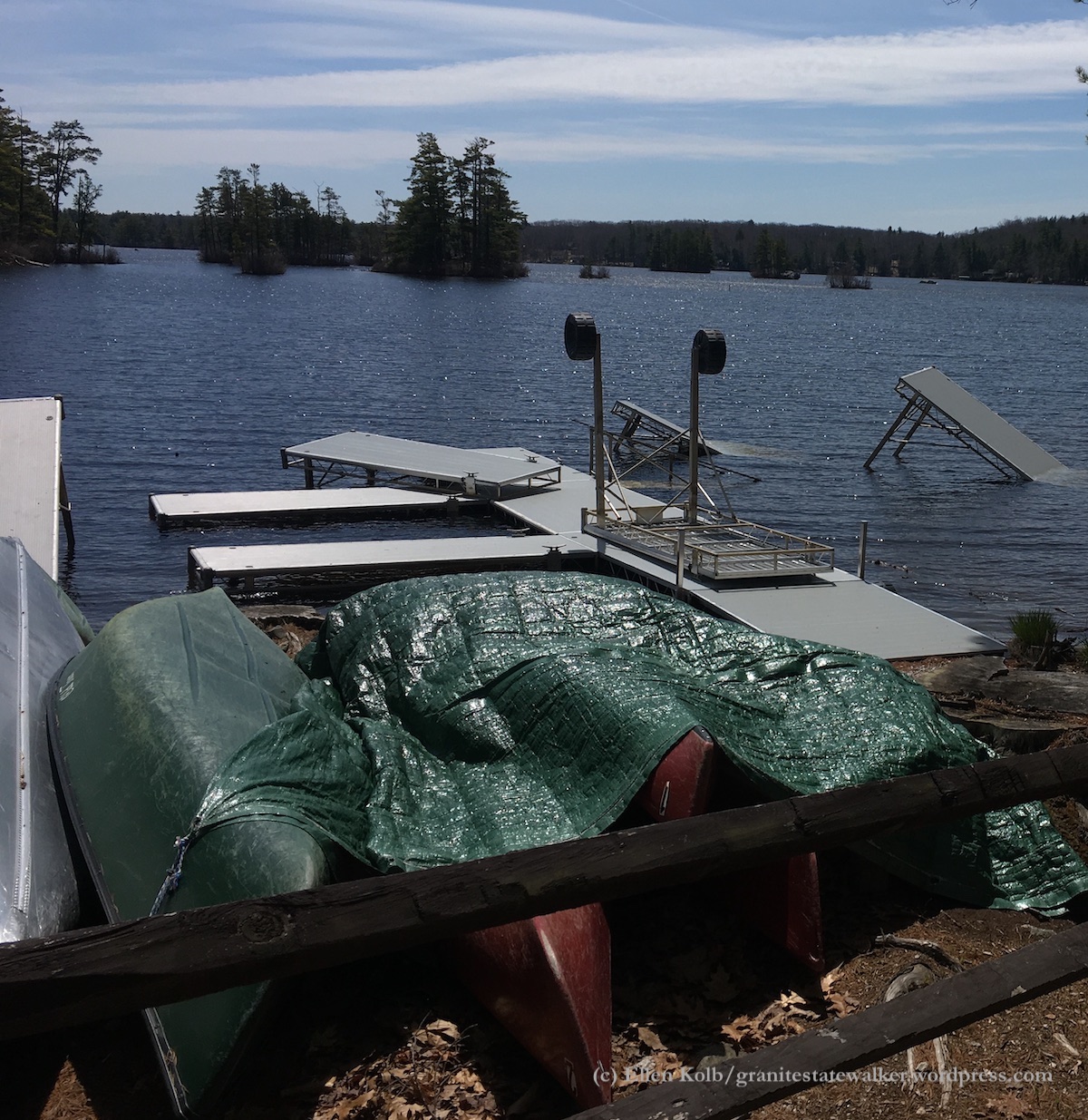
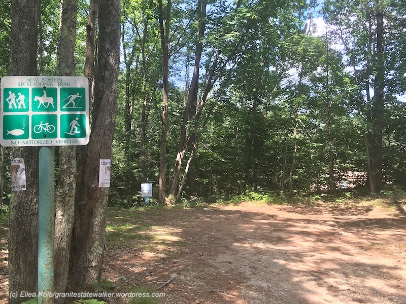
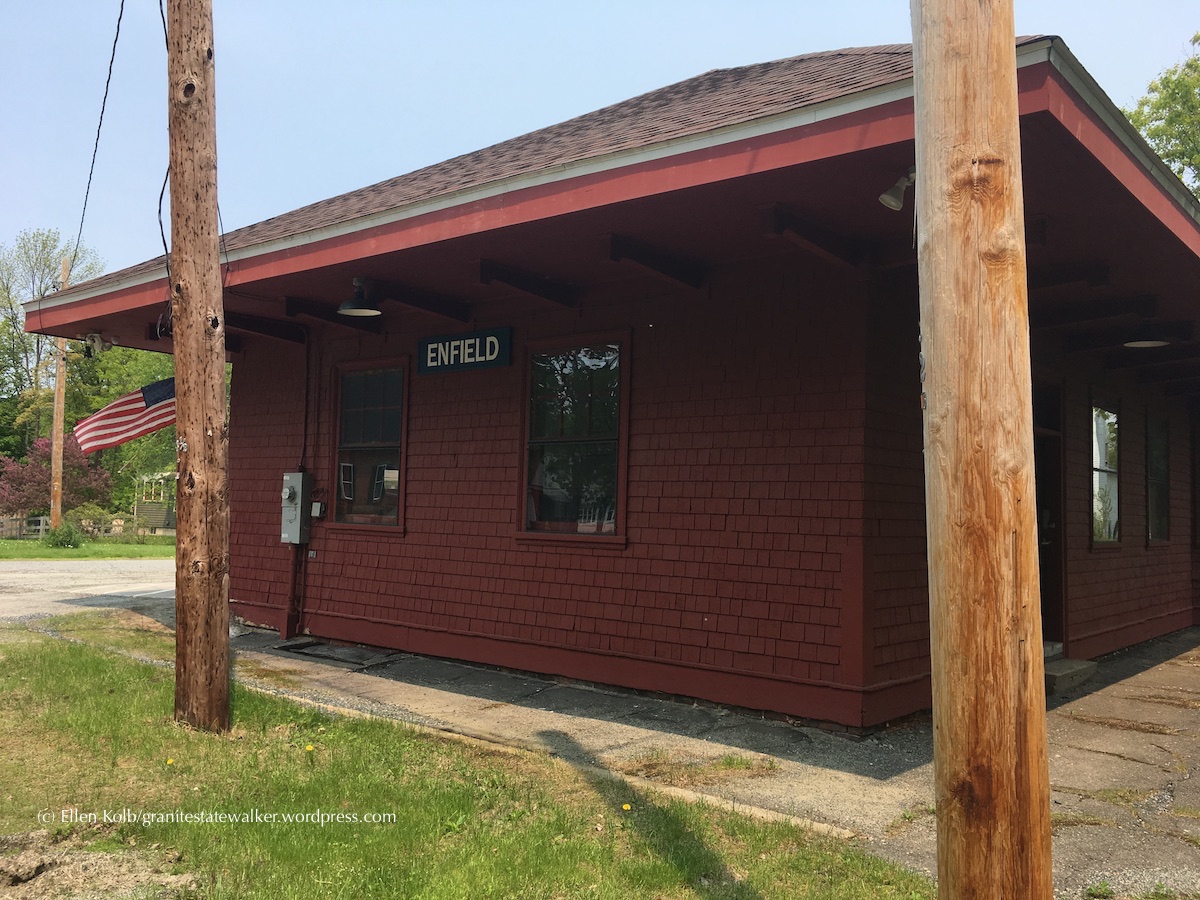
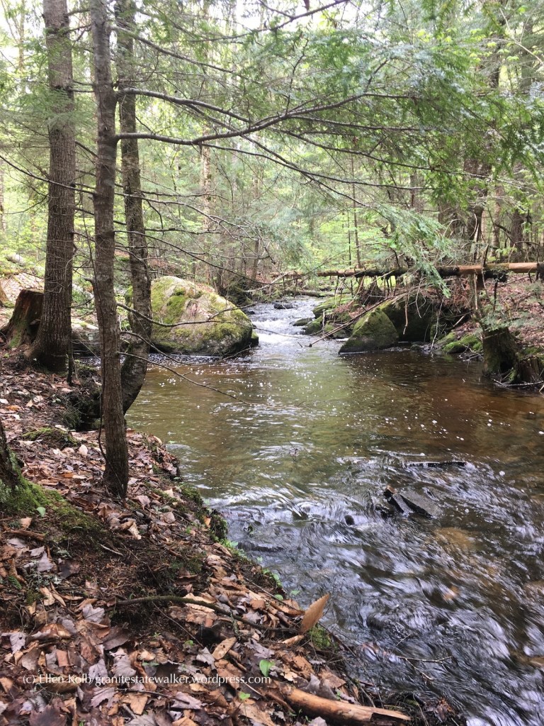
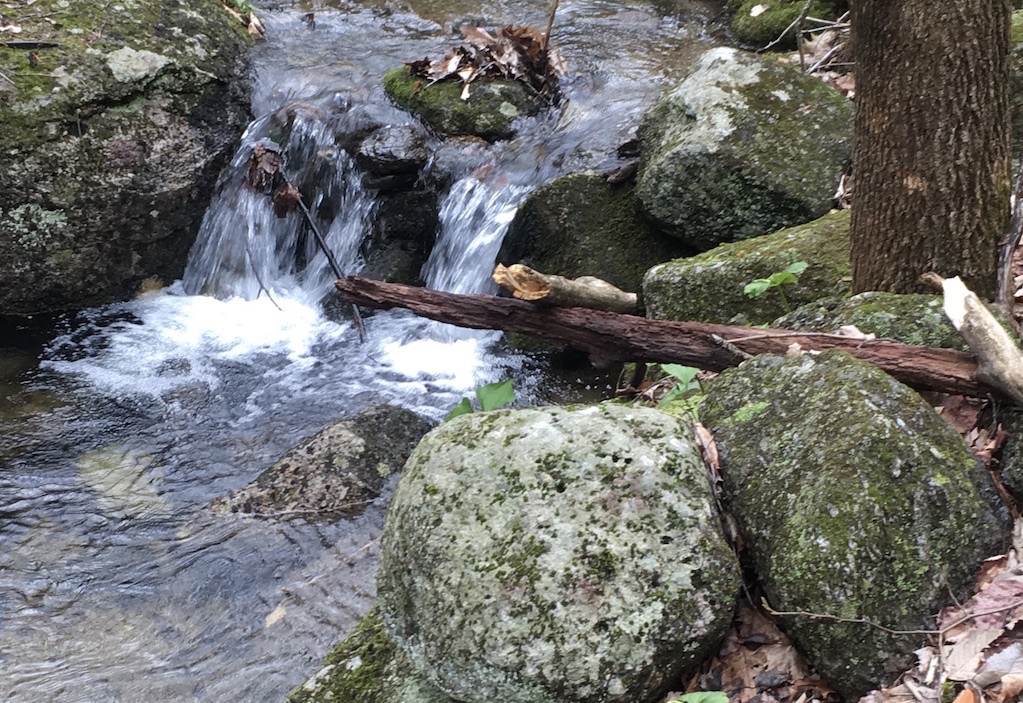
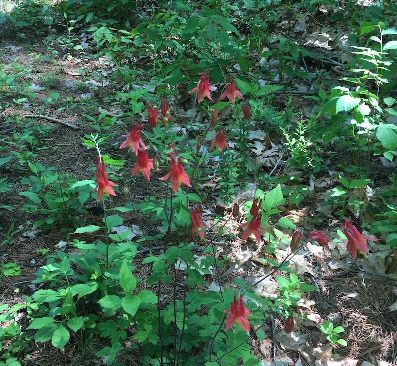
Wildcat Falls is one of the main conservation lands in town with a trail network. It’s along the Souhegan River, not far from where I live. In ordinary times, the small parking lot can accommodate the manageable number of people who come to walk their dogs, birdwatch, or enjoy sunning themselves by the falls that give the area its name.

Then came the pandemic. The neighboring state of Massachusetts has been hit much harder than New Hampshire, and accordingly has had more restrictions on recreation. So did Massachusetts residents stay home and wait for things to clear up? No, they did not. (And neither would I, in their place.) They headed over the border and discovered some of the little southern New Hampshire parks I’ve been raving about for years.

That has meant a lot more action in Wildcat Falls. Combine our visitors with the locals who already love the place, and Wildcat’s being loved to death.

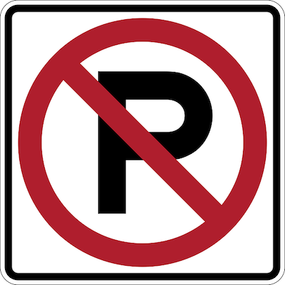
This conservation land is adjacent to a residential area. What happens when the visitor census explodes? The visitors to the conservation land park on the local streets, blocking driveways and fire hydrants, and narrowing the streets to the point where emergency access – say, by a fire engine – could be impossible.

The conservation commission meeting was specially scheduled to give people a forum to vent about the parking, noise, and public health problems created by the additional visitors. No decisions were made that evening. There were plenty of suggestions, though, ranging from “tow the cars” to “close the park.” I’m not sure from what direction a solution will come, but for now, I am avoiding the area and taking my walking shoes elsewhere.

The Forest Society is coping with the too-much-love phenomenon at Mount Major, one of their properties that is extremely popular anytime but has become a major (no pun intended) draw for people whose other recreational options have been limited. Aerial footage of the road leading to the parking lot has made me wince, with cars parked along the road as far as the eye can see.

The Forest Society, blessed with numerous properties statewide, has responded by publicizing some of its less-visited reservations as alternatives to the hot spots. Good solution.

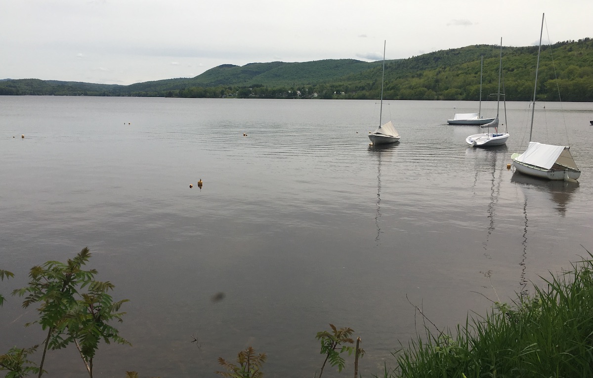
New Hampshire State Parks have resorted to a reservation system for popular spots like Monadnock and Pawtuckaway. It’s a little grating to me have to go online for a parking pass in advance, but not as grating as having the parks closed altogether – which was the situation for awhile.

I have put serious mileage on my walking shoes since the Covid pandemic began affecting our health and blowing our routines to pieces. Getting outside has been absolutely essential to keeping me on an even keel. I get it: a lot of my neighbors, including my neighbors south of the nearest border, are in the same position.

But, please…when a trailhead parking lot in a residential neighborhood is full, let’s find someplace else to go. Quite aside from public health concerns, the neighbors will be grateful.

Update: a month after I wrote this post, the Merrimack Town Council voted after lengthy consideration to close the Wildcat Falls conservation area temporarily. The area has since re-opened as Wildcat Conservation Area, and additional parking is available at Watson Park, a half-mile away by trail.

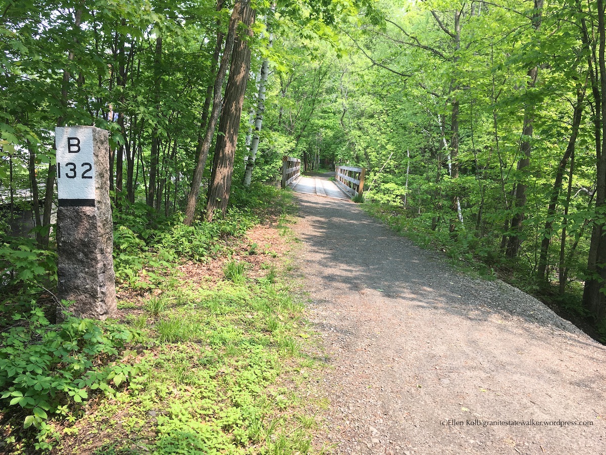
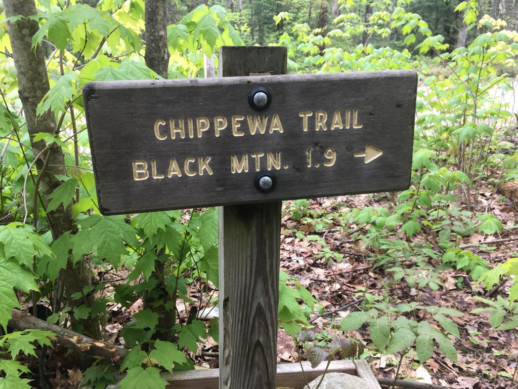
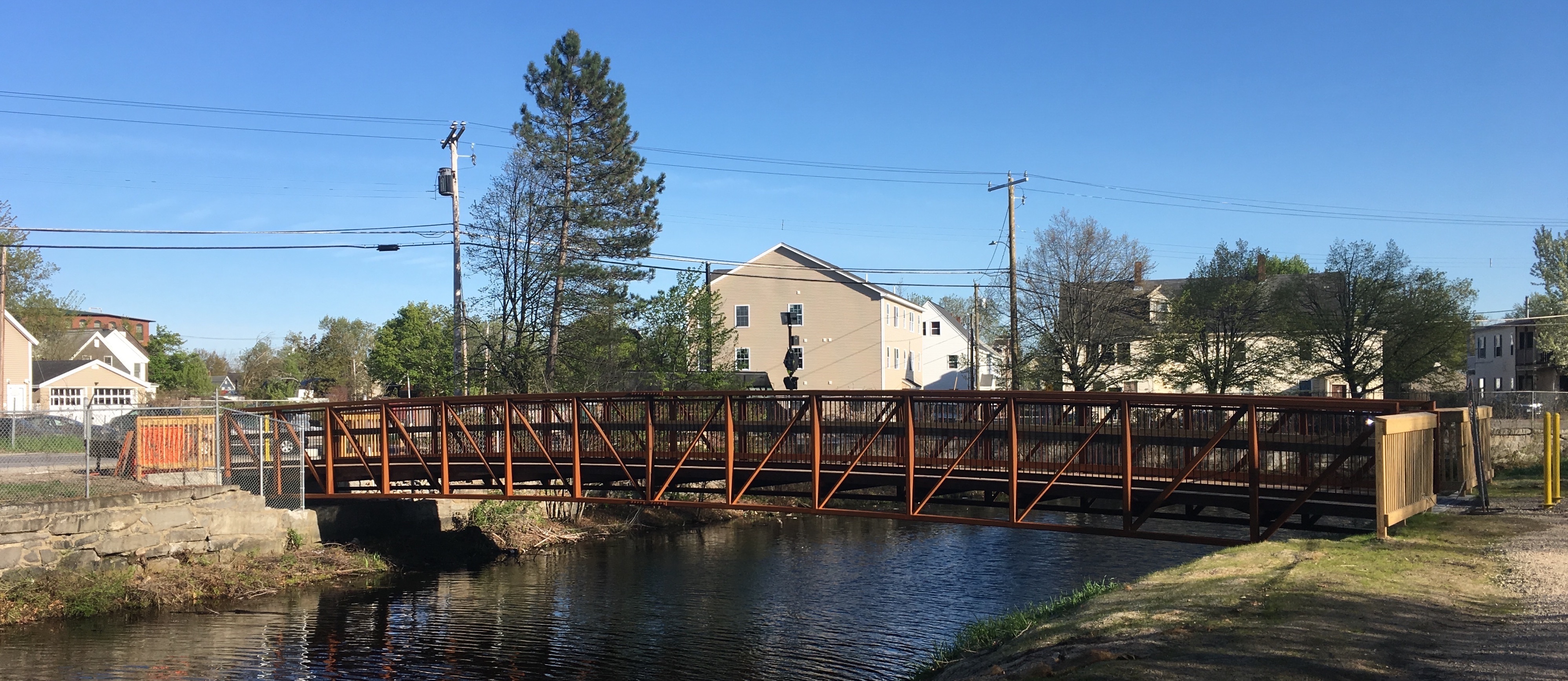
Related: I wrote Keeping It Local with some ideas for finding less-traveled trails in southern New Hampshire.

Pawtuckaway State Park in Covid time: no crowds midweek

To call this an odd spring for hiking would be an understatement, thanks to the COVID-19 pandemic. I’ve heeded New Hampshire’s stay-at-home recommendation as much as I can bear, being old enough to be considered more at risk than younger neighbors. I have a homemade mask to wear on my few outings. I’ve Instagrammed and tweeted about #homehikechallenge. I’ve walked lap after lap on neighborhood streets. Boredom finally drove me out to Pawtuckaway State Park, where I hoped the extensive trail network would allow for the social distancing we’re all supposed to observe.

Pawtuckaway State Park, NH
At boat launch, north side of park.

More than boredom got me out the door. I was afraid that state officials might suddenly close down trailheads on state property. The U.S. Forest Service recently did just that in the White Mountain National Forest, citing excessive crowding and a lack of social distancing at trailheads. The WMNF trails are open, but the trailheads and campgrounds are not. (I envision hikers being dropped in via helicopter, but that’s probably against the rules, too.)

For the moment, the state parks are open, with some new restrictions on parking in popular parks like Pawtuckaway. (See nhstateparks.org for details and current information.) On my midweek visit, the restrictions seemed to be effective, with only a couple of dozen cars parked in the lot at the main entrance. Signs were posted in the parking lot and at trail junctions advising visitors to observe good hygiene and stay at least 6 feet away from each other. No problem for me, traveling solo.

boatrentals
Boat rental area near the Pawtuckaway Lake beach is deserted during “stay at home” recommendation.

The fire tower on one of Pawtuckaway’s three little mountains usually attracts me, but it usually attracts lots of other people, too. Scratch that idea. The black flies were out, and even with DEET I didn’t relish the thought of swatting them away for a few hours in the still air of the woods. Nope. I decided on a breezy route that edged Pawtuckaway Lake: the access road from parking lot to campground to lake, then the Fundy trail northward to the boat launch and back. Jackpot.

Burnham Marsh
Burnham Marsh, late April: things are beginning to green up.

However many cars were in the main lot, I saw only about 20 people during my seven-mile walk. That’s nothing compared to Pawtuckaway’s usual crowds. The visitor center was closed, and so was the campground and the boat rental station. The lake is usually dotted with kayaks and canoes in the coves, with powerboats making a racket in the open water. Not this time. The peace and quiet, odd at first, won me over pretty quickly.

trailhead NH Pawtuckaway State Park
Fundy Trail links Pawtuckaway Lake area with north side of park.

My friends and I have been joking about the “COVID 25,” meaning the weight we’re apt to gain with all the baking and cooking we’re doing during enforced time away from our usual activities. I hike for fun, but there’s an element of necessary exercise these days as well. My Pawtuckaway route was flat except for the slightest of inclines near the end, perhaps a couple of hundred feet in the last mile. I took that mile at the briskest pace I could manage without breaking into a jog. The COVID 25 was chasing me.

stone wall
Stone walls along the way – after all, this is New England.

I was in a familiar park under very unfamiliar circumstances, feeling ease and unease all at once. It was downright weird to be on those paths with so few people. Inside me is a spoiled child impatiently stomping her foot and demanding that the world get normal again. Yet under normal circumstances, I wouldn’t have had the lakeshore practically to myself.

I stopped at one point to watch three herons for awhile. No one else was in sight. The solitude suddenly felt right. It didn’t feel imposed on me.

glacial erratic
Glacial erratics are found throughout the park, calling cards of the Laurentide ice sheet from an earlier epoch. Backpack placed at base for scale.

A Covid challenge: keeping hikes local

For my readers in New Hampshire’s southern tier, itching for recreation as the COVID-19 pandemic turns everything upside down, this might be a good time to review the nearby spots where we can walk and decompress.

Go ahead. Get out there. It’s worth the effort to find an uncrowded place to walk. Aim for solitude instead of isolation (there’s a world of difference). Social distancing is important, and some of us need to stay extremely close to home, but don’t rule out every outdoor option. Remind yourself that it’s spring, even if this seems like a crazy time. The peepers are waiting for you. The pollen may have found you already.

Can’t get out now? Plan for future hikes. The current unpleasantness is temporary.

DSCF2279
Oak Hill Trails, Concord NH
  • What are your favorite spots in your own town? Are the trailhead parking lots full?Maybe there’s a new park to discover nearby. Look up Parks and Rec or Conservation Commission on your city or town website. You may find trail descriptions and maps available for download.  Maybe there’s a newly-acquired property you haven’t heard about yet.
  • Facebook and Instagram can be gold mines of information on current trail conditions. Follow or “like” pages such as Friends of the Goffstown Rail Trail and Londonderry Trailways (to give just two examples). You might find reports that one trail is experiencing too-heavy use on a particular day, while another one five miles away is much quieter.
  • The Forest Society has more than a hundred properties statewide for you to discover. Forget the one on Mount Major, where the parking lot looks like a mall on Black Friday. That still leaves a bunch of beauties, and there’s probably one near you. Website bonus: virtual tours, where you can check out properties online and plan for future hikes.
  • There’s probably a New Hampshire state park near you. There might be some access limitations.
  • This isn’t the time to push any physical limits. First responders have enough to do at the moment without fetching injured hikers.
Stratham Hill Park, Stratham NH: a guide to what you can see from the observation tower.

Are you avoiding even solo road trips? Join the club. I’m lucky to have a walkable neighborhood: no sidewalks, but no through-roads, either. That’s where I’ve done most of my walking for the past couple of weeks. I find that a daily walk is an absolute necessity, not so much for the physical exercise as for the mental shift.

Bonus for the soul: I’m seeing neighbors I’ve never met, who are also trying to fight the shut-in feeling that comes with these days. We observe social-distance protocols. The six-foot rule does not bar smiles and greetings.

sculpture in white granite
Mbari House by Geoffery Nwogu, one of many sculptures along the trails at the Andres Institute of Art, Brookline NH. 

Traditional school’s out, gyms are shut, businesses are closed, paychecks may or may not be forthcoming, and #stayhome is trending. My walks are a refuge from all that. 

ruins of stone house in a forest
Madame Sherri Forest, Chesterfield NH

Golden Time in New Hampshire

As Octobers go, this one has been a beauty in my corner of New Hampshire. We’re in that annual golden time, post-bugs and pre-ice. Literally golden, too. The trees are glowing.

rail trail in autumn
October on Nashua River Rail Trail. All photos by Ellen Kolb.

 Pulpit Brook Trail, Bedford and Amherst

I hadn’t visited Bedford’s Pulpit Rock conservation area in years. A recent mailing from the Bedford Land Trust advised me that the Pulpit Brook trail from that property now extends into Amherst and the Joppa Hill farm. When I compare a newer map of the Pulpit Rock area to my old map from 1997, it’s striking to see how much the conservation area has been expanded with the cooperation of area landowners. I like seeing a greenway linking towns.

autumn leaves
Mid-October: some leaves are just starting to turn.

Silver Mountain, Lempster

The Forest Society’s Five Hikes in Five Weeks program led me to this unassuming little hill with fine autumn views. The drive in was a little hairy: Lempster Mountain Road is paved and fine, and from there South Road is unpaved and sort-of fine, until it isn’t. The last few tenths of a mile of road before the trailhead feature a single lane with deep ruts. It must be all kinds of fun in mud season. At least it’s dead-flat.

But after a couple of minutes of bouncing along…what’s this? A parking area with decorative stone posts. On a dirt road in Sullivan County, no less.

From the parking area, the woodsy walk up to the open summit of Silver Mountain is easy.

berries on hilltop, autumn in NH
Autumn on Silver Mountain, Lempster NH
Silver Mountain summit cairn NH
Silver Mountain summit cairn; Vermont’s Mt. Ascutney in the distance at right

Kidder Mountain, New Ipswich

Here’s another spot I hadn’t visited in ages, just off the Wapack Trail. I had hiked up to Kidder with my son about fifteen years ago, and I recalled it as another one of those easy hills with great views (like Silver Mountain, come to think of it). I’m sorry I waited so long to come back.

The summit vegetation has grown in over the past few years, but the views to the south and southeast are still satisfying. There’s a great view of the southern Wapack Range from Barrett Mountain to Mt. Watatic.

southern Wapack Range
Southern Wapack Range seen from Kidder Mountain, New Ipswich NH

On my recent visit, I shared the summit with a young family. One of the children was a boy, maybe five years old. He surveyed the Wapack Range, and announced excitedly, “I see a volcano!” His dad took the news calmly. The boy wanted a livelier response. “I see lava!” At that point, I thought okay, I’ve got to see what this is about.

Mt. Watatic
At right: Mt. Watatic, faintly marked with old ski trails that spark the imagination.

I moved a little closer to see what the boy was pointing at. It was little Mt. Watatic just across the border in Massachusetts. It had a ski area long ago, and there are still faintly-discernible ski trails. To a five-year-old, those old trails looked like lava flows. I hope I never forget the look on that little boy’s face as he watched Mt. Watatic expectantly, hoping against hope that it would blow its top and show those Monadnocks who’s boss.

Sometimes the best part of a hike isn’t the hike.

Summer: fire tower makeover, rail trail upgrade, and a life-list trip

It’s time to dig out my blaze orange gear. My favorite hiking season is at hand. I have no complaints about the season just ended, though. It was a beautiful summer in New Hampshire and beyond.

Mt. Kearsarge, Rollins State Park, Warner

The fire tower on Kearsarge was getting a serious makeover this summer, with heavy mats laid over the trail from Rollins State Park to accommodate construction vehicles. Hikers were still welcome, though. The broad ledgy summit offered its usual fine views.

Mt. Kearsarge summit, NH
view from Mt. Kearsarge summit, Warner NH. Photos by Ellen Kolb.
Mt. Kearsarge NH fire tower
Mt. Kearsarge fire tower gets a makeover, summer 2019

While I was there in July, a group of kids from a Boys and Girls Club arrived on the summit with their chaperones, having hiked up from the state park on the other side of the mountain. One boy, maybe ten years old, bounded around like a puppy. “Dude! I’ve never been to the top of a mountain before!” I suspect he’ll go in search of more.

North Country trip

Four days of car camping in August brought me to trails in Pittsburg and Jefferson and a few places in between. Ramblewood Campground in Pittsburg and Percy Lodge and Campground in Stark served as homes-away-from-home.

It’s tough to pick my favorite part of the Cohos Trail. On this trip, though, Pondicherry Wildlife Refuge in Jefferson staked a pretty strong claim. I circled the refuge one sunny afternoon, stringing together several trail and road segments to make an 8-mile loop. Once out of the woods, the view was all about the surrounding peaks: Mt. Martha to my south, the Presidentials to the east, and the Pliny Range to the north. That just might be the most rewarding flat hiking route I’ve found so far in New Hampshire.

Cherry Pond, Jefferson NH
Cherry Pond, Jefferson NH. looking toward Pliny Range.

I didn’t limit this trip to Cohos Trail segments. I discovered Second College Grant, a Dartmouth College property the size of a town, where I enjoyed a serene walk alongside the Dead Diamond River. Another day, perhaps I’ll return for a hike up Diamond Ridge.

From Stark, I took a quick drive to Milan Hill State Park to check out late-afternoon views from the fire tower. Not a hike, but still a treat.

New Boston rail trail

What a difference since my last visit about five years ago. I found the shady New Boston rail trail south of Lang Station upgraded significantly since my last visit. Trail volunteers, take a bow.

New Boston NH rail trail
New Boston rail trail, NH

I walked for the first time north of Lang Station on the trail to the Goffstown line. Very different up that way: a work in progress, or maybe just in the planning stage. I found blowdowns, mud, and at the Goffstown line, an overgrown swath separating the trail from Route 114.

Someday, if a whole lot of things work out just right, the New Boston trail will connect with the Goffstown rail trail, which already connects to the Piscataquog trail in Manchester.

Zion, Bryce Canyon, Grand Canyon: life-list material

My husband and I spent nine too-short days in Utah and Arizona in early September, where I got my first-and-maybe-last look at some of the gems of the national park system:

Zion, where temps in the low hundreds did nothing to dull the scenery…

Zion National Park
Zion National Park, Utah

Bryce Canyon, land of the hoodoos, where even a half-moon can’t blot out the stars at night…

Bryce Canyon, Utah
Bryce Canyon National Park

and Grand Canyon’s North Rim, far from South Rim’s crowds, where the sheer scale of the canyon left me speechless.

Grand Canyon
View of Grand Canyon from North Rim, Arizona

Along the way – it takes a lot of driving to see all three parks in only a few days – we found some beautiful lesser-known recreational areas: Cedar Breaks and Red Canyon in Utah, and portions of Dixie National Forest in Arizona.

As our return flight descended over the Monadnocks on the way into Manchester, I was happy to see our familiar green hills. This is home. Still, I treasure the awesome sights and beautiful places we saw out west.

Spring’s been good: a New Hampshire photo album

I had an interesting assortment of New Hampshire walks and hikes in May, due in part to work assignments in towns I don’t often visit. Weather was variable, with 80 degrees one day and 50-and-drizzly the next.

Northern Rail Trail, Enfield

I enjoyed a little piece of this long trail that stretches from Lebanon to Boscawen. Enfield’s section offered views of Mascoma River and Lake, with convenient trailside parking off Main Street.

Mascoma Lake
Mascoma Lake. All photos in this post are by Ellen Kolb.
Northern Rail Trail, Enfield NH
B is for Boston, 132 miles away via the old rail line that is now the Northern Rail Trail.
Forget-me-nots
Forget-me-nots lined the rail trail.
Former train depot, Enfield NH
When I saw the old Enfield depot, it was serving as a garage for an emergency services vehicle.

Forest Society Properties, Bethlehem and Haverhill

The Forest Reservation Challenge patch continues to elude me, even after more than two years of trying to visit all the Forest Society’s featured reservations. I haven’t given up, though. On an overcast day in May I found my way to the Dana Forest in Dalton and Bretzfelder Park in Bethlehem.

I saw on my drive north that the Presidentials and even the peaks lining Franconia Notch were veiled in clouds. It was a day for woods walks, not vistas.

Closer to Home

The woods roads in Fox State Forest in Hillsborough were deserted when I visited in May, and mud season was in full swing. I arrived armed with bug repellent and proper footwear.

Along the Nashua River Rail Trail, columbines are in bloom. I’ve noticed that more clumps of these scarlet flowers are establishing themselves here every year. Good to see.

columbines along trail
Columbines along the Nashua River Rail Trail

In Nashua’s Mine Falls Park, a new bridge is in place over the canal, although the bridge is not yet officially “open.” Once it is, the link to Ledge Street will give more families easy access to the park.

bridge in Mine Falls Park, Nashua NH
Mine Falls Park: a new bridge will soon link the park to a Nashua neighborhood.

For all the natural beauty along the Goffstown Rail Trail, there’s some historical interest as well. Whenever I walk past the old county cemetery, I stop to say a prayer and pay my respects. From a now-dead website called nh-roots.org: “In this cemetery every grave is marked with a marble slab numbered which refers to a number in the record book giving a description of the deceased.” I don’t know if that record book has been preserved. The cemetery grounds are kept mown and trimmed, which may be the only remaining earthly tribute to the memory of the people buried there.

gravestones in Goffstown NH
Along Goffstown (NH) rail trail: county farm cemetery, located near the present-day county complex.