An hour’s free time let me string together a Mine Falls path with the Nashua Heritage Rail Trail to make a pleasant loop for an afternoon walk.

Once upon a time, the railroad line that’s now the Heritage Trail was on the same line that became the Nashua River Rail Trail. It’s not likely that the two trails will ever connect again, what with the Everett Turnpike and a few decades of real estate development in the way.
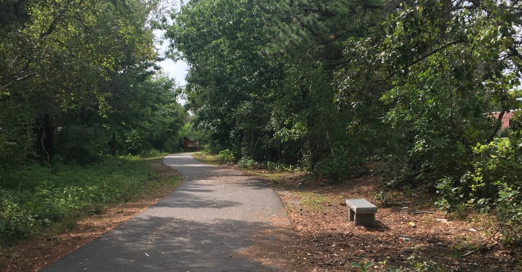
Today, the paved Heritage Trail parallels West Hollis Street from City Hall to just short of Simon Street. There are numerous road crossings and congestion through the Tree Streets behind City Hall. To the west, the trail is quieter. There’s a sign along the way indicating where to veer off to get to the 7th Street entrance to Mine Falls Park.
Mine Falls Park, as ever, was a beautiful place to visit. The cove’s water level in this drought-stricken season was lower than I’ve ever seen it. Even so, the park’s woods and waterside plants were irrepressibly lush.

How To: A bit of road walking was involved in the loop. I parked on Whipple Street, walked up Simon Street to Will Street – watching out for the tractor-trailers on their way to the nearby UPS depot – and then picked up the Heritage Trail on the sidewalk. When I got to the sign on the trail pointing me to Mine Falls’ 7th Street entrance, I turned onto 7th Street and followed it across Ledge Street to the park entrance. I turned left at the canal and kept walking back to the Whipple Street entrance. A little shy of 3 miles, all told.

