Sunny day, with ladyslippers

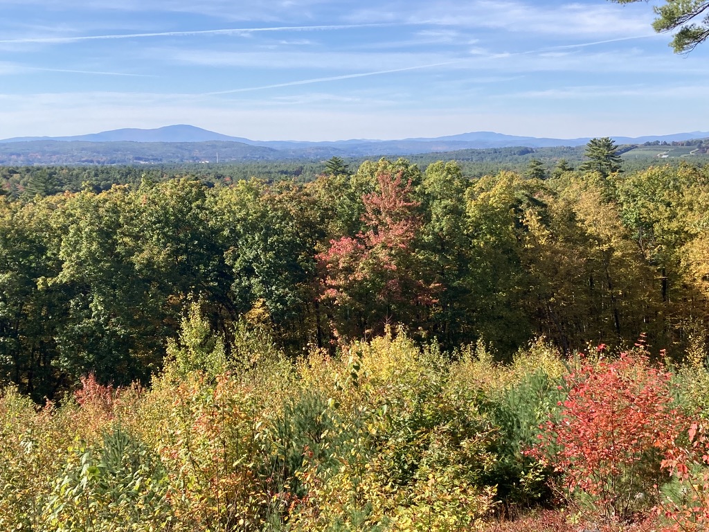
This spring’s weather in southern New Hampshire has been somewhat uneven, which means “normal,” which means rainy days and 80-degree days and near-freezing nights. (Not all at once.) Most weekends this season have had inclement weather of one sort or another.

When the forecast last weekend mentioned a sunny Sunday, I knew what I’d be doing after church. Off with the dress shoes, on with the hiking gear. I headed just over the county line for eight good miles on the Rockingham Recreational Trail.

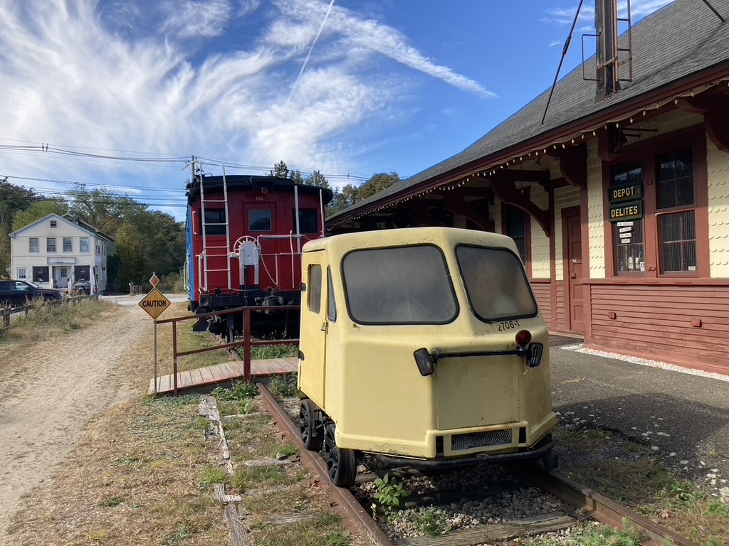
One thing I like about this trail linking Manchester and the Seacoast region is the choice of trailhead parking areas. This time I parked in East Candia, where the trail crosses Depot Road. (Here’s a tip: anytime you see a Depot Road in a New Hampshire town, keep your eyes open for a rail trail.) There’s a parking area there that’s unpaved but well-maintained, with room for a dozen cars or so.

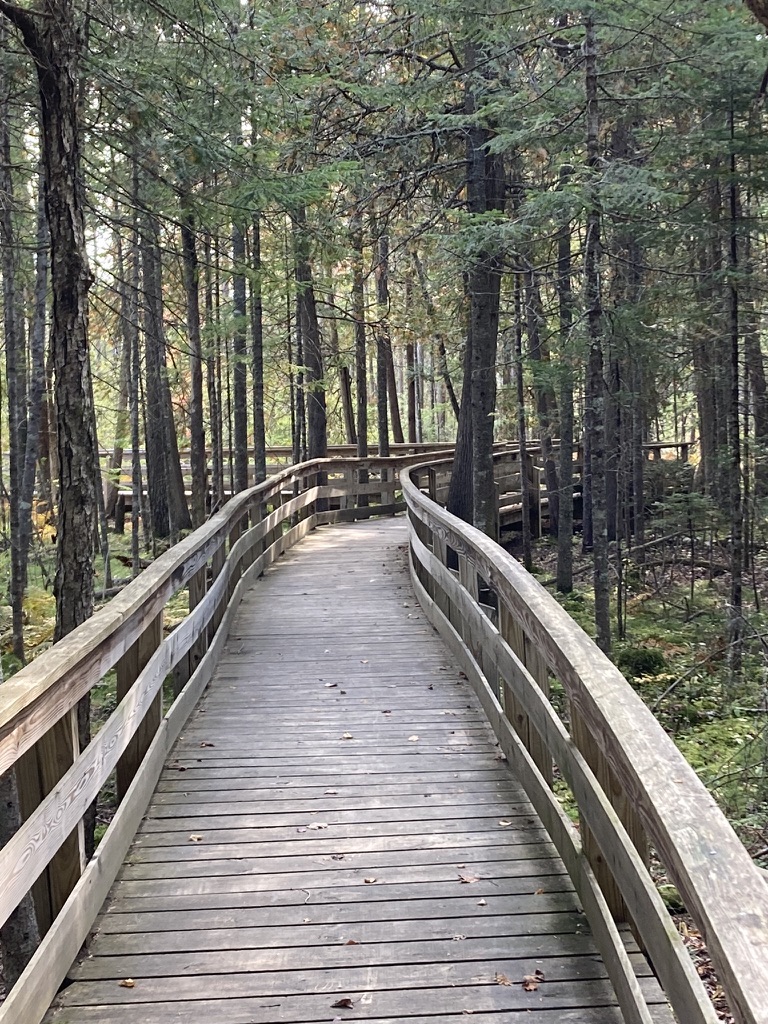
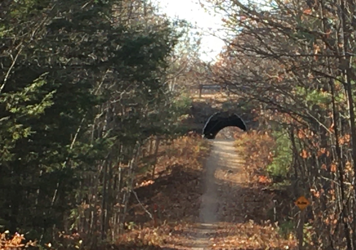
Another thing I like is the trail’s shade. Mixed hardwoods have leafed out, and along with hemlocks and pines they create a kind of canopy along the trail.

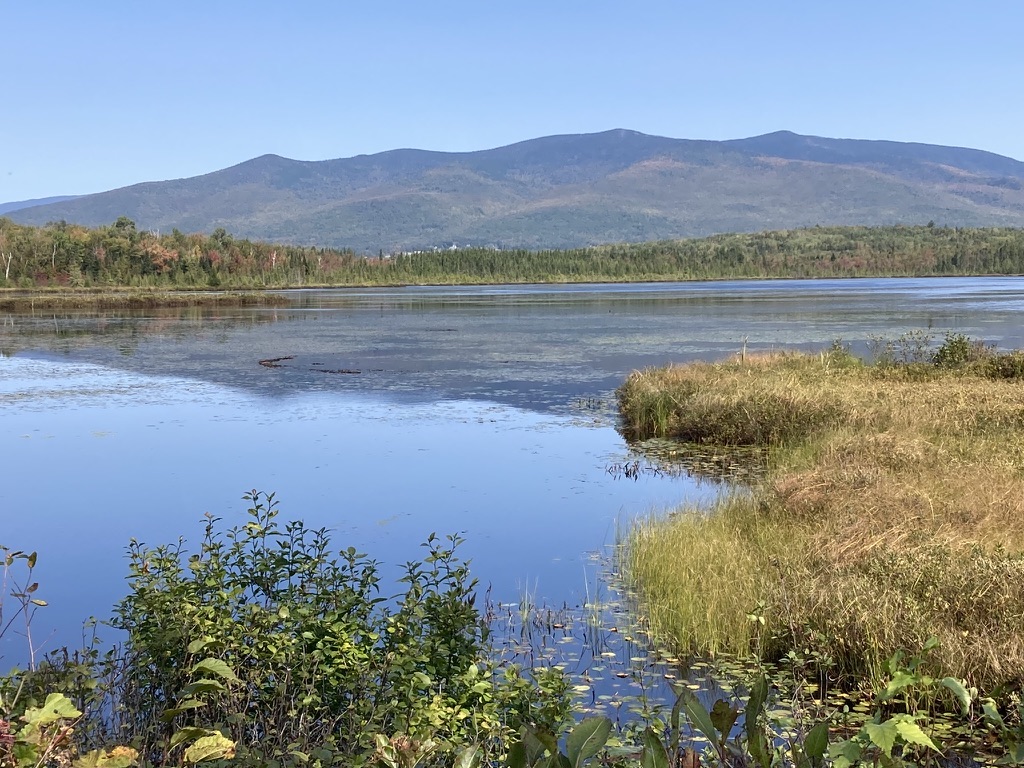
I headed east for a few miles and stopped for a snack at a trailside picnic table by Onway Lake. Not too far away was the day’s prime photo op: ladyslippers in profusion! These were a deeper pink shade than the ones I’ve seen closer to home. Always beautiful, whatever the color. Within a couple of weeks they’ll disappear, to return next spring or perhaps the spring after that. I happened to catch them at the perfect time. No picking them or digging them up! They’re highly site-dependent and don’t take kindly to changes of venue.

a clump of pink ladyslipper flowers growing along a hiking trail
Pink ladyslippers, making their brief appearance. Ellen Kolb photo.

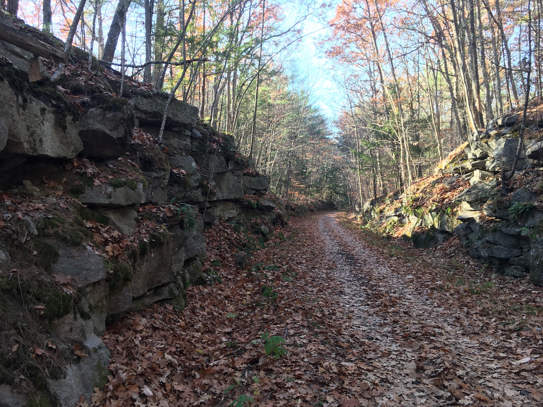
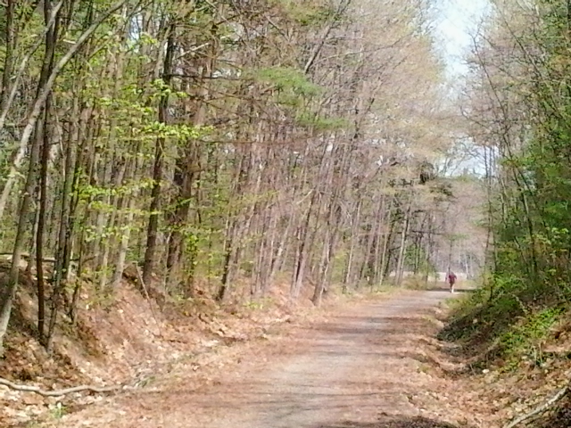
I retraced my steps to my car, dropped off my fleece pullover, and then headed west. That section of trail had a different look from the section I’d been on earlier: wider, a bit smoother, more residential buildings nearby. I like the modest rock cut in that western section, blasted into shape when the old rail line was laid. Such cuts testify to the effort it took to lay rails in the aptly-named Granite State.

Everyone I encountered on the trail was in good spirits, and why not? It was a rare sunny weekend day, and a holiday weekend to boot. I greeted a few runners and walkers, who were far outnumbered by cheerful courteous cyclists. I like a good hearty “passing left!” when I’m approached from behind by someone on wheels.


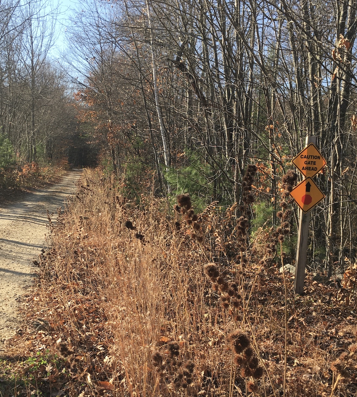
A few notes on the Rockingham Recreational Trail section I visited, centered in East Candia: as I mentioned, the parking area on Depot Road is unpaved but in good shape. No toilet facilities are available. Carry snacks and water; the closest place along the trail with coffee and fast food is further east in a commercial area of Raymond. The trail is unpaved, and it’s full of the stones and roots typical of this area. If your mobility is impaired to any degree, you might enjoy the relatively smooth and wide two-mile section of trail extending west from Depot Road. No ATVs or class III e-bikes are allowed.

When you’re ready to explore this or any other trail in New Hampshire, remember to defend yourself against ticks and mosquitoes. I use permethrin on my hiking clothes and DEET on exposed skin. Lyme disease and its nasty cousins are illnesses I want to avoid.

There are two Rockingham Rec Trails in New Hampshire, which can be confusing. It’s a heritage from the route names in railroad days. For this walk, I was on what’s called the Portsmouth branch, which goes between Manchester and Newfields but not quite all the way to Portsmouth. There’s a separate Fremont branch that extends from Windham Junction to Epping, where it meets the Portsmouth branch. If you decide to explore the Fremont branch, be aware that you’ll sharing the path with ATVs between Windham and Fremont.

If you enjoyed this post, I hope you’ll consider supporting the Granite State Walker blog. Thank you!

Living color

This been a magnificent autumn in New Hampshire, and I’ve tried to make the most of it. Even now, with the foliage faded and fallen, I love the season. There’s no better time for a walk on a New Hampshire trail, whether it’s a ten-minute respite from the day’s work or a full day on a long trail.

Two views of Mt. Kearsarge

One afternoon in early October, I headed to Concord’s Oak Hill trails. I should’ve known what to expect: I-93 southbound was jammed with leafpeepers coming home from the North Country, where foliage at that time was at its most colorful. I figured Oak Hill, with colors just beginning to change in the Concord area, would be quiet. Nope: I had to squeeze my little car into about three-quarters of a space in the Shaker Road lot. I knew right away that the path to the fire tower would be busy, and I wanted some solitude. Fortunately, Oak Hill offers several miles of paths from which to choose. I went to an old favorite – a little ledge with a bench and a nice view toward the west featuring Mt. Kearsarge’s distinctive gentle profile.

Three weeks later, autumn in south-central New Hampshire was in its glory. The Craney Hill fire tower in Henniker, which is decommissioned and usually closed to the public, was going to be open for a day or two. I learned about the opportunity only a day in advance, and I wasn’t about to miss it. Weather was perfect. The drive to Henniker along Route 114 was the stuff of picture postcards. From the cab of the tower itself, the region’s foliage stretched out for miles – and there to the north was Mt. Kearsarge again, layered in colors, topped with the evergreens that reach almost to the summit ledge.

I think the town of Henniker has custody of the Craney Hill tower, and the once-a-year public accessibility relies on volunteers and support from visitors.

A change of plan

As I reported earlier, I had planned to join a group of supporters of the Light of Life shelter in Manchester for a 13-mile walk on the Rockingham Recreational Trail. Unfortunately, due to circumstances beyond my control, the event had to be cancelled. I decided to walk the 13 miles anyway, on a modified route. Four hours-plus on that familiar trail in foliage season? Yes, please. Besides, a generous donor to Light of Life had sponsored me.

The trail goes by Onway Lake in Raymond. The woods surrounding the lake provided a fine payoff to a long morning’s work.

autumn foliage reflected in a lake in New Hampshire
Onway Lake mirrored the foliage on an October morning.

And here’s the track my GPS app made of my walk through Candia and Raymond, out and back.

Screenshot

I managed to spend nearly five hours on the way because I dawdled at Raymond Depot, where I found an open house being held by the local historical society, and I also stopped at the one and only Dunks along the way for some caffeinated refreshment. Every minute of the day was a gift.

Postscript to summer

Here’s the long-awaited coda to my efforts in August and September to complete the Cross New Hampshire Adventure trail: I finally got the job done, in spite of the pesky osprey that tried to discourage me. Neither birds nor ballast nor lack of money for shuttles could keep me from exploring XNHAT from end to end. The trail attracts bicyclists from near and far, but I was happy to walk, even though it meant walking each segment out-and-back. (I’d gladly do the Pondicherry section out-and-back anytime.) For the finale in Shelburne and Bethel, my wonderful husband served as my shuttle driver. He patiently rode his bike while I paced off the last few miles.

I just might dedicate a long post to the whole darn trail someday. It’s a treasure. I am sporting the finisher’s patch on my fleece jacket, not sticking it in a scrapbook with my other hiking patches. This one is going public so that people will ask me about it, which will give me a chance to tell them about the trail.

The Granite State Walker is a big fan of XNHAT.

Walking for a cause

Update, October 2024: Due to unforeseen circumstances, the formal fundraising walk for Light of Life has been put off until 2025. That’s not going to stop me from walking the 13 miles anyway on October 19, the date originally planned for the event, as described below. Long solo hikes suit me well.

I interrupt my trip reports to invite your support as I walk in late October to raise funds for Light of Life, an agency providing emergency shelter and transitional housing for women in Manchester NH. The agency’s annual fundraising walk is on the delightful Rockingham Recreational Trail between Manchester and Newfields. I’m aiming for 13 miles on what’s sure to be a fine autumn morning. If you’d like to donate, please go to this link, with my thanks: https://secure.qgiv.com/event/lighthouse50/account/1808092

Ellen Kolb, a woman walking on a leaf-covered trail.
The Granite State Walker at #Lighthouse50, 2023. Photo by an unidentified event participant.

Fall’s first half

My autumn began with a trip upstate as the leaves began turning. As October ends, I’m near the Massachusetts border, where red and orange foliage has yielded to gold and bronze. The sunlight through the leaves these days creates a glowing aura around everything.

First stop: North Country

Three days on the Ammonoosuc and Presidential trails in early fall added up to 30 miles of walking for me, punctuated with unexpected meetings. Amazing, the encounters I’ve had walking through New Hampshire.

The Ammonoosuc trail follows – you guessed it – the Ammonoosuc River. While checking out the three newest miles of the trail east of Littleton, I met a couple I know from the NH Rail Trail Coalition. We were pleased to see that the new section, between Cottage Street and Oxbow Drive, has a great surface that will be especially helpful to anyone biking the Cross New Hampshire Adventure Trail. The following day, I met up with yet another NHRTC colleague while on a gravelly Ammonoosuc stretch between Lisbon and Bath. That surface is in the process of being upgraded from gravel to a smoother crushed stone. Can’t happen soon enough, as far as I’m concerned. My feet took a bit of a beating that day. I gave them a rest as I ate my lunch under the picturesque Bath covered bridge.

I was in the Pondicherry Wildlife Refuge a few months ago, when Joe-Pye weed and Queen Anne’s lace were blooming all along the Presidential rail trail. When I returned in early fall, nearly all the blossoms were gone, except for a couple of hardy little asters holding out against the equinox. Milkweed pods had burst and left their seeds floating across Moorhen Marsh. Frost had nipped the north country and its mosquitoes, making the walk to Cherry Pond even more pleasant than usual. My last view of the pond had been when it was covered with water lilies. This time, the pond was a mirror for Mt. Starr King and the Pliny Range.

If I were to search this blog’s sixteen years of posts, I’d probably find a dozen photos of the views from the Cherry Pond observation deck. Even when I know I’m standing in the same place and pointing the camera in the same direction as I did on an earlier walk, I’ll get a unique image: different light, different season, different shades of earth and sky.

Cherry Pond in the Pondicherry Wildlife Refuge, on the Presidential Rail Trail, Jefferson NH.

I decided to re-visit Mud Pond trail, also in the wildlife refuge but north of Cherry Pond, with its trailhead off of NH Route 116. I was there some years ago when it was brand-new and awaiting finishing touches. Now, it’s a small gem. Bonus: it’s designed to be accessible to anyone in a wheelchair, with switchbacks and boardwalks and easy grades along its half-mile length. It ends at Mud Pond, which really deserves a better name even though it looks unremarkable. It’s pretty and peaceful, and the observation deck must be a birdwatcher’s dream.

The trail to Mud Pond in Jefferson is designed for maximum accessibility, leading to a good spot for birdwatching.

Walking for a cause

Mid-October, I walked 13 miles on the Rockingham Recreation Trail in Auburn, Candia, and Raymond with a group raising funds for the Light of Life shelter in Manchester. We couldn’t have picked a better October day. From a foggy sunrise over Lake Massabesic all the way to full midday sunshine in Raymond, I enjoyed good company.

I hadn’t passed by the old Raymond Depot in awhile, and it was fun to see it again. The littlest rail car – I call it a putt-putt, though it probably has a more dignified name – always looks a little lost on the siding, dwarfed by the more conventional rail cars nearby. They’re all part of the old rail line’s history, so they all belong there.

One piece at a time

Just a few days ago, I attended a ribbon-cutting for a trail in Salem, New Hampshire. A trail segment, to be more precise. A 300-foot segment, if you must know.

Okay, let the eye-rolls commence. But I drove the better part of an hour to be there, because getting that segment finished took years, and I wanted to thank the people who had made it happen. This is the Salem (NH) Bike-Ped Corridor at the Massachusetts state line. Its significance: it’s the south end of what will someday be the Granite State Rail Trail extending from Salem all the way to Lebanon, just this side of Vermont.

A piece of the Salem trail is already in use further north of the newly-christened segment, extending into Windham and Derry. This is the same old rail line that includes what’s now the Londonderry rail trail, which will someday connect with the South Manchester trail, which will someday connect with yet-to-be-built trails in Hooksett and Bow and Concord, finally connecting with the Northern Rail Trail that’s already complete from Boscawen to Lebanon.

This is how long trails are built, whether they’re remote or urban, flat or mountainous: one piece at a time, even if some of those pieces are only be 300 feet long. Over time, those pieces add up.

I seldom get to Salem, so I spent time after the ribbon-cutting ceremony walking south along the Bike-Ped corridor into Methuen, Massachusetts. It was easy to ignore the traffic noise from nearby heavily-developed Route 28. Instead, I concentrated on the sights, sounds, and fresh clean smells of the wetlands and pocket parks along the way.

“Past peak,” say the foliage reports. Don’t you believe it.

A trailside vine shows off its mid-autumn colors.

Close to home, summer pours in

Only last year, we were concerned about drought in my region. I loved the dry trails throughout summer and fall, but then there was an uneasy November afternoon when a fire behind my house crept through dry duff and brush up to the edge of my yard. (My town’s firefighters did a fine job that day, which is pretty much what they do all the time.)

I’m not anticipating any such excitement this year, at least not in early summer. June has brought rain and lots of it. Maintenance of unpaved trails has been a challenge. Trailside vegetation is growing lushly in defiance of mowers and weed-whackers. My supplies of permethrin and DEET will need replenishing before the season’s out, since pests like ticks and mosquitoes love this sort of environment. And you know what? I’m fine with all of that.

Mountain laurel and sheep laurel are having a magnificent year. Even the buds were beautiful, giving me a week’s notice of the bounty to come.

Close-up of mountain laurel shrub with white blossoms and flower buds.
Mountain laurel, in bud and bloom. Photos by Ellen Kolb/Granite State Walker. This and other photos on the site may be reproduced unedited with attribution.

The Souhegan River sure looks good after last year’s low levels. It has stayed within its banks so far. I love being able to hear the river as I walk through my neighborhood! Last year, it made barely a sound as flowed by slowly. Wildcat Falls, within one of my town’s conservation properties, has been worth several visits this month.

River flowing over rocks, creating small waterfalls
Souhegan River at Wildcat Falls, southern NH, June.

Several factors have kept me close to home lately, but I’m enjoying plenty of good walks. I went back to the Andres Institute of Art in Brookline to see what was new on the trails. This unique venue is set up on what was once a very tiny ski area. What used to be ski trails are now walking trails, with sculptures around every turn. New sculptures are installed every year, created by a variety of artists from all over the world. There’s no visitor’s center, but checking the website at andresinstitute.org will help orient the first-time guest. One of my favorite places on the site is at the modest summit. “Phoenix” by Janis Karlovs of Latvia adorns the view to the west.

Outdoor sculpture titled "Phoenix" on a New Hampshire hill with a ridge of hills in the distance.
At the Andres Institute of Art in Brookline NH, sculptor Janis Karlov’s “Phoenix” seems to point to the Wapack Range in the distance. Note the rain clouds that characterized this rainy June.

Rain has left the Rockingham Recreational Trail in Auburn soft but not too muddy. The walk eastward from the Lake Massabesic parking lot is one of the best quick lunchtime getaways that southern New Hampshire has to offer. Midweek is ideal. On the edge of New Hampshire’s largest city, sometimes within sight of busy route 101, the trail is a place of quiet refreshment for me. Wild roses were blooming as I walked through recently. I caught the fragrance before I saw the blossoms.

Unpaved rail trail in New Hampshire with wild roses growing along the edge.
Along the Rockingham Recreational Trail in Auburn NH, you’ll catch the fragrance of trailside roses before you see them.

That’s not too bad for a rainy June. I could stand a little more sunshine, but summer is young. Clearer days are ahead.

Fall day in Candia

I drove down Depot Road in East Candia a little slowly, wondering if I’d be able to find the parking lot where the Rockingham Rail Trail crosses the street. I needn’t have worried; the nearly-full lot was impossible to miss. That’s nearly full. I tucked my car into one of the few open spots.

East Candia New Hampshire railroad depot sign
No depot building here, but a sign marks the spot where a depot once stood. All photos by Ellen Kolb.

The lot was a busy place. Couples and singles and families were taking bikes off racks or putting them back on. Hikers were setting out, many sporting seasonal blaze orange vests. It was as warm a day as November ever brings, and everyone wanted to take advantage.

Pick a direction: should I go east into Raymond, or west through Candia? Seeing several parties setting off to the east, I wished them well, and then turned my back to them to walk west.

rail trail granite walls
Rock cut along Rockingham Rail Trail, East Candia NH.

The Rockingham Rail Trail between Manchester and Newfields is more than 20 miles long. It’s a piece-at-a-time endeavor for a walker. I picked a winner of a day to amble out-and-back on a three-mile segment in Candia.

Temp in the 60s: what kind of November is this? Sunshine, few clouds, air as dry as could be.

There were more bicyclists than walkers on the trail. That didn’t mean walkers were overwhelmed; traffic was light to moderate. The few walkers kept their cheerful distance as we passed each other with smiles and nods – you stay on your side and I’ll stay on mine, we seemed to be saying.

Where houses were visible as I approached Main Street, the sounds and smells of a sunny late-autumn weekend took over: raking, leaf-blowing, the last round of mowing for the season, a carefully-tended fire to burn the clippings.

New England rail trail autumn
A sign along the way hints at the winter traffic to come.

My turnaround point was Route 43, or more precisely the tunnel under the ramp linking 43 with Route 101. The parking lot in East Candia was nearly deserted when I returned. I decided to spend a little time walking toward Raymond, but I was racing the sunset: after half a mile, I returned to my car.

I think I saw the trail at its most inviting for walkers. Once the snow flies and piles up, the Rockingham Rail Trail will become a snowmobile corridor. Until then, all you need there is your bike or your walking shoes.

My turnaround point. West of Candia, the trail continues through Auburn into Manchester.