Hollis, NH: Buffalo, Tough Cookie & Beaver Brook

Dan Szczesny, readying his slide show
Buffalo and Tough Cookie cover
cover of B&TC’s book

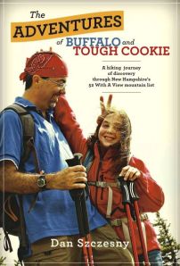
I got to shake hands today with a pair of hikers I’ve been wanting to meet. Dan Szczesny and his hiking partner Janelle are better known in the blogosphere as Buffalo and Tough Cookie. They were at the Hollis, New Hampshire library today with a slide show about their book, The Adventures of Buffalo and Tough Cookierecounting their year-long quest of New Hampshire’s “52 with a View.”

And just what might 52-with-a-view mean? I had never heard of such a list before discovering Dan’s blog. The only New Hampshire hiking list I had heard of was the 48 4000-footers. 52-with-a-view is a creation of the Over The Hill Hikers of Sandwich, New Hampshire who compiled a list of fifty-two peaks under 4000′, each featuring good views.

The audience in Hollis today consisted of an energetic group of kids who knew more about basketball than hiking. Dan didn’t worry about getting through the whole slide show as planned, cheerfully adapting his presentation to the everyone’s questions and comments. If he and Tough Cookie come through your area for a book signing or slide show, make a point of stopping by. You’ll enjoy the conversation and the wonderful photography.

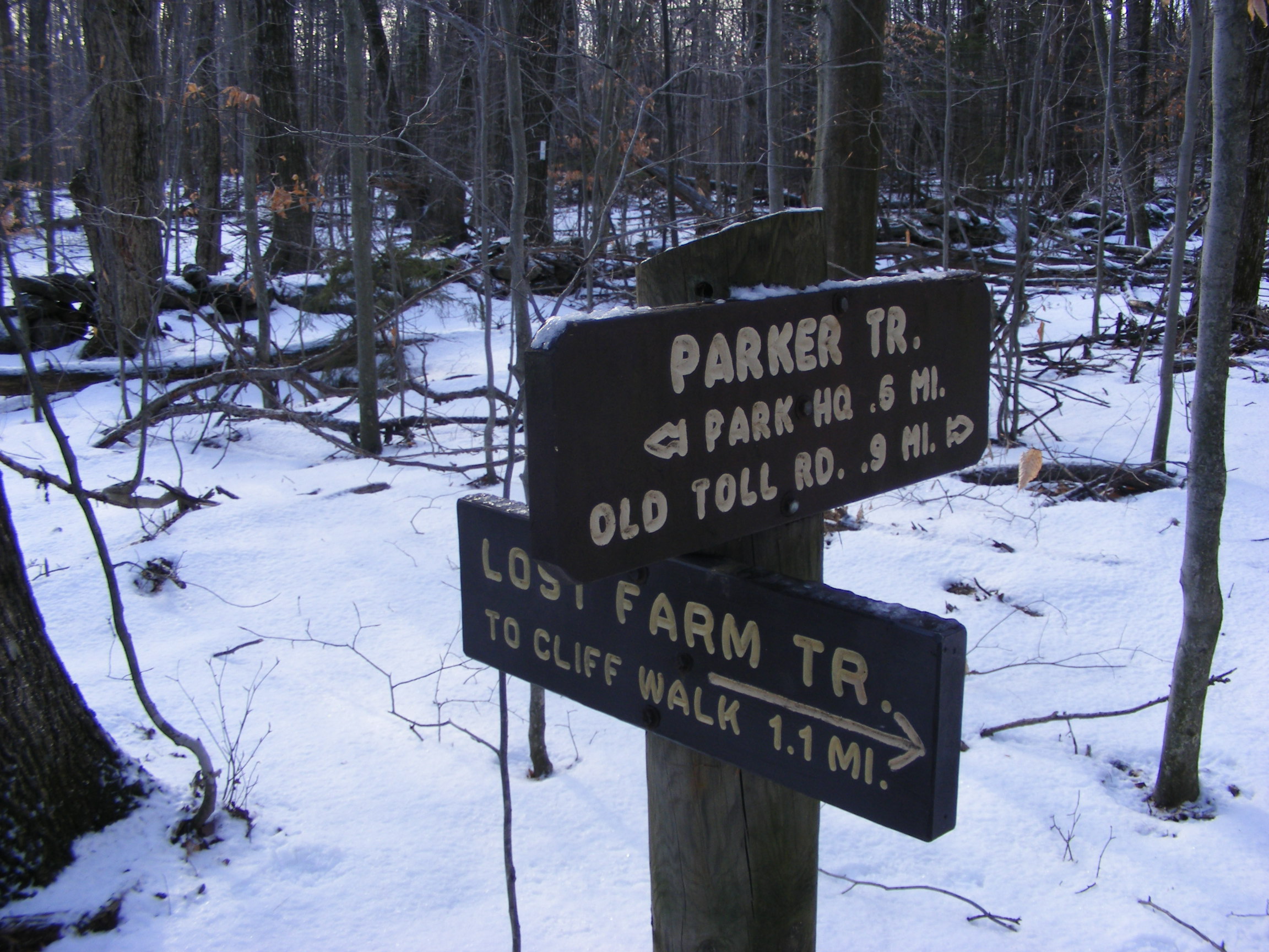
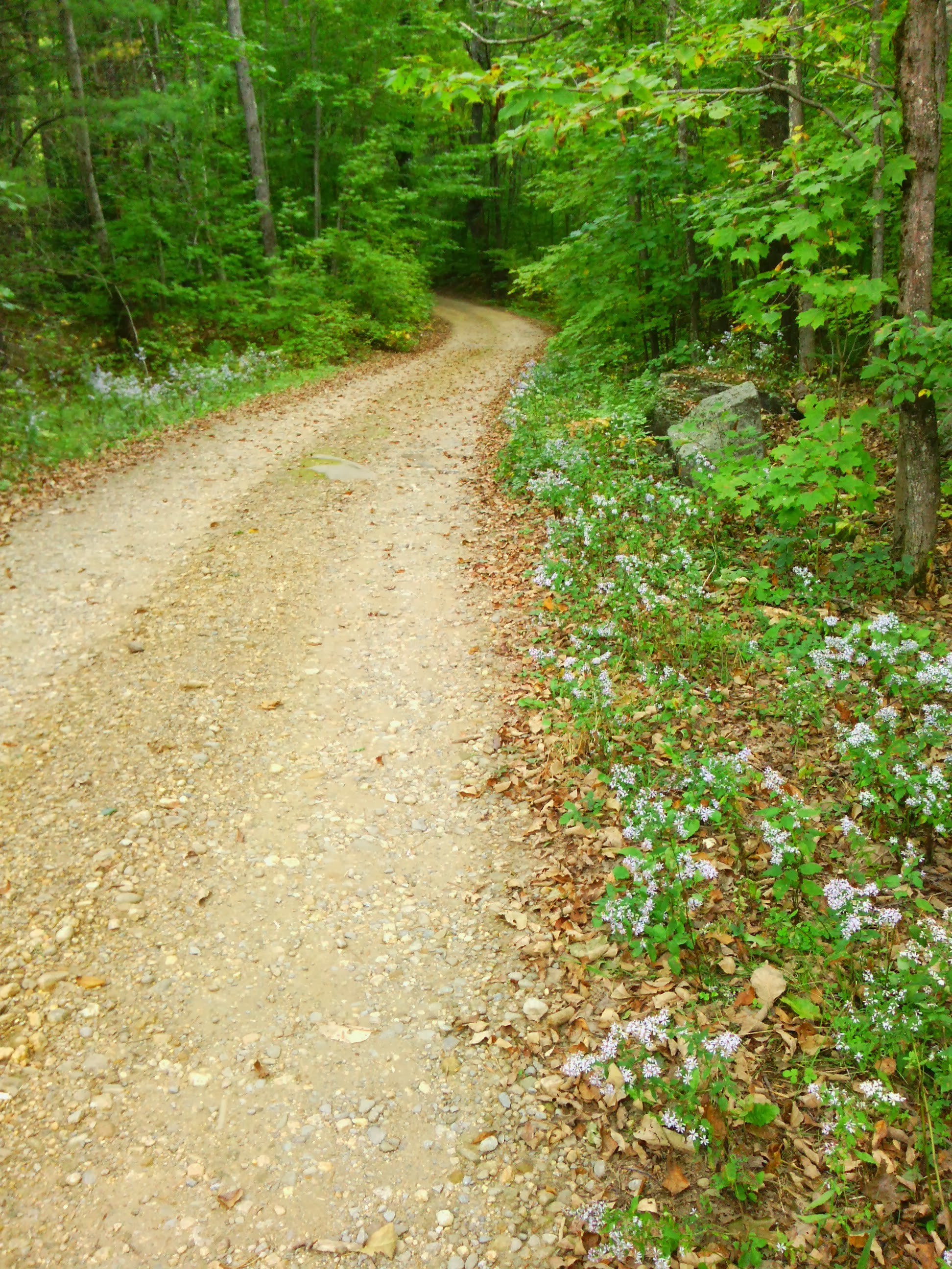
Following the slide show, I took a short drive to a trailhead on Rt. 130 for Beaver Brook and spent an hour in the woods. It was a day for YakTrax on my boots, with thin snow cover melted-and-refrozen in many spots. I saw one couple on cross-country skis having a rough time of it. The temperature in the upper thirties felt positively balmy after the bitterly-cold month just ended.

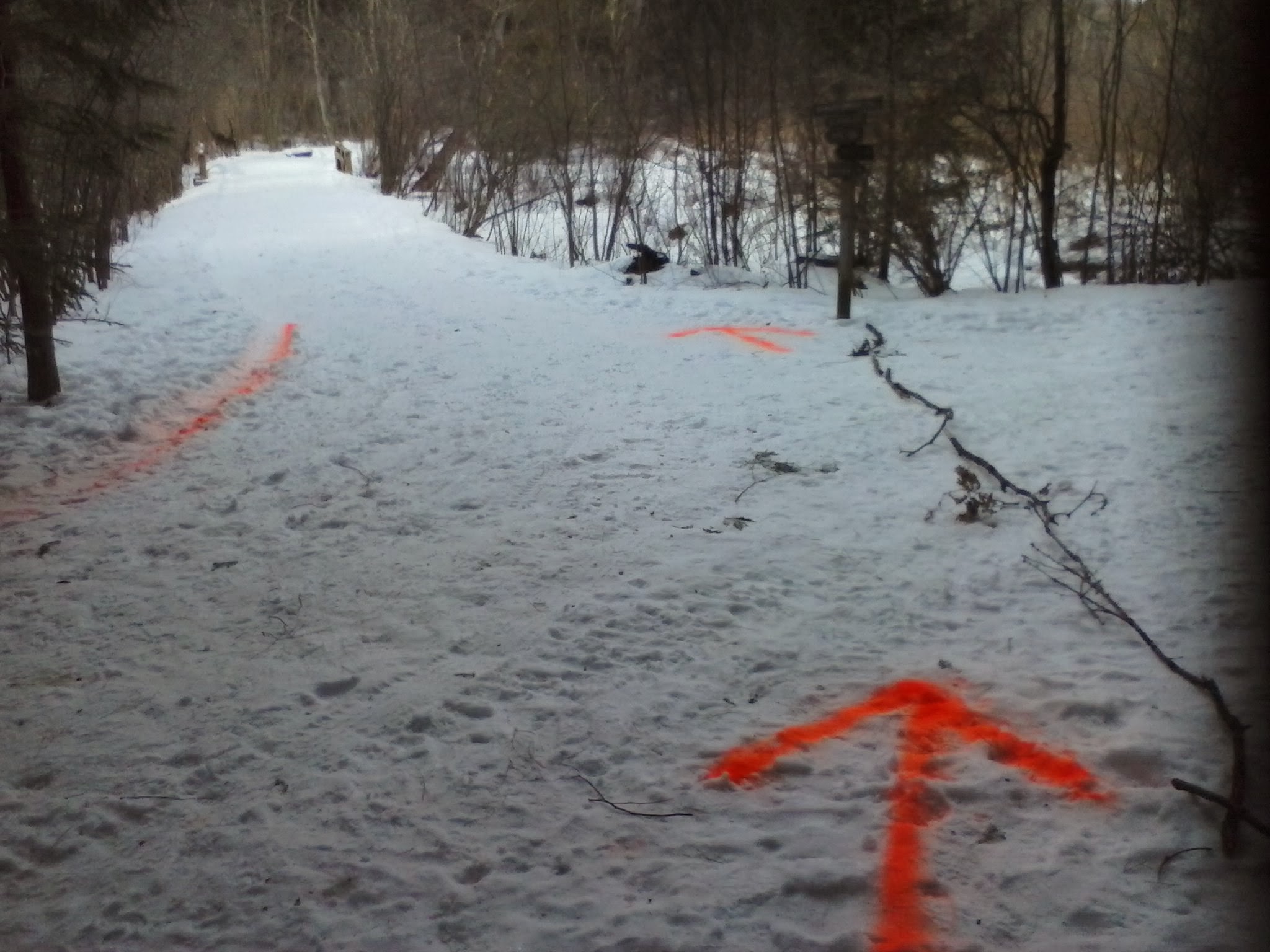
There’s logging going on in Beaver Brook this winter, although no equipment was in use today. I appreciated the quiet. There are orange arrows spray-painted into the snow as traffic-control marks for the trucks, and signs affixed to some trees with an explanation to passersby of how forest management – which includes careful logging – has been part of Beaver Brook Association ever since it was established.

Showing those loggers where to go


A New Year’s Day visit to Mount Monadnock

I decided to bring in 2014 by heading to Jaffrey, New Hampshire and Mount Monadnock for a First Day Hike sponsored by the good folks at Monadnock State Park. Two routes were offered. I chose a nature hike along the low and flat Parker Trail, accompanied by guides from the park and from the Forest Society.

Yours truly celebrating New Year's Day on Mt. Monadnock
Celebrating New Year’s Day on Mt. Monadnock

I left my snowshoes in the car and strapped traction aids to my boots when I saw how icy the trails were. The temperature was about 15º, and I can tell you now what happens when you carry granola bars in your backpack on a 15º day: the bars freeze solid. (Next time, I’ll carry them in an inside coat pocket.) Lots of sunshine, though.

We were led by Meredith and Brenda of the park staff, along with a specialist in land conservation from the Forest Society. I soaked as much as I could as they talked about forest management, wildlife habitat, and the history of the mountain. We walked at a very leisurely pace along the quiet Parker Trail. Half the fun was watching the kids in our group. A few of them appeared to be veterans of the trails. Others were wide-eyed and full of questions, walking a little unsteadily as they adjusted to having microspikes on their boots.

When I arrived at the headquarters entrance, the main parking lot was full and I had to proceed to the overflow lot. When I met Sue, the new park director, I asked her about that. “Oh, yes. We’re open year-round. Even on days like this, we get between 200 and 400 visitors.”

This is the third year that First Day Hikes have been held at New Hampshire state parks. I’ll look forward to future events.

A path to take another day: Lost Farm trail.

Winter games are here: snowshoes!

Mine Falls Park after first snowfall, December 2013

In mid-December, there’s finally been a snowfall in southern New Hampshire just heavy enough to put a base on the trails. It’s late fall, and winter is impatient to elbow its way in. This morning I spent an hour at Mine Falls Park in Nashua enjoying the crunch of snow beneath my sneaker-clad feet. The canal is almost-but-not-quite frozen over, and the muskrats have taken refuge wherever muskrats like to go.

Sometimes the season’s first snow pounds us. The Halloween Eve snowstorm in 2011 dumped a foot of heavy wet snow, uprooted countless oaks & maples, and left me without electricity for four days. Other years are more like this one, with a couple of tentative snowfalls, just to get us ready for the inevitable big ones.

I can pull my snowshoes out of their little nook in the basement and put them closer to the door.  I can look forward to hiking on those brilliant cloudless days that follow snowstorms. My favorite cross-country ski area has announced that it’ll be open for business this weekend, which means that their snowshoe trails are ready to go as well. A prime memory for me is a midweek trip there a few years ago, the day or two after a storm. There were a few skiers around, but I was the only snowshoer in sight, and I had all that wonderful powder to myself on the woods trails. Solitude, beauty, sunshine, and unbroken powder: does it get any better in the winter?

When the Olympics are broadcast shortly, I will ooh and ahh over the alpine skiers. I’ll cheer for the cross-country skiers, who are better-conditioned than most of us could ever hope to be. I’ll watch the snowboarding, which for my money is the most fun event to watch at the Olympics. But eventually, I’ll tire of being a spectator. The snowshoes will be right by the basement door, waiting for me.


Purgatory Falls, Lyndeborough/Mont Vernon, NH

water cascading over granite ledge
Purgatory Falls (Ellen Kolb photo)

I recently made it to one of my area’s more popular trails for the first time in ages. It’s another one of the southern New Hampshire treasures easy to take for granted.

When a late start forced a friend and me to change our plan to hike upstate last week, she suggested lower Purgatory Falls as a nearby hike that we could enjoy with her dogs. Sounded good to me. We started at the lower end of Purgatory Brook, at the trailhead on Purgatory Road in near the Milford/Lyndeborough town line a short distance north of North River Road. We had very little company, but my friend assured me that it can get crowded on weekends and in warmer weather.

I’m not used to hiking with dogs, and my friend brought her black Lab and her Shar-Pei. Both dogs were familiar with the trail and could hardly wait to jump out of the car at the trailhead. We decided to use leashes at first, until we were sure no other dogs were around. The Shar-Pei walked me – I can’t pretend I was controlling the dog! He was a calm and poky thing compared to his fellow pup, though. Maggie the Lab ran ahead of us, around us, into the brook and back again. A good time was had by all.

We took an hour to get to the upper Falls via a gentle uphill trail, but that was with plenty of doggie diversions. The walk back to the car was quicker, with the dogs a little less rambunctious.

I have relatives living in the village near upper Falls, and they once took me on a walk (a Thanksgiving day, as I recall) to see that spot. The walk from the village along unpaved Upham Road took us past the Purgatory Falls Fish and Game Club, at which point the road became a clear trail. It’s pleasant any time of year, I’m sure, although I’d pack the usual bug repellent in spring or summer.

Information about the northern end of the trail (upper falls) is on the Mont Vernon town web site.

Pondicherry Wildlife Refuge, New Hampshire: tell a friend about it

A friend and I have been trying for several weekends to arrange a hike, with last-minute work commitments sabotaging every trip so far. Still, we keep planning. When I suggested Pondicherry Wildlife Refuge, she said “where’s that?” I was going to refer her to a blog post here, when I discovered to my embarrassment that I hadn’t yet written about this lovely place, despite my fondness for it. Oops. Making up for lost time here.

The refuge straddles the towns of Jefferson and Whitefield. To get there from southern New Hampshire, I take I-93 through Franconia Notch and then U.S. 3 through Twin Mountain into Whitefield. There’s a airport sign in Whitefield pointing me to a right turn off route 3. A drive around the south side of the one-runway airport brings me to a little biomass plant, across from which is a well-marked parking area for Pondicherry.

Mount Martha, with Presidential range at left. All photos by Ellen Kolb.
Cherry Pond, with Presidential range at left and Mount Martha at right. All photos by Ellen Kolb.
trailhead, Airport Road
Pondicherry trailhead, on Airport Road in Whitefield.

From the parking area, one could be forgiven for thinking “is that all there is?” The Presidential Rail Trail extends north from there, looking like a long dirt boulevard. (In fact, it’s a busy snowmobile thoroughfare in the winter.) Cherry Pond is a mile and a half away via the trail. During my April visits, little spring flowers are usually peeking up on the sunny side of the trail when there’s still ice along the shaded side. I seldom have company here, and there is little noise except for the occasional small plane landing at the airport.

The walk into the refuge is tree-lined, making the sudden view of the Presidentials all the more startling when I arrive at Cherry Pond. I never get tired of that view.

Nearby are Little Cherry Pond and the adjacent wetlands. The Cohos Trail passes through, piggybacking on the Presidential Rail Trail for some distance. There’s an observation platform, affording excellent views for the birdwatcher who remembered to bring her binoculars. Critters of all sizes, from beaver to moose, find Pondicherry a congenial place.

An active (but not busy) rail line runs through the property as well. I sometimes see a few freight cars parked on a nearby siding. This quiet location still bears the old rail-line name Waumbek Junction.

Pliny Range, north of Cherry Pond

The Pondicherry refuge is a cooperative venture of state, federal, and private organizations. A good guide to the Pondicherry trails can be found in the Jefferson Dome chapter of Kim Nilsen’s book 50 Hikes North of the White Mountains.

Update, 2026: Since I wrote this entry, Pondicherry Wildlife Refuge has found its way into many of my posts. I describe a recent visit in “One way to celebrate, part II,” with summertime photos.

Pawtuckaway via Deerfield Fair

Given a complimentary pass to Deerfield Fair, I decided to enjoy not only the fair but also nearby Pawtuckaway State Park.  It’s early fall, cool but not yet cold. The leaves are just beginning to turn around here. It’s less than an hour’s walk from the quiet northwestern edge of the park to the fire tower on south Pawtuckaway peak.

First fall colors at the edge of wetlands on Tower Road.

First fall colors at the edge of wetlands on Tower Road.

I hiked in from the northwest corner of the park on Reservation Road, far from the busy main entrance.

I hiked in from the northwest corner of the park on Reservation Road, far from the busy main entrance. The little blue asters were the only blooms in sight.

Pawtuckaway fire tower. Barely visible on the underside of the cab are charts describing the landmarks in each direction.

Pawtuckaway fire tower. Barely visible on the underside of the cab are charts describing the landmarks in each direction.

View from fire tower east to Pawtuckaway Lake and the Seacoast.

View from fire tower east to Pawtuckaway Lake and the Seacoast.

View to northwest; Mt. Kearsarge in distance.

View to northwest; Mt. Kearsarge is barely visible in the distance at center.


Enter your email address to subscribe to this blog and receive notifications of new posts by email.