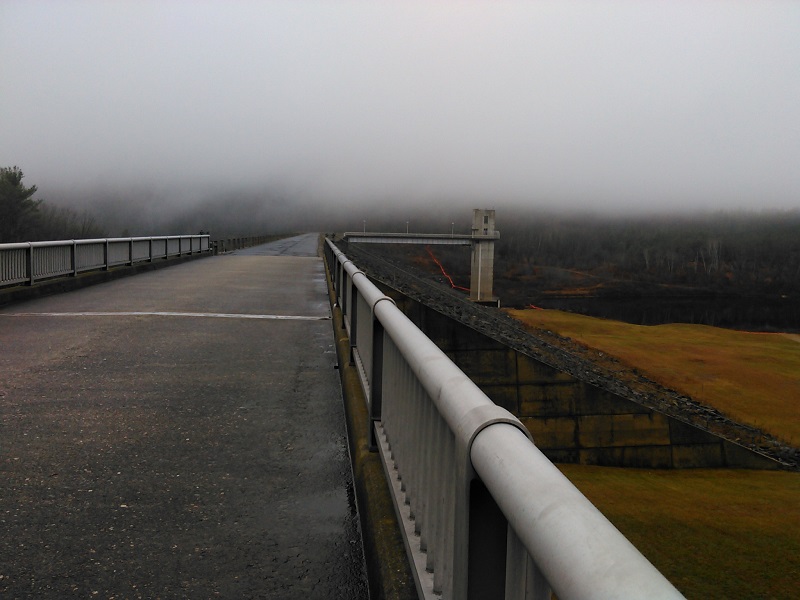
There’s usually a fine view of Mount Kearsarge from the Everett Dam by Clough State Park in Weare. Not on this cold and foggy day, though. I walked across the dam toward the trail on the other side and felt like I was disappearing into a cloud.
There’s a extensive trail system nearby for ATVs and hikers, but there were no machines in sight or sound today. Clough State Park is closed for the season, so there was no summertime laughter to be heard from the beach. I walked in pleasing silence and solitude.
Here’s another submission from my bad-picture-good-hike file:
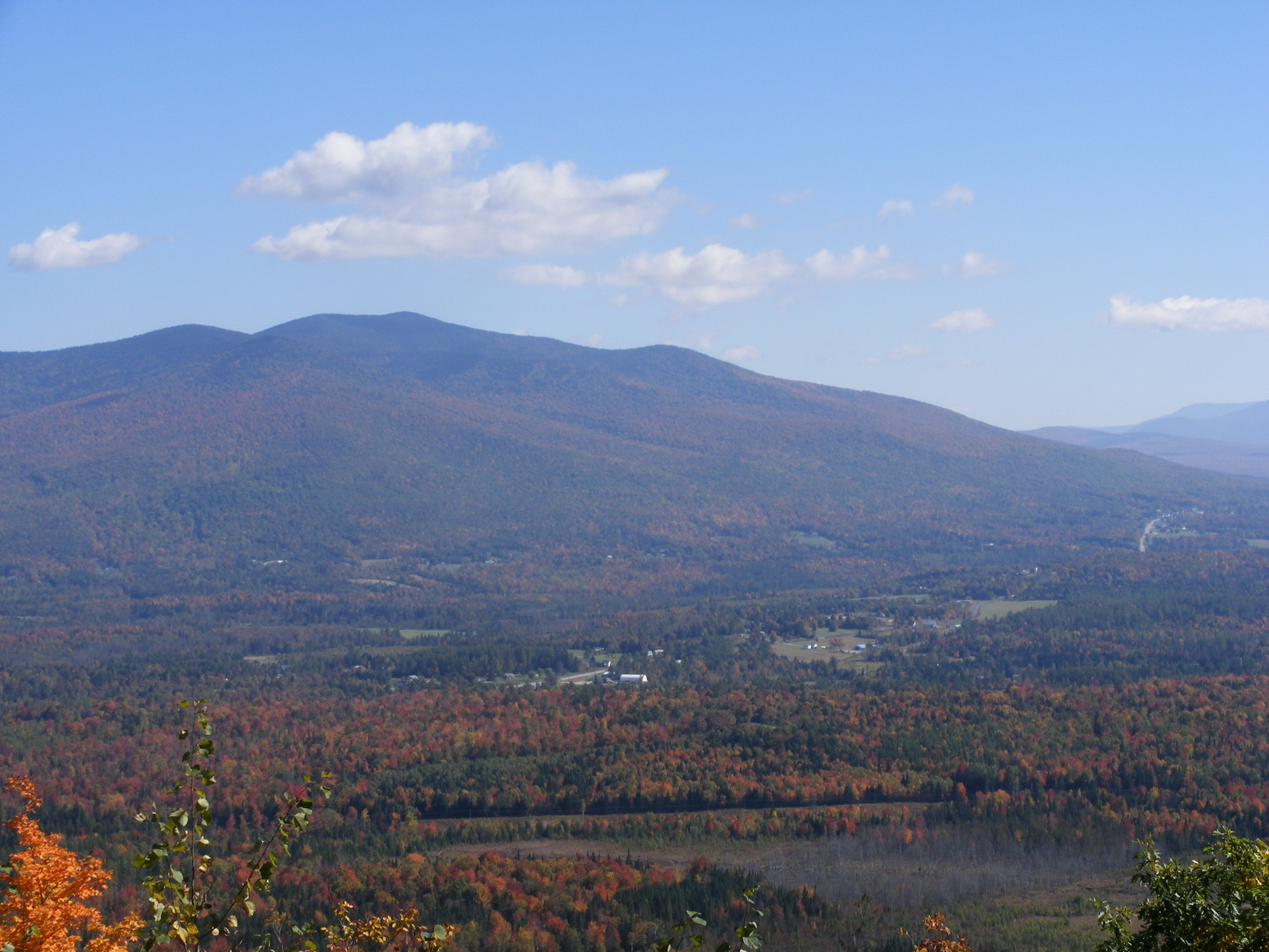
Eastward view from the auto road at Weeks State Park, Lancaster NH. Photos by Ellen Kolb.
One day a couple of years ago, I was trying to set up my camera on a wobbly support and then take a time-delay photo of myself at an overlook. Somehow, the shutter went off before the camera was properly oriented. You know what? I like this picture just the way it came out.
Longtime readers who tilt their heads slightly to one side will recognize this as the vista to the east from the Weeks State Park auto road up Mount Prospect in Lancaster, New Hampshire. I have never had a bad day there, not even the day when BB-size hail pelted me for a few minutes on my way down from the summit.
The mountain that’s shown askew is Waumbek. The rest of the vista is captured in many other photos I’ve taken through the years: the Presidential and Pliny ranges, Cherry Mountain, the Pondicherry area. (Search “Weeks State Park” on this site.)
Nearly every visit I’ve made to Weeks has been when the auto road has been closed. Great! That makes walking easier. There are trails up Prospect Mountain, but I like that auto road, and I especially like the overlooks. I’m not the only one. There are area residents who use the auto road for daily walks, weather permitting. If I didn’t live two hours away, I might join them.
Oh, and this is how an intentional shot came out that day. This is Mts. Waumbek and Starr King, with a little bit of the town of Jefferson. Not even a crooked photo could’ve spoiled that day.
Autumn in northern New Hampshire: Pliny Range, town of Jefferson, U.S. 2 in the distance at right.
I walk for fun, to explore, to more-or-less exercise. I also walk to keep my head on straight. I wouldn’t have gotten through today without a couple of miles outside.
I’m a political critter, you see. I’ve been a campaign staffer, an activist, a blogger from the New Hampshire State House, to name a few pastimes. Yesterday was election day after the nastiest campaign year I’ve ever experienced. This has been a backed-up-sewer of a season.
Nothing will flush it out except time on the trails.
I had time today for a couple of local miles. Manchester’s Piscataquog rail trail came through for me. There were enough leaves left on the trees to serve as a canopy. The overcast sky suited me; bright sunlight would have left me with a slashing headache.
Forty good minutes: enough time to escape agitation. Time to block out the noise, turn away from the news feeds, take lots of deep breaths, recall what’s important.
A man biked past me. I recognized him as the unofficial adopter of the trail, picking up bags of trash, neatly hanging fresh plastic bags every hundred yards or so. Seeing him was oddly consoling and reassuring. He has a simple, selfless volunteer’s dedication to an unsung job that consists of keeping a public area pretty.
Beat that, candidates.
Decompression is going to take awhile. Today’s walk was a good start.
As the Granite State Walker blog turns 10 this month, I’m looking back at some of my favorite southern New Hampshire destinations. Today’s gallery: Mine Falls Park in Nashua. This urban park is accessible from the Everett Turnpike (exit 5W, or 5E to Simon Street), Stellos Stadium, Lincoln Park, the Millyard downtown, or 7th Street off Ledge Street. If you live near Nashua and you haven’t explored this park yet, do yourself a favor and get out there!
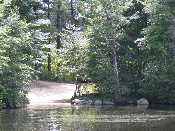
Two boat launches serve the park, including this one outside Conway Arena. All photos by Ellen Kolb.
The dam at Mine Falls.
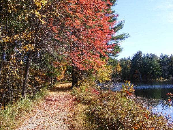
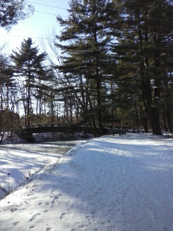
This path edges the millpond, home to heron and beaver.
A short history of the park.
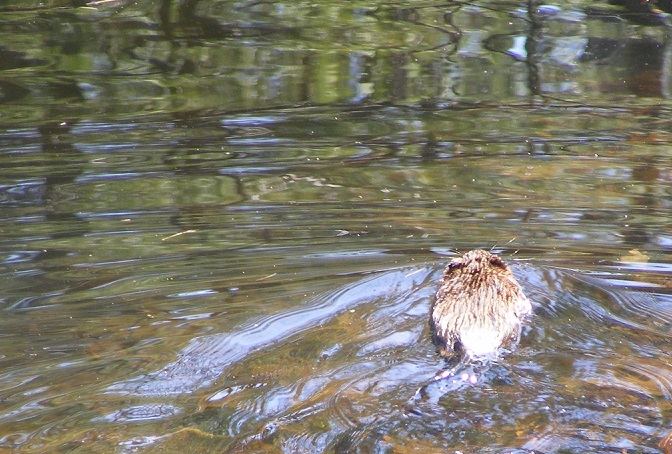
Muskrats love the Mine Falls canal. The canal, nearby Nashua River, and millyard cove are great areas for observing birds and wildlife.
In the winter, I bring my snowshoes.
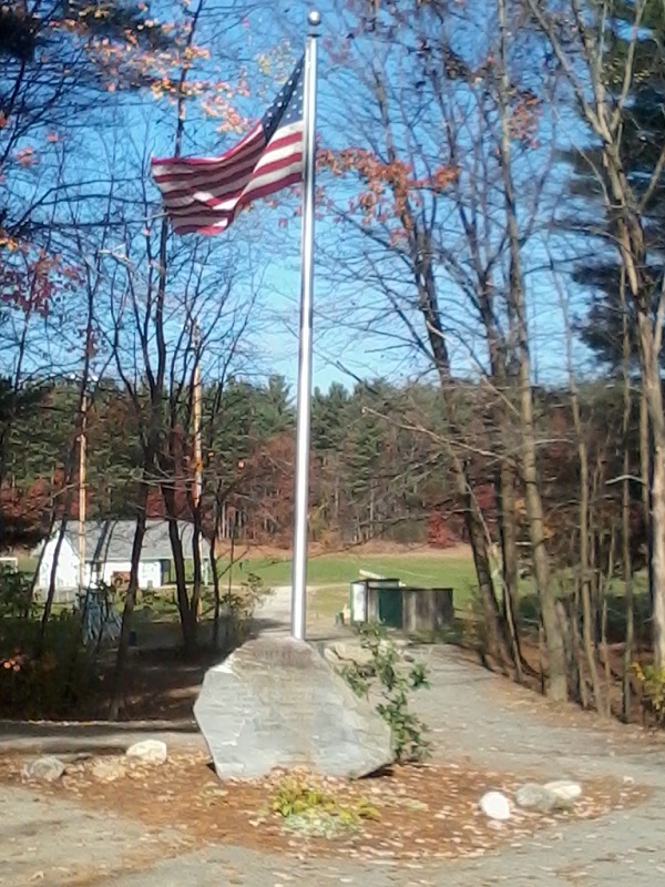
A memorial to a fallen Nashua-area Marine SSGT Allen Soifert graces the walkway leading to the Mine Falls playing fields.
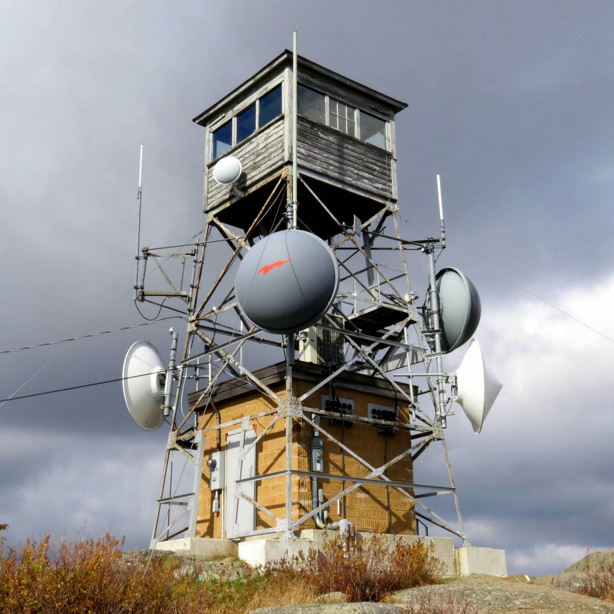
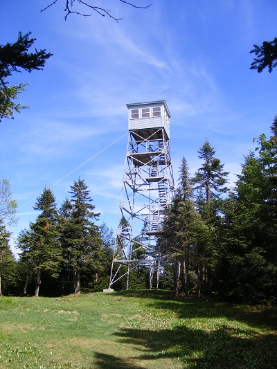
About ten years ago, I came across A Field Guide to New Hampshire Firetowers, a labor-of-love booklet by Iris W. Baird and Chris Haartz. It’s a gem of local history, and I used to take it with me whenever I headed out for a tower hike. (I just learned that Baird passed away earlier this year; may she rest in peace.) They worked to collect information on every New Hampshire fire tower and former fire tower site – more than ninety locations!
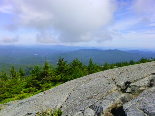
View from the tower site on Mt. Kearsarge, Warner NH. Photos by Ellen Kolb.
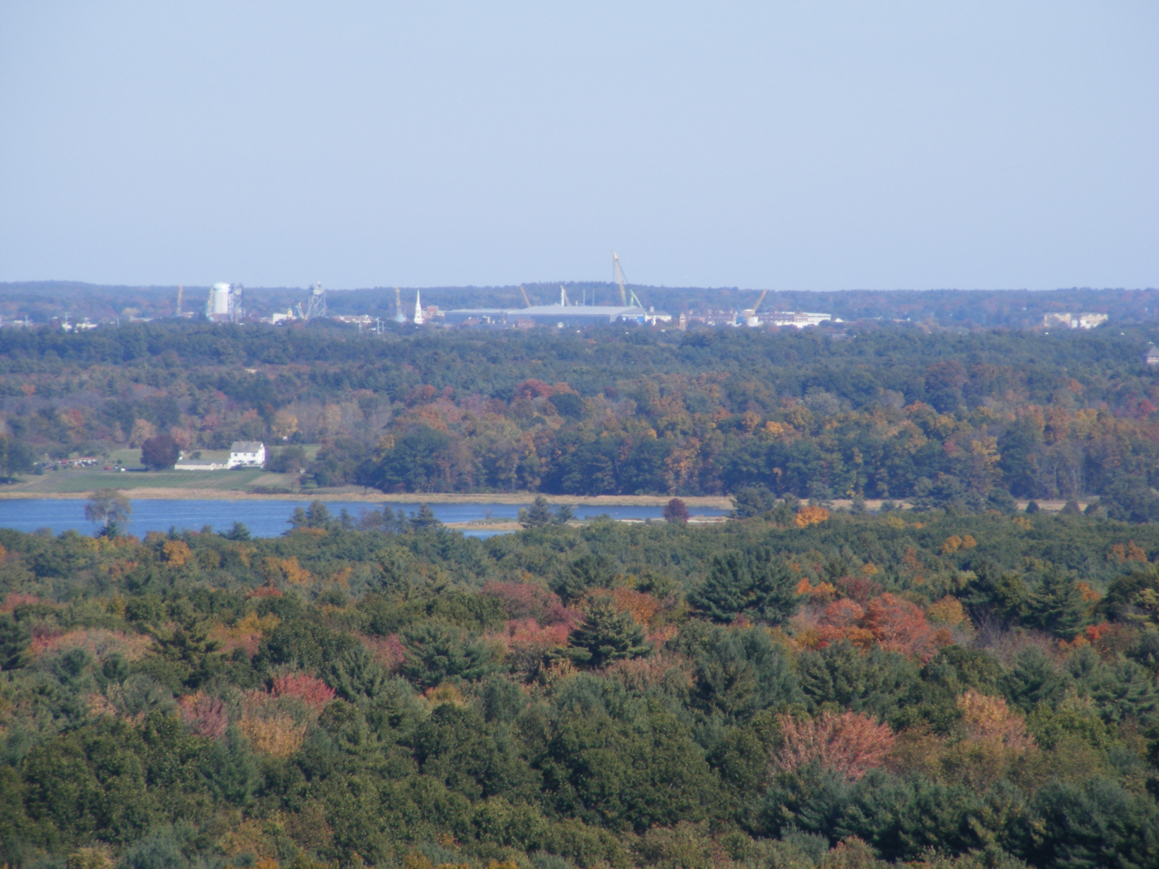
The Pitcher Mountain tower, Stoddard, NH, is a short and easy hike from the parking area on NH Route 123.View from the decommissioned tower at Stratham Park, looking towards Portsmouth and the NH coast.Loveliest fire tower to be found anywhere, in my opinion. Weeks State Park, Lancaster NH.
Northernmost active tower in New Hampshire, on Mt. Magalloway in Pittsburg, not far from the Canadian border. The view on a clear day extends beyond New Hampshire to Maine, Vermont, and Quebec.
It’s fall, the prime time for Granite State walkers of all ages. Crisp air and fewer bugs make every trail more inviting. And then there’s fall foliage, which I thought would be a disappointment after our region’s drought. How wrong I was.
I have a map of New Hampshire that I’ve marked with sites of historical markers, Forest Society reservations, and state parks. It’s a great guide for daytrips. Last weekend, I consulted the map and headed east to scout some trailheads for future exploration. I meandered all over the place, just for fun. Here are a few of my discoveries.
Effingham
The drive to the Green Mountain trailhead at the end of High Watch Road was the stuff of travelogues. There’s a point on NH route 16 northbound from Rochester where I got to a rise in the road, and suddenly mountains were in view, swathed in colors.
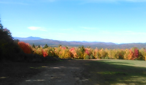
View to the north from High Watch Road. I’m pretty sure that’s Mount Chocorua in the distance on the left. A hike for another day, perhaps. Photos by Ellen Kolb.
Once on the trail, I nearly threw away my watch. There was a fire tower up there, after all, and what views it promised! But this was a scouting trip, and I had a schedule to keep, so I contented myself with a short walk in the woods and a silent promise to come back someday.
New Durham
State Route 11 connects Rochester and Alton, with New Durham along the way. A 55-mph speed limit makes scanning for trailheads a bit tricky. I plugged the coordinates for Cooper Cedar Woods into my phone’s GPS and hoped for the best. It worked, which is always a pleasant surprise to someone who surrounds herself with low-grade electronics.
In Cooper Cedar Woods, New Durham, NH.
The wooded tract features a simple loop trail less than a mile long, and I had it all to myself. The fragrance in the air was amazing. It was some indescribable combination of trees and their fallen leaves, unique to that particular location. I could hear Route 11’s auto traffic nearby, and yet it seemed to be a world away.
Rochester
Champlin Forest, seen from Route 108 in Rochester, NH
Early in my road-trip day, I was one of the walkers bringing up the rear at the Foley Run in Rochester, a joyous 5k event in memory of photojournalist James Foley. Main Street’s trees were at their showiest, right on schedule for the visiting racers.
After a quick post-race snack of bagels and fruit, I drove south of town to a quiet parking area tucked across the road from the town’s airport. Here was the Champlin Forest, another Forest Society property, with about two miles of trails meandering through it.
I came home with many notes that will help me plan future trips, including return visits to these three places.