Midweek on Old Toll Road, Mount Monadnock

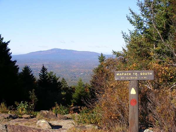
When the Forest Society announced its challenge last year, offering a patch for anyone visiting 33 specified Forest Society properties, I jumped on board immediately. Since then, I’ve had fun discovering some new trails. Others, like those on Mount Monadnock, are already familiar. The Forest Society has a reservation on the mountain that blends seamlessly with Monadnock State Park.

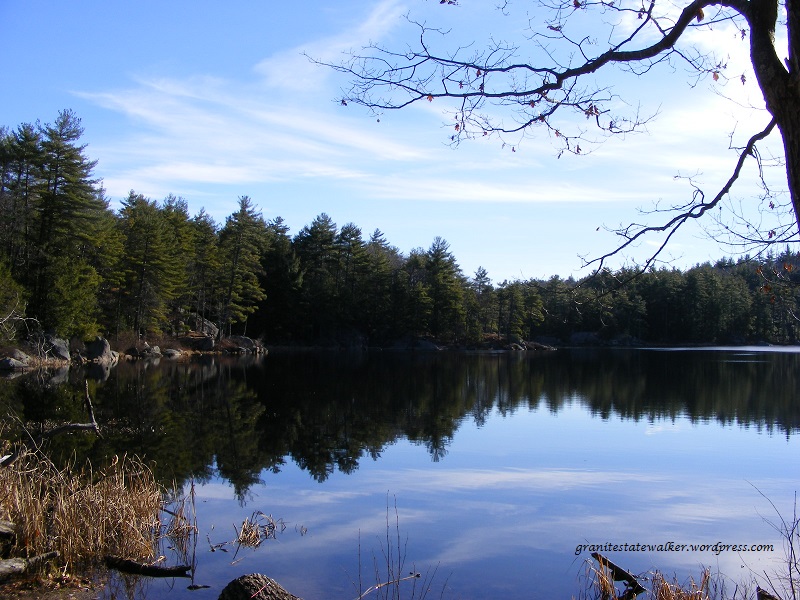
On my most recent visit to Monadnock, my indifferent level of fitness ruled out a summit hike. I settled for an easy walk to the Halfway House clearing via the Old Toll Road, featuring a wonderful view to the south with Gap Mountain foremost.

Gap from Halfway House_Monadnock
The view south from Mt. Monadnock’s Halfway House clearing. Photos by Ellen Kolb.

The Old Toll Road begins at the well-marked state park parking lot on NH Route 124 on the south side of the mountain. (Post-Covid update: the state park now charges a $15 parking fee, which covers a driver and up to five passengers. Reservations can be made online. See the Monadnock State Park web page for current information.)

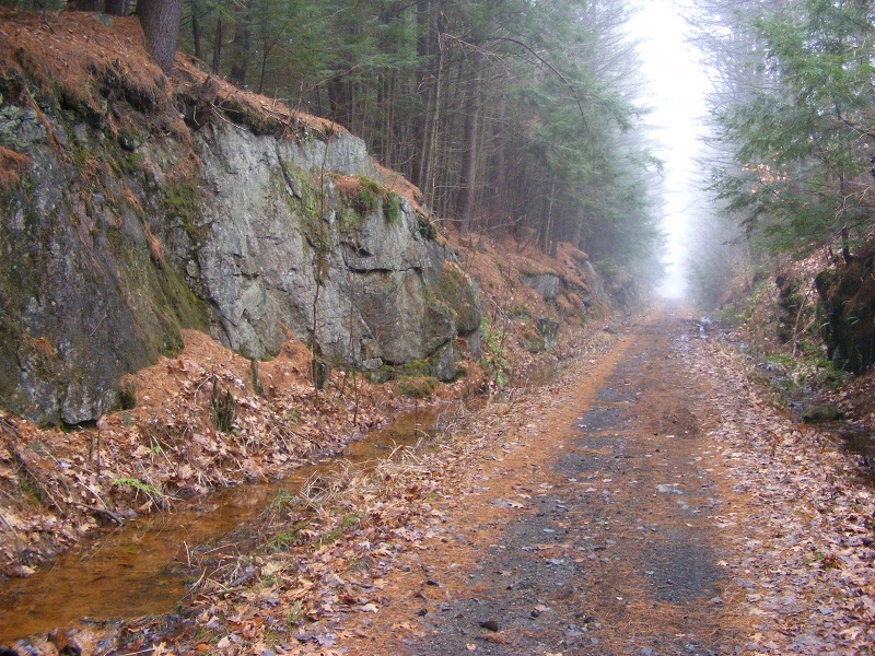
The Old Toll Road has a packed crushed-gravel surface, well-drained, and wide as a boulevard. It’s an uphill path for sure, but easy going until it ends at the White Arrow Trail. I walked up the Road, picked up White Arrow for a short distance, and soon I reached my destination: the Halfway House clearing, named for an inn that once stood there.

Old Toll Road, Spring
Old Toll Road on Mount Monadnock, mid-spring

I looked up to the summit and saw no hikers. That’s unusual. Normally, the summit seen from that distance looks like an anthill.

DSCF1650 - Copy
A peek at Monadnock’s summit from the Halfway House clearing

A cool breeze kept the bugs away on the overcast day. I knew I was likely to be rained on any minute. I didn’t care. A midday midweek visit to New Hampshire’s most-climbed mountain rewarded me with solitude, and solitude on Monadnock is meant to be savored.

First day hike 2017: Wellington State Park, Bristol NH

New Hampshire enjoyed benign weather on New Year’s Day, perfect for a First Day Hike. I headed to Bristol, home of Wellington State Park and the Elwell Trail. No snowshoes needed; the trail was well-packed. Gravity got the best of me a few times despite the YakTrax on my boots, but I fell gently thanks to the snow cover. About sixteen of us were led up the trail by a guide from the Newfound Lake Region Association.

NewfoundLake, NH
Newfound Lake in Bristol, NH, seen from Little Sugarloaf. Ellen Kolb photos.

Our destination was Little Sugarloaf, a modest peak about a mile and a half from the Wellington parking lot. There were plenty of hikers on the hiking trails and snowmobilers on the snowmobile trails, with cooperation and good cheer all around.

The payoff view: Newfound Lake on a clear and sunny day, with ideal sights and sounds. We watched a pair of bald eagles fly around the islands below us. The snowy peaks of Franconia Notch about 40 miles away were visible. I knew there were snowmobiles all over the lower trails, but I could barely hear them from Little Sugarloaf’s summit.

A few of my more ambitious companions decided to hike on to Sugarloaf, a few hundred feet higher. I might check that out some autumn day.

Find maps of the area at newfoundlake.org.


October color on Pack Monadnock

Columbus Day weekend is wrapping up for the leaf-peepers. Autumn colors are still muted in my area, except for a few specimen trees flashing scarlet. I figured the Monadnocks would be a little showier today. I stole a couple of hours from my schedule and headed to Miller State Park in time for a walk up the auto road before it opened to cars for the day. I actually spent time alone on the summit of Pack Monadnock! That’s a rare treat.

dscf1503-resized
From the Pack Monadnock summit: Mt. Monadnock, about twelve miles away. Photos by Ellen Kolb.
img__201610284__100312
My guess is that the P on this granite marker along the auto road is for Peterborough, one of three towns that can lay claim to part of Pack Monadnock.
north-pack-from-pack-monadnock
There’s plenty of colorful foliage over on North Pack Monadnock.
boston-skyline-cropped
When I took my kids to Pack Monadnock when they were little, the first thing they wanted to check from the summit was whether it was “a Boston day,” clear enough to see Beantown’s skyline. This was a Boston day.

First Day Hike 2016: Hollis, NH

winter day, grey sky, apples clinging to a leafless tree
Woodmont Orchard, Hollis NH, New Year’s Day. Photos by Ellen Kolb.

The New Hampshire state parks people added Silver Lake State Park to the list of locations for guided First Day hikes, and I think this one’s a keeper. The state park abuts town conservation land with trails maintained by the local snowmobile club. With the area’s first measurable snowfall of the season having fallen just a few days ago, boots were all the equipment I needed to join the fun. I left in the car every accessory except my camera and a map, and spent an hour on trails I’d never before visited.


snowmobile on trail
Multi-use trails in Hollis, NH

I didn’t mind the snowmobile that passed me at one point. People like the sled’s cheerful and careful driver maintain these trails.

Days like this remind me why I started this blog. Silver Lake State Park is where I used to take my kids swimming when they were little, and I thought the lake itself was all there was to it. Today, after living in the area for many years, I discovered new trails in what I thought was a familiar place.

New Hampshire is a tiny slice of the republic, and the southern tier is even tinier. Yet here in what looks like an insubstantial part of the map are parks and trails that most New Hampshire visitors and even some residents will never see. Every year, I find something new: a little trail connecting two urban parks, country roads with drivers who don’t mind sharing the pavement with pedestrians, a Hollis trail connecting Silver Lake with Woodmont Orchard. I want to drink it all in and come back for more.


Pawtuckaway State Park, Round Pond Road

The snowless days are ending; I’ll be shoveling my driveway in just a few days, if the forecast holds. This was my last chance to visit some nearby trails before winter conditions set in. I had planned to walk up a hill with a pretty view, but decided at the last minute to stick to level paths. I went to Pawtuckaway State Park and explored the northwest corner of the park via Reservation Road and Round Pond Road.

pound with many snags (dead trees) at the base of a forested hill
North Mountain seen from Round Pond Road. This must be a wonderful birding spot at dawn and dusk. All photos by Ellen Kolb.
a pond reflecting blue sky with light clouds
Round Pond, harshly lit on a brilliant sunny day. The pond is about two and a half miles from where I parked on Reservation Road.
glacial erratic boulders in a forest, with a backpack on the ground
A side trail from Round Pond Road leads to the Boulder Field, where the woods are full of large glacial erratics. I placed the backpack at the base of a boulder for scale.
tree trunk with cavities formed by woodpeckers
A pileated woodpecker had been hard at work on this tree.

Southwest NH: Cheshire County drive

I spent a foggy and snowless December day driving from the Merrimack River to the Connecticut River and back through New Hampshire’s southern tier, stopping for walks now and then. Visibility was too limited to make a mountain hike worthwhile, but rail trails and roadside parks were ready for me.

I chose a short segment between the nicely-restored depot in Troy and Rockwood Pond in Fitzwilliam. It was a round trip of just over four miles on a wide, straight trail. The only sounds were from birds and my own steps. No ice or snow, just a bit of mud on the southern half of the walk. On a clear day there’s a splendid view of Mount Monadnock from the shore of Rockwood Pond, though the fog obscured all the surrounding hills today.

DSCF0315
Cheshire Rail Trail, Troy NH. All photos by Ellen Kolb

Swanzey was next, and I managed to work a pair of the town’s famed covered bridges into my route. The most exciting sight of the day was a bald eagle I spotted near the Ashuelot River, and it was too swift for me to snag a photo.

DSCF0337
Thompson Bridge in Swanzey, complete with sidewalk.

The village of Ashuelot is in Winchester, with a covered bridge of its own.

DSCF0344
Bridge in the village of Ashuelot, Winchester NH

After some business in Brattleboro, Vermont, I took the more-or-less direct route back east, along New Hampshire routes 9 and 101. I stopped for a half hour at Chesterfield Gorge,  a small roadside state park on NH route 9.

DSCF0363
Enjoy Chesterfield Gorge with a three-quarter-mile loop walk from the parking area.
DSCF0360
Wilde Brook, which cuts Chesterfield Gorge.

As the photos show, this is a very mild late autumn. In a fit of irrational exuberance, I almost tossed sandals in the car before I left home. Good thing I refrained; there was just enough mud and chill to make me glad I wore sensible shoes.