October’s walks: a Granite State sampler

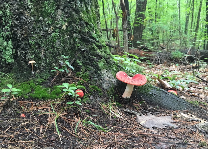
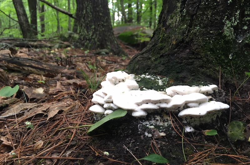
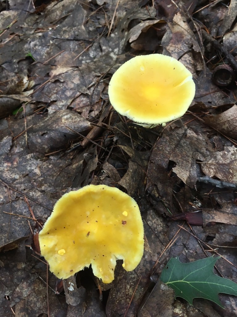
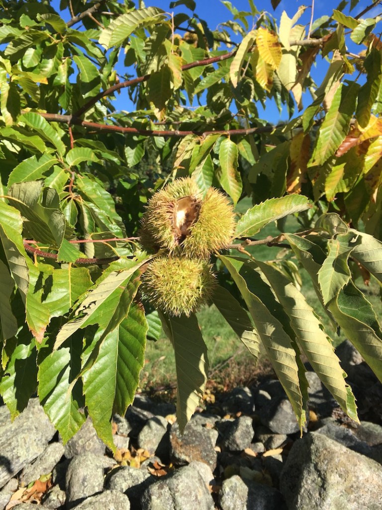
Blue sky, thirty-odd degrees, visibility unlimited: a New Hampshire October at its best. This was a month of short hikes in a pleasing variety of places.

Goffstown Rail Trail

Goffstrailsign

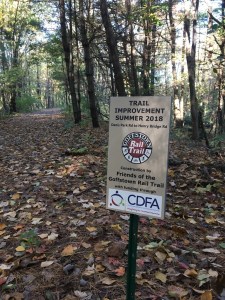
The Friends of the Goffstown Rail Trail have just unveiled a short but welcome upgrade to the sandy stretch of trail running behind the county government complex on Route 114. The new hardpack surface is much friendlier to bicyclists.

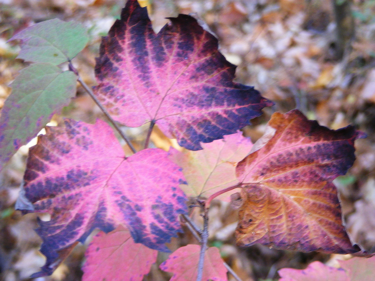
The trail is covered with leaves, which is no surprise in October. What did surprise me was the absence of fallen twigs and branches after several windy days.

Muster Field Farm, Sutton

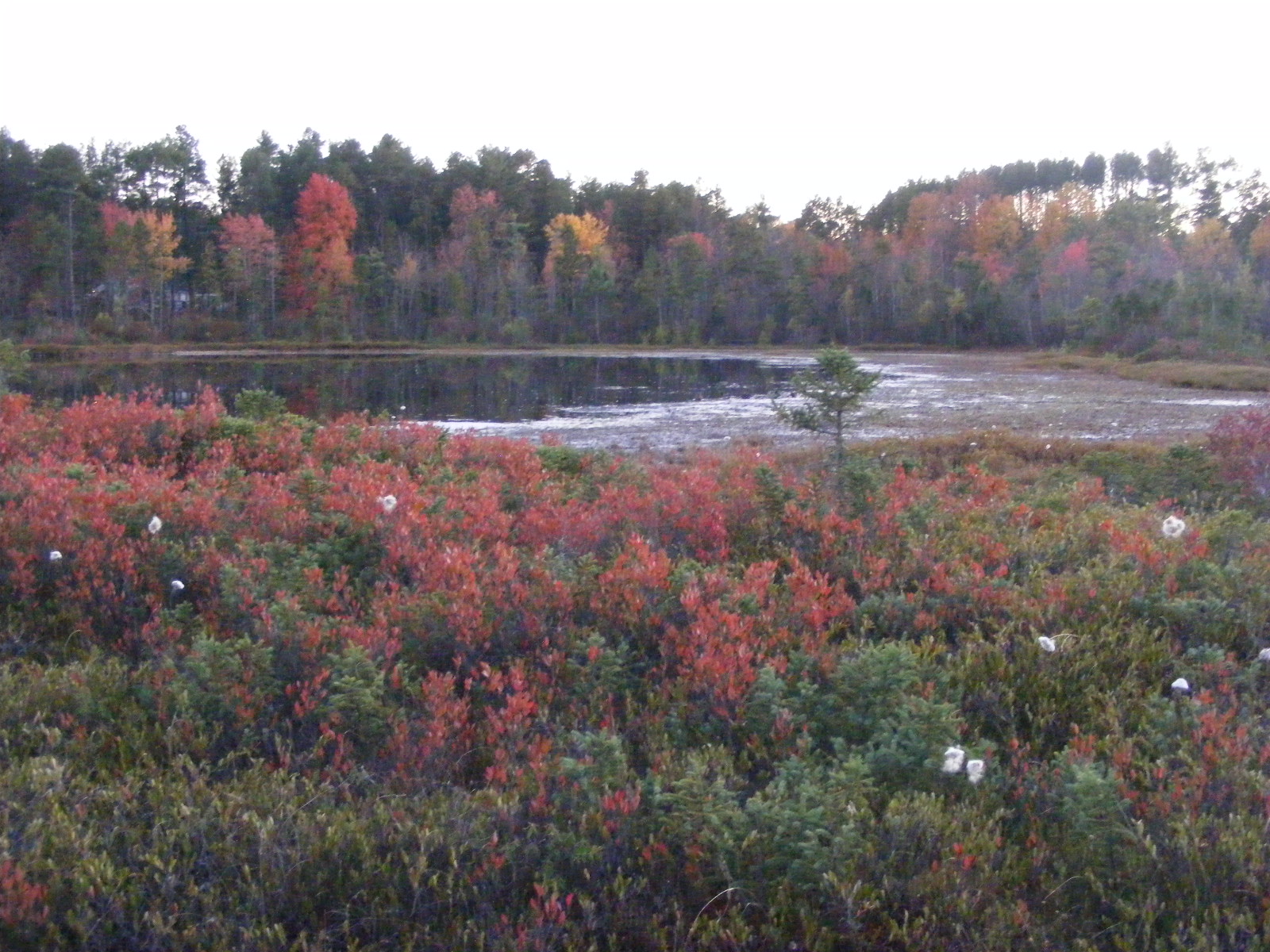
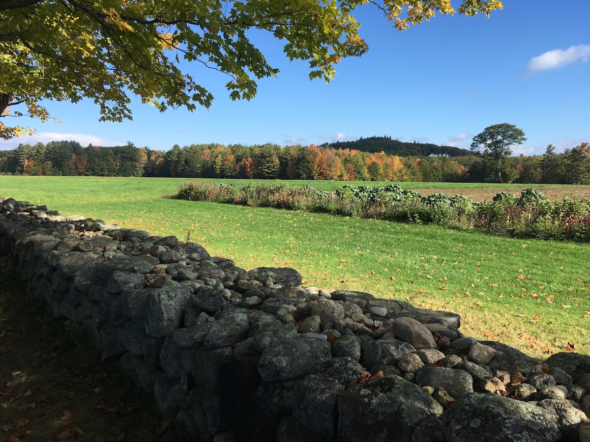
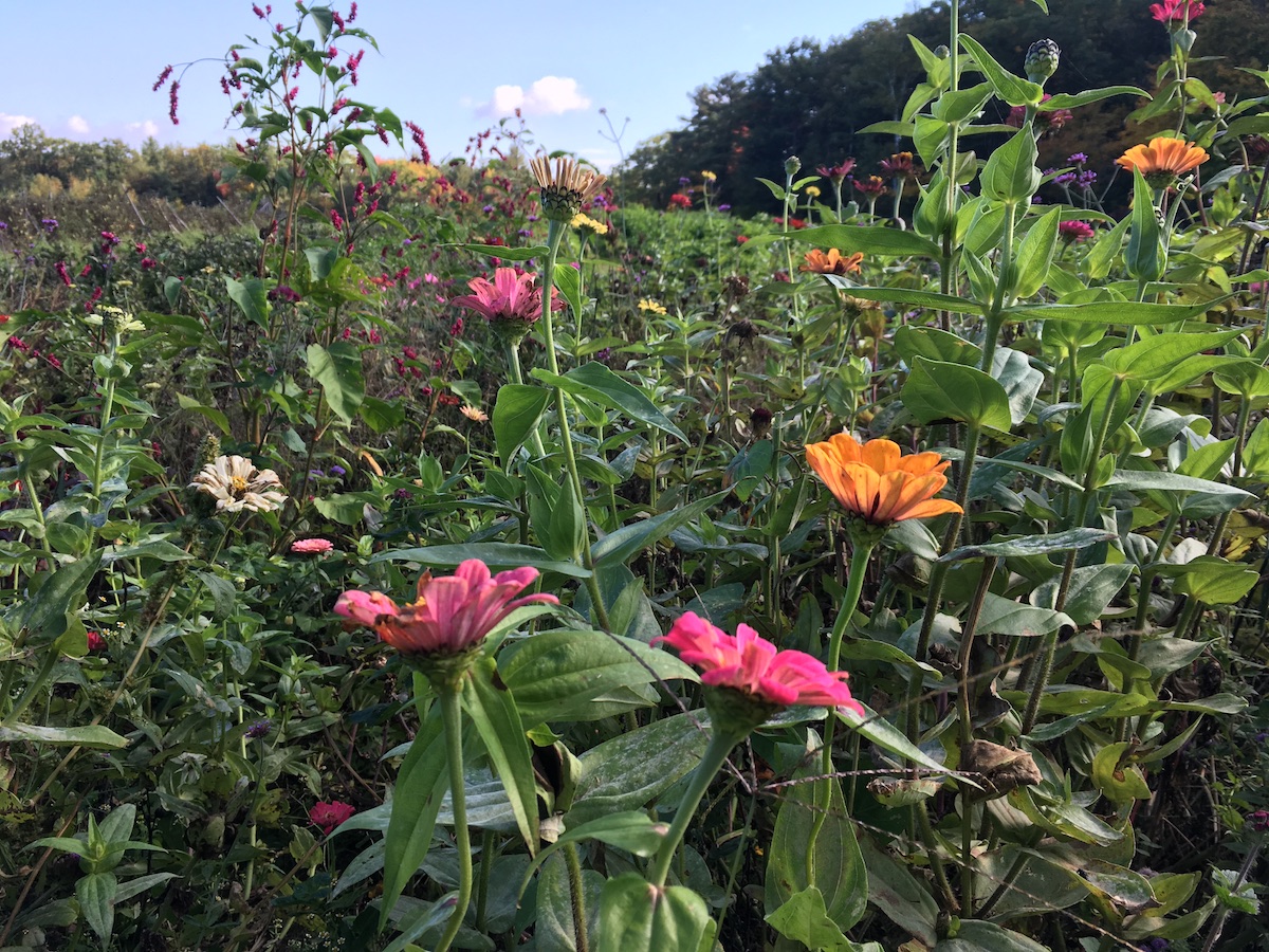
Muster Field Farm is up Sutton way, just south of I-89. It’s a working farm as well as a historical homestead. It’s on a quiet road that’s fine for walking, with other paths and roads nearby to create loop routes of varying lengths. There’s a farm stand on the property, and I was lucky enough to be there on a day when $5 got me a big bunch of colorful cut zinnias.

meadow edged by stone wall
Muster Field Farm, Sutton NH.
field of zinnias of many colors
Flowers galore growing at Muster Field Farm
New Hampshire historical marker for "Harvey Homestead"
The Harvey Homestead is part of the Muster Field property.

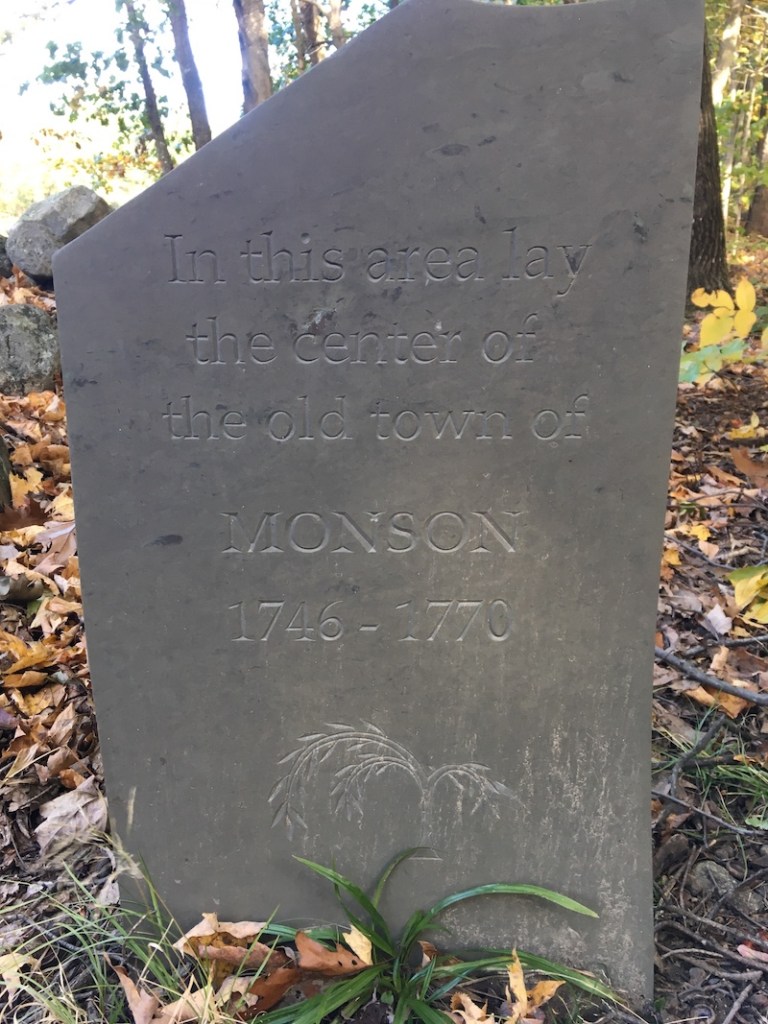
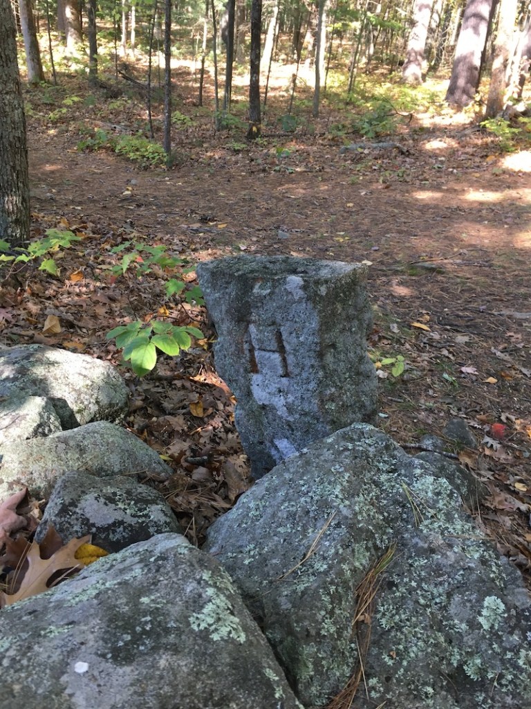
Monson Center, Milford/Hollis

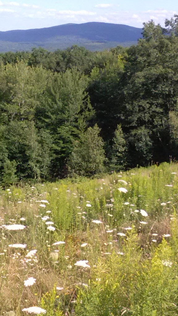
My previous visits to the trails in Monson Center were in the summertime, with irises blooming and mosquitos biting. October brought a different atmosphere, bracing and clear.

Monson was an 18th-century town that lasted less than 40 years before its inhabitants petitioned the state to formally rescind the town’s charter and divide the land among surrounding towns. Today, the land is a Forest Society property. Located only a few miles from busy Rt. 101-A, the parking area on Federal Hill Road is easy to miss. I’ve overshot it myself. It’s worth finding, though, for its historical interest as well as its trails.


heron rookery in a marsh
Beavers flooded part of the Monson property, and herons have taken advantage, as their nests attest.

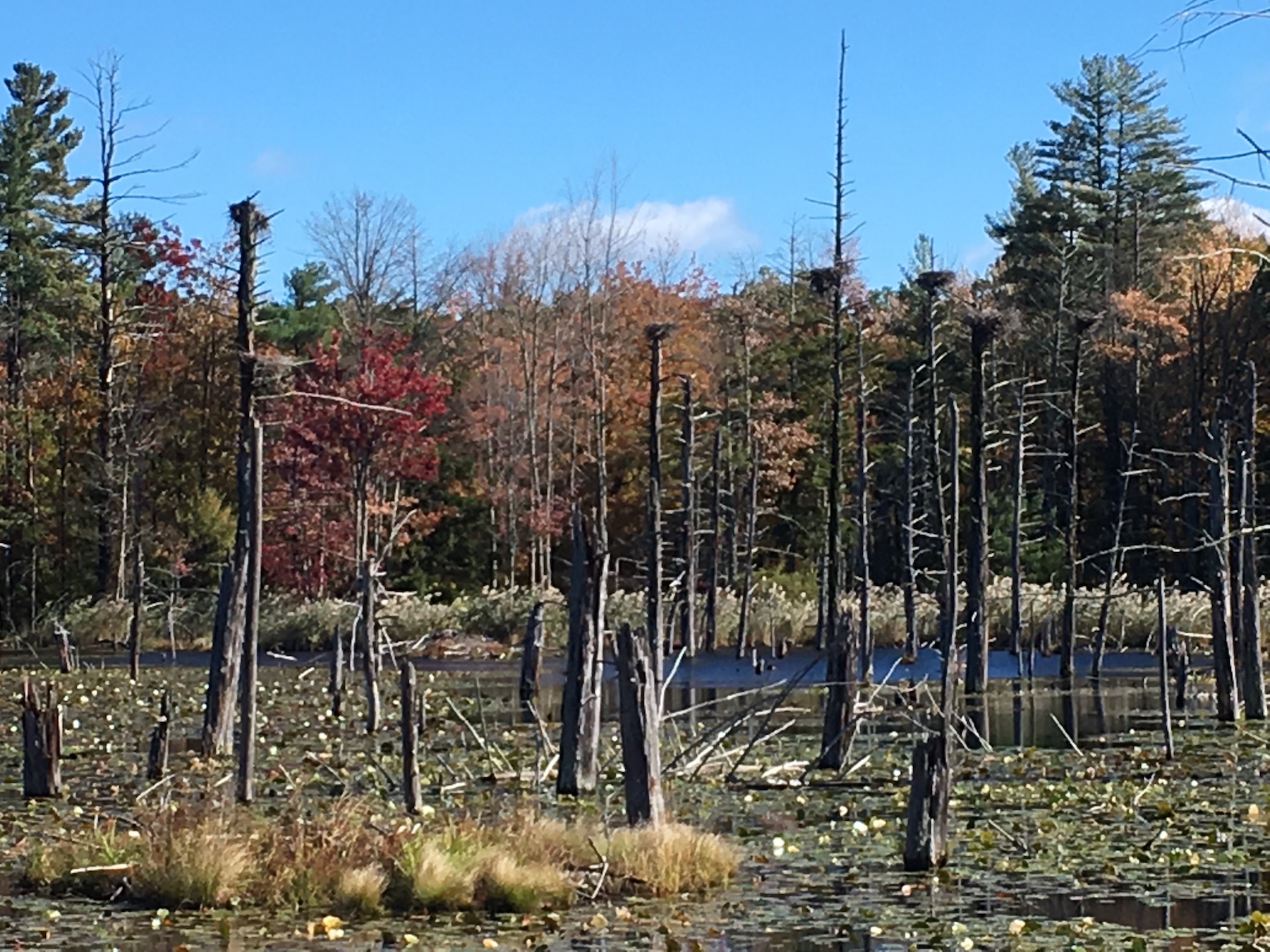
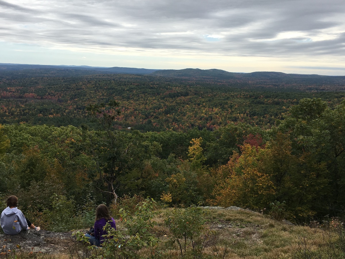
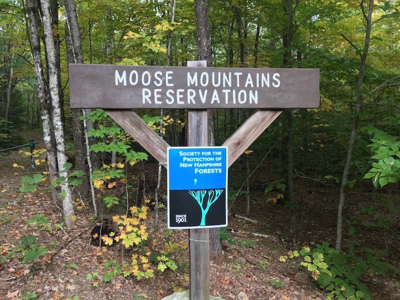
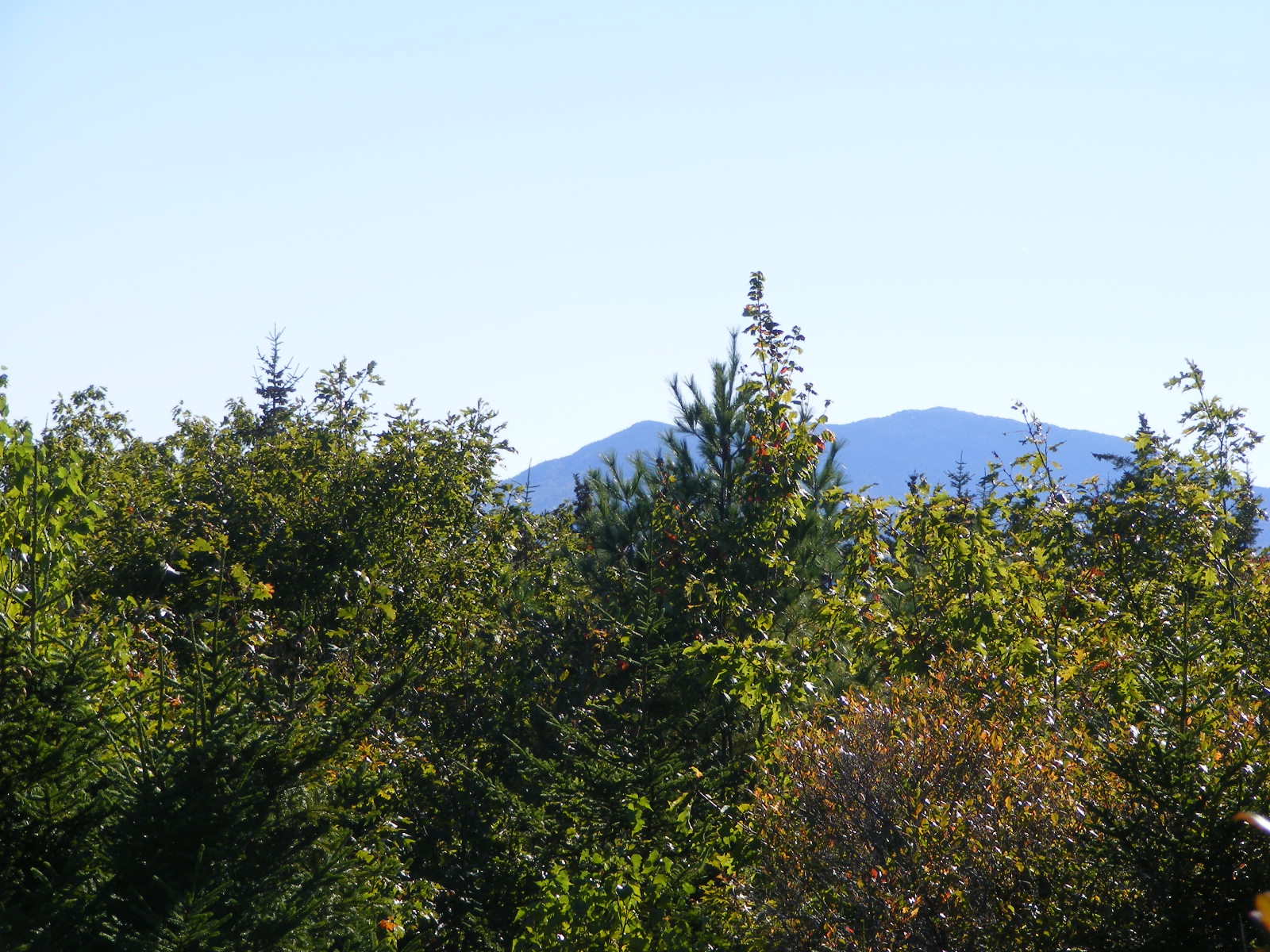
Moose Mountains Reservation, Middleton/Brookfield

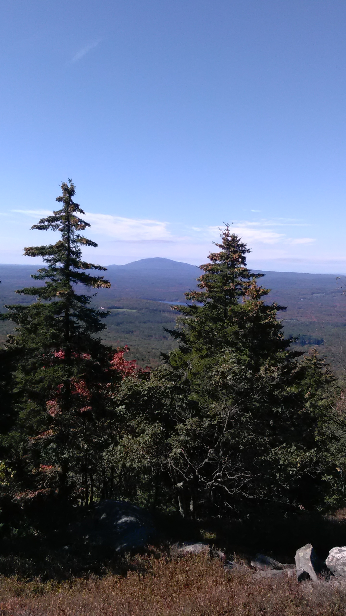
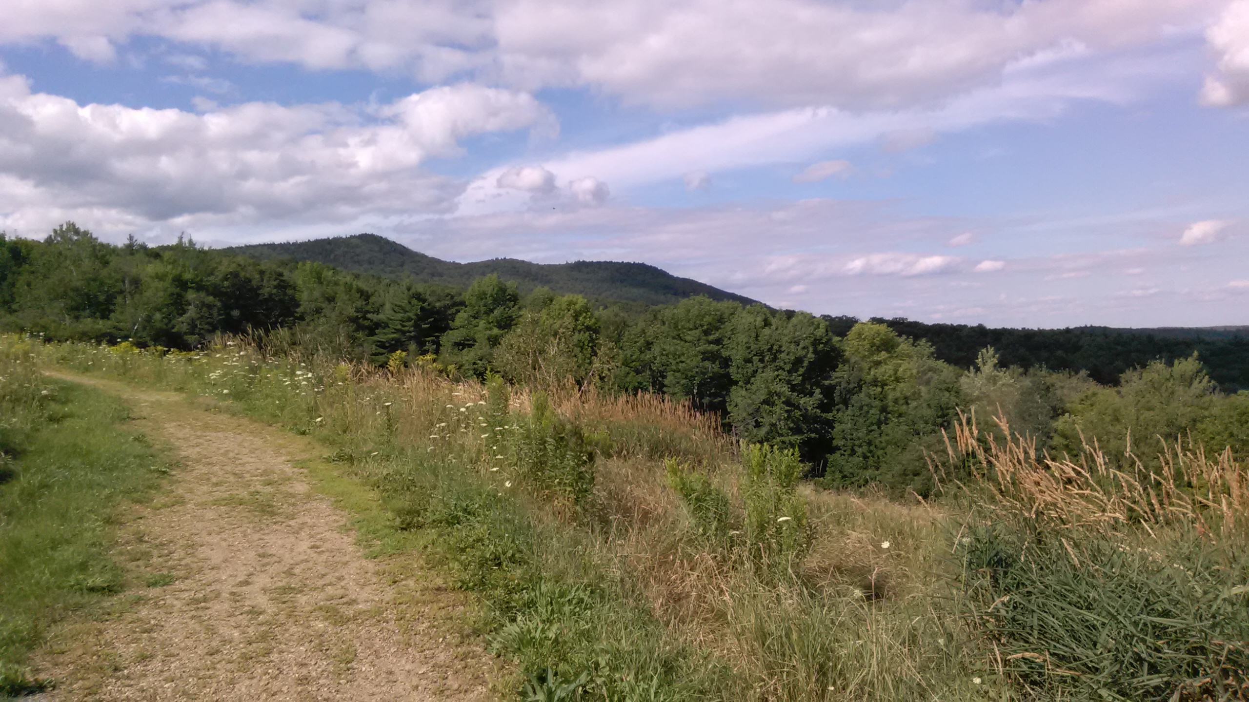
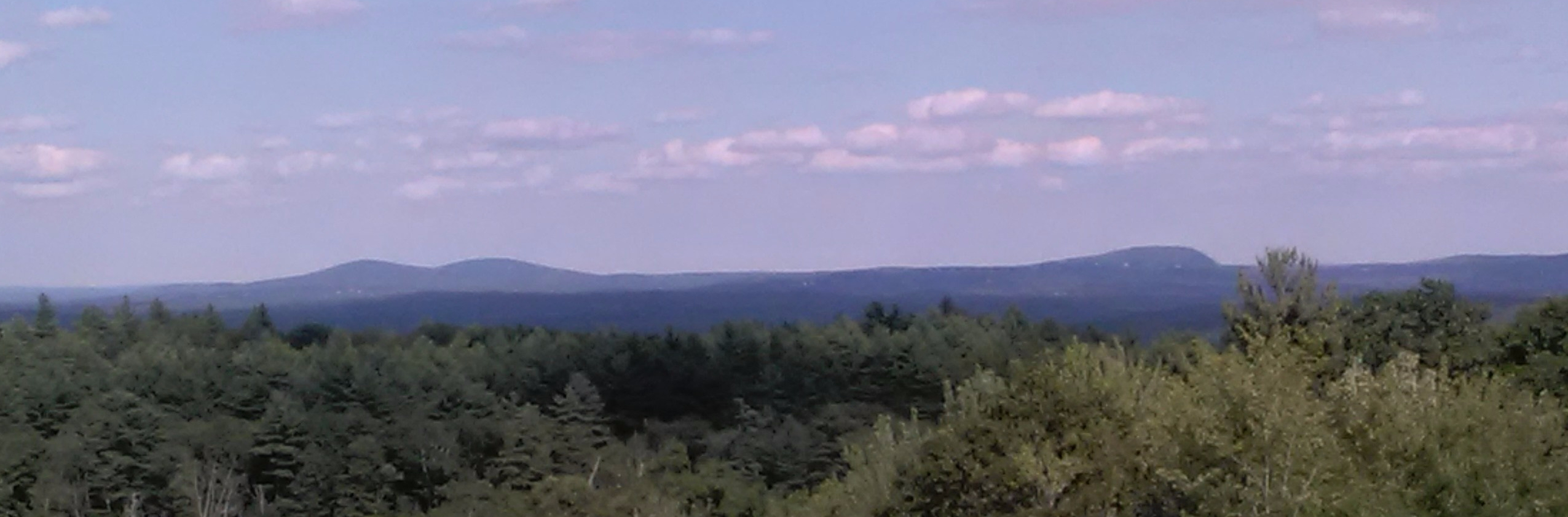
This was a bit of a drive for me, but that was a treat during foliage season. My hike in Moose Mountains Reservation took me to Phoebe’s Nable. That’s right, Nable. I wondered if that was a corruption of “nubble,” but my companions didn’t think so. None of us knows how the feature got its name. No matter – the views from there were fine, and it was possibly the month’s best lunch spot.

The reservation has other trails I had no time to explore. This would make a fine destination for a half-day of wandering through hills, fields, and forest.

Phoebe's Nable
The view from Phoebe’s Nable
property sign for Moose Mountains Reservation

Mushroom season at Winant Park

A late-summer visit to Winant Park in Concord, New Hampshire brought me the sight of tall summer wildflowers blooming cheerfully by the parking lot. Once I passed the information kiosk where the trails begin, there wasn’t a blossom in sight. Instead, mushrooms were all over the place. I don’t know what’s what when it comes to fungi, so I was reduced to simple wonder at the variety of colors and sizes. A hazy day made the usual Winant vista unremarkable, but the colorful forest floor made up for that.

If you can identify these, please drop a comment below. Thank you!

October Gallery: New Hampshire in color

This has been a muted fall in New Hampshire, which is not to say a bad one. There are brilliant trees here and there, but for the most part, this month has been dominated by gold and bronze. Here’s my October sampler, featuring Oak Hill, Horse Hill Preserve, Ponemah Bog, Craney Hill, and Crotched Mountain.

Oak Hill, Concord

It had been a few years since my last walk to the fire tower on Oak Hill. Finally, I got back there. I had been warned about wasps near the cab, but the first frosts must have nipped them.

DSCF2288.jpg
Oak Hill fire tower, Concord NH
DSCF2294
Western view of the Merrimack River valley from Oak Hill. The plume of steam is from a plant near the Concord-Boscawen town line.
DSCF2279
A small notice announces a new trail on Oak Hill, created by Concord High School students.
DSCF2281
The day’s best maple leaves, spotted along the two-mile trail leading to the Oak Hill fire tower.

Horse Hill Nature Preserve, Merrimack

The best color this fall has been in the wetlands, not the hills. A walk to the center of the Horse Hill preserve rewarded me with much brighter foliage than I’d seen just a couple of days earlier on a drive toward the Monadnocks.

fullsizeoutput_5fc
I’m amazed that the beavers haven’t abandoned this lodge so close to a Horse Hill trail. I guess hikers haven’t been disruptive.
DSCF2130
Leaf-peeping in one of my favorite spots in Horse Hill Preserve.

Ponemah Bog, Amherst

DSCF2274
The shrubs and water plants in the bog were showier than the trees.

Craney Hill, Henniker

The NH Fire Towers page on Facebook clued me in to the Craney Hill lookout tower, once a fire tower. Now, it’s open to the public two weekends a year, during foliage season. I made it to the tower just in time – last visitor on the last day!

fullsizeoutput_5f1
Craney Hill lookout tower, Henniker NH.

Crotched Mountain, Greenfield-Bennington

I didn’t stop with the Gregg Trail this time. Two friends joined me for a walk to the ridgetop via Shannon’s Trail. I owe thanks to the folks who managed to get a picnic table up there.

IMG_20171005_103243
The view from the picnic table atop Crotched Mountain: a hint of color, and distant Monadnock. And oh, that sky.

Early Fall: Mt. Skatutakee, Hancock NH

I headed to Hancock hoping to find some autumn color, but foliage season is only skimming the Monadnocks so far. The brilliant colors are a couple of weeks away. I had a beautiful drive nonetheless, followed by a good walk up Mt. Skatutakee on the property of the Harris Center for Conservation Education. (Check the “Trails” tab on that site for maps to local trails.) Great early fall conditions: sunny, cooling down, no bugs.

With or without fall color, Skatutakee’s summit is a good spot for lunch, just as I recalled. I was last there about thirteen years ago on a spring day when the blackflies were ferocious and ladyslippers were everywhere. Views from the summit were obscured by vegetation that hasn’t been trimmed back in awhile.

distant peaks seen through forest canopy
The view from the Skatutakee summit south to Mount Monadnock was limited by the leafed-out trees. 
hazy view of two distant hills from a forested area
North Pack Monadnock (at left) and Pack Monadnock, seen from Skatutakee’s summit.

July, Gregg Trail on Crotched Mountain

The blueberries were gone along Crotched Mountain’s Gregg Trail on this July afternoon, but the Queen Anne’s Lace was in full bloom. A fair trade-off. Besides, there were still some raspberries left. If you’d like to search for them, head to NH Route 31 in Greenfield, New Hampshire, turn onto Crotched Mountain Road, and drive uphill to the trailhead across from Crotched Mountain School.

turkey mom
This hen turkey was just off the trail, cooing softly. I’d never heard such a gentle sound from a wild turkey. A moment later I caught a glimpse of her babies, mostly concealed by the tall grass.
Lyndeborough hills from Crotched mountain
Lyndeborough hills (Rose and Pinnacle) seen from Gregg Trail.
Gregg Trail is graded and switchbacked to accommodate wheelchairs. It ends at an open ledge well short of Crotched Mountain’s summits.
Seen from the Gregg Trail: Uncanoonucs in Goffstown (left) and and Joe English Hill in New Boston (right). 


Waterfall Walk: Coppermine Brook, Franconia NH

A waterfall, good company, and a Bette Davis plaque: welcome to Coppermine Brook and Bridal Veil Falls in Franconia, New Hampshire.

The plaque’s been documented elsewhere, but in brief: in the 1930s, actress Bette Davis was married to Arthur Farnsworth from nearby Sugar Hill, who died in a tragic accident. Someone, supposedly Davis herself, later mounted a memorial plaque on a boulder in Coppermine Brook, with an affectionate inscription to “the keeper of stray ladies.”

Bette Davis "stray ladies" plaque

The Coppermine Brook trailhead is just off NH Route 116. I went there with a friend a few days after heavy rains and flash flooding had left significant road and property damage in the area. Between I-93 and 116, we passed two work crews repairing washed-out edges of roads. The trail itself, alongside the brook, was a bit gullied but otherwise intact.

The trail rises about 1100 feet in two and a half miles to its terminus at Bridal Veil Falls. If you want a shorter hike, the plaque is only a mile or so from the trailhead – but you have to want to find it. No directional signs will help you. It’s on a boulder in the brook, accessible via a clearing that you’ll see between the trail and the brook. The plaque faces downstream.

This out-and-back hike has an average grade of about 8%, if my math is right. It doesn’t feel like an 1100′ climb, although it is. There are no scrambles along the way, and no mountain vistas, but there’s plenty of shade by a cool brook leading to a pretty waterfall. This was a perfect choice for a low-key hike with a friend.

This hike along Coppermine Brook goes partway up the west side of Cannon Mountain, which is more familiar from its other side facing I-93. So to stretch a point, I can say that I’ve hiked Cannon…never mind that I didn’t get anywhere near the summit!