The Rail Trail Challenge: some patch-y thoughts

There’s a colorful new piece in my trail-memento shadow box: the patch noting completion of the New Hampshire Rail Trails Challenge. Over the past few years I’ve walked, and occasionally biked, on every rail trail in the state. That’s hundreds of miles, especially considering that I usually hike alone and don’t have a shuttle to get me back to my starting point. I’ve seen everything coming and going.

I loved this project. It’s open to anyone, with details available at nhrtc.org. Check it out, and you’re bound to discover trails you never knew about. Even a single region’s trails could keep a walker busy all year.

This is the project that got me involved with the New Hampshire Rail Trail Coalition. I’ve had the privilege of serving on the NHRTC board for three years now. I’ll be stepping down soon, after meeting some fine people and getting an education in trail development and maintenance. And it all started with a list of trails and the dangerous thought “hmmm…I could do that.”

Favorites

Presidential Rail Trail, Gorham-Whitefield. I love this one for its views in Pondicherry Wildlife Refuge, not to mention the views of the Presidential Range and Cherry Mountain. This is far from local for me, but I’ve found ways to get up there every year. Maybe I’d get bored with it if I saw it more often. Hmmmm…no. I’d love it anyway.

Nashua River Rail Trail. This is my home trail, so to speak. I know every bit of it from its mile in Nashua, New Hampshire all the way to its southern end in Ayer, Massachusetts. I first rode it the week of its dedication as a rail trail a couple of decades ago. I must have been there upwards of 200 times since then, observing every season’s changes. It’s justifiably popular. The pavement has its figurative ups and downs, but the recent reconstruction on some Massachusetts segments will keep this trail going for many years to come. And hooray for the city of Nashua, which now keeps the big parking lot at the north end of the trail on Gilson Road plowed in winter.

Rockingham Recreational Trail, Manchester-Newfields. The section heading east from Lake Massabesic at the Manchester/Auburn line is a favorite of mine for a quick two or three midday miles after appointments in Manchester. I avoid it during mud season, but the rest of the year makes up for that. The trail is well-traveled near the lake and becomes much quieter the further east I go. It’s close to Route 101, but the trees lining the trail muffle much of the traffic noise.

One-offs

These are a few of the trails I visited only once. Perhaps I’ll be able to return to them another time.

Lilac City Greenway, Rochester. A business trip to Rochester a couple of years ago gave me a chance to walk along this greenway alongside busy Route 125. In town, it looks like a sidewalk rather than an abandoned rail line. Its landscaping and public art make it a cheery feature.

Sugar River Rail Trail, Newport. This one’s up in Sullivan County, another out-of-the-way place for me. I treasure the memory of the day I spent walking nine-plus miles on this little gem. It’s open to OHRVs, which sometimes creates issues for slow trail users like me, but there were no problems during my midweek visit. It’s a shady trail with several interesting bridges along the way. I benefited from a very reasonably-priced shuttle ride on a Southwestern Community Services bus between Newport and Claremont.

Cotton Valley Rail Trail, Wolfeboro-Wakefield. I visited this one the day a local rail car club had an open house. The unique trail has rails in place for little rail motor cars – interesting in themselves – with the hardpack walking/biking path between the rails.

Lilac City Greenway in Rochester, NH
Lilac City Greenway, Rochester NH. Photo by Ellen Kolb.

I found hiker-friendly towns that I never would have visited if I hadn’t been on a mission to explore every trail. When echoes of Covid restrictions were still in the air, I stopped in Lisbon on the Ammonoosuc trail and found cheerful hospitality. While heading for the Warren rail trail, a driver from a hostel catering to Appalachian Trail hikers agreed to give me a shuttle ride that saved me two hours of walking. (Best five bucks I spent all that week.) The folks at the general store in Danbury along the Northern Rail Trail took one look at my sweaty face, halfway through a 15-mile day, and showed me first to the restroom and then to the cold drinks. I came across such kindnesses all over the state.

You can search this blog for many rail trail posts I made during the Challenge. I hope you’ll take the Challenge yourself. If that’s too big a project to tackle, explore one or two of the trails near you. May your adventures be as rewarding as mine.

All photos by Ellen Kolb.

Close to home, summer pours in

Only last year, we were concerned about drought in my region. I loved the dry trails throughout summer and fall, but then there was an uneasy November afternoon when a fire behind my house crept through dry duff and brush up to the edge of my yard. (My town’s firefighters did a fine job that day, which is pretty much what they do all the time.)

I’m not anticipating any such excitement this year, at least not in early summer. June has brought rain and lots of it. Maintenance of unpaved trails has been a challenge. Trailside vegetation is growing lushly in defiance of mowers and weed-whackers. My supplies of permethrin and DEET will need replenishing before the season’s out, since pests like ticks and mosquitoes love this sort of environment. And you know what? I’m fine with all of that.

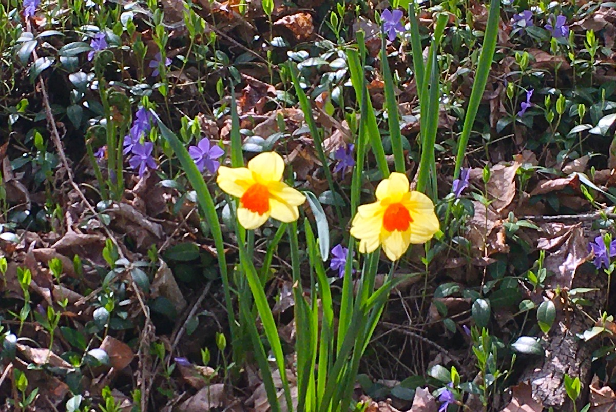
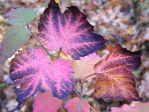
Mountain laurel and sheep laurel are having a magnificent year. Even the buds were beautiful, giving me a week’s notice of the bounty to come.

Close-up of mountain laurel shrub with white blossoms and flower buds.
Mountain laurel, in bud and bloom. Photos by Ellen Kolb/Granite State Walker. This and other photos on the site may be reproduced unedited with attribution.

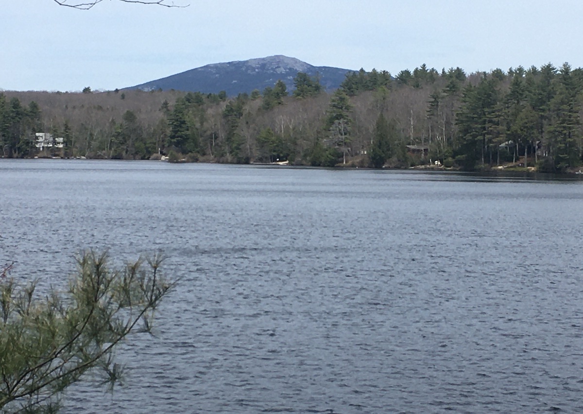
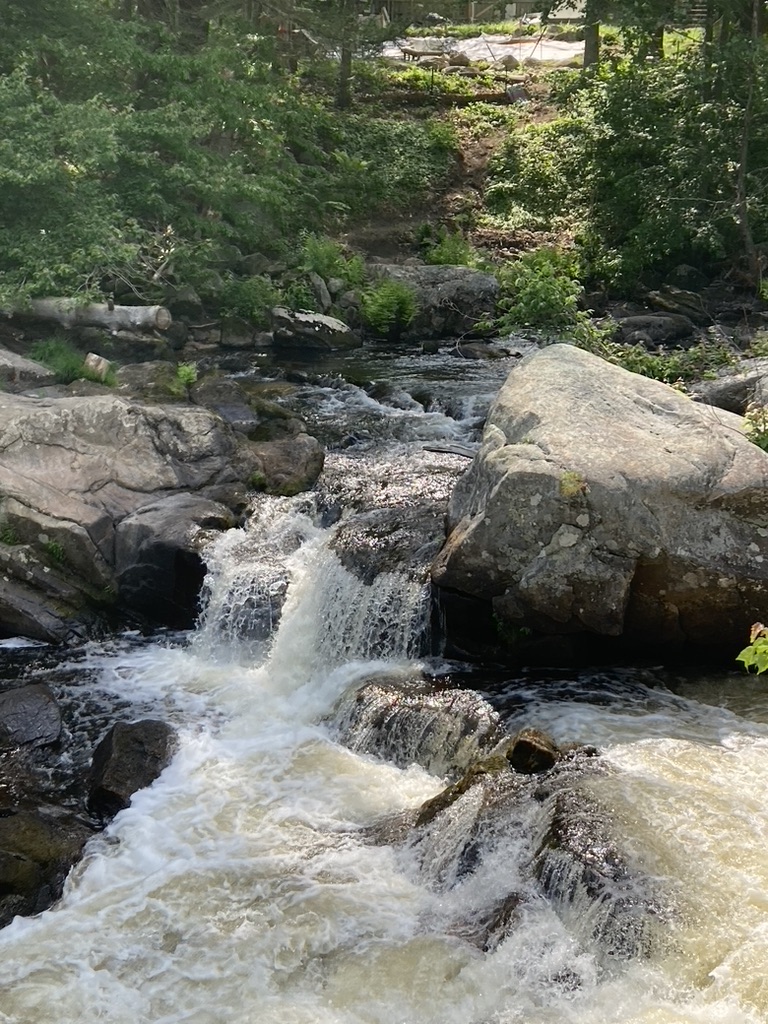
The Souhegan River sure looks good after last year’s low levels. It has stayed within its banks so far. I love being able to hear the river as I walk through my neighborhood! Last year, it made barely a sound as flowed by slowly. Wildcat Falls, within one of my town’s conservation properties, has been worth several visits this month.

River flowing over rocks, creating small waterfalls
Souhegan River at Wildcat Falls, southern NH, June.

Several factors have kept me close to home lately, but I’m enjoying plenty of good walks. I went back to the Andres Institute of Art in Brookline to see what was new on the trails. This unique venue is set up on what was once a very tiny ski area. What used to be ski trails are now walking trails, with sculptures around every turn. New sculptures are installed every year, created by a variety of artists from all over the world. There’s no visitor’s center, but checking the website at andresinstitute.org will help orient the first-time guest. One of my favorite places on the site is at the modest summit. “Phoenix” by Janis Karlovs of Latvia adorns the view to the west.

Outdoor sculpture titled "Phoenix" on a New Hampshire hill with a ridge of hills in the distance.
At the Andres Institute of Art in Brookline NH, sculptor Janis Karlov’s “Phoenix” seems to point to the Wapack Range in the distance. Note the rain clouds that characterized this rainy June.

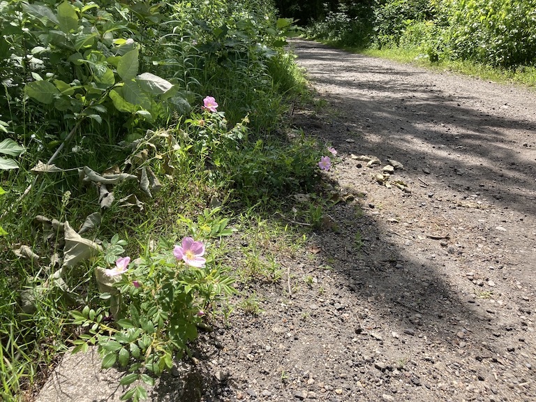
Rain has left the Rockingham Recreational Trail in Auburn soft but not too muddy. The walk eastward from the Lake Massabesic parking lot is one of the best quick lunchtime getaways that southern New Hampshire has to offer. Midweek is ideal. On the edge of New Hampshire’s largest city, sometimes within sight of busy route 101, the trail is a place of quiet refreshment for me. Wild roses were blooming as I walked through recently. I caught the fragrance before I saw the blossoms.

Unpaved rail trail in New Hampshire with wild roses growing along the edge.
Along the Rockingham Recreational Trail in Auburn NH, you’ll catch the fragrance of trailside roses before you see them.

That’s not too bad for a rainy June. I could stand a little more sunshine, but summer is young. Clearer days are ahead.

Short climb, grand view: Mt. Kearsarge via Rollins State Park

My last visit to Mt. Kearsarge in Warner, New Hampshire was a few years ago, as the fire tower was being rebuilt. I recently decided to go back for my first uphill walk since the virus-in-the-news laid me low earlier this year. From the upper end of the auto road in Rollins State Park, which is a treat in itself, I hiked the half-mile-long Rollins trail to the Kearsarge summit.

fire tower on Mount Kearsarge in Warner, New Hampshire, accessible from Rollins and Winslow State Parks. Photo by Ellen Kolb.
Mt. Kearsarge fire tower, Warner NH. Ellen Kolb photo.

It was a splendid morning at the end of August. A muggy summer heat wave had just broken, giving way to clear dry air and brisk breezes. As self-imposed rehab assignments go, this hike was unbeatable.

Summit cairn, Mt. Kearsarge. Ellen Kolb photo. Twin hills in far distance at left are the Uncanoonucs in Goffstown NH.

The hills and trails of southern New Hampshire spell home to me. I looked south from Kearsarge’s summit cairn and scanned the horizon: the Uncanoonucs in Goffstown, Joe English hill in New Boston, a view of the Wapack Range from the north – is that Crotched Mountain ski area nearby? – and aloof and stately Monadnock.

The ledgy summit features a 360 degree view, in case someone finds the view of the southern hills unsatisfactory. My advice is to soak it all in.

At $4, park admission is a bargain. See nhstateparks.org for up-to-date information on fees and maps for this and other state parks. Kearsarge is home to two of those parks. Rollins from the south features the auto road and a short hike; Winslow from the north offers longer trails. The Sunapee-Ragged-Kearsarge Greenway makes its way over the summit as well.

The auto road closes to motor-vehicle traffic in November and usually re-opens on Memorial Day weekend. I enjoy walking on the auto road in the off-season when the weather allows, sharing the road with other walkers and ambitious bicyclists. The summit is out of reach for the likes of me until the snow and ice are gone, but there are a few vistas along the auto road that make an uphill walk worthwhile.

If you enjoyed this post, I hope you’ll consider supporting this Granite State Walker blog. Thank you!

Parks and rail trails go together

By Ellen Kolb. Originally published by New Hampshire Rail Trails Coalition.

The Granite State has more than 300 miles of rail trails, along with more than 90 state park properties. Why not explore one of each in a single trip? You can create your own itinerary with the information you’ll find at nhstateparks.org and nhrtc.org. Here are a few ideas to get you started.

Take Route 101 to exit 5 in Raymond and head north to Pawtuckaway State Park. Take your pick of activities there, with a lake, a fire tower, and a boulder field awaiting your discovery. Later, head back toward 101 and set your map app to “Raymond B&M Depot” or “Raymond Historical Society.” There, you’ll find a restored train depot and a parking area from which you can set off for a walk on the Rockingham Recreational Trail.

Read the rest of the post at nhrtc.org for more ideas.

Spring on Cheshire roads and trails

Cheshire County, New Hampshire is best known to outdoors enthusiasts for its most dramatic geological feature, Mount Monadnock. I have nothing against the mountain, except that I can’t seem to get to the summit and back without an injury of one sort or another. That’s not a problem. The Monadnock region offers plenty of options that have nothing to do with hiking uphill.

Rockwood Pond in Fitzwilliam , New Hampshire, with Mount Monadnock in the background.
Seen from the Cheshire Rail Trail in Fitzwilliam: Rockwood Pond with Mount Monadnock nearby. Photos by Ellen Kolb.

As part of the New Hampshire Rail Trails Challenge, I’ve been exploring rail trails all over the state – but I’ve barely touched southwestern New Hampshire, aside from a few miles in the town of Troy. This is the year I’ll get busy out in that direction. I got off to a modest start recently on a short segment of the Cheshire Rail Trail in Fitzwilliam.

What a day! Weather was pleasant. The flying insects were not yet out in force (but alas, the same couldn’t be said for ticks; I came prepared with permethrin-treated clothing). Deciduous trees hadn’t yet leafed out. That left the hemlocks and pines to shade me, and as a bonus, the breeze through their boughs was like music.

Parking along long trails like the Cheshire can be a problem. Not every road crossing has room nearby for cars to pull over. I decided to begin my walk at Rhododendron State Park, a mile away from the trail. No trouble parking there. The park’s signature rhododendrons won’t be in bloom until July, but spring wildflowers abounded in the park’s grove and along its trails.

daffodils and violets, flowers

Spring flowers at Rhododendron State Park

From there – pull out your maps app now – it’s a mile along unpaved Rockwood Road to the the intersection with rail trail along Rockwood Pond. Rhododendron Road provides a shorter but less interesting link.

The scenic highlight of the day was the view of Monadnock seen from the shores of Rockwood Pond. Pine trees tried to obscure the view, but I found my way through them.

From the pond, I headed south. The trail was unpaved, wide, and shaded. It’s a snowmobile trail when there’s snow cover, but motorized vehicles are supposed to stay off the rest of the year. Wide ruts in some soft sections of the trail told me that an ATV driver or two had ignored the restriction. Aside from that, the trail was in good condition between the pond and state road 119. South of there, the trail was full of roots and rocks, looking like a typical New Hampshire woods walk. I got as far as Royalston Road before turning around.

I had thought about stopping in Jaffrey on the way home for a cone at Kimball Farm, but the twenty or so cars overflowing onto Route 124 from the Kimball’s parking lot made me abandon that idea. I’ll be back another day.

Subtly Spring

“Show me some spring pictures,” a reader recently asked me. He was looking for budding trees and fresh green growth. Perhaps I can oblige him in another week or so. For now, the signs of spring are subtler.

It’s mud season, but the trails at Horse Hill Nature Preserve in Merrimack were in remarkably good shape the other day. The herons were back on Lastowka Pond, croaking and courting. I could see that the beavers had been busy along the shoreline, taking down a big tree that barely missed a bench as it fell. Deeper into the woods, I smelled freshly-cut lumber on a refurbished bog bridge.

Simple wooden bridge on forest trail
Early-season work by trail maintainers: a refurbished bridge. Photos by Ellen Kolb.
Trees with beaver damage
The beavers are in town: this pair of trees had been untouched a week earlier.

On a recent walk through Mine Falls Park in Nashua, I looked for swans in the cove but found none. Some years, there’s a pair that bullies the park’s Canada geese into the cove’s farther reaches. The geese are safe for now. I was glad to see blackbirds amid the reeds that edge the cove; I missed them in winter.

Blackbird amid reeds
Blackbird, nearly hidden in reeds

Business took me to Loudon recently, and I added a couple of hours to the trip so I could visit nearby Belmont and discover the Winni Trail, a paved rail trail along Lake Winnisquam. That was one of my better detours.

Winni trail logo, Belmont NH

I had the advantage of a fine sunny day, with cool air and miles of visibility. A stretch of trail went through the woods, with lake and rail line out of sight, and then broke into the open to hug the shore alongside the rails. Good thing someone thought to set up a few benches along the way; the views are definitely worth stopping for.

Lake Winnisquam, Belmont, New Hampshire, from rail trail
Seen from the Winni Trail: a railroad signal mast, Lake Winnisquam, and the hills of the Lakes Region.

It was my first experience with rail-with-trail, where a trail shares the right-of-way with an active rail line. That particular line is owned by the state of New Hampshire, not by a rail corporation, and I suppose that might have simplified development of the trail.

The shared right-of-way continues into Laconia on the WOW Trail (for Lakes Winnisquam, Opechee, and Winnipesaukee). Someday, with a lot of cooperation and investment and volunteer work, there could be a continuous recreational rail trail linking WOW in Laconia with the Winnipesaukee River Trail in Tilton via the Winni Trail in Belmont. That’s a project to cheer for, if Belmont’s trail is indicative of what’s ahead.

Winni trail, rail trail in Belmont New Hampshire, in early spring.
Early spring on the Winni Trail