Do you have something to celebrate, but you’re not sure how? Walking works for me.
My original plan for this year was to celebrate my birthday with a flourish. I’d backpack on my favorite New Hampshire rail trails, maybe over five days or so, for a number of miles equal to my age.
Ultimately, the plan was modified in every respect except the number of miles I wanted to walk. Dayhiking instead of backpacking; eight days, not five; August, not the actual month of my birthday. I included roads and park paths as well as rail trails. I skipped around New Hampshire, and even crossed into Maine for a bit.
Mission accomplished. I’ll help myself to cake at the earliest opportunity.
Let me share some highlights. Maybe you’ll get ideas for your own celebrations. I’ll split this into three posts, so if you like this one, you can look forward to two more shortly. If you don’t like this one, you can tune in later to see if I’ve upped my game.
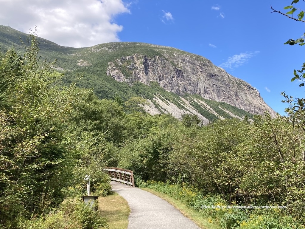
Franconia Notch State Park
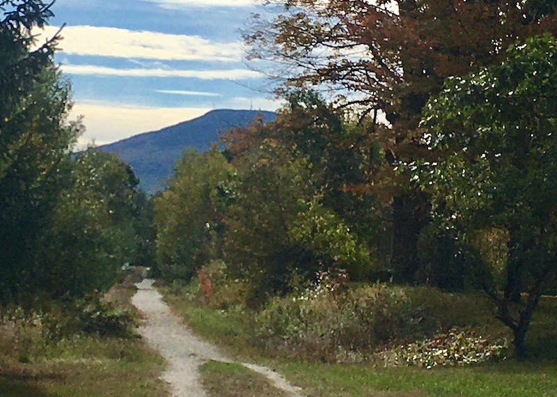
I’ve driven on I-93 through the notch more times than I can count. Knowing that Franconia Notch State Park has a paved recreational trail 9 miles long, I thought it was about time for me to enjoy the area at walking speed.

The rec trail was a treat, once I came to terms with the cyclists sharing the path. There were more than a few e-bike renters who weren’t quite at home with their vehicles on the downhills. We gave each other space and cheerful greetings. I was there midweek, and I expect the experience might have been more hectic on a weekend.
I started at the Flume visitor center at the south end of the notch, and worked my way north. I stopped at the pretty Basin for a few minutes, and gave serious thought to joining a few people wading in the shallow Pemigewasset River just upstream. Warm day, cool water…but I kept going, knowing that up at Profile Plaza I’d find a place to enjoy my lunch with views of the surrounding mountains. The walk back to where I was parked was downhill, and I made sure to listen for speedy cyclists coming up behind me.
Towards the southern end of the rec trail, I was on the Appalachian trail for about 30 feet. Maybe 20. We briefly shared a bridge, you see. AT hikers go through Franconia Notch the hard way. It wasn’t the last time I’d cross the AT on this trip.
I packed too much sweet stuff in my lunch bag. The rec trail goes through Lafayette Campground, where I found a nice little store stocked with Goldfish crackers. Pardon my crumbs.
If you head to the Notch and want to get oriented, the Flume visitor center at the south end of the park is the place to go. I used the nice clean bathroom there, knowing that facilities in the coming days were likely to be a bit more rustic.
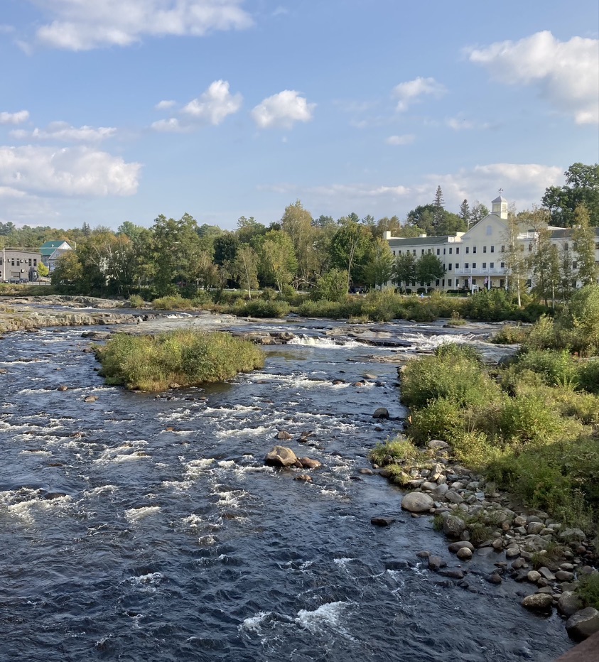
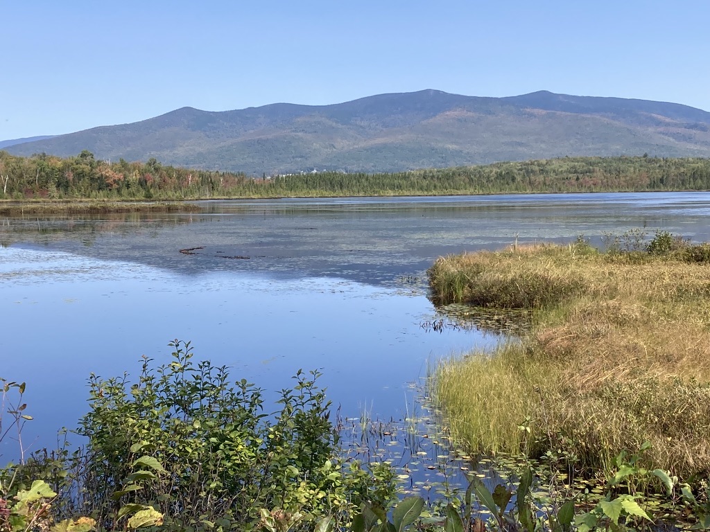
Coming up in part II of the trip journal: two days and half of my miles were on the Presidential Rail Trail, which extends from Whitefield to Gorham. The first day was cloudy, the second brilliantly sunny, and each was splendid. Part III will cover the serene walk along Hogan Road, a unique section of the Cross New Hampshire Adventure Trail.
You can help Granite State Walker get to the next trailhead, simply by clicking on Buy Me a Coffee. Thank you!