I had never before been tempted to approach New Hampshire’s Mount Monadnock in December, but today’s fall-like conditions were too good to pass up. An early December with next-to-no snow is rare on the mountain. Monadnock isn’t a frequent destination for me, but each visit rewards me with good views and a variety of trails. The mountain sometimes sends me home with a lesson or two as well, and it did so today with some firmness.
What amazing conditions! Trail runners in t-shirts and shorts zipped past me. There was mud along the way, and skims of ice were forming in spots, but the going was mostly easy. I ascended via the Cascade/Red Spot/Pumpelly trails, deciding along the way to go clear to the summit even though that hadn’t been my original plan. I’d never been on either Red Spot or Pumpelly, and they were a nice change from the Halfway House and White Dot trails. My first few trips up Monadnock were on the steep and crowded White Dot trail that begins near park headquarters. I swore to myself after those hikes that I’d never go back again. Then I finally got smart and started taking other trails. What a difference!
The blazes on Red Dot could stand some repainting, but the trail is pretty wide and easy to follow. It helps to have patience to go along with the trail map. (Don’t ever start up Monadnock without a map, which you can pick up at park headquarters. There are many trails, and it’s easy to get lost.)
I noticed things I can’t see when the trees are in leaf. For once I got to see Monadnock’s songbirds, not just hear them. I’m not sure if they were singing just to delight me or if they were making noise to warn their neighbors about the approach of a noisy hiker. I saw ground-level ice formations, some of which were quite beautiful.
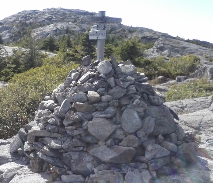
I shared the summit with a grand total of three people. That’s December for you. (I was once there on a Columbus Day weekend with about 150 people.) The wind at the summit was too brisk for me to sit and enjoy my lunch there. I lingered for about five minutes, treasuring the quiet and the views, then started down to beat the sunset. It was 2:30, with sunset coming at 4:15. I had to scoot, so I resorted to White Dot, the most direct route back to my car. Big mistake.
White Dot heads down rather precipitously. Every Cub Scout in southern New Hampshire has probably scampered up and down that trail at one time or another, but I don’t like it one bit. I had a trekking pole, and I needed it. I walked slowly enough that one passing hiker asked how I was doing. I assured her I was fine. A few minutes later, my cautious pace proved to be not cautious enough, somewhere between White Dot’s junctions with the old ski trail and Cascade. Not once, but twice, I slipped in mud and went bumping and sliding until I hit solid pieces of granite. The first fall snapped my trekking pole. The second was downright humiliating. I was grateful I had no audience. Of course, if I had injured myself badly, my solitude would not have served me well. I take my chances when I hike alone.
Once I got up and brushed off the mud, my pace slowed still more as I babied a sore ankle. I had an uneasy feeling about getting back to the parking lot before sunset. I had all the standard dayhiker gear including a flashlight, but I hoped I wouldn’t need it. As it happened, I got to the car at precisely 4:15.
I will undoubtedly feel the bruises tomorrow, but the hike was worth the effort. I still hate White Dot, but that’s not the same as hating the rest of the mountain. I’d like to go back in the wintertime, after a good snowfall, and snowshoe all over the lower slopes. There’s a prospect to warm a flatlander’s heart.