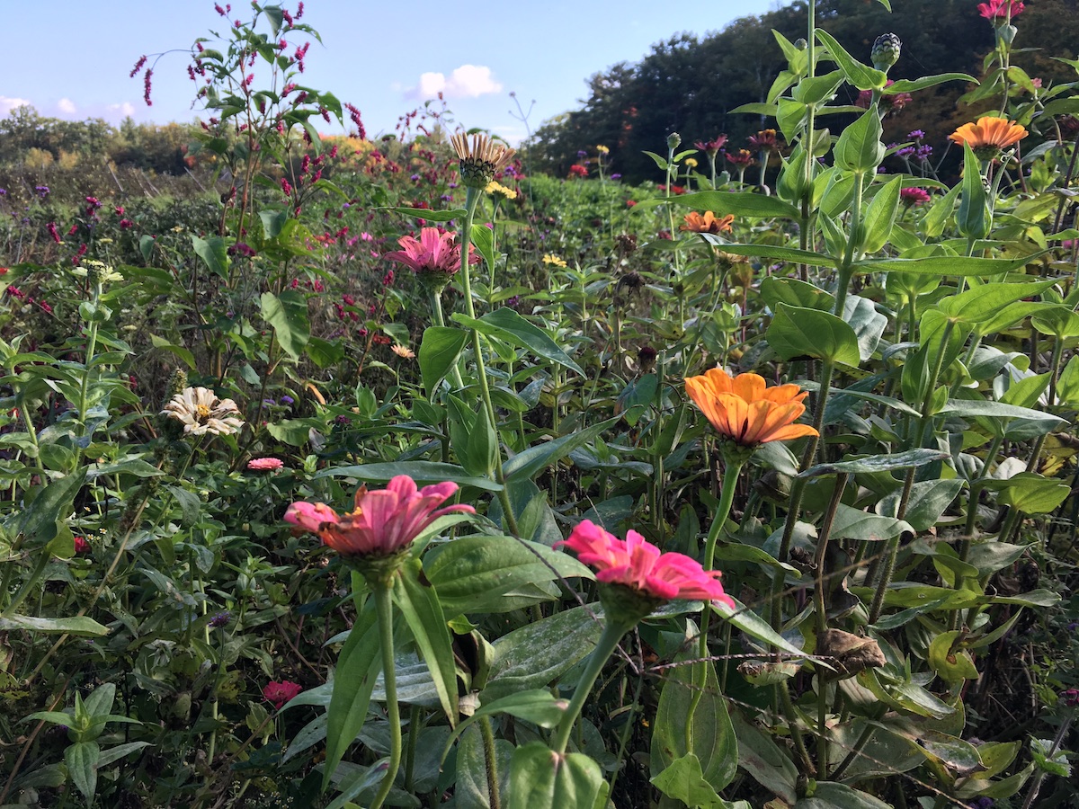
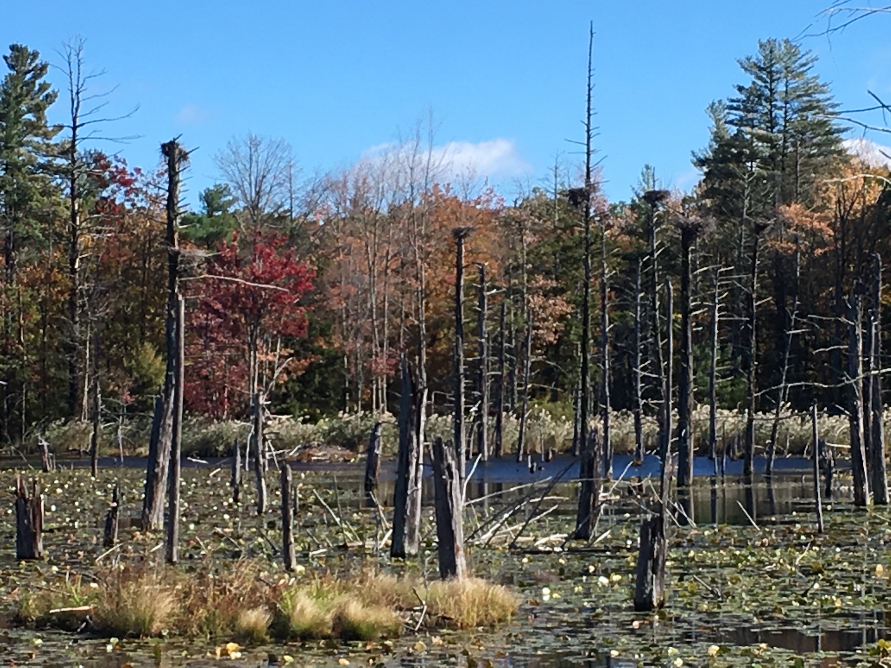
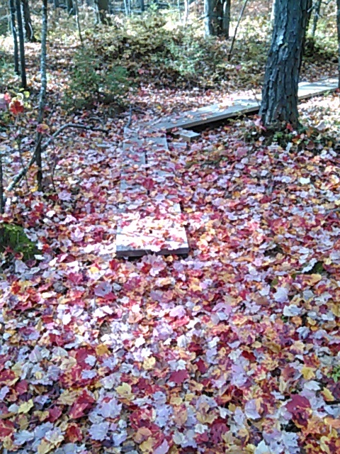
As Octobers go, this one has been a beauty in my corner of New Hampshire. We’re in that annual golden time, post-bugs and pre-ice. Literally golden, too. The trees are glowing.

Pulpit Brook Trail, Bedford and Amherst
I hadn’t visited Bedford’s Pulpit Rock conservation area in years. A recent mailing from the Bedford Land Trust advised me that the Pulpit Brook trail from that property now extends into Amherst and the Joppa Hill farm. When I compare a newer map of the Pulpit Rock area to my old map from 1997, it’s striking to see how much the conservation area has been expanded with the cooperation of area landowners. I like seeing a greenway linking towns.

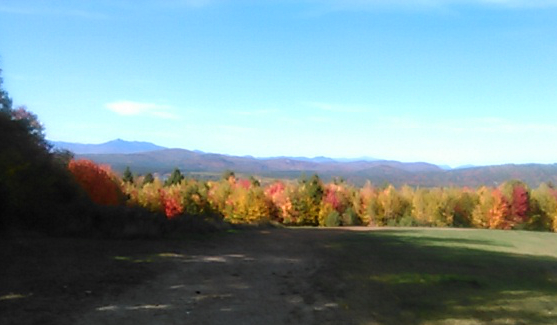
Silver Mountain, Lempster
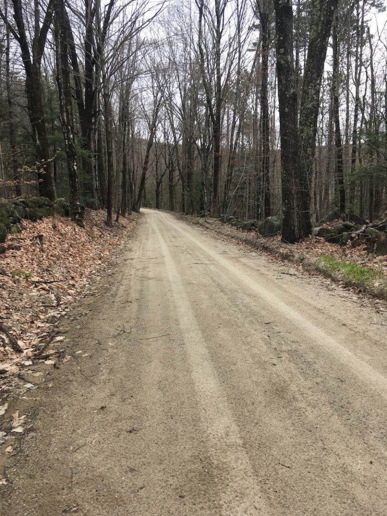
The Forest Society’s Five Hikes in Five Weeks program led me to this unassuming little hill with fine autumn views. The drive in was a little hairy: Lempster Mountain Road is paved and fine, and from there South Road is unpaved and sort-of fine, until it isn’t. The last few tenths of a mile of road before the trailhead feature a single lane with deep ruts. It must be all kinds of fun in mud season. At least it’s dead-flat.
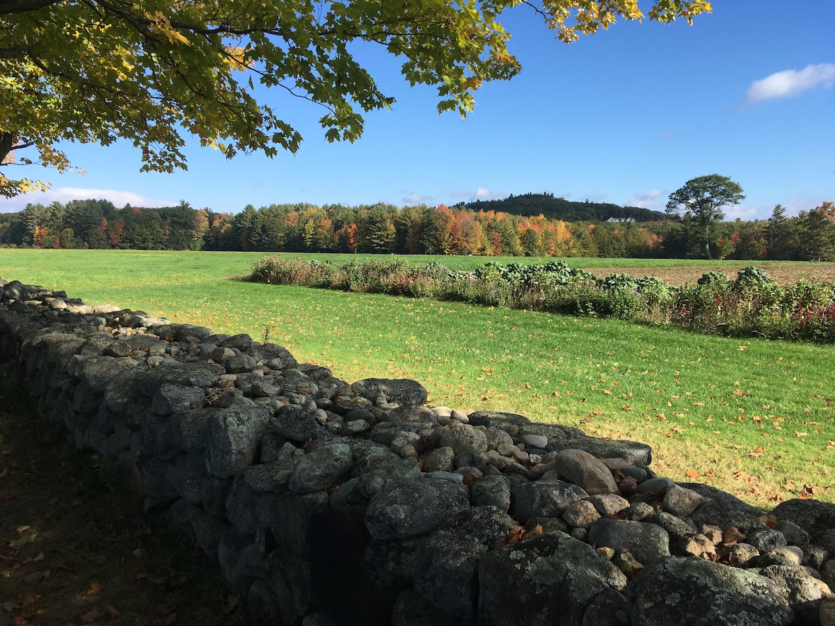
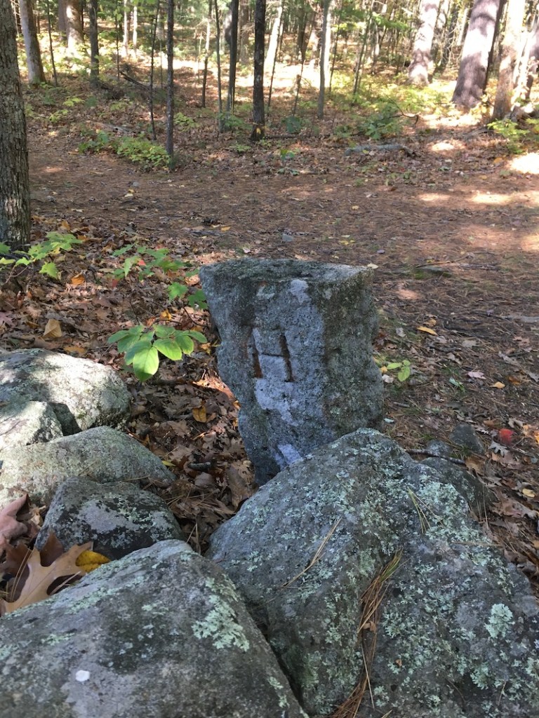
But after a couple of minutes of bouncing along…what’s this? A parking area with decorative stone posts. On a dirt road in Sullivan County, no less.
From the parking area, the woodsy walk up to the open summit of Silver Mountain is easy.


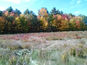
Kidder Mountain, New Ipswich
Here’s another spot I hadn’t visited in ages, just off the Wapack Trail. I had hiked up to Kidder with my son about fifteen years ago, and I recalled it as another one of those easy hills with great views (like Silver Mountain, come to think of it). I’m sorry I waited so long to come back.
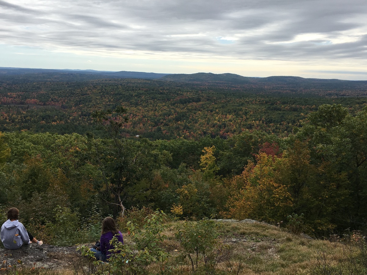
The summit vegetation has grown in over the past few years, but the views to the south and southeast are still satisfying. There’s a great view of the southern Wapack Range from Barrett Mountain to Mt. Watatic.

On my recent visit, I shared the summit with a young family. One of the children was a boy, maybe five years old. He surveyed the Wapack Range, and announced excitedly, “I see a volcano!” His dad took the news calmly. The boy wanted a livelier response. “I see lava!” At that point, I thought okay, I’ve got to see what this is about.
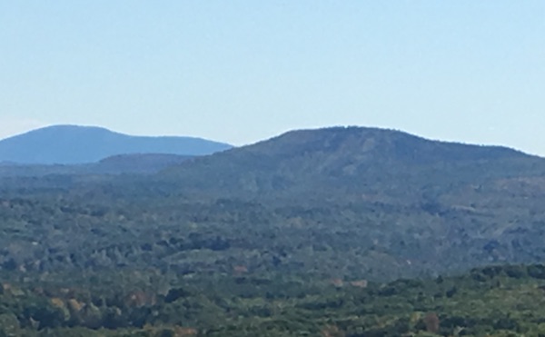
I moved a little closer to see what the boy was pointing at. It was little Mt. Watatic just across the border in Massachusetts. It had a ski area long ago, and there are still faintly-discernible ski trails. To a five-year-old, those old trails looked like lava flows. I hope I never forget the look on that little boy’s face as he watched Mt. Watatic expectantly, hoping against hope that it would blow its top and show those Monadnocks who’s boss.
Sometimes the best part of a hike isn’t the hike.