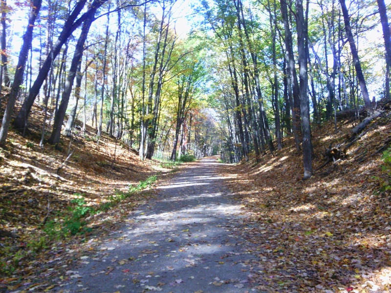
New Hampshire’s Piscataquog Rail Trail finally reaches across the Piscataquog River, connecting Manchester with Goffstown. I put off some workday tasks long enough to walk the trail from its east end all the way across the new bridge. With all due respect and gratitude to the many people who made the project happen, I didn’t stay for the ribbon-cutting and speechifyin’. Trails are for walking.
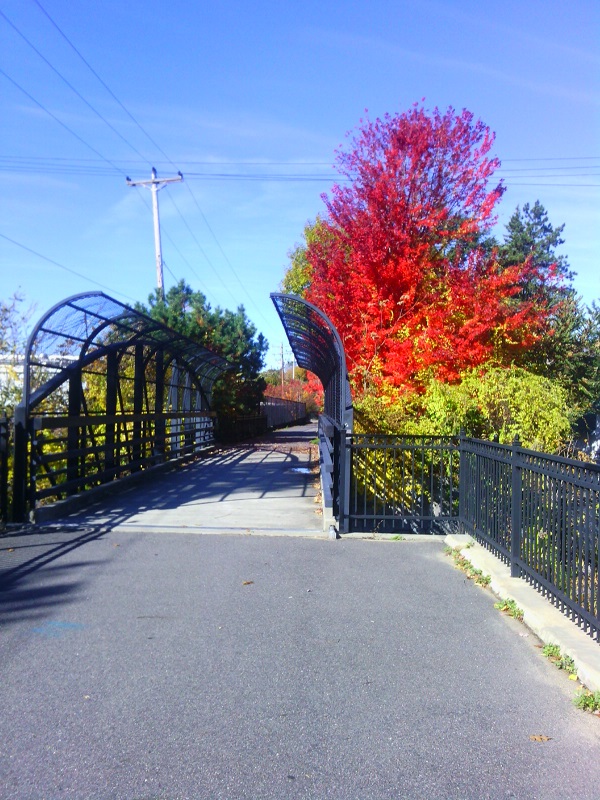
On the Manchester side, looking toward Goffstown, at long last. Ellen Kolb photos.
On the Goffstown side.
I call this right neighborly.
Second Street bridge, near east end of Piscataquog Rail Trail.
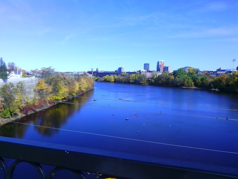
The Queen City: Manchester, New Hampshire, seen from the Hands Across the Merrimack bike/ped bridge.
The Singer family is behind many philanthropic efforts in the Manchester area. Their generosity helped to complete the bridge project.
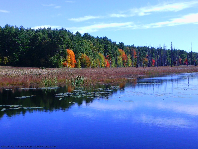
It’s Saturday, and I walked today another nine miles on a very familiar path. I’m reminded again that I’m no photographer, My pictures, taken on a phone, might seem like generic New Hampshire foliage shots – but each one is of a spot I’ve seen in all seasons for more than a decade now, on unhurried walks like this one.
Unkety Brook, Dunstable MA; osprey nest atop tree at right. All photos by Ellen Kolb
When the Nashua River Rail Trail opened in 2002, an osprey nest was visible from the bridge over Unkety Brook. I look for it every year. It has taken a beating, and after one storm – was it the Halloween snowstorm of 2011? – it looked destroyed. Two springs later, the osprey were back.
Unkety Brook, Dunstable MA
There’s a farm field bordering Unkety Brook on the north side. Nothing but corn stubble remains from this year’s crop, visible as the whitish ground cover in the center left of the photo above. We had a very dry summer, and Unkety looked low in July and August. The water level looks better heading into fall.
Nashua River Rail Trail, Pepperell MA
The glaring sun reminded me all afternoon that it would have been a good idea to wear a visor. It’s definitely autumn, though: the sun was much lower than at the same hour even a month ago, and it was fleece-pullover weather.
Nashua River, East Pepperell MA
I have an AMC River Guide from 1978, more useful at this point for history than for navigation. About the Nashua River in Pepperell, the writers fretted: “From [Groton] to East Pepperell, the river is not attractive, as the increase in water level has flooded swampland and killed the trees.” Much has changed in 30-plus years, and the area upstream from the dam in Pepperell is now in my opinion the loveliest part of the river.