Among the treats of this season in southern New Hampshire have been community walks organized by municipal agencies. The Manchester Police Department and Goffstown Parks and Recreation have been leading popular events on local rail trails. I joined a few of them, and saw for myself how important the trails have become to local residents.
Both of these programs were free of charge when I attended, and both were held on weekday mornings,
Big turnout for Manchester Senior Walks
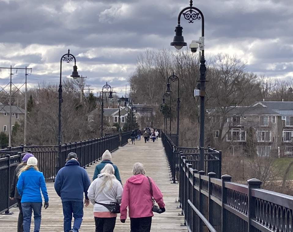
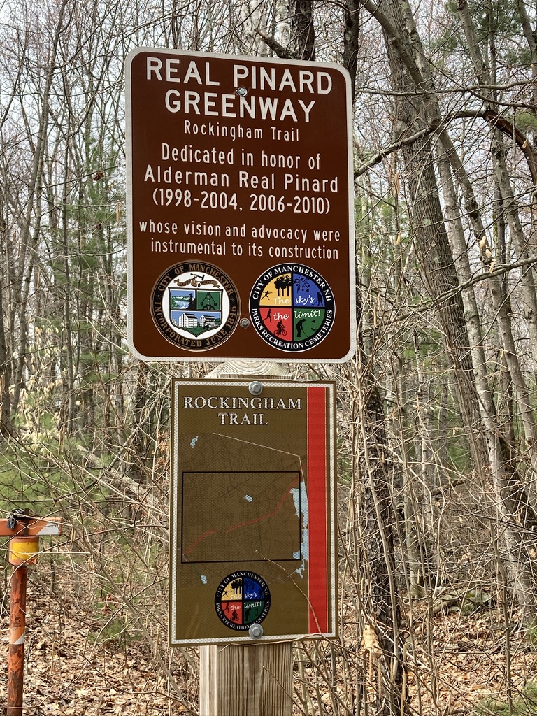
I learned via social media about weekly springtime Senior Walks offered by the Manchester Police Department’s Community Affairs officers. When I showed up for one along the Piscataquog rail trail, I was surprised to find over a hundred people ready for the morning’s outing! The crowd was even larger for a walk later in the season on the Rockingham Recreational Trail.
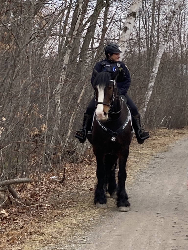
The Senior Walks program was new to me, but clearly it was well-known to many Queen City residents. Each walk lasted for an hour, with a 30-minute turn-around time. No rush: walkers were self-paced, and simply turned around at the 30-minute mark, no matter how far they’d gone. Traffic control at road crossings was excellent. The Department’s Mounted Division got into the act, too, with Officer Miano aboard the gentle-but-imposing (16 hands high!) General Stark. A bonus: each walk ended with refreshments provided by local businesses.
For my cross-state project, I wondered about the best way to cross Manchester. These Senior Walks showed me the way: Valley Street with its sidewalks and pedestrian crossing lights let me link the Piscataquog rail trail on the west side of the city and the Rockingham Rec trail on the east side, with just a little jog along side streets at each end.
A warm welcome in Goffstown
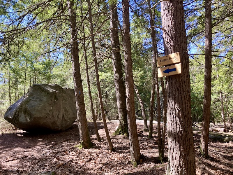
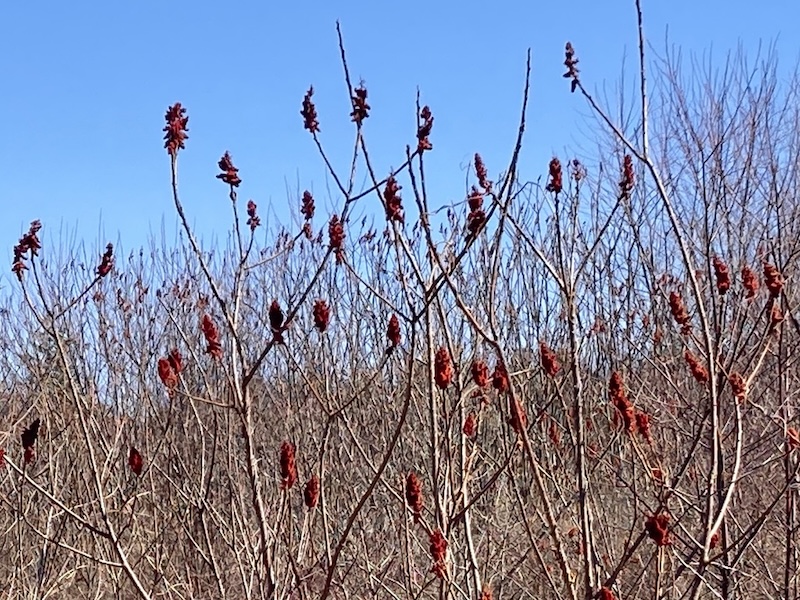
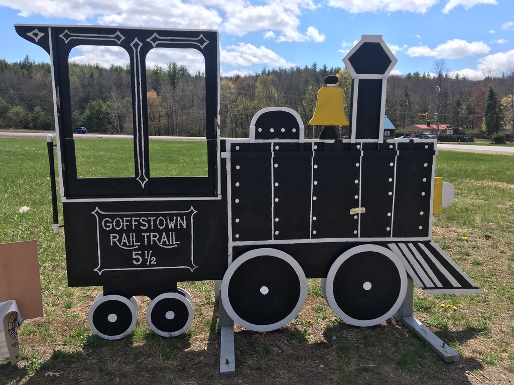
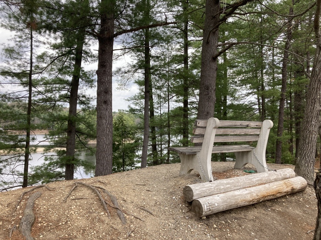
I’m always happy to get out to the well-maintained five-mile-long Goffstown rail trail. The Parks and Recreation department in town has been offering weekly guided walks of varying distances on the trail, and as soon I heard about that, I resolved to join one as soon as my schedule allowed.
When I arrived at the Parks and Rec office on the morning of my chosen walk (the trailheads vary each week), I was welcomed by a small friendly group led by a Parks and Rec staffer. The trail includes two signaled crossings of busy NH Route 114, and I’m always nervous about getting across that road, but the fear factor went down to zero with a dozen people crossing together. (Kind of like being a pedestrian in Boston, now that I think about it.)
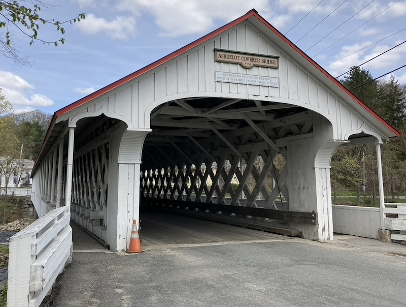
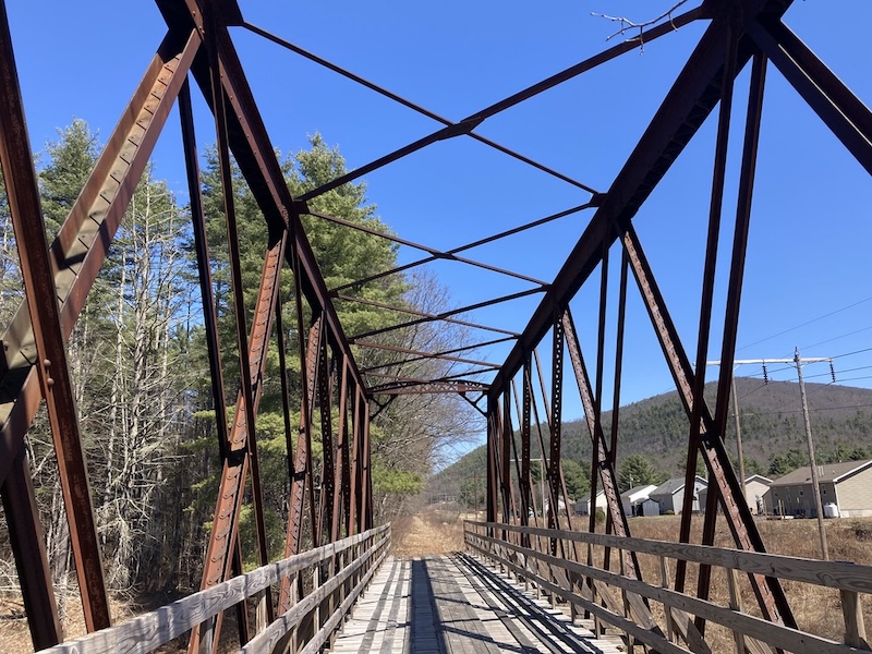
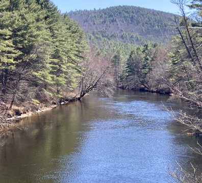
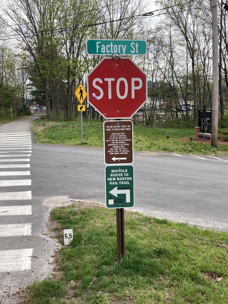
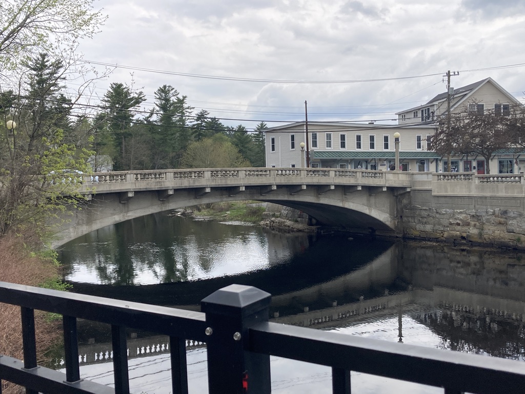
Our walk that day was pretty much in the middle segment of the trail. When our group returned to the office, I decided to keep going. I seldom get to the westernmost end of the trail. I was delighted to find that since I was last there, signage has been upgraded significantly for both trail navigation and parking. As I stood at the western end of the trail and looked out at the Piscataquog River and town center, I tried to imagine how the rail line must have looked with its covered rail bridge there once upon a time. The rail bridge is long gone. We’re left with a rail trail that extends all the way to Manchester’s Piscataquog trail, linking the state’s biggest city with its quieter neighbor.
I hope you enjoy this post! You can search this blog for 20 years of essays and trip reports about New Hampshire trails. I welcome your support to get to the next trailhead.