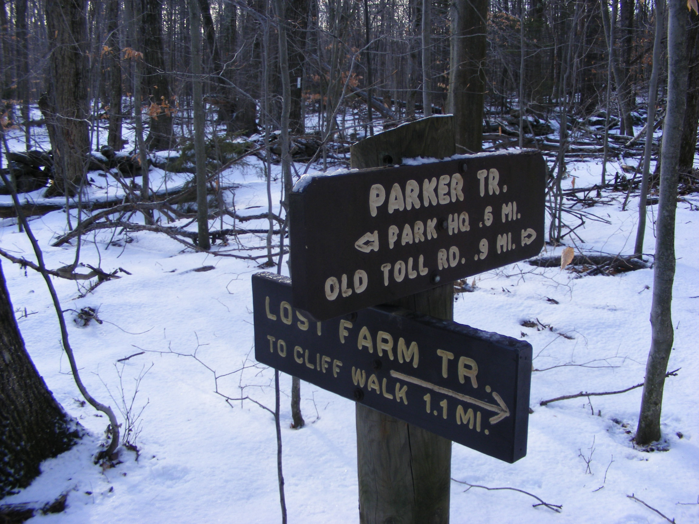
I decided to bring in 2014 by heading to Jaffrey, New Hampshire and Mount Monadnock for a First Day Hike sponsored by the good folks at Monadnock State Park. Two routes were offered. I chose a nature hike along the low and flat Parker Trail, accompanied by guides from the park and from the Forest Society.

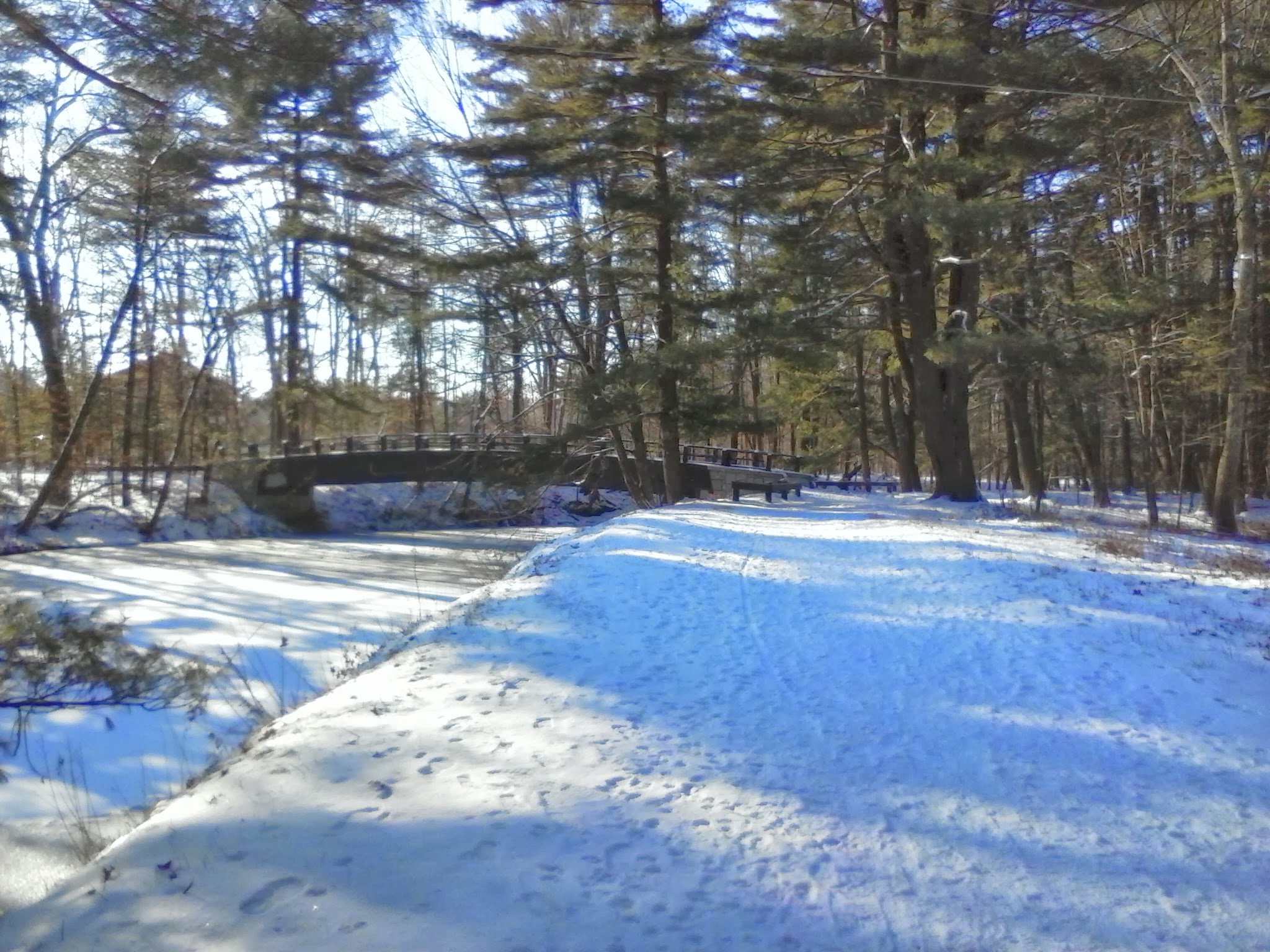
I left my snowshoes in the car and strapped traction aids to my boots when I saw how icy the trails were. The temperature was about 15º, and I can tell you now what happens when you carry granola bars in your backpack on a 15º day: the bars freeze solid. (Next time, I’ll carry them in an inside coat pocket.) Lots of sunshine, though.
We were led by Meredith and Brenda of the park staff, along with a specialist in land conservation from the Forest Society. I soaked as much as I could as they talked about forest management, wildlife habitat, and the history of the mountain. We walked at a very leisurely pace along the quiet Parker Trail. Half the fun was watching the kids in our group. A few of them appeared to be veterans of the trails. Others were wide-eyed and full of questions, walking a little unsteadily as they adjusted to having microspikes on their boots.
When I arrived at the headquarters entrance, the main parking lot was full and I had to proceed to the overflow lot. When I met Sue, the new park director, I asked her about that. “Oh, yes. We’re open year-round. Even on days like this, we get between 200 and 400 visitors.”
This is the third year that First Day Hikes have been held at New Hampshire state parks. I’ll look forward to future events.