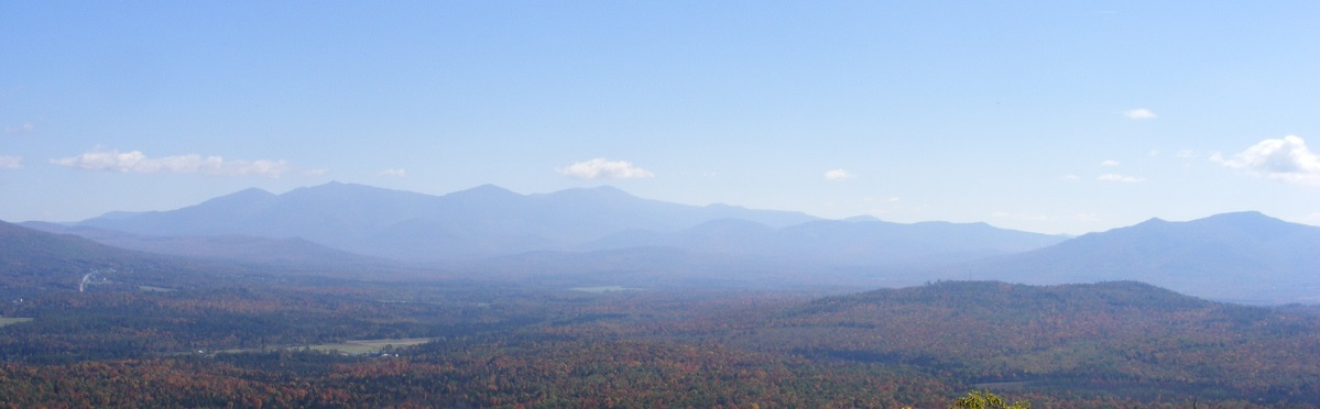
View of the Presidentials (center) and Cherry Mountain (right) from Weeks State Park auto road, Lancaster NH. All photos by Ellen Kolb.
I had the good fortune to have business in Lancaster recently as fall was setting in across the North Country. I stopped for a walk up the Weeks State Park auto road, which is currently closed to auto traffic on weekdays. I wasn’t the only pedestrian enjoying the unseasonably warm day. The leaves are turning; my guess is that peak color in this part of Coos County is still a week away.
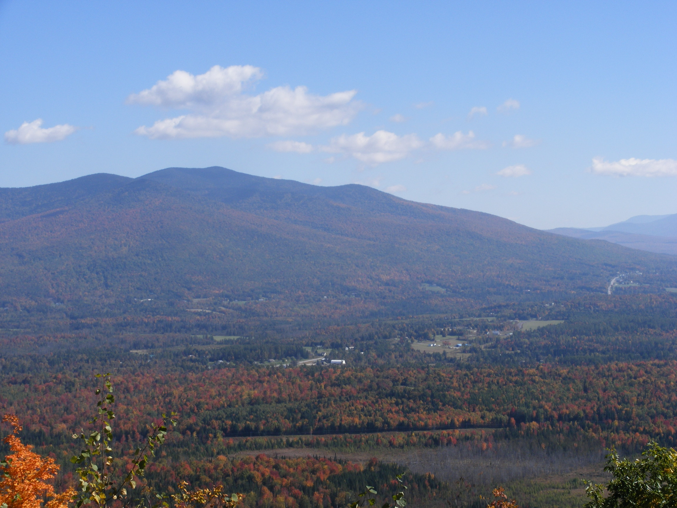
From Mt. Prospect: town of Jefferson and Mts. Starr King & Waumbek
The oaks lining the auto road are still in full leaf, with just a hint of color. Squirrels were busy gathering acorns and dropping more than a few onto the pavement (but I dodged ’em). The green canopy was out of sync with all the colorful foliage visible from the auto road’s pullouts.
Since my last visit to Weeks, a small unpaved parking lot’s been added just outside the gate to the auto road. That’s an improvement over having to walk across two lanes of 50 m.p,h. highway to get to the park from the pretty little lot on the other side of U.S. 3.
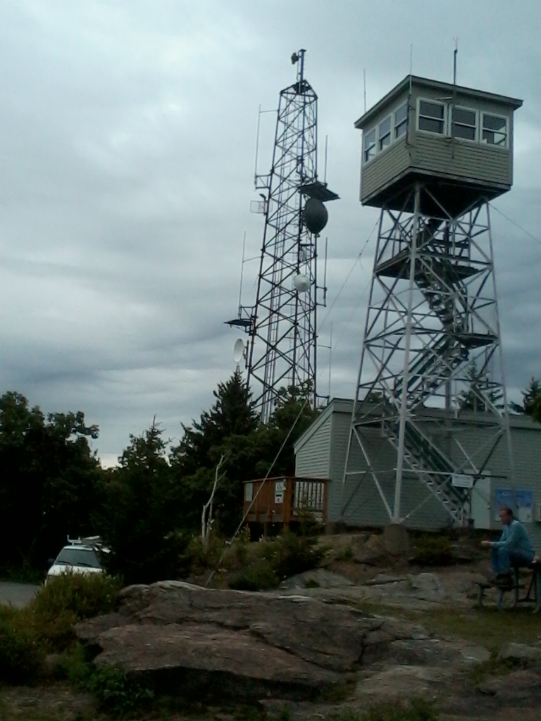
The fire tower was locked, unfortunately. Perhaps summer weekends are the only time to get a look at the inside of this unique structure.Loveliest fire tower to be found anywhere, in my opinion. Weeks State Park, Lancaster NH. Green and shady on the auto road, but that’s sure to change within a week.No attendants at the park on a fall weekday – but there’s an iron ranger to accept donations. Part of the easterly view from the auto road: Pliny Range, from Mt. Cabot (L) to Mt. Starr King (R-foreground).
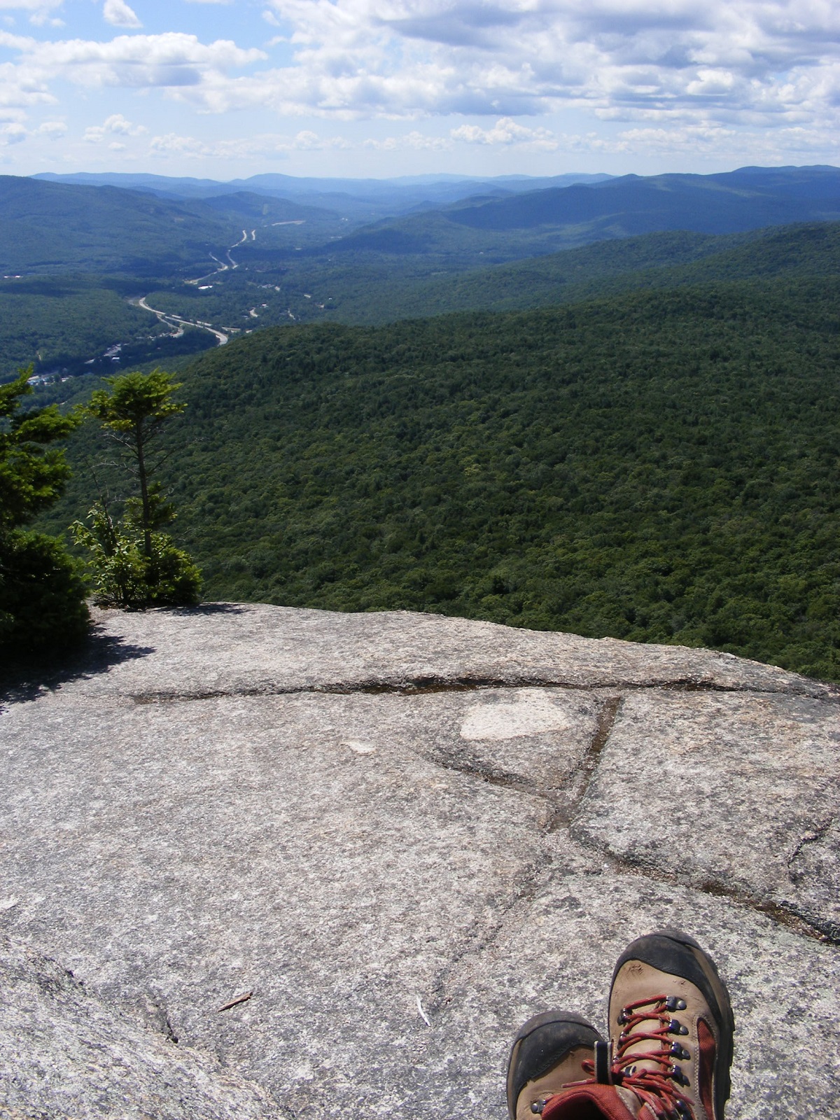
The view from Pack Monadnock’s summit was a treat even on this cloudy day. I hiked up via the Raymond Trail for the first time. The score is Ledge 1, Hiker 0 after a slight slip on the way down, and I keep a first aid kit in my pack for such occasions. The hike was otherwise uneventful. There are rocky stretches, but the Raymond Trail is not as ledgy as the Wapack Trail up the mountain. Unlike the Wapack and Marion Davis trails, Raymond Trail doesn’t start from the Miller State Park parking lot. It goes up the west side of the mountain from a trailhead on East Mountain Road that has parking for three cars (maybe four in a pinch).
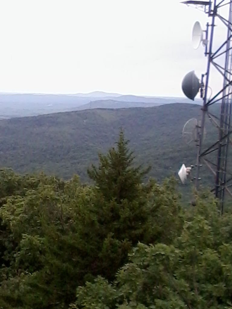
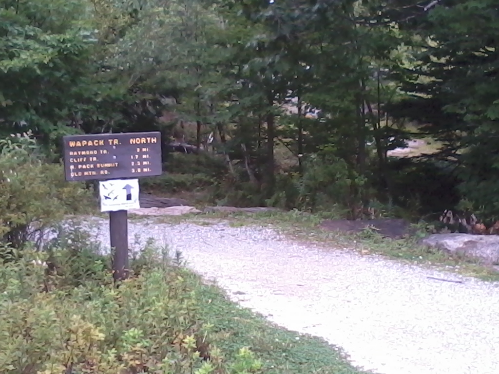
The Wapack Range stretches to the south, with the ridge of Temple Mountain in foreground.View to North Pack Monadnock.An auto road reaches the tower site at Miller State Park (Pack Monadnock).View to Mount Monadnock.The white addition to the trail sign is an invitation to come to the Pack Monadnock summit for September’s raptor watch.
Coming from Manchester via NH 101: drive west through Milford, Wilton, and Temple. Take a right at Mountain Road, about 0.2 mile past the Miller State Park entrance. Mountain Road becomes East Mountain Road. The trailhead is on the right, about a mile off of 101.
I was early for the New Hampshire Fisher Cats game a few days ago (that’s baseball, for all you out-of-towners). It’s been too long since my last stroll over the Hands Across the Merrimack bridge, part of the rail trail that begins behind the baseball stadium and extends a couple of miles west along the Piscataquog river, clear over to West Side Arena.
The Hands Across the Merrimack bridge over the Merrimack River, seen from the trail behind Northeast Delta Dental Stadium.
The odd bit of graffiti aside, the bridge is in good shape structurally and aesthetically. And for crossing the Merrimack river, it sure beats dodging the auto traffic on the nearby Granite Street bridge.
Manchester, New Hampshire
View from the west end.
It’s good to see this acknowledgment of one of the people who made the Hands Across the Merrimack bridge project happen.
I had planned a one-day “grand tour,” with a stop at Pawtuckaway for the fire tower then Odiorne Point for the beach and then Stratham Park for the observation tower. (Whew.) Eight hours, with three of them in the car. I’m glad I reconsidered. Odiorne Point was all I needed.
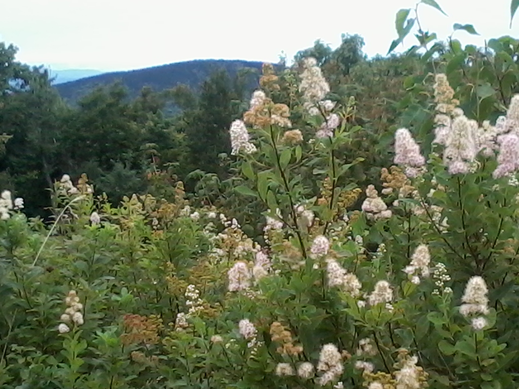
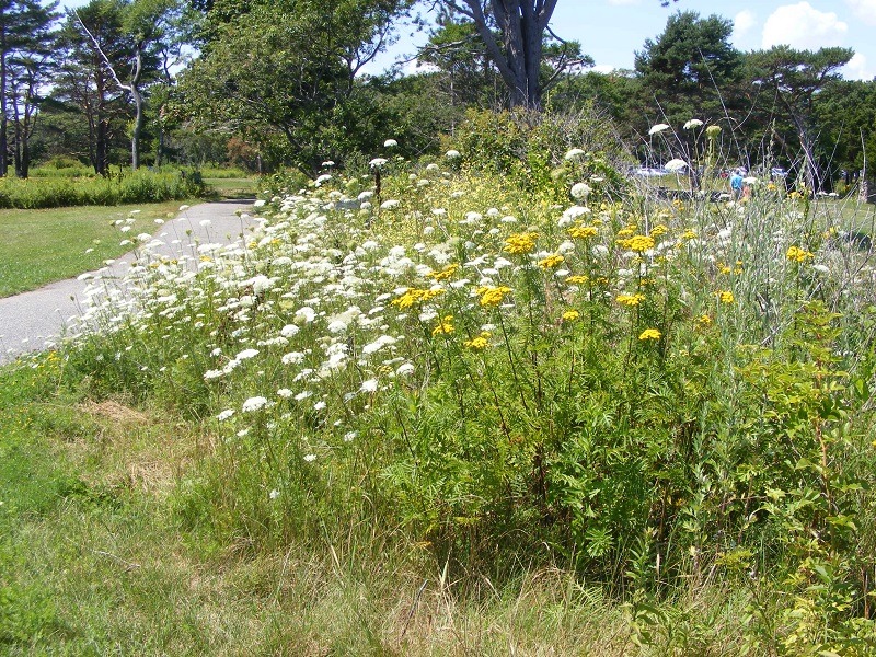
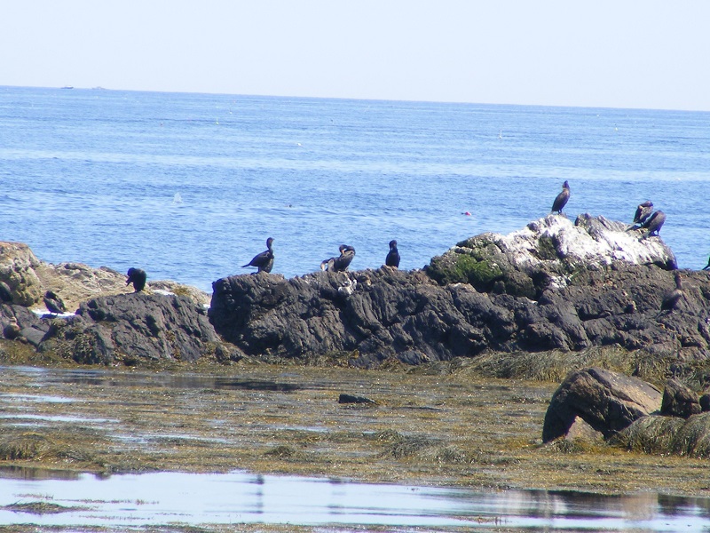
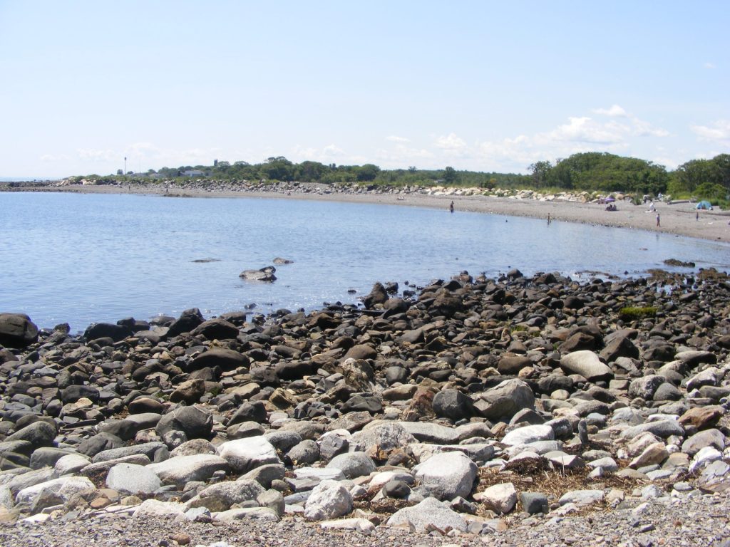
From the shore, visitors can see traffic going in and out of Portsmouth harbor.Summer means Queen Anne’s Lace is blooming.walkway to the beachCormorants and other water birds make themselves at home on the rocky shore.Kayakers can launch from a parking area north of the park’s main entrance on NH Route 1-A.Jetty at Odiorne Point State Park, Rye NH. All photos by Ellen Kolb.This structure in the park was once part of the USA’s coastal defense during WW2.
I headed south of the border into Massachusetts on the Nashua River Rail Trail for a walk through the Groton stretch. Of the four towns along the trail, Groton is where the history of the rail line is most evident. The town is also home to the most park-like section of the trail, situated within the J. Harry Rich State Forest.
The harsh shadows in the photos are from the full midday sun, cheerfully blazing away on a summer day.
The trail crosses over Rt. 119 in Groton on a nicely rehabbed bridge. All photos by Ellen Kolb.
There are three trailheads in Groton, with the most parking available off of Broadmeadow Street. Smaller unpaved lots are at Sand Hill Road and Common Street.
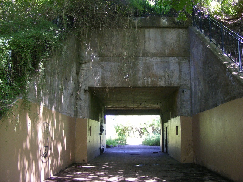
Local students painted the walls of the trail’s underpass at Rt. 225 with scenes of area history.
There are no portajohns along the way. Near the trailhead at Broadmeadow Road are a couple of benches and an informational kiosk. The posted information and illustrations are worth a look.
The best-maintained and most informative kiosk along the NRRT.
Groton must have strict zoning laws that keep commercial signs tiny. How am I supposed to find the nearest place to buy a large iced beverage? That kiosk near Broadmeadow has a bonus: a map of Main Street and the roads connecting it to the trail, with nearby businesses listed. That large iced beverage is only a short walk away.
Marker on Main Street in Groton, a short distance from the trail.
Some of the old rail line’s granite mile markers are still in place, and they’re kept painted by area volunteers. “P” is for Portland, Maine, and “W” is for Worcester, Massachusetts – once upon a time, the two ends of a line of the Boston and Maine Railroad. Of the 120 or so miles of that old line, twelve miles now make up the Nashua River Rail Trail.
“P” is for Portland, Maine, 114 miles from Groton by way of the old Boston & Maine rail line.
Crowning the day was an abundance of Queen Anne’s Lace all along the trail.
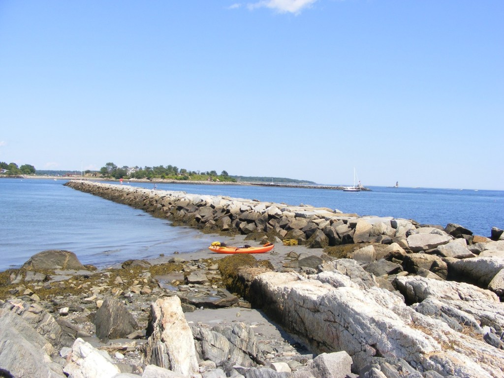
This is what a perfect summer day in New Hampshire looks like. I joined two friends for a drive north to Franconia Notch and a hike up forested Mt. Pemigewasset to its summit ledges, where there was nothing to do but enjoy the view. The Franconia Ridge and stern Mt. Lafayette are more than I can handle. Mt. Pemigewasset, while still a challenge for me, was manageable. A wonderful daytrip!
To get to the trailhead, take I-93/US 3 to Franconia Notch and watch for signs for The Flume visitor center. Park there; trails begin on the north side of the lot.
Looking south from the Indian Head ledge on Mt. Pemigewasset: I-93 snakes away from the Notch. Ellen Kolb photo.