East Inlet, Pittsburg NH. Photo by Ellen Kolb.
Some years back, the decline of New Hampshire’s North Country paper industry left up in the air the future use of over 100,000 acres in Coos County. Conservationists got busy in an effort to protect the land for recreation and forest management. A serious team effort resulted in the Connecticut Lakes Headwaters Working Forest in 2003. Time to celebrate the first decade!
Head to Lake Francis State Park in Pittsburg (get on U.S. 3 and just keep heading north) on October 5th for the big event. The Department of Resources and Economic Development – and has there ever been a worse acronym than DRED? – is hosting lunch and a few speakers at 11:30 a.m. At 1:30, the real fun begins. Attendees can choose from six tours, each in a different part of the CLHWF, lasting until 4:30. For more information, or to RSVP, email Eric Feldbaum at eric.feldbaum@dred.state.nh.us. With your RSVP, be sure to specify your choice of tours.
Want to hear about the Cohos Trail, and walk on a short segment? Yes, I know I write about the CT a lot. You can find out why if you join Lainie Castine after lunch on the 5th.
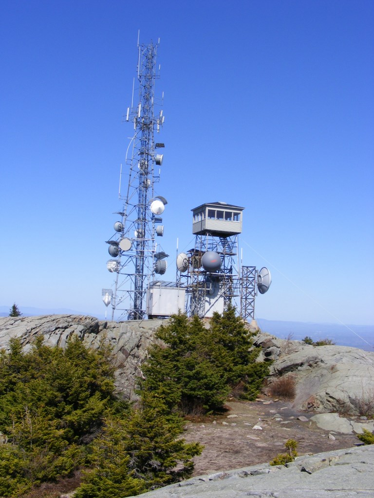
Maybe you like fire towers instead. If so, head to Mount Magalloway. Forty-five vigorous minutes on the trail will reward you with views that will knock your socks off.
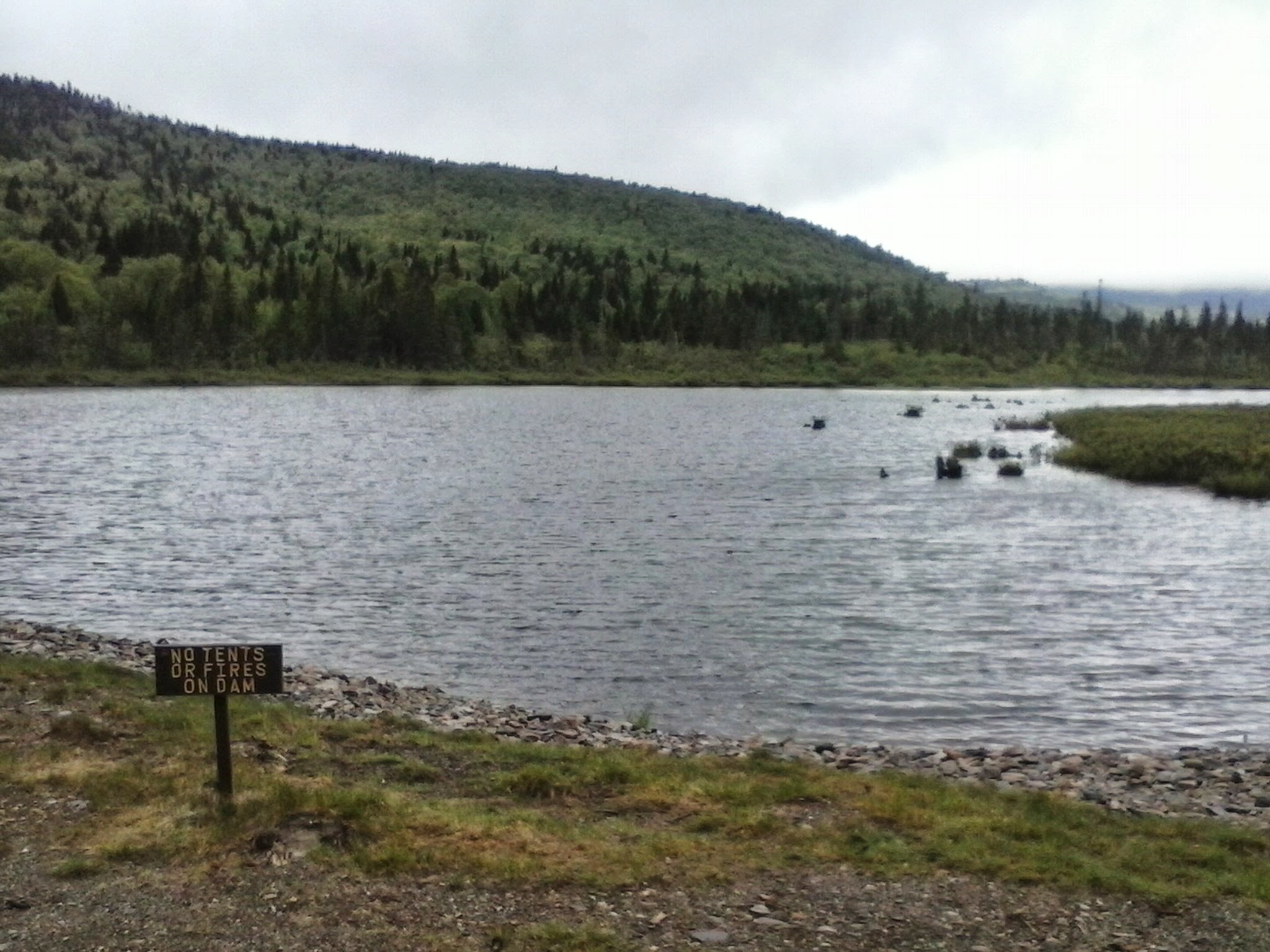
Have you ever been to Boundary Pond? Here’s your chance to see it, if you’re ready for a drive; the boundary in question is with Canada. Other afternoon options include kayaking, a timber harvest forestry tour, and a local-history lesson. I wish I could head north for the event, although I’d have a hard time choosing just one afternoon activity. I encourage you to make the trip, if you are anywhere near northern New Hampshire. Again, let me mention that address for RSVPs, so the organizers know how many people to expect: eric.feldbaum@dred.state.nh.us
Yes, I love the Connecticut Lakes. My photography doesn’t do the place justice. I hope you can take your own photos there someday.
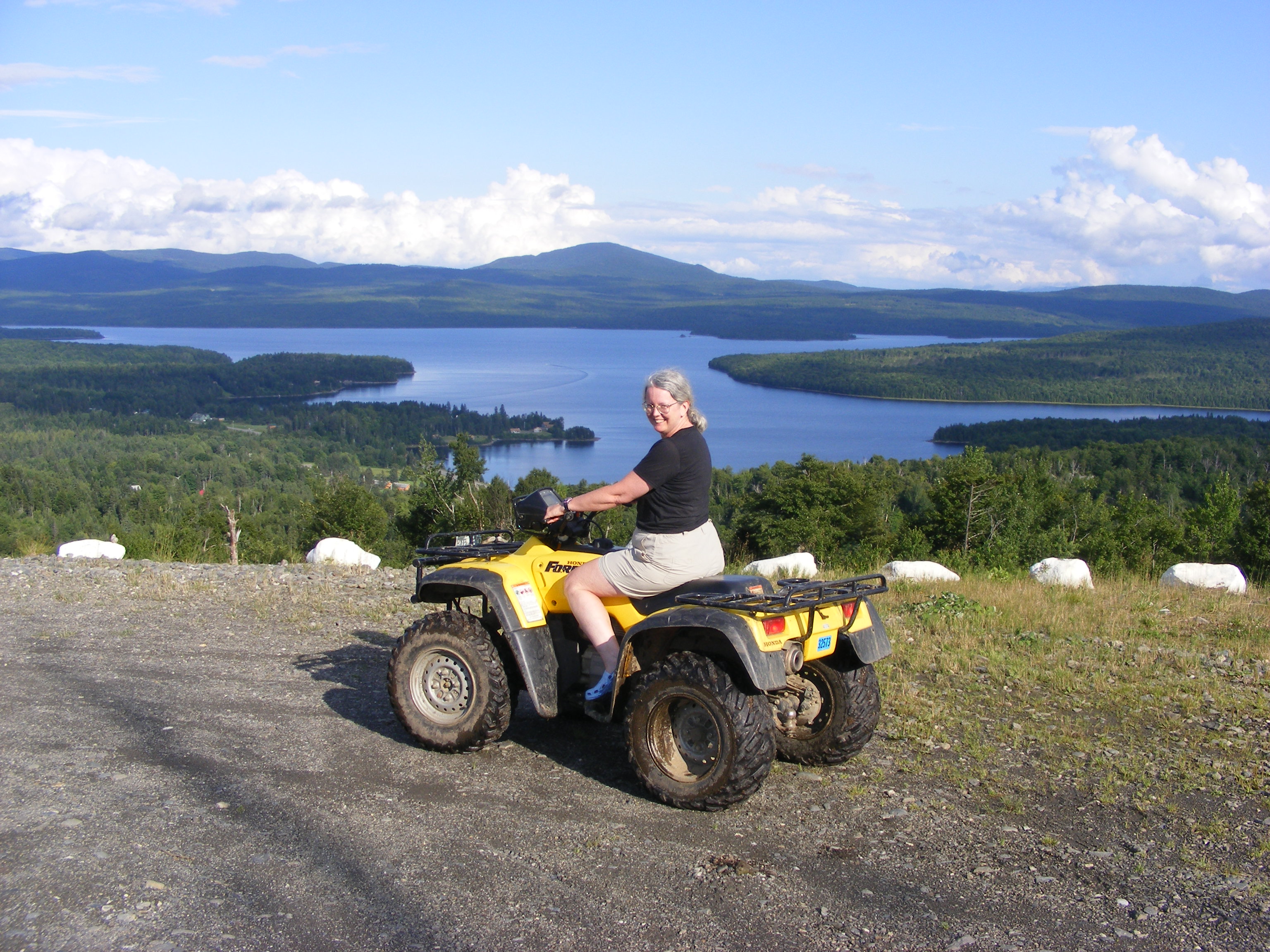
First Connecticut Lake and Mount Magalloway, from Prospect Mountain. Photo by Lainie Castine.

River Road covered bridge, on the way to Lake Francis SP. Ellen Kolb photo.

Sunset, Cedar Stream Road. Ellen Kolb photo.