Cool and Shady: Falls in the River, Cohos Trail

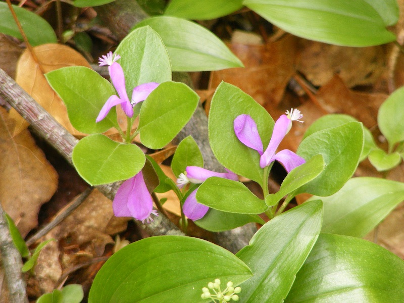
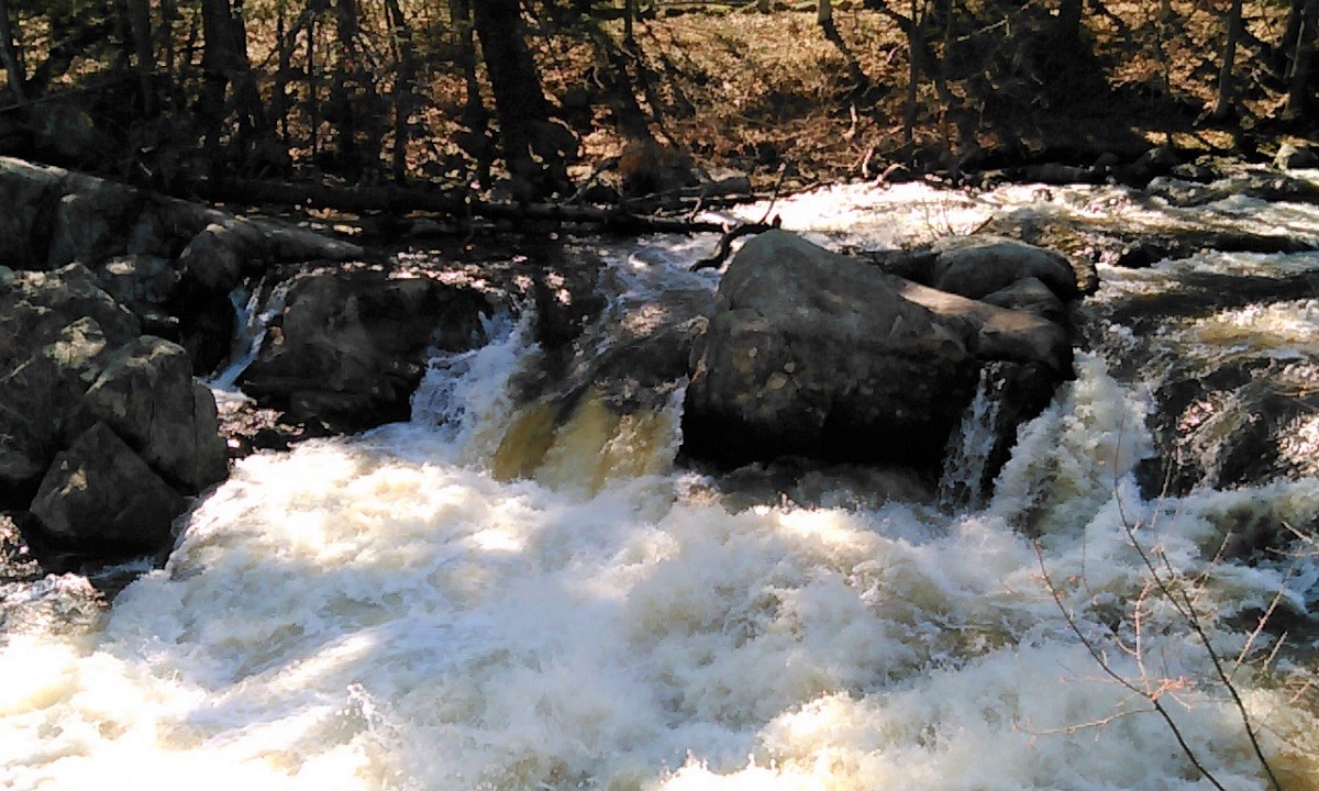
Another trip to northern New Hampshire for me meant another walk to one of my favorite spots on the Cohos Trail, the Falls in the River. No trip to Pittsburg on a 90-degree day would be complete without it. From the parking area by the Second Connecticut Lake Dam, a half-hour southbound walk through the woods on the blazed Cohos Trail brought me to the Falls. Soon I was refreshed in every way.

A few years ago, my husband and I were among the volunteers who put the finishing touches on this segment of the CT before it was officially dedicated. Others had done the hard work. It has since become one of the CT’s most popular dayhike areas.

Rushing water over boulders in a riverbed, with shrubs growing on the shore
Falls in the River, Pittsburg NH, June. Photos by Ellen Kolb.
small wildflowers growing from a crack in a boulder
Cracks in the granite give tiny blossoms a home.
Lake surrounded by evergreen forest
A peek at Second Connecticut Lake from the parking lot by the dam. 

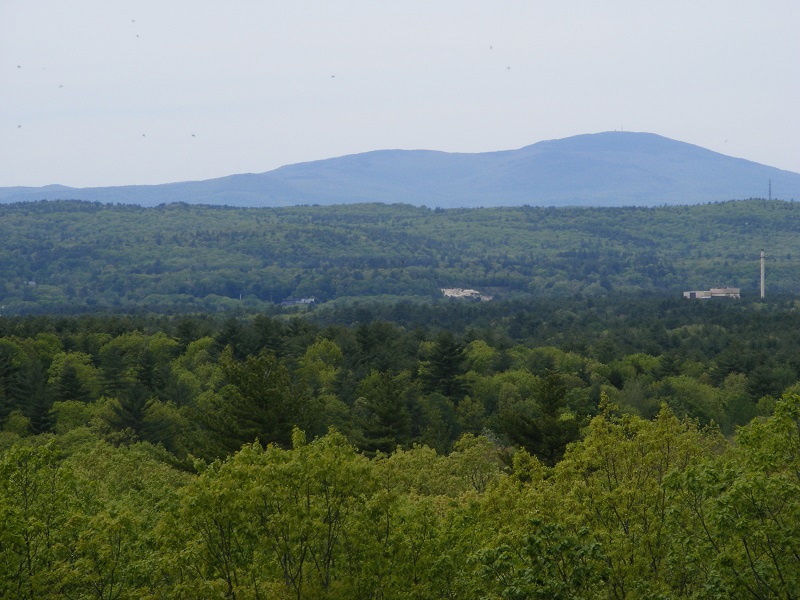
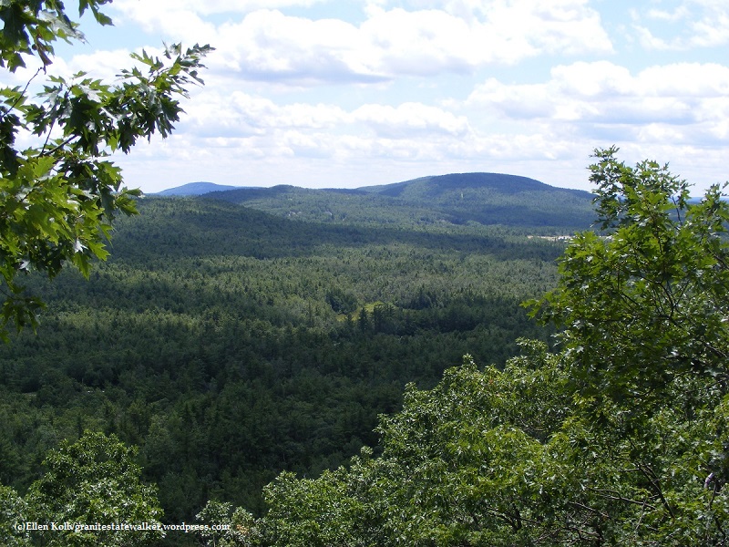
The trail in this area manages to feel remote even when it’s squeezed between U.S. 3 and the Connecticut River. Trees conceal the highway and muffle the sound of vehicles.

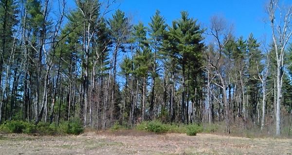
I saw no moose. I figured the hot weather would keep them from being out on the roadside at midday, but I thought for sure I’d see one in the woods. I saw only their prints in the mud.

Learn more about the Cohos Trail at cohostrail.org and the Friends of the Cohos Trail Facebook group. Links updated, 2026.


Back to Oak Hill trails, Concord NH

Over the years I’ve maintained this blog, there’s one unassuming little post that keeps getting hits every single month: my walk to the Oak Hill fire tower where Concord meets Loudon. Is it the “fire tower” phrase that keeps the search engines happy, or does New Hampshire’s capital city have a lot of enthusiastic local walkers?

Either way, the Oak Hill trails deserve the attention. They’re pleasant, easy, varied, and only a few minutes away from downtown Concord. I headed there after some work at the State House recently, knowing that I could only spare a half hour or so.

fringed polygala flowers
The only blossoms in sight on a spring day were on the ground cover at the edge of the trail. Shown here: fringed polygala. Photos by Ellen Kolb.
trail signs in a forest
Junctions are well-marked, but this little “new vista” sign helped keep me on the right path.

I followed the signs to “vista,” only about a 12-minute walk from the parking area, and was treated to a good view of Mt. Kearsarge. That was ample reward for my quick visit.

forested lowlands with hazy view of distant mountain
Mt. Kearsarge to the west. Trees conceal the Merrimack River, flowing south past the industrial building at right.

Close to Home: Wildcat Conservation Area, Merrimack NH

Wildcat Falls Apr 2017
Wildcat Falls on the Souhegan River

The Souhegan River runs through my New Hampshire town and through the Wildcat Conservation Area. WCA’s most striking feature is Wildcat Falls, and it’s the reason there’s a canoe take-out upstream where the river crosses Turkey Hill Road. Way too much granite and way too many fallen trees make the falls a spot that’s pretty to look at but lousy to navigate. The falls don’t come from a single height, but rather from irregularly terraced granite shelves and boulders left in the river when the last glaciers retreated.

There are a couple of miles of trails winding through the conservation area and the adjoining state property. All I was interested in today was a direct path to the falls. The walk to the falls from the Currier Road parking lot goes through a sandy, pine-y area that reminds me of where I grew up in flat southern Florida, where rivers looked like canals and where waterfalls were pure fiction.

Update, 2025: Parking for WCA is now available in Watson Park on US 3 in the center of Merrimack. A trail about a half-mile long follows the Souhegan River upstream from Watson Park, eventually crossing under the Everett Turnpike and emerging in WCA. If the parking area off Currier Road is full, park at Watson, not on the residential streets near WCA.

woods at Wildcat Falls
From the parking lot for Wildcat Conservation Area in Merrimack NH, it’s a short walk through sandy woods to get to the Souhegan River and Wildcat Falls.

First day hike 2017: Wellington State Park, Bristol NH

New Hampshire enjoyed benign weather on New Year’s Day, perfect for a First Day Hike. I headed to Bristol, home of Wellington State Park and the Elwell Trail. No snowshoes needed; the trail was well-packed. Gravity got the best of me a few times despite the YakTrax on my boots, but I fell gently thanks to the snow cover. About sixteen of us were led up the trail by a guide from the Newfound Lake Region Association.

NewfoundLake, NH
Newfound Lake in Bristol, NH, seen from Little Sugarloaf. Ellen Kolb photos.

Our destination was Little Sugarloaf, a modest peak about a mile and a half from the Wellington parking lot. There were plenty of hikers on the hiking trails and snowmobilers on the snowmobile trails, with cooperation and good cheer all around.

The payoff view: Newfound Lake on a clear and sunny day, with ideal sights and sounds. We watched a pair of bald eagles fly around the islands below us. The snowy peaks of Franconia Notch about 40 miles away were visible. I knew there were snowmobiles all over the lower trails, but I could barely hear them from Little Sugarloaf’s summit.

A few of my more ambitious companions decided to hike on to Sugarloaf, a few hundred feet higher. I might check that out some autumn day.

Find maps of the area at newfoundlake.org.


The Wapack Trail, NH/MA: a series of dayhikes

From Ashburnham, Massachusetts to Greenfield, New Hampshire, the Wapack range extends over a series of peaks that can be seen clearly from the eastern slopes of Mount Monadnock. The 21-mile Wapack Trail spans the range, with segments that make great dayhikes.

wapack-range-seen-from-monadnock

My copy of the the Wapack Trail guide is well-thumbed, and the map that comes with it has held up pretty well for me through the years. Map and guidebook, along with recent trail notes, are available at the Friends of the Wapack web site.

Pack Monadnock is the most popular part of the trail, with Miller State Park and the summit’s fire tower apt to draw crowds. North Pack is close enough to add for an out-and-back hike.

I like the Temple Mountain ridge in July, when I can make a lunch out of blueberries. Watatic, at the southern end of the trail, has a wonderful open summit. The variety of birds in the Binney Pond area make the mosquitoes worth tolerating.

Endurance racers have been known to run the entire trail in a day. I take the Wapack in segments, at a gentle pace. Either way, the Wapack Range is memorable.

North Pack Monadnock – Pack Monadnock

Temple Mountain – Barrett Mountain (Windblown Cross-Country Ski Area)

Southern section of the trail


Guided hike in Heald Tract, Wilton NH

I joined 17 people and one tiny-but-mighty dog for a leisurely three-mile amble through a portion of the Forest Society’s Heald Tract in Wilton, New Hampshire.

Castor Pond, where we enjoyed lunch on our hike. It’s home to heron and other water birds, as well as beaver and otter.

Our guide was David, a volunteer for the Harris Center for Conservation Education. Two of my fellow hikers owned property near the tract and knew a lot about the history of the area. We had good company and good conversation for the three hours we spent together.


We walked through an area with old wells and foundations, and heard tales of the people who had built them and settled the area. We saw the most imposing beaver dam I’ve ever laid eyes on. I heard kingfisher as we sat pondside enjoying our lunch. No one was in a hurry, the company was congenial, and the weather was fine. I left determined to keep an eye on the Forest Society and Harris Center calendars in the future for other walks like this one.

stone foundation wall
This barn foundation dating back to the nineteenth century is about six feet high. The rest of the structure was lost to fire long ago.

For more about the Heald Tract including a map of the trails, go to forestsociety.org. Learn more about the Harris Center at harriscenter.org.

group hike in a forest with a little dog
This little terrier is an unlikely-looking hiker, but she proved to be an intrepid and friendly companion.
stone-lined well
The opening to this old well is about five and a half feet across – easily the largest I’ve seen.