Take Notes

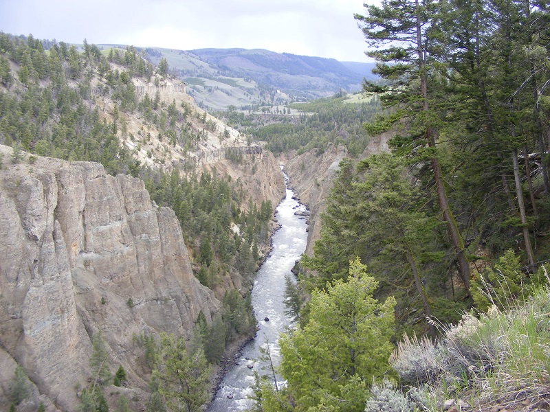
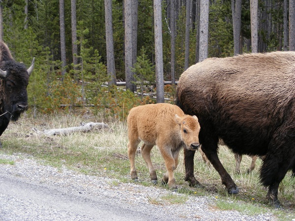
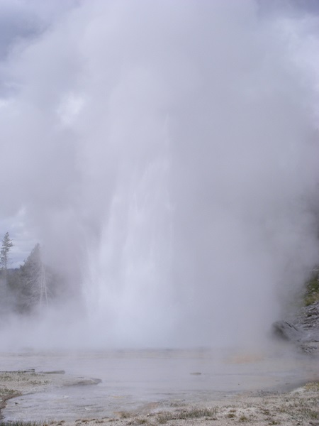
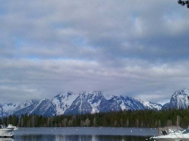
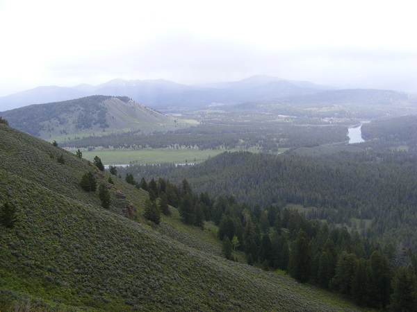
When my husband and I went to Yellowstone and Grand Teton National Parks last year, I scribbled some notes at the end of each day. Too sketchy to amount to a journal, they nevertheless recorded some important details. Once we got home, I typed up the notes and emailed a copy of the resulting document to myself for safekeeping.

It was so safe that I forgot I had it, until this evening. I’m laid up at the moment with a cold or flu or whatever the microbe du jour might be, and to pass the time I’m clearing out things from my email inbox that I never properly archived. Lo and behold, there were my Yellowstone notes.

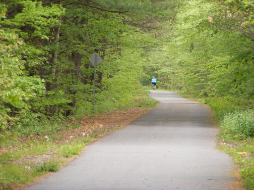
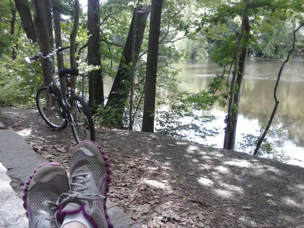
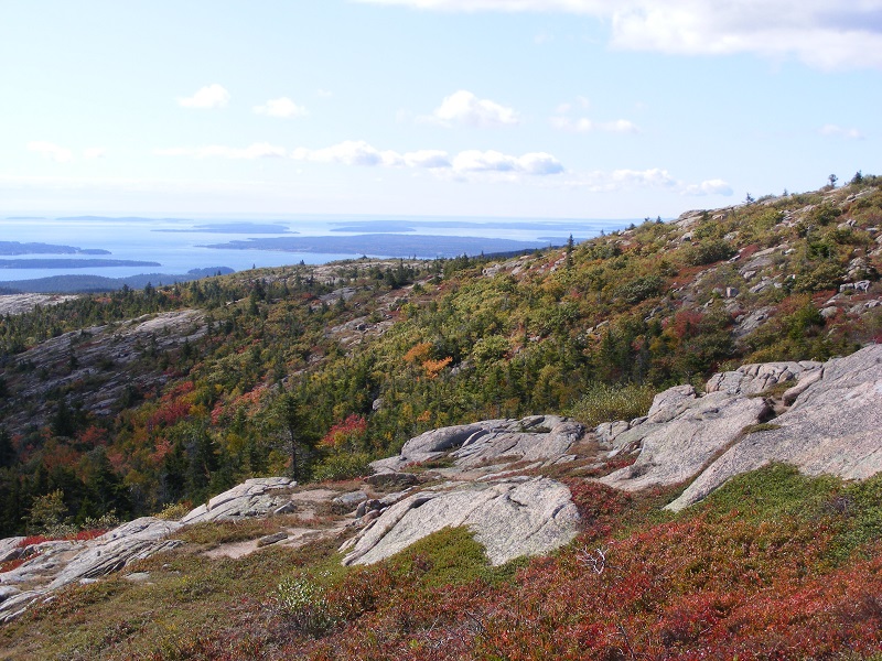
Reading them took me right back to the Old Faithful Inn and the Teton bike trail.

I neatened up the notes, imposing complete sentences on my fragmentary observations. Then I printed out the resulting text and tucked it in our photo album of the trip. Yes, an actual hold-it-in-your-hand photo album. Now, when we or our kids look at the pictures, we’ll have more context than simply “ooh! what a pretty meadow!”

Do yourself a favor and take notes on your next trip, especially if it’s to a place you’ll likely not visit again. No need for elegant writing; my own sketchy notes were hardly poetic. I wasn’t writing for publication. I wrote to capture impressions that I was afraid I’d lose once the vacation was over.

I should have printed out my notes right after the trip instead of relegating them to email limbo for more than a year. They’ve come back to life now.

Take notes. You won’t be sorry.

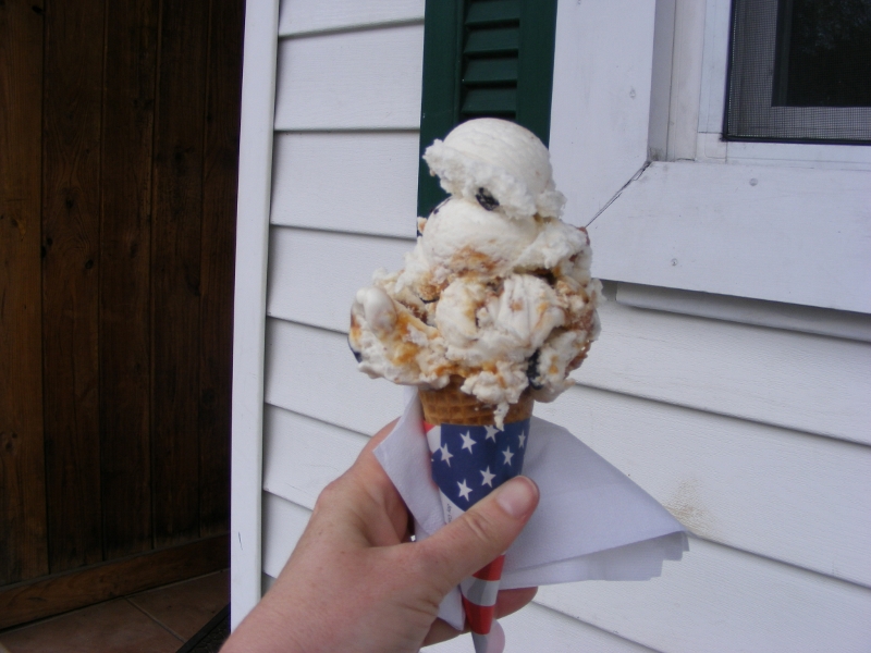
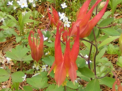
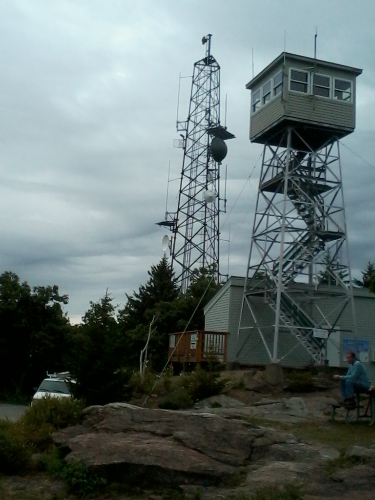
(I managed to wring a blog post out of the Yellowstone trip shortly after coming home. It’s mostly photos. I hope you enjoy it!) 

A Pawtuckaway marker

Making my way over North Mountain in New Hampshire’s Pawtuckaway State Park one day, I came across this, embedded in the granite.

pawtuckaway-marker-north-mtn

I had never come across one of these survey marks before, but have since learned that they’re pretty common. The National Geodetic Survey keeps an extensive database listing them.

I looked up the NGS data sheet for this Pawtuckaway marker – or “patuccawa”, as it’s engraved on the disk – and saw that there’s been some kind of marker at this location since at least 1851. The data sheet includes references to various landmarks visible from the marker’s location, but I think those references go back a few years. North Mountain is pretty thoroughly forested now. The fire tower on Pawtuckaway’s South Mountain is the place to go for long-range vistas.

The marker has a stern warning about a fine or imprisonment for “disturbing” it. It would take one seriously motivated vandal to disturb that thing, which seems to have been installed to last.

I could make a list from the NGS database of markers nearby, but I won’t bother. I have enough lists of places to see. I’ll let the markers surprise me.

Nashua River Rail Trail gallery

Look back over this blog’s decade of posts and one place gets mentioned in all seasons: the Nashua River Rail Trail. It extends twelve miles between Nashua, New Hampshire and Ayer, Massachusetts.

I love the seasonal changes on the trail. I like the sound of the skydiving plane overhead and the sight of the colorful chutes as the skydivers make their jumps. I like seeing what’s being planted at the farm in Dunstable. I am enchanted anew each time I see the soda machine that a trail-abutting family has set up. I like the ice cream stand in East Pepperell.

There are no bad seasons here.


National Park Service celebrates 100th anniversary

I’m told that today is the 100th anniversary of the National Park Service. Huzzah! I treasure my trips to the gems of the park system. This is my little thank-you note to the NPS team.

Maine coast from a hill with autumn color
Acadia National Park, Maine. All photos by Ellen Kolb.

I love Acadia National Park in Maine, and I love it even more in the off-season. Best trip there I ever had was on a blustery, showery October weekend when I had the carriage trails practically to myself.

wide unpaved trail lined with large stones
Acadia’s carriage trails get heavy use in the summertime, but October finds them quiet and inviting.

When I visited Yellowstone National Park, bison greeted me as soon as I crossed into the park on Route 20. My one trip was during a week before Memorial Day – a shoulder season, post-winter and pre-summer, with no traffic jams. A week is too short a visit; there’s so much to see, and choices must be made. I felt the same way after seeing Yosemite.

Gorge cut by the Yellowstone River
Geysers are all well and good, but be sure to get away from Old Faithful to find the Yellowstone River.
bison calf walking with adult bison
A springtime visit means seeing the bison calves – from a distance. I was safely in a car when taking this photo.
Grand Geyser erupting, Yellowstone National Park
Grand Geyser is more impressive than Old Faithful and draws smaller crowds. I loved it.

It wouldn’t have occurred to me to visit Grand Teton National Park in Wyoming if I hadn’t gone to Yellowstone. On a map, Grand Teton looks like an afterthought compared to its imposing neighbor to the north. It’s a marvel in its own right.

bay and marina with Teton Mountains in the distance
The Teton range from across Colter Bay Village. The summits were in cloud throughout my trip.
forested hills in Wyoming
Another side of Grand Teton NP: looking east from Signal Mountain.


Pack Monadnock via Raymond Trail: Miller State Park, NH

The view from Pack Monadnock’s summit was a treat even on this cloudy day. I hiked up via the Raymond Trail for the first time. The score is Ledge 1, Hiker 0 after a slight slip on the way down, and I keep a first aid kit in my pack for such occasions. The hike was otherwise uneventful. There are rocky stretches, but the Raymond Trail is not as ledgy as the Wapack Trail up the mountain. Unlike the Wapack and Marion Davis trails, Raymond Trail doesn’t start from the Miller State Park parking lot. It goes up the west side of the mountain from a trailhead on East Mountain Road that has parking for three cars (maybe four in a pinch).

Coming from Manchester via NH 101: drive west through Milford, Wilton, and Temple. Take a right at Mountain Road, about 0.2 mile past the Miller State Park entrance. Mountain Road becomes East Mountain Road. The trailhead is on the right, about a mile off of 101.

Hollis, NH: Buffalo, Tough Cookie & Beaver Brook

Dan Szczesny, readying his slide show
Buffalo and Tough Cookie cover
cover of B&TC’s book

I got to shake hands today with a pair of hikers I’ve been wanting to meet. Dan Szczesny and his hiking partner Janelle are better known in the blogosphere as Buffalo and Tough Cookie. They were at the Hollis, New Hampshire library today with a slide show about their book, The Adventures of Buffalo and Tough Cookierecounting their year-long quest of New Hampshire’s “52 with a View.”

And just what might 52-with-a-view mean? I had never heard of such a list before discovering Dan’s blog. The only New Hampshire hiking list I had heard of was the 48 4000-footers. 52-with-a-view is a creation of the Over The Hill Hikers of Sandwich, New Hampshire who compiled a list of fifty-two peaks under 4000′, each featuring good views.

The audience in Hollis today consisted of an energetic group of kids who knew more about basketball than hiking. Dan didn’t worry about getting through the whole slide show as planned, cheerfully adapting his presentation to the everyone’s questions and comments. If he and Tough Cookie come through your area for a book signing or slide show, make a point of stopping by. You’ll enjoy the conversation and the wonderful photography.

Following the slide show, I took a short drive to a trailhead on Rt. 130 for Beaver Brook and spent an hour in the woods. It was a day for YakTrax on my boots, with thin snow cover melted-and-refrozen in many spots. I saw one couple on cross-country skis having a rough time of it. The temperature in the upper thirties felt positively balmy after the bitterly-cold month just ended.

There’s logging going on in Beaver Brook this winter, although no equipment was in use today. I appreciated the quiet. There are orange arrows spray-painted into the snow as traffic-control marks for the trucks, and signs affixed to some trees with an explanation to passersby of how forest management – which includes careful logging – has been part of Beaver Brook Association ever since it was established.

Showing those loggers where to go