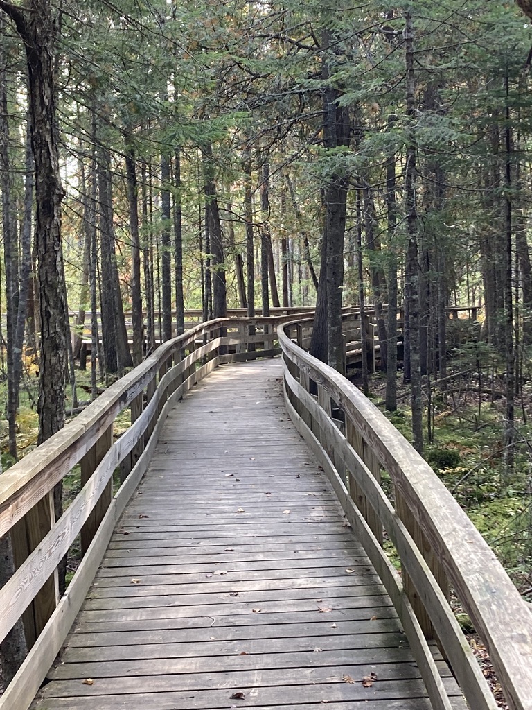
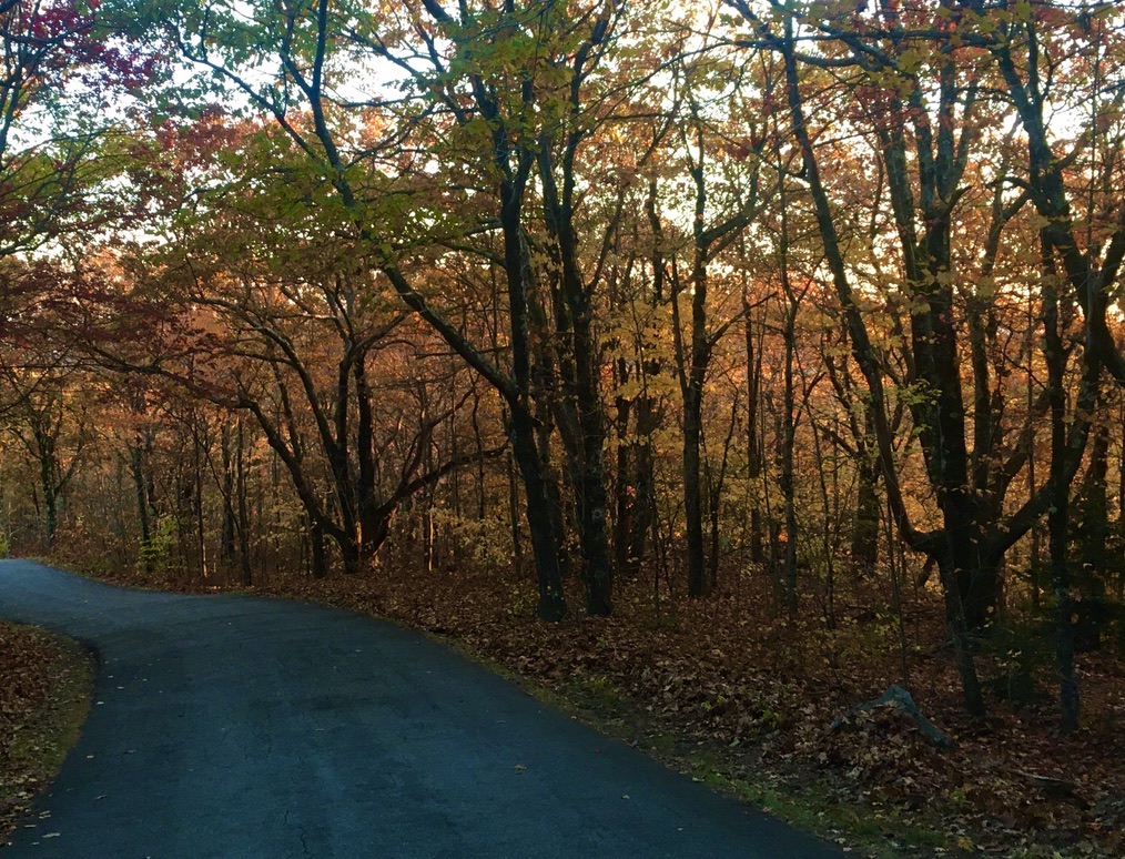
This been a magnificent autumn in New Hampshire, and I’ve tried to make the most of it. Even now, with the foliage faded and fallen, I love the season. There’s no better time for a walk on a New Hampshire trail, whether it’s a ten-minute respite from the day’s work or a full day on a long trail.
Two views of Mt. Kearsarge
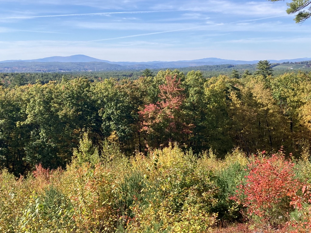
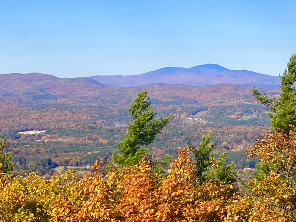
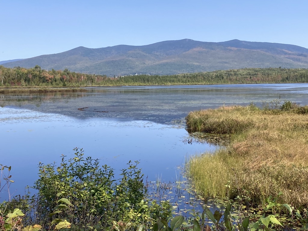
One afternoon in early October, I headed to Concord’s Oak Hill trails. I should’ve known what to expect: I-93 southbound was jammed with leafpeepers coming home from the North Country, where foliage at that time was at its most colorful. I figured Oak Hill, with colors just beginning to change in the Concord area, would be quiet. Nope: I had to squeeze my little car into about three-quarters of a space in the Shaker Road lot. I knew right away that the path to the fire tower would be busy, and I wanted some solitude. Fortunately, Oak Hill offers several miles of paths from which to choose. I went to an old favorite – a little ledge with a bench and a nice view toward the west featuring Mt. Kearsarge’s distinctive gentle profile.
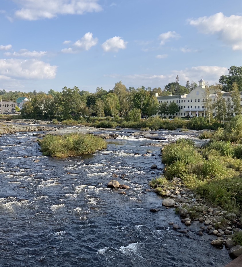
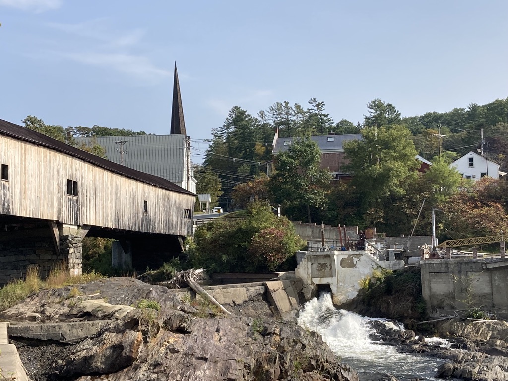
Three weeks later, autumn in south-central New Hampshire was in its glory. The Craney Hill fire tower in Henniker, which is decommissioned and usually closed to the public, was going to be open for a day or two. I learned about the opportunity only a day in advance, and I wasn’t about to miss it. Weather was perfect. The drive to Henniker along Route 114 was the stuff of picture postcards. From the cab of the tower itself, the region’s foliage stretched out for miles – and there to the north was Mt. Kearsarge again, layered in colors, topped with the evergreens that reach almost to the summit ledge.
I think the town of Henniker has custody of the Craney Hill tower, and the once-a-year public accessibility relies on volunteers and support from visitors.
A change of plan
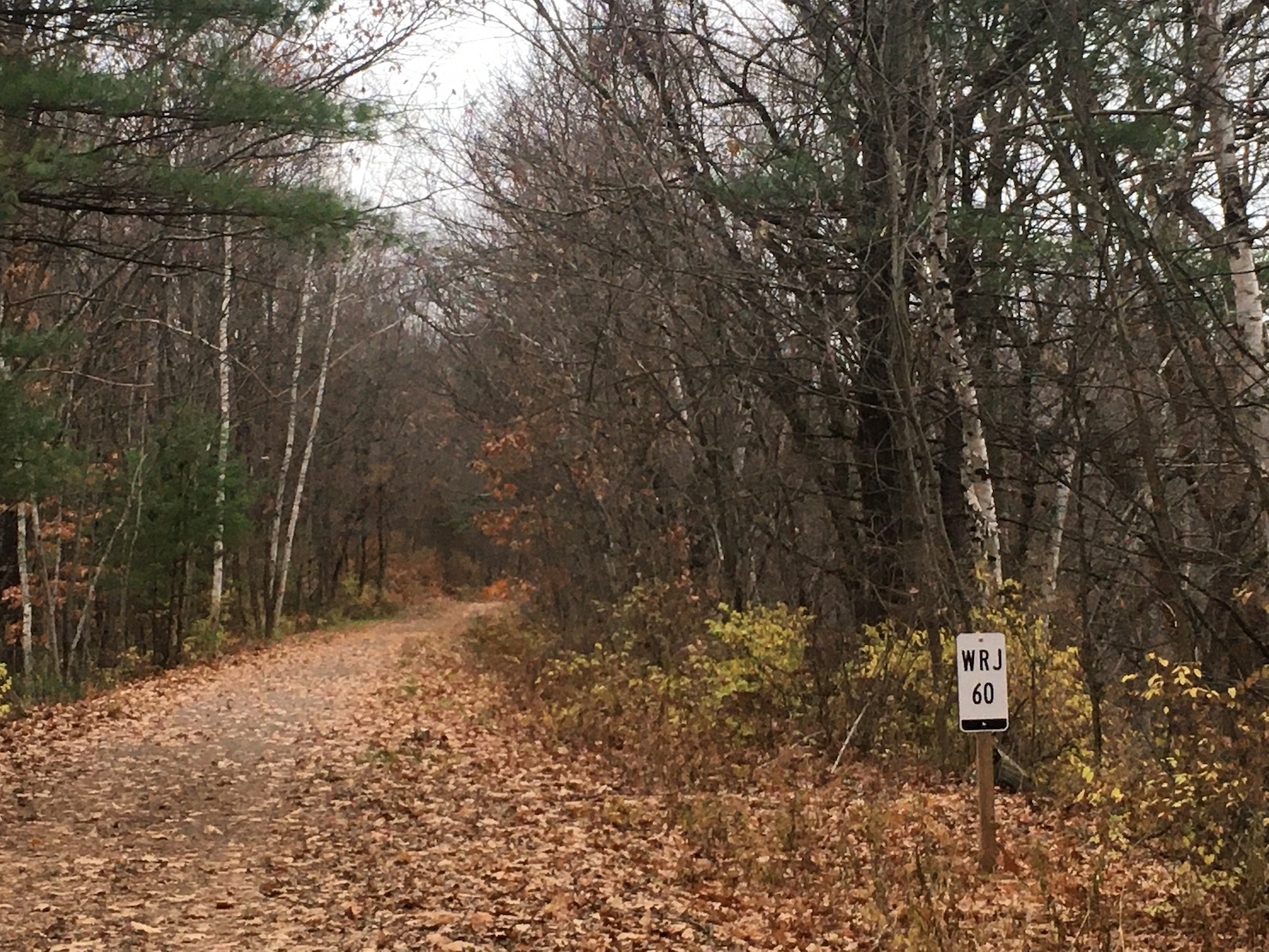
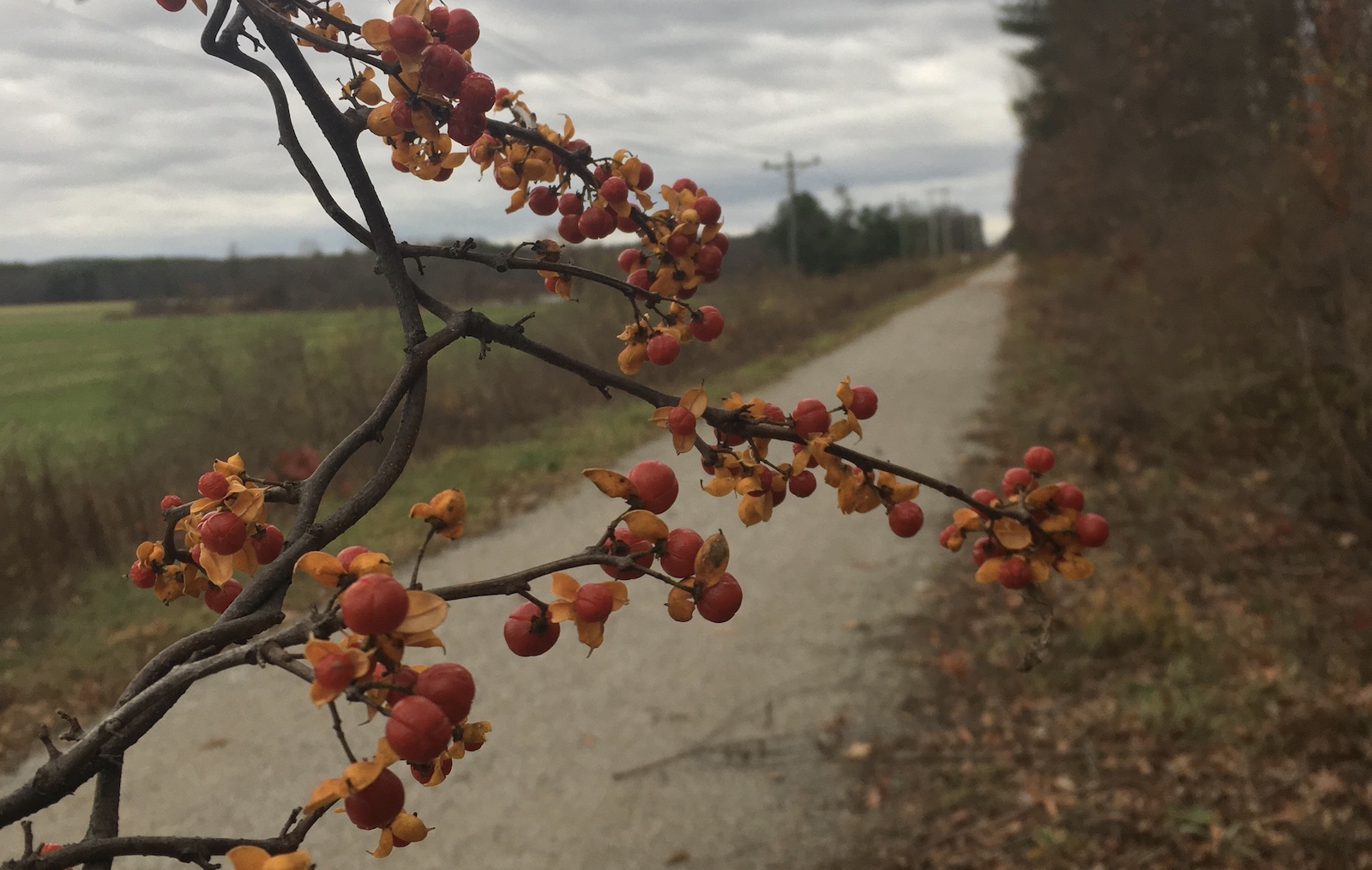
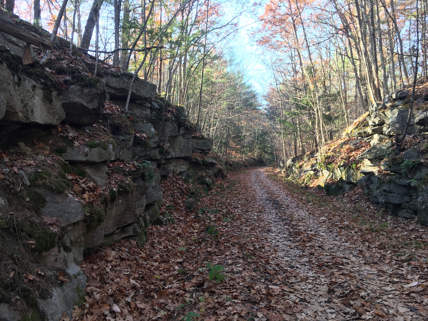
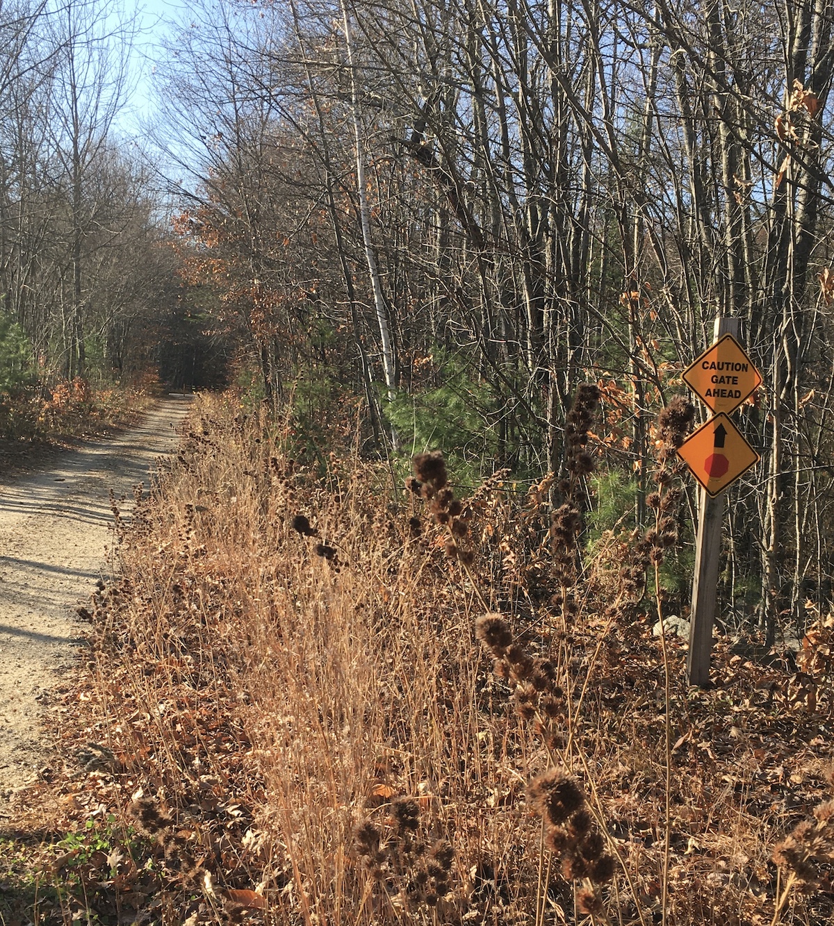
I had planned to join a group for a 13-mile fundraising walk on the Rockingham Recreational Trail, but unfortunately, the event had to be cancelled. I decided to walk the 13 miles anyway, on a modified route. Four hours-plus on that familiar trail in foliage season? Yes, please. Besides, I’d been sponsored by a generous donor to the shelter that was to have benefited from the fundraiser.
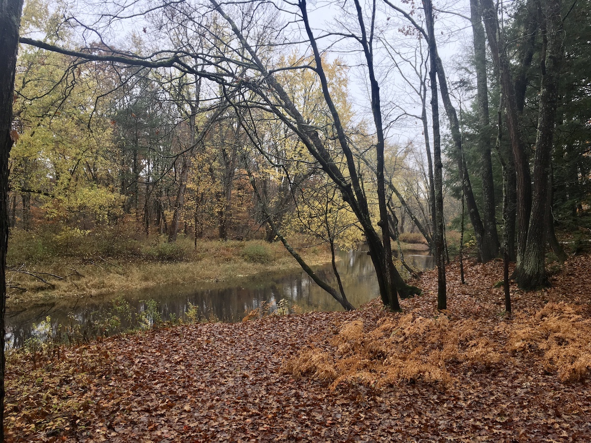
The trail goes by Onway Lake in Raymond. The woods surrounding the lake provided a fine payoff to a long morning’s work.

And here’s the track my GPS app made of my walk through Candia and Raymond, out and back.

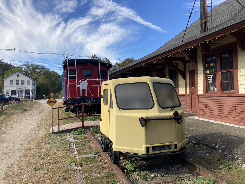
I managed to spend nearly five hours on the way because I dawdled at Raymond Depot, where I found an open house being held by the local historical society, and I also stopped at the one and only Dunks along the way for some caffeinated refreshment. Every minute of the day was a gift.
Postscript to summer
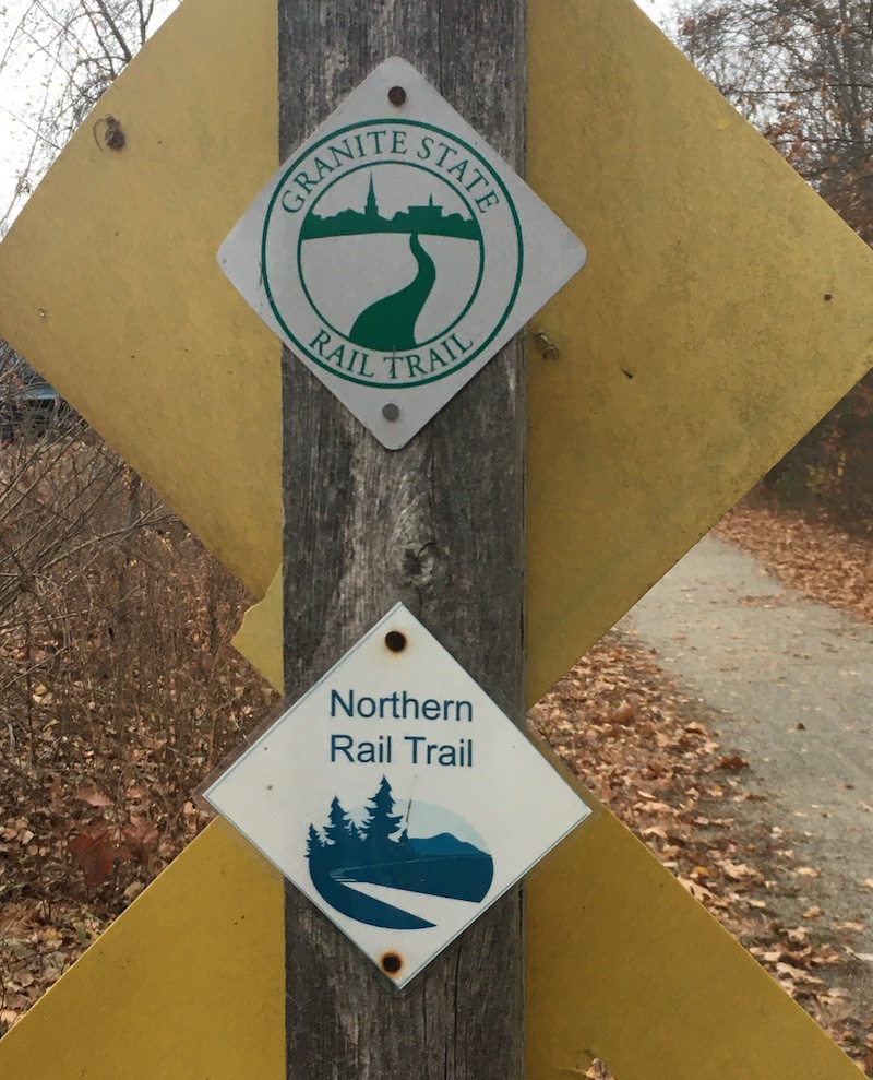
Here’s the long-awaited coda to my efforts in August and September to complete the Cross New Hampshire Adventure trail: I finally got the job done, in spite of the pesky osprey that tried to discourage me. Neither birds nor ballast nor lack of money for shuttles could keep me from exploring XNHAT from end to end. The trail attracts bicyclists from near and far, but I was happy to walk, even though it meant walking each segment out-and-back. (I’d gladly do the Pondicherry section out-and-back anytime.) For the finale in Shelburne and Bethel, my wonderful husband served as my shuttle driver. He patiently rode his bike while I paced off the last few miles.
I just might dedicate a long post to the whole darn trail someday. It’s a treasure. I am sporting the finisher’s patch on my fleece jacket, not sticking it in a scrapbook with my other hiking patches. This one is going public so that people will ask me about it, which will give me a chance to tell them about the trail.