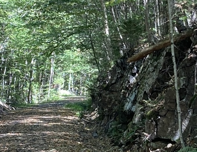
I usually hike solo. The solitude and pace suit me. Sometimes, though, those of us who enjoy non-motorized travel on trails need to speak out together. We’re gentle folk, really, but when we’re provoked, we can get a mite testy.
A pair of recent provocations in the Granite State got us going. People listened. Way to go, team.
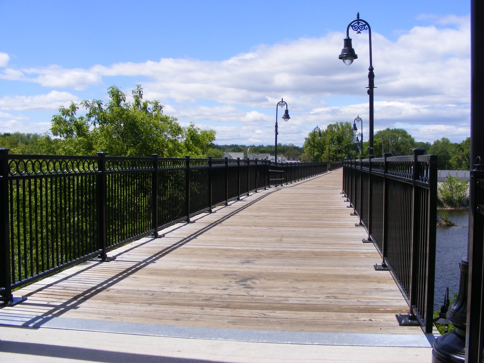
The Derry Tunnel
The I-93 exit 4-A project in Derry has been talked about forever, and when construction finally began, sighs of relief were heard up and down the highway corridor. The original plan called for the Derry Rail Trail to be routed through the area via a tunnel. Straightforward, safe, good for all users.
Then, a few years ago, the plan on paper was suddenly changed, without input from trail-user groups. A “spaghetti” route – the good folks at the state Department of Transportation probably hated that term, but that’s what it was – replaced the original plan. On paper, the revised route would have brought the rail trail up and around a curve to an at-grade crossing of a six-lane town road, followed by a descent back to the old rail right-of-way. The New Hampshire Rail Trails Coalition published a summary of the situation in April 2025, with a link to a New Hampshire Union Leader article.
Groups representing trail users pushed back politely, then more firmly, and heard “no” a lot before finally resorting to litigation against NHDOT and the Federal Highway Administration.
Today, eighteen months later, there’s a Union Leader headline: “Settlement paves way for Derry Rail Trail tunnel.” I love that word “settlement.” This was never about one side needing to beat the other. It was about reaching consensus on a sound plan for a project that will benefit the area for years to come.
The Committee to Save the Derry Rail Trail Tunnel didn’t exist before the spaghetti route sprang up. The Committee came about when trail groups realized they had to band together and speak with one voice in favor of a plan that would optimize safety for everyone traveling near exit 4-A. I’m proud to have served once upon a time on the board of NHRTC, which was a driving force behind the effort to restore the tunnel plan.
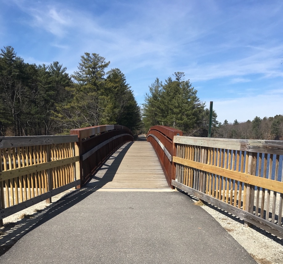
Once the exit 4-A project and the rail trail tunnel are complete, the Derry Rail Trail will join up with the Londonderry, Windham, and Salem rail trails to create a continuous path from the state line to the Manchester airport. Eventually, this will all be part of a Granite State Rail Trail that will connect southern New Hampshire with the existing Northern Rail Trail, all the way to Lebanon.
The Bike Fee
Meanwhile in Concord, where state legislators labor, a proposal to impose a $50 annual bicycle registration fee seems to be going down in flames. A formal House vote hasn’t been scheduled, but the Transportation committee got an earful during the January 27 hearing on HB 1703.
Not only did people show up at the bill’s hearing, but over 14,000 people signed in online in opposition. For about two solid weeks before the hearing, I couldn’t check my email or open a social media feed without being hit with a blast from people urging opposition to the bill. It was beautiful, spontaneous, perfectly civil resistance to an ill-considered proposal.
The bill’s sponsor paid attention. As reported by WMUR, he said “We’re not going to be moving forward with this…please don’t beat up on the Transportation Committee anymore.”
The bill’s text indicated that its purpose was to raise funds for bike paths and trails. I agree with the sponsor that New Hampshire needs to come up with better ways to fund trails, but telling families to cough up fifty bucks per bike per year is a tough sell. The kicker was that the bill’s fiscal note said there would be no effect on municipal expenditures. Tell that to the cops who would have been expected to write up tickets for noncompliance.
Many voices delivering one message derailed HB 1703.
A place at the table
Many conversations loom ahead about funding and placement of trails and paths for walkers and cyclists. There’s always another highway project just around the corner. There are always questions about how to allocate limited state resources to trail maintenance. Where’s the money coming from? What are the best ways to align the interests of motorized and non-motorized trail users?
The two recent situations serve as a reminder that whenever such discussions are happening, non-motorized trail users belong at the table, working with all other interested parties.
One way to keep up with what’s happening with trail policy is to follow the NHRTC and the Bike-Walk Alliance of New Hampshire.
I still prefer hiking alone. When it comes to trail policy, though, I can see the advantage of working with a team.